© Südtirol - Alto Adige - Naturapp Südtirol - Alto Adige

- Lyhyt kuvaus
-
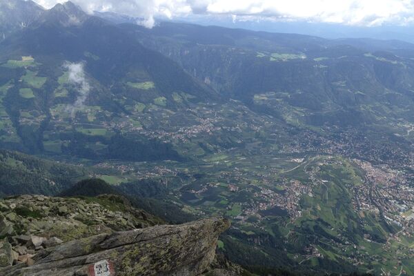
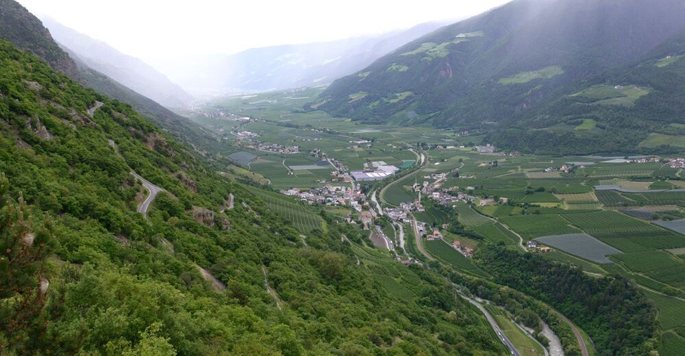
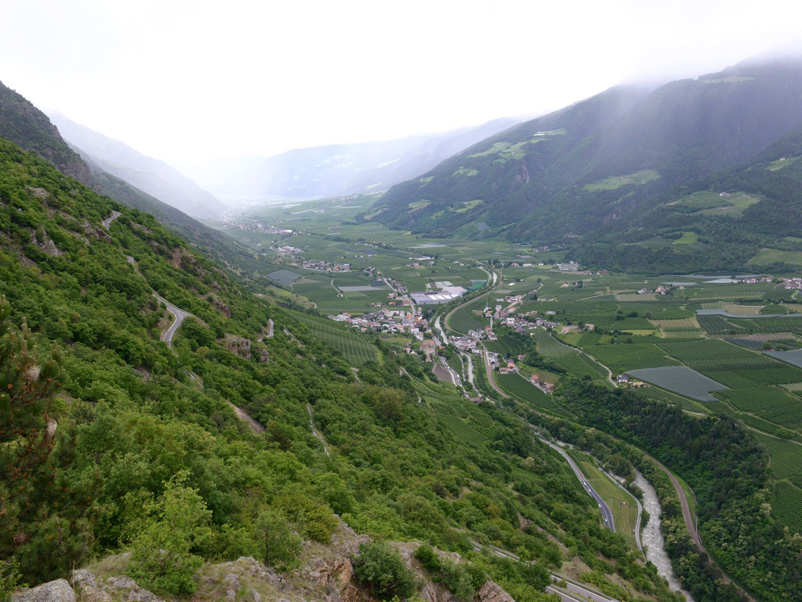
The landscape of this special hike on Sonnenberg mountain is dominated by sparsely forested inner-Alpine dry vegetation. This hike provides insights into this unique vegetation zone as well as exceptional views of a mudslide/scree area characteristic of the Vinschgau valley.
- Vaikeus
-
tapa
- Arviointi
-
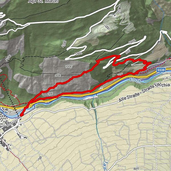
- Reitti
-
Hofschank Pfraum3,2 km
- Paras kausi
-
tammihelmimaalishuhtitoukokesäheinäelosyyslokamarrasjoulu
- Korkein kohta
- 954 m
- Kohde
-
Starting point
- Korkeusprofiili
-
 © outdooractive.com
- Kirjoittaja
-
Kiertue Sonnenberg mountain, a clear view of the Vinschgau valley käyttää outdooractive.com toimitettu.
GPS Downloads


Yleistä tietoa
Virvokepysäkki
Flora
Fauna
Lupaava
Lisää retkiä alueilla
-
Vinschgau
1278
-
Kastelbell - Tschars
578
-
Tschars
86