
- Lyhyt kuvaus
-
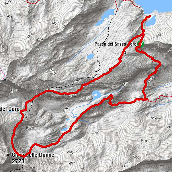
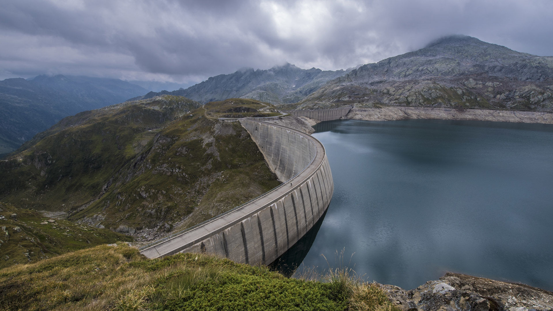
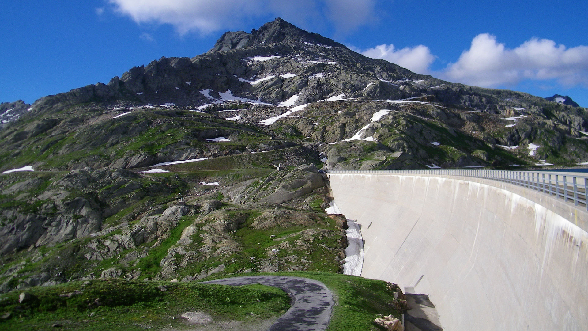
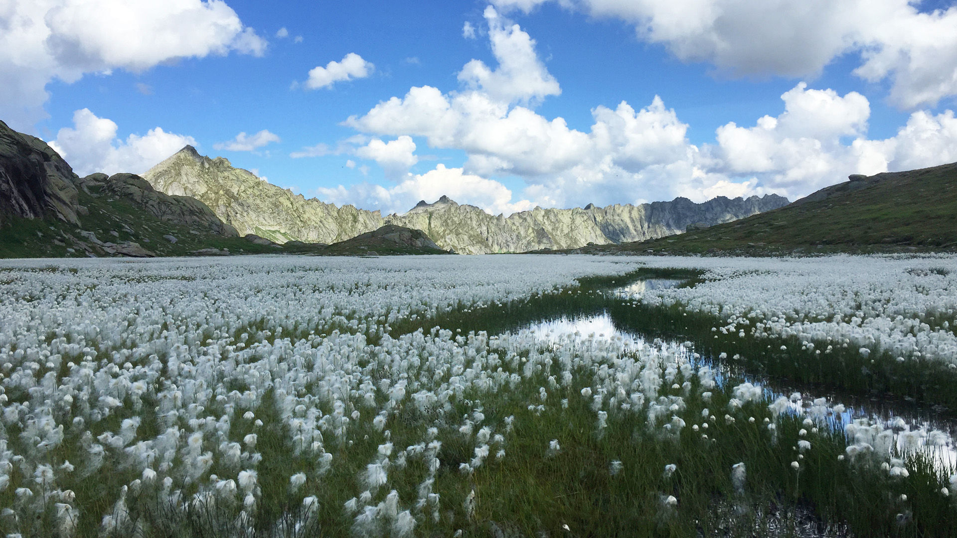
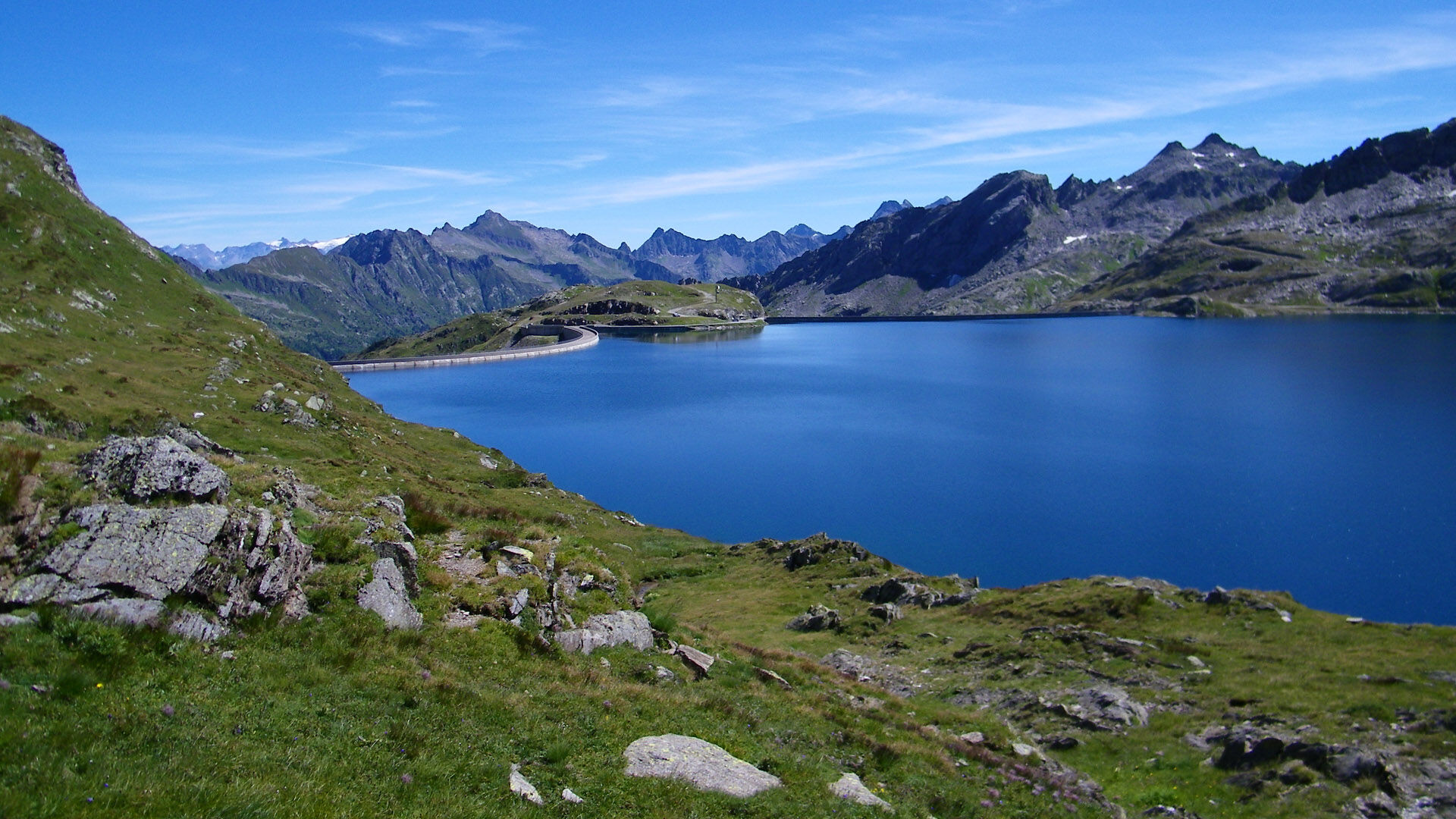
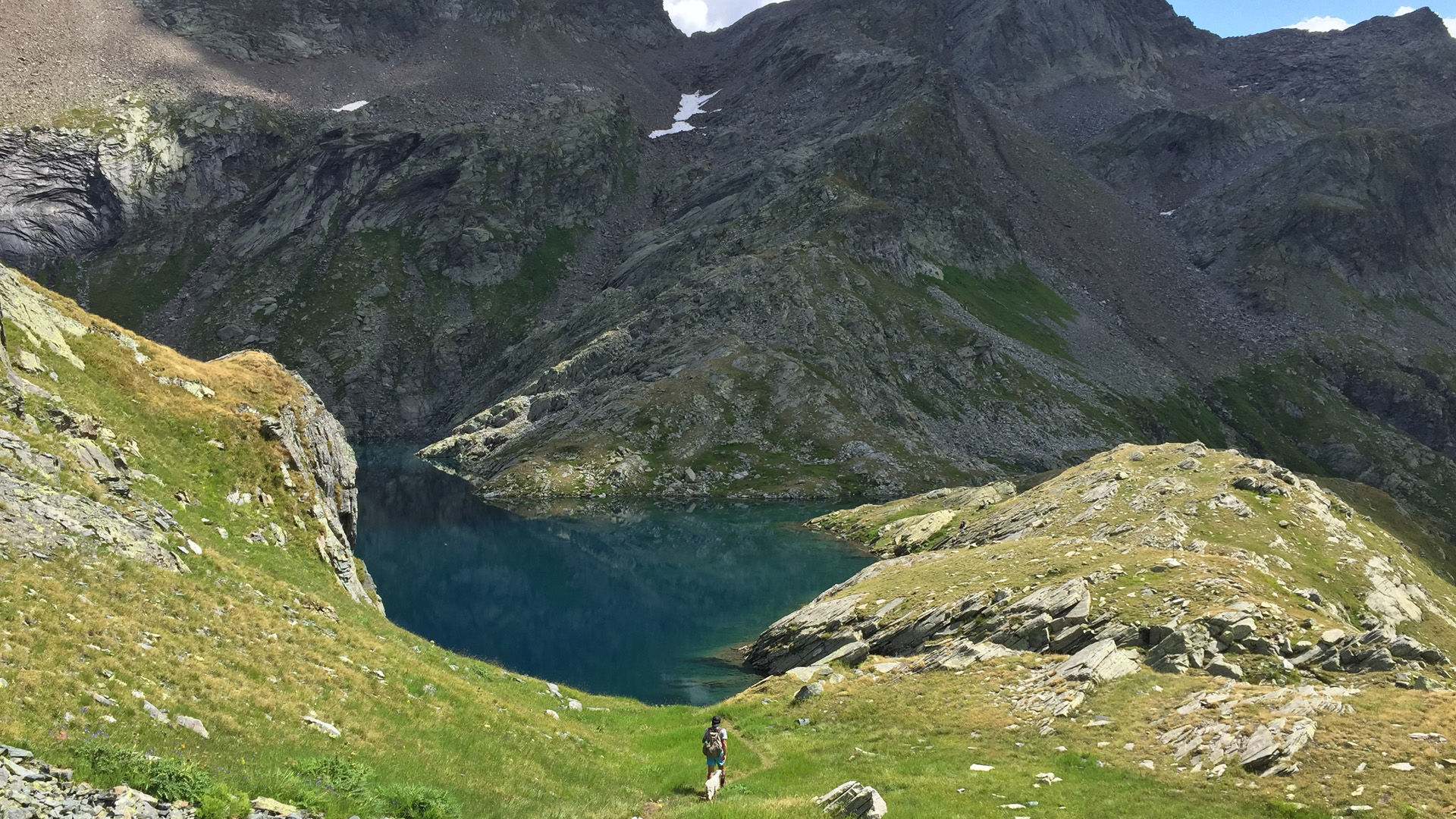
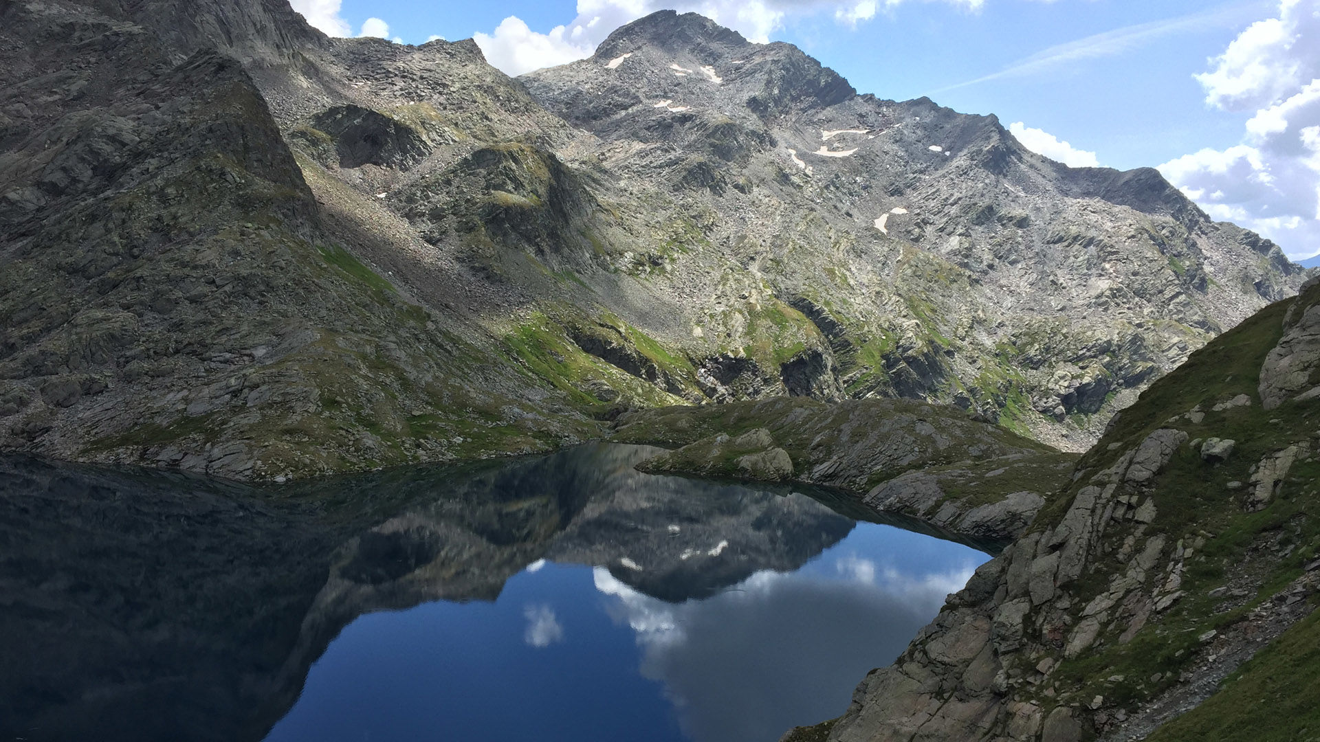
Mighty expanses, majestic mountains and crystal-clear lakes. A red-and-white waymarked tour through an alpine lake landscape.
- Vaikeus
-
tapa
- Arviointi
-
- Reitti
- Paras kausi
-
tammihelmimaalishuhtitoukokesäheinäelosyyslokamarrasjoulu
- Korkein kohta
- 2.620 m
- Kohde
-
Lago del Naret
- Korkeusprofiili
-
 © outdooractive.com


-

-
KirjoittajaKiertue Lago del Naret-Sasso Nero-Lago del Naret käyttää outdooractive.com toimitettu.
GPS Downloads


Yleistä tietoa
Virvokepysäkki
Kulttuuri/Historiallinen
Flora
Fauna
Lupaava
Lisää retkiä alueilla
-
Aletsch Arena
1471
-
Bavonatal
393
-
Bedretto
95