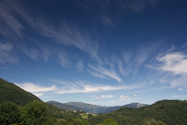
© Lago Maggiore e Valli - Mariano Berri

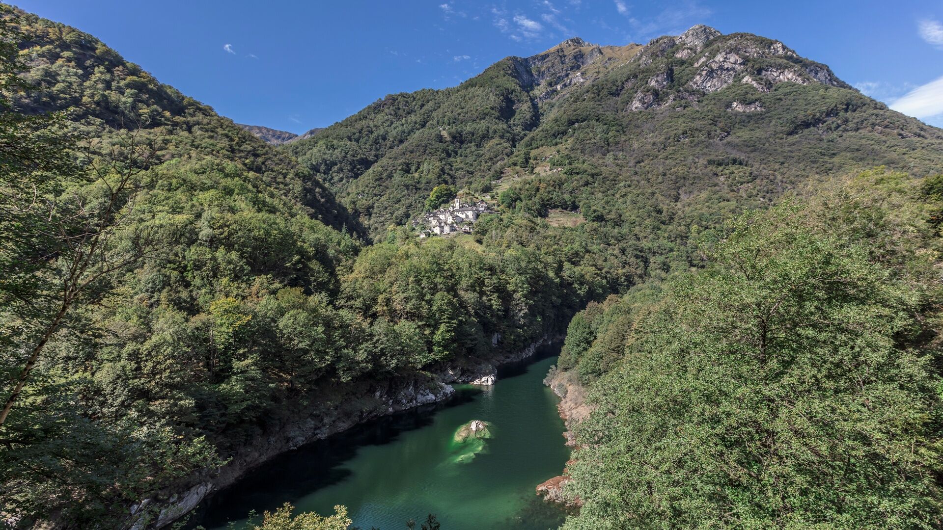
© Lago Maggiore e Valli - Alessio Pizzicannella

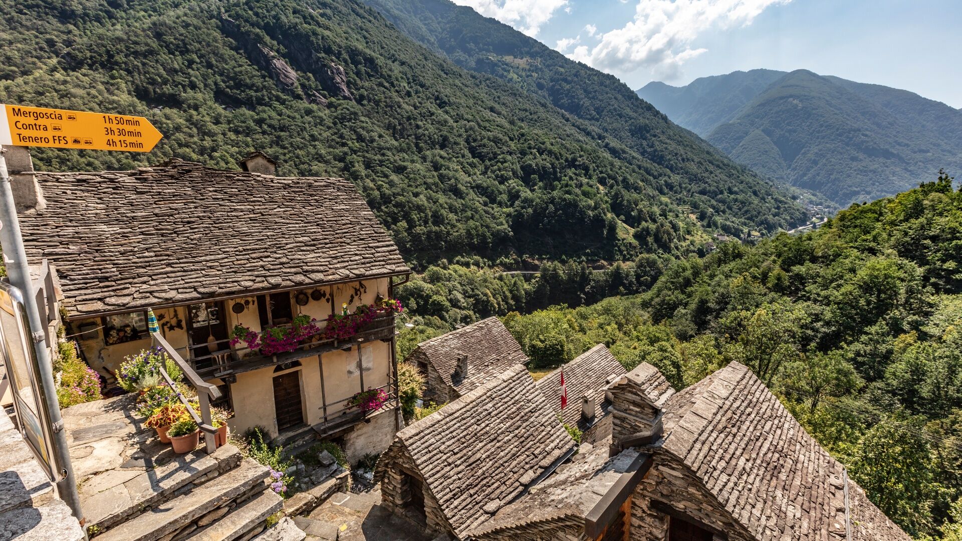
© Lago Maggiore e Valli - Alessio Pizzicannella

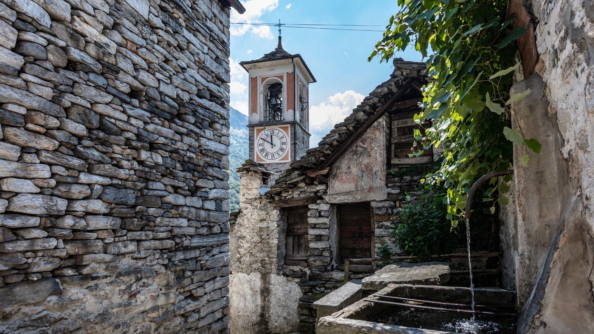
© Lago Maggiore e Valli - Alessio Pizzicannella

© Lago Maggiore e Valli - Alessio Pizzicannella

- Lyhyt kuvaus
-
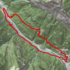
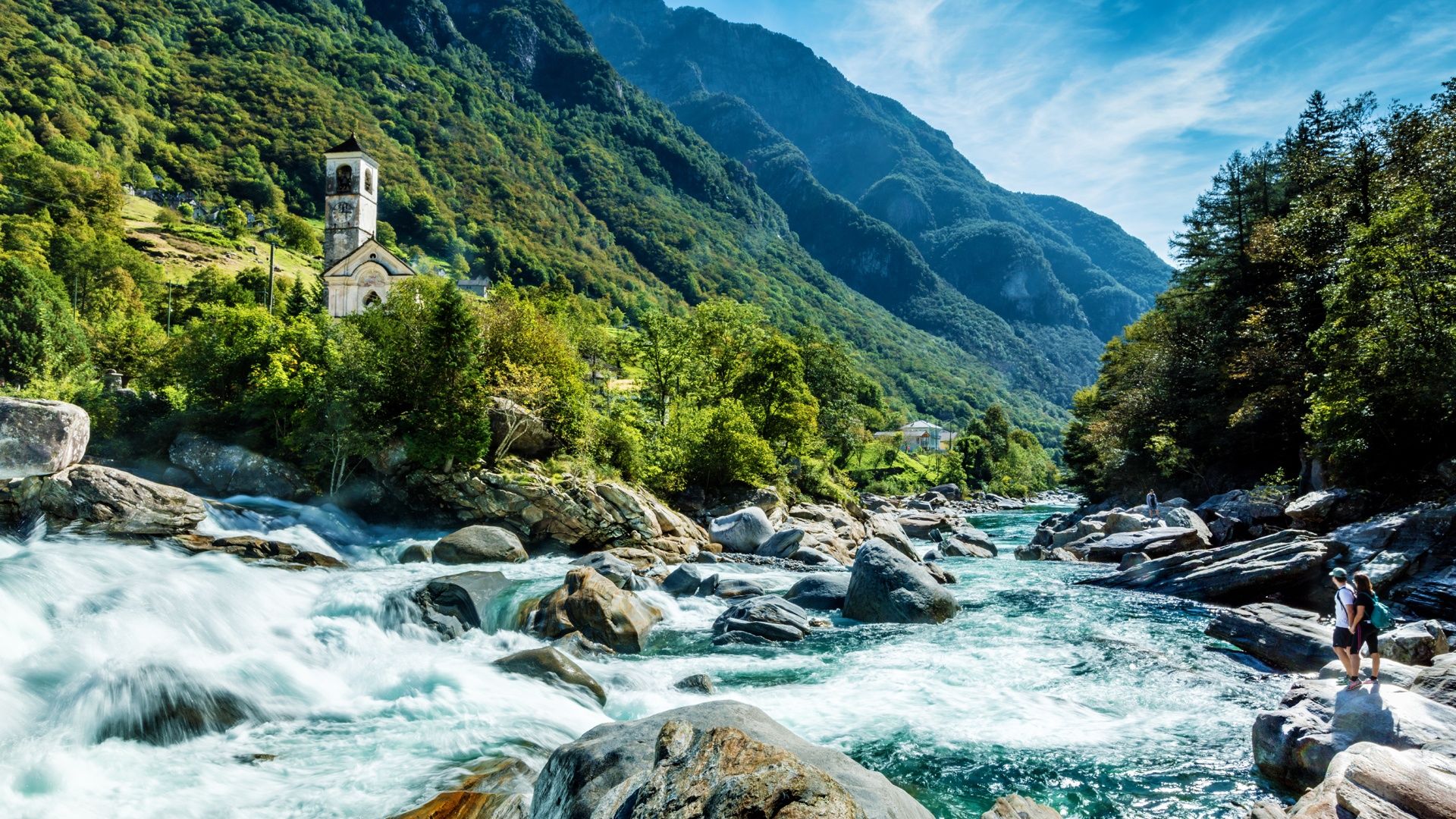
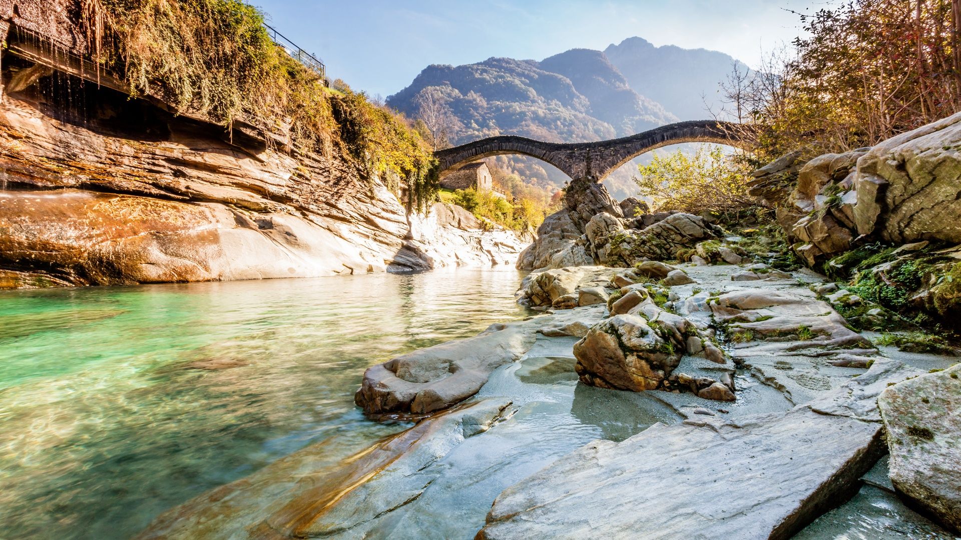
The Sentierone is a trail that leads through the whole of the Verzasca valley. The section from the Verzasca dam to Lavertezzo is lovely and great for families.
- Vaikeus
-
tapa
- Arviointi
-
- Reitti
-
Diga della Verzasca0,2 kmBusada3,8 kmOsteria della Posta4,7 kmMergoscia (735 m)5,0 kmSan Bartolomeo8,7 kmOsteria Corippo9,4 kmCorippo (558 m)9,5 kmSanta Maria del Carmine9,5 kmFoo10,2 kmGrotto al Ponte12,5 kmLavertezzo (536 m)12,9 kmRistorante della Posta12,9 km
- Paras kausi
-
tammihelmimaalishuhtitoukokesäheinäelosyyslokamarrasjoulu
- Korkein kohta
- 889 m
- Kohde
-
Lavertezzo, Paese
- Korkeusprofiili
-
 © outdooractive.com

-
-
KirjoittajaKiertue Diga Verzasca-Mergoscia-Corippo-Lavertezzo käyttää outdooractive.com toimitettu.
GPS Downloads


Yleistä tietoa
Virvokepysäkki
Lisää retkiä alueilla
-
Lago Maggiore / Lombardei
745
-
Gambarogno Riviera
592
-
Lavertezzo
155