
- Lyhyt kuvaus
-
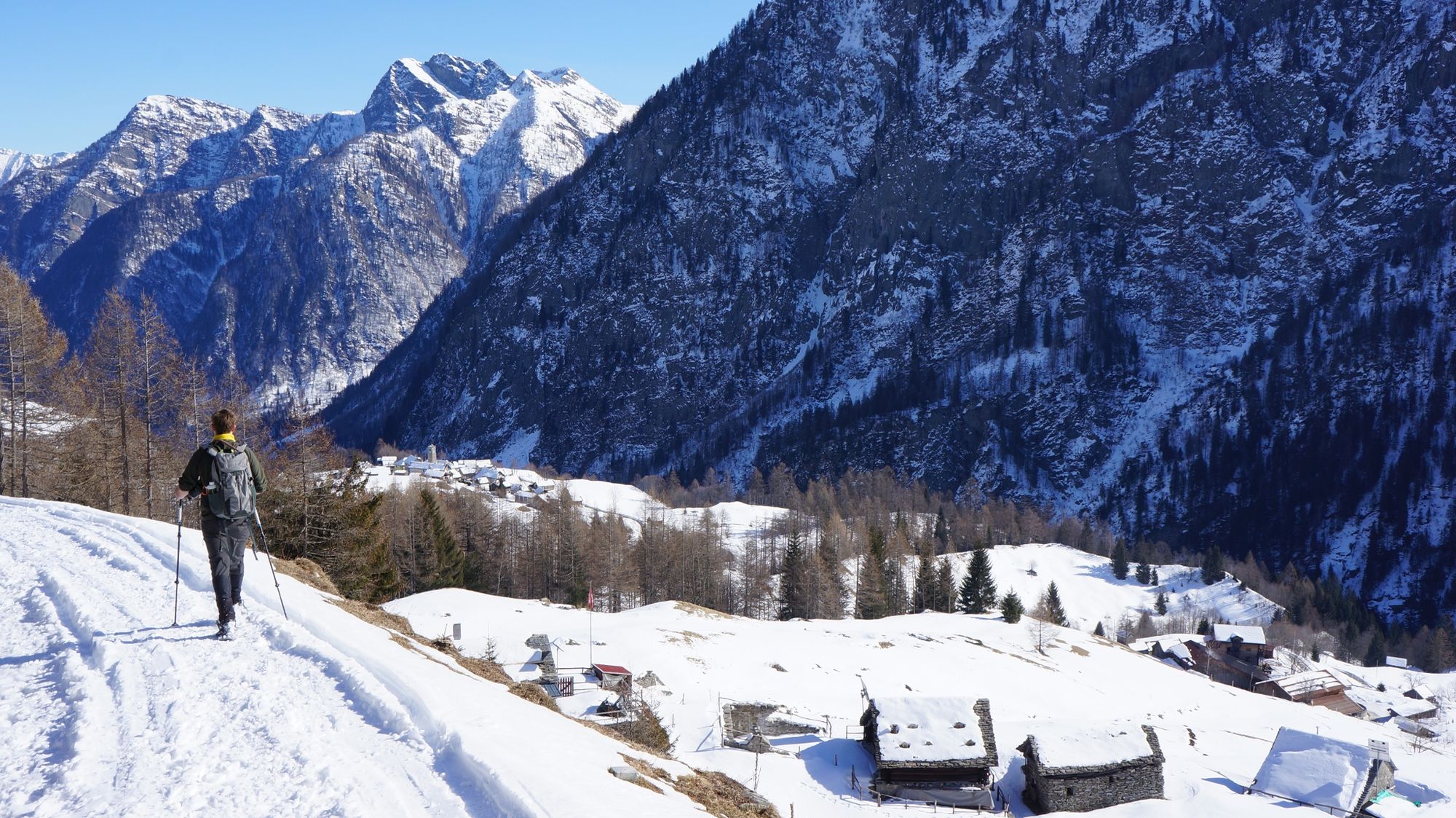
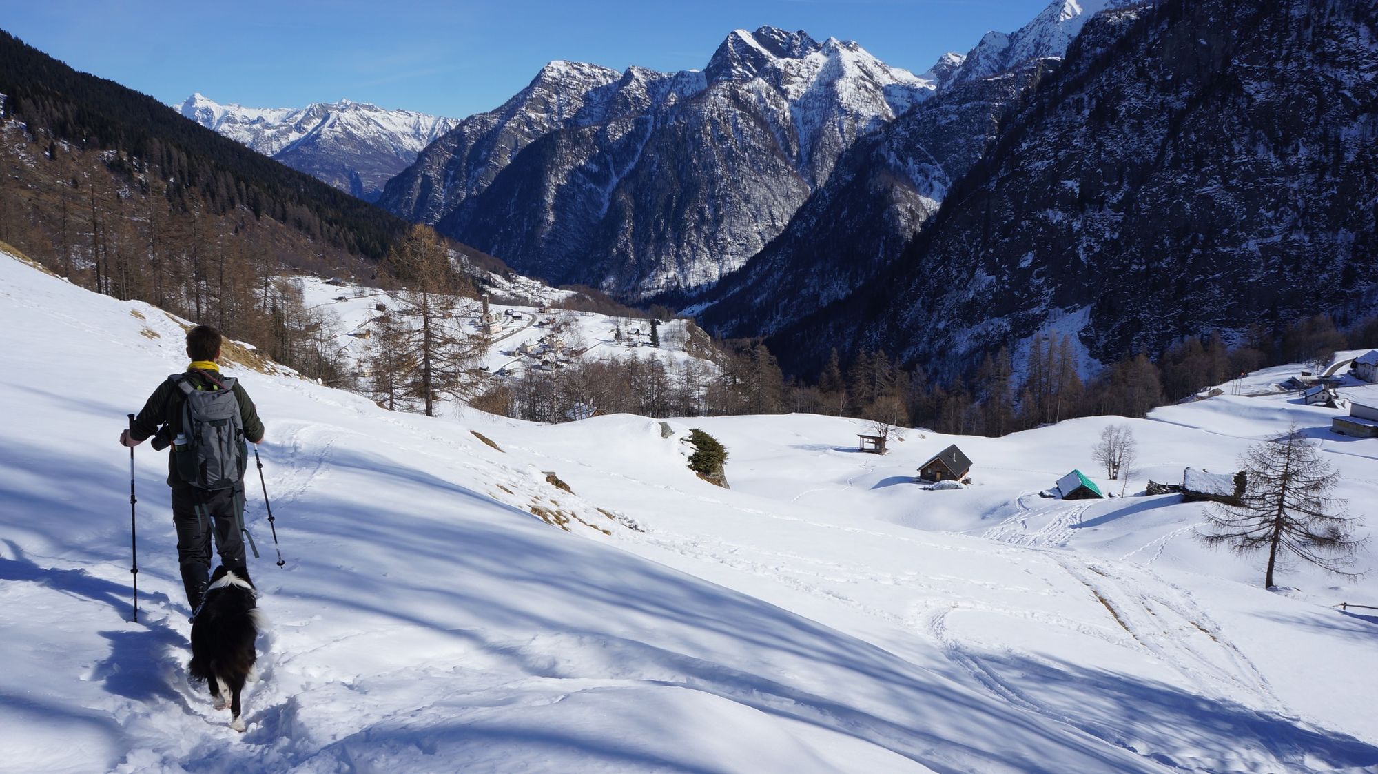
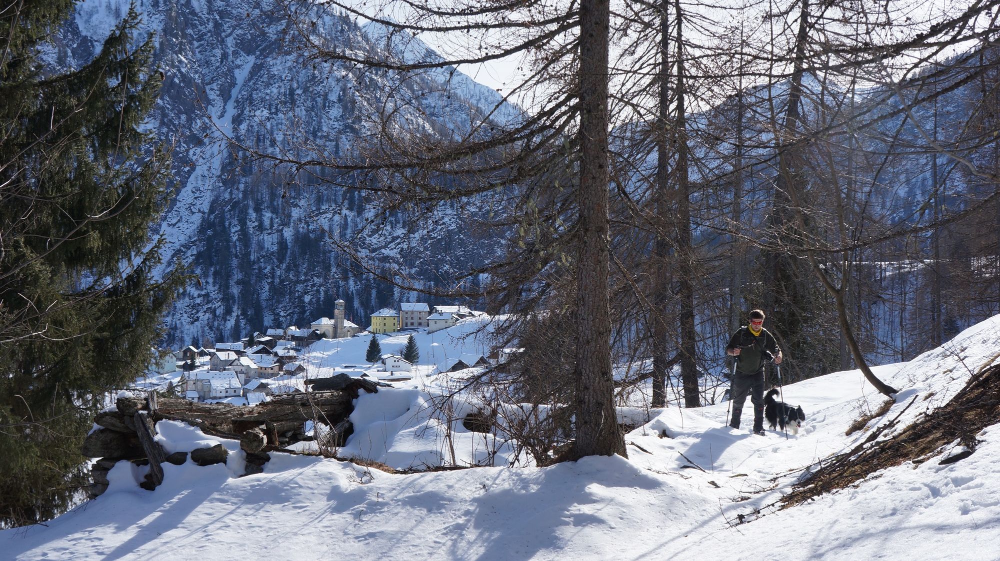
A wonderful tour in the snow to discover the authentic alpine nature of Ticino. Away from the busy roads and the well-frequented ski resorts, you can immerse yourself in a with icing sugar covered landscape and experience the magic of winter.
- Vaikeus
-
tapa
- Arviointi
-
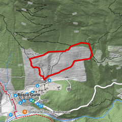
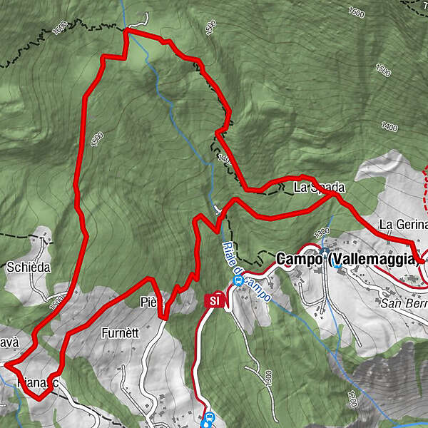
- Reitti
-
La Gerina0,1 kmLa Spada0,4 kmCavà2,6 kmPianasc2,7 kmPiètt3,4 kmLa Spada4,4 kmCampo (Vallemaggia) (1.318 m)4,7 kmLa Gerina4,7 km
- Paras kausi
-
elosyyslokamarrasjoulutammihelmimaalishuhtitoukokesäheinä
- Korkein kohta
- 1.540 m
- Kohde
-
Campo Vallemaggia
- Korkeusprofiili
-
 © outdooractive.com


-
-
KirjoittajaKiertue Percorso Campo Vallemaggia (SwitzerlandMobility 965) käyttää outdooractive.com toimitettu.
GPS Downloads


Yleistä tietoa
Sisäpiirin vinkki
Lupaava
Lisää retkiä alueilla