- Lyhyt kuvaus
-
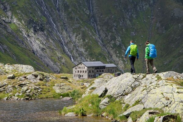
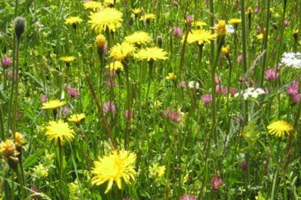
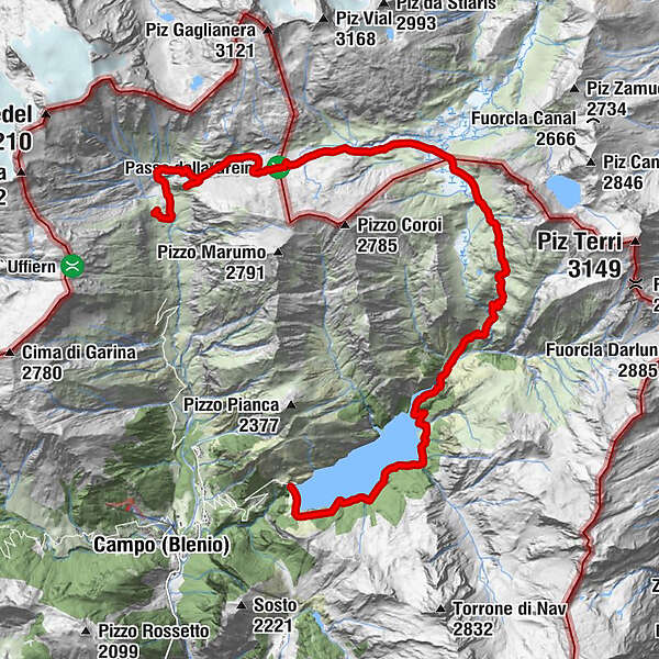
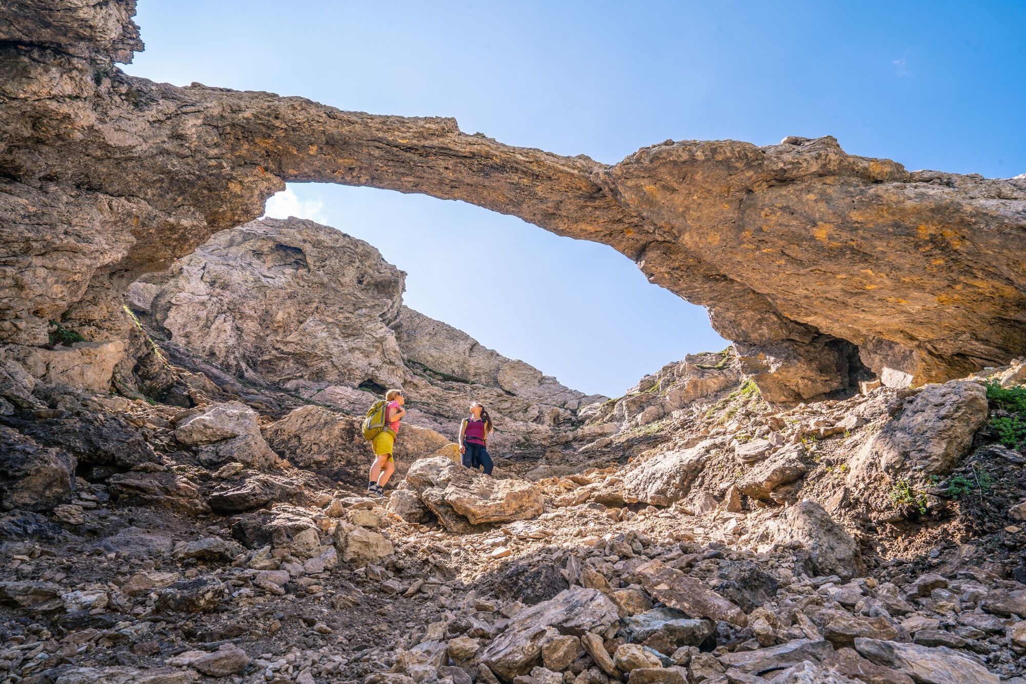
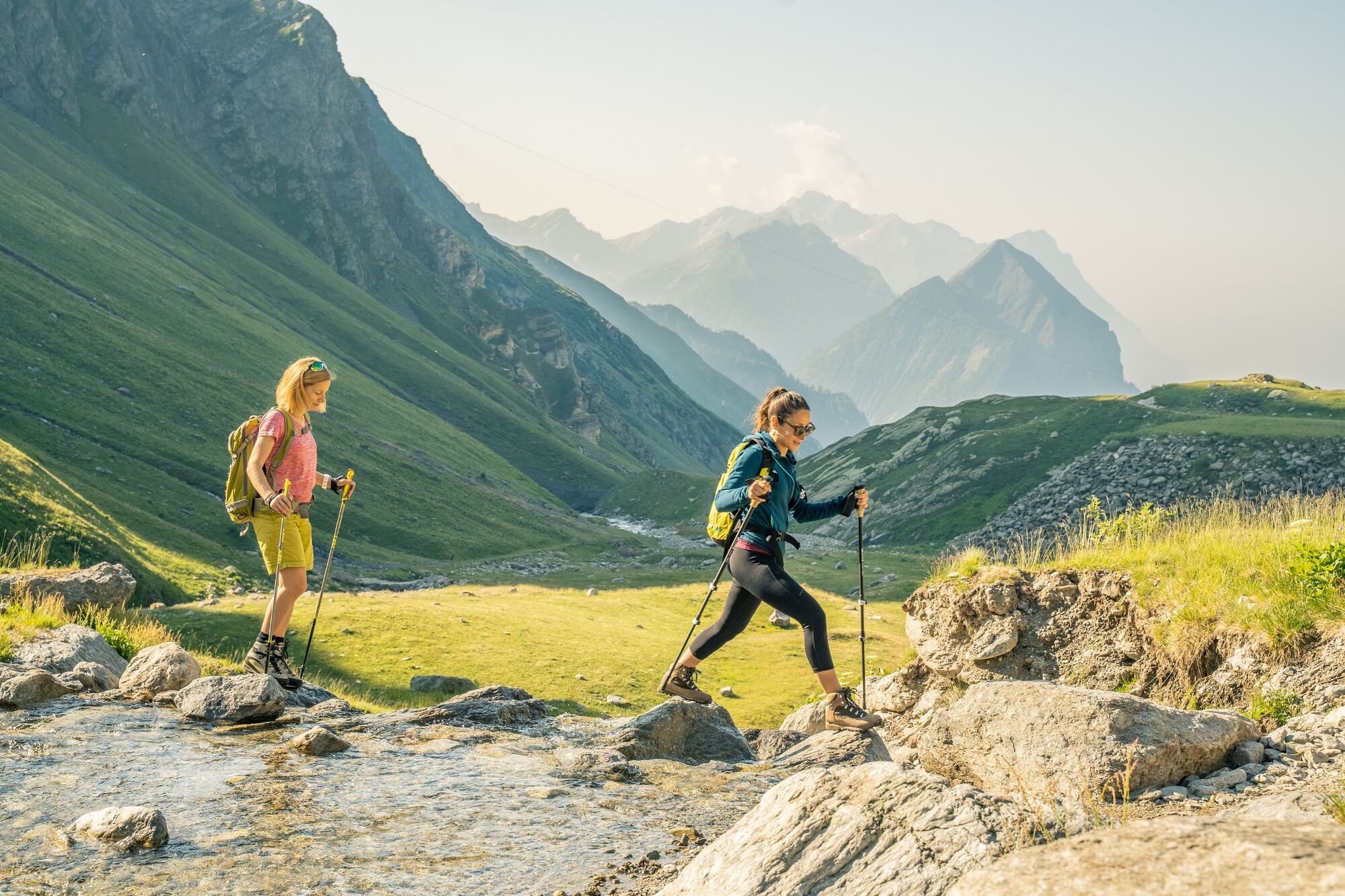
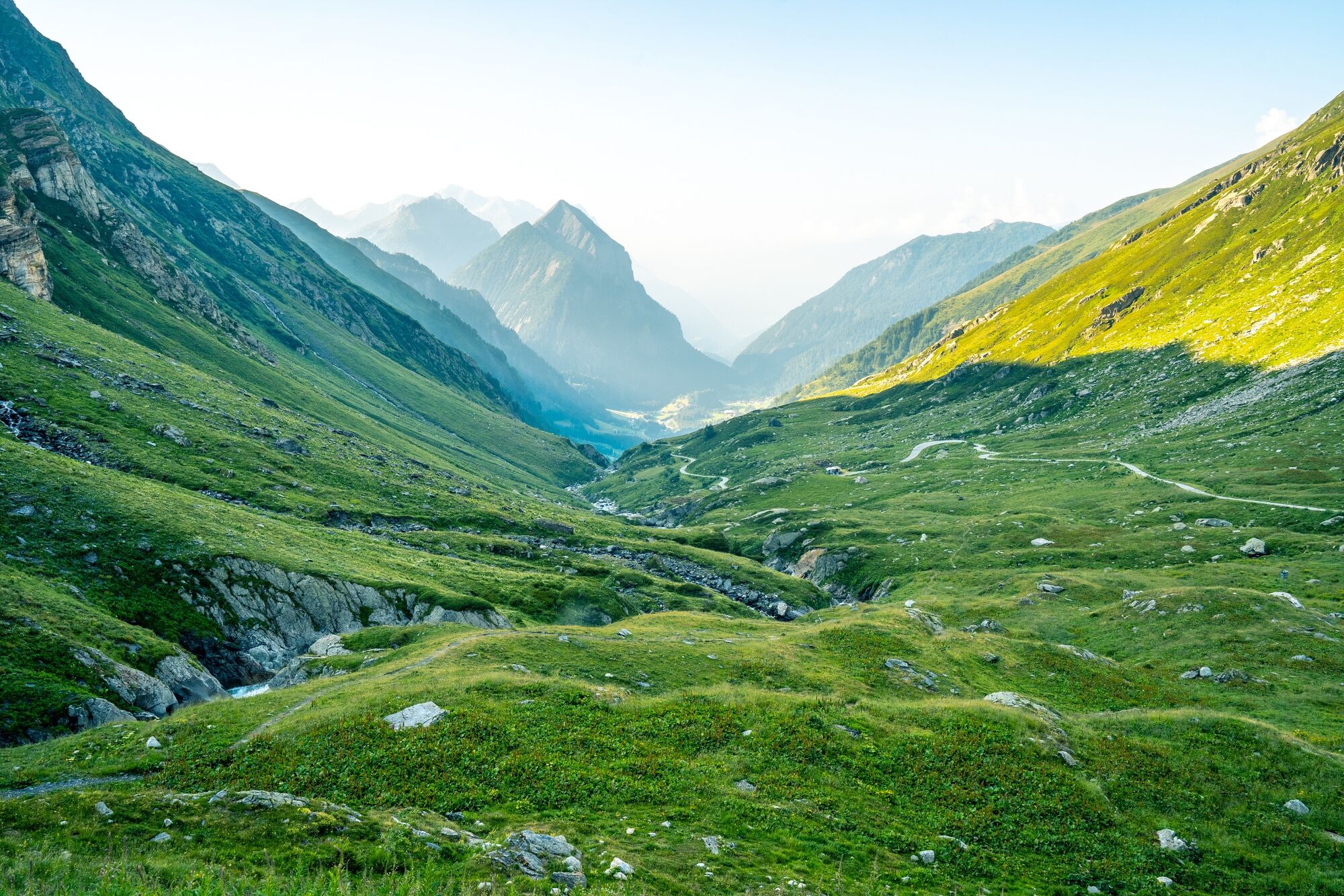
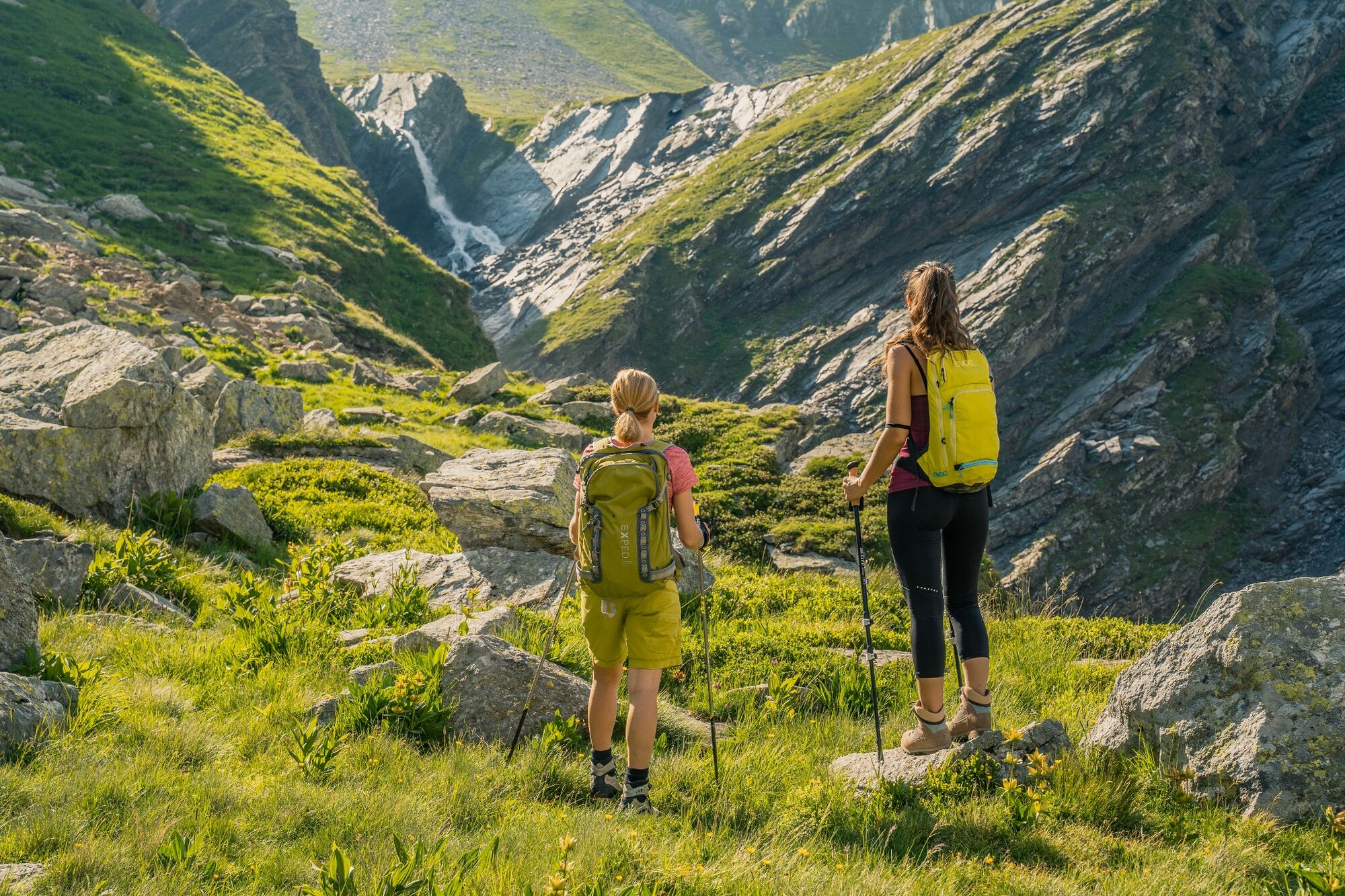
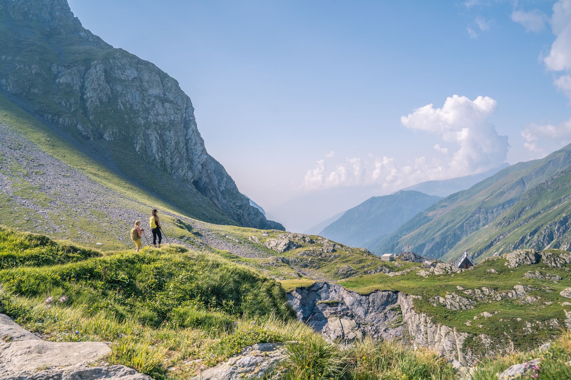
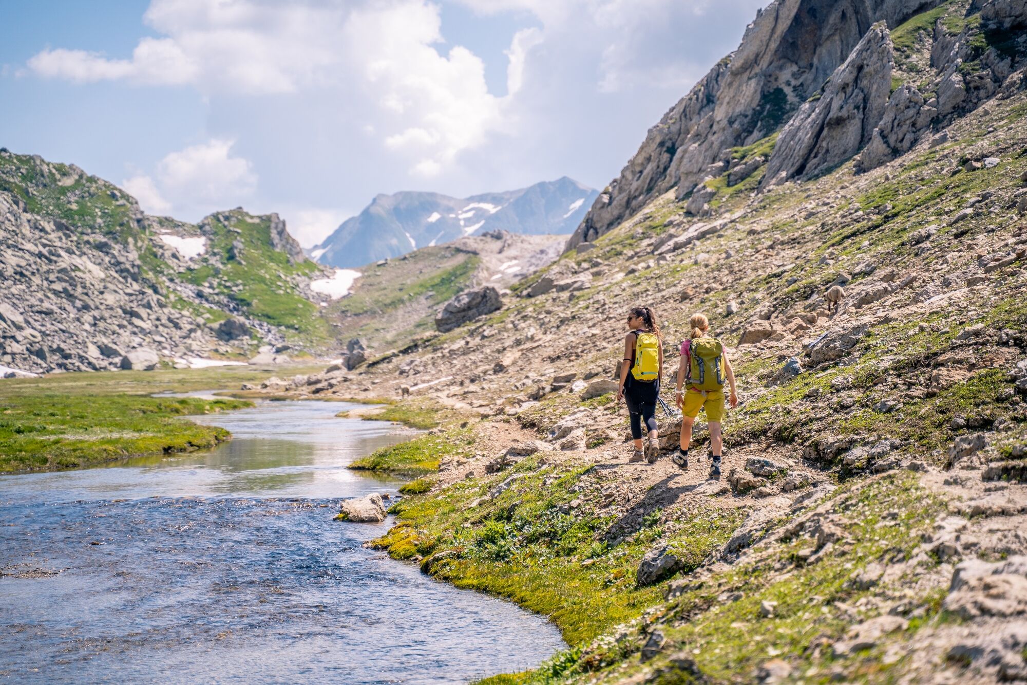
Prepare to be charmed by the poetry of the alpine tundra. Set your soul free on the Greina plateau, where the torrents flow undisturbed, creating peat bogs and ponds.
- Vaikeus
-
tapa
- Arviointi
-
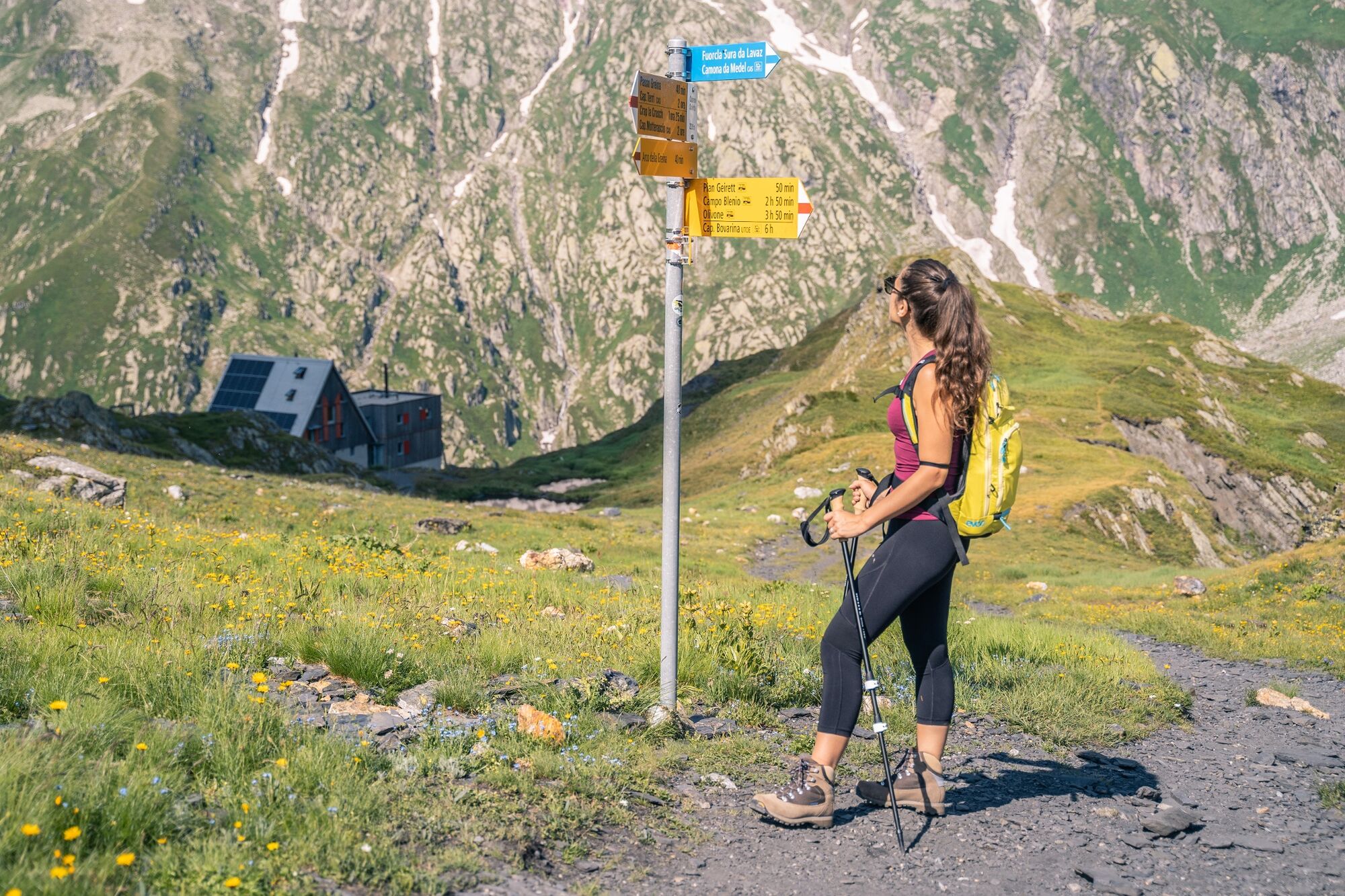
- Reitti
-
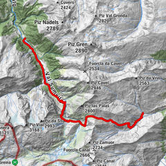
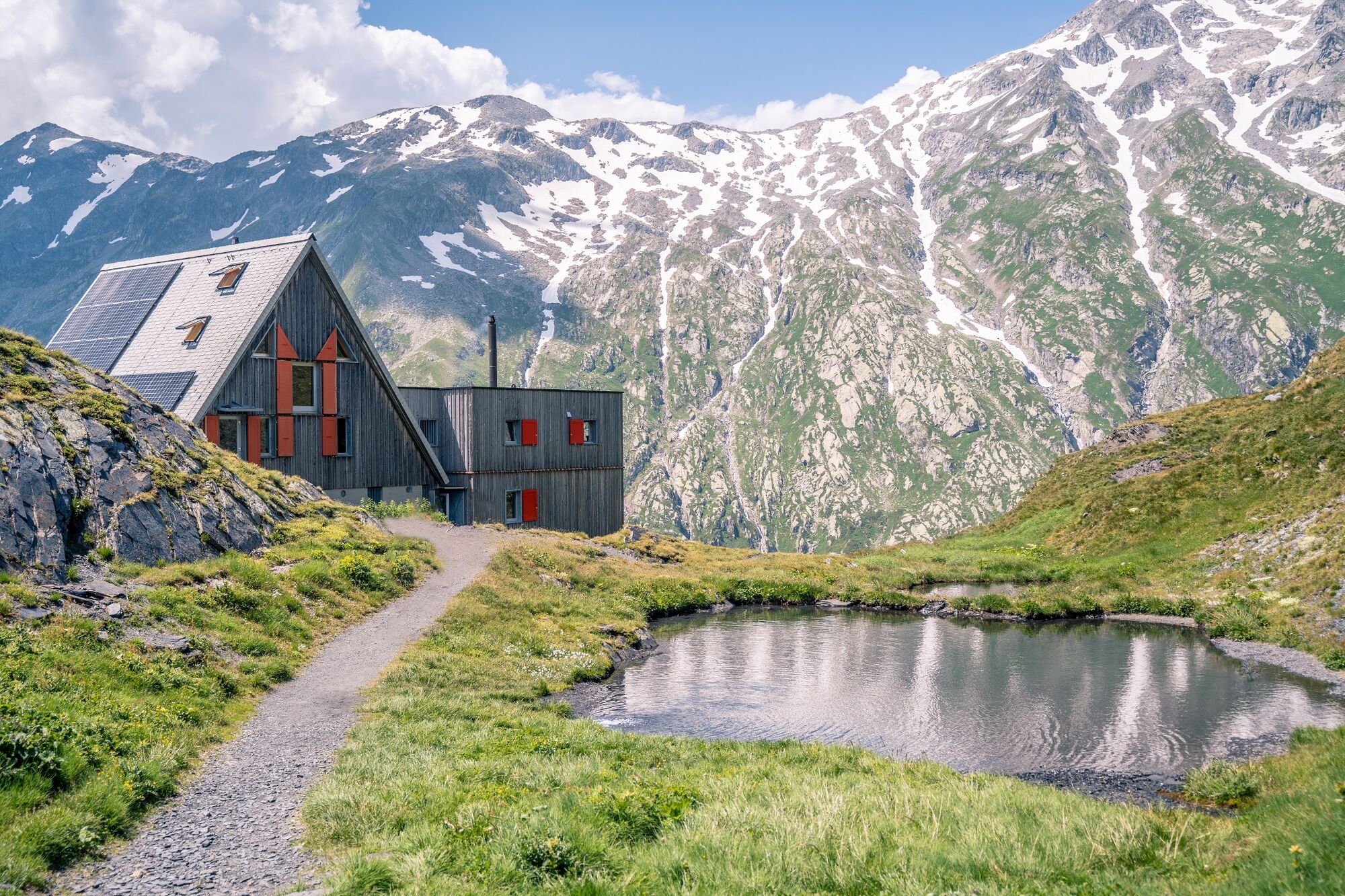
Capanna Scaletta2,5 kmPasso della Greina (2.354 m)4,6 kmMotterasciohütte10,3 kmAlpe Garzott (1.628 m)14,3 km
- Paras kausi
-
tammihelmimaalishuhtitoukokesäheinäelosyyslokamarrasjoulu
- Korkein kohta
- 2.364 m
- Kohde
-
Luzzone Dam
- Korkeusprofiili
-
 © outdooractive.com
-

-
KirjoittajaKiertue The Greina plateau and its arch käyttää outdooractive.com toimitettu.
GPS Downloads


Yleistä tietoa
Virvokepysäkki
Sisäpiirin vinkki
Lupaava
Lisää retkiä alueilla
-
Uri
1542
-
Bleniotal / Valle Blenio
343
-
Vrin / Lumnezia
120