© Thüringen-entdecken.de - Paul Hentschel

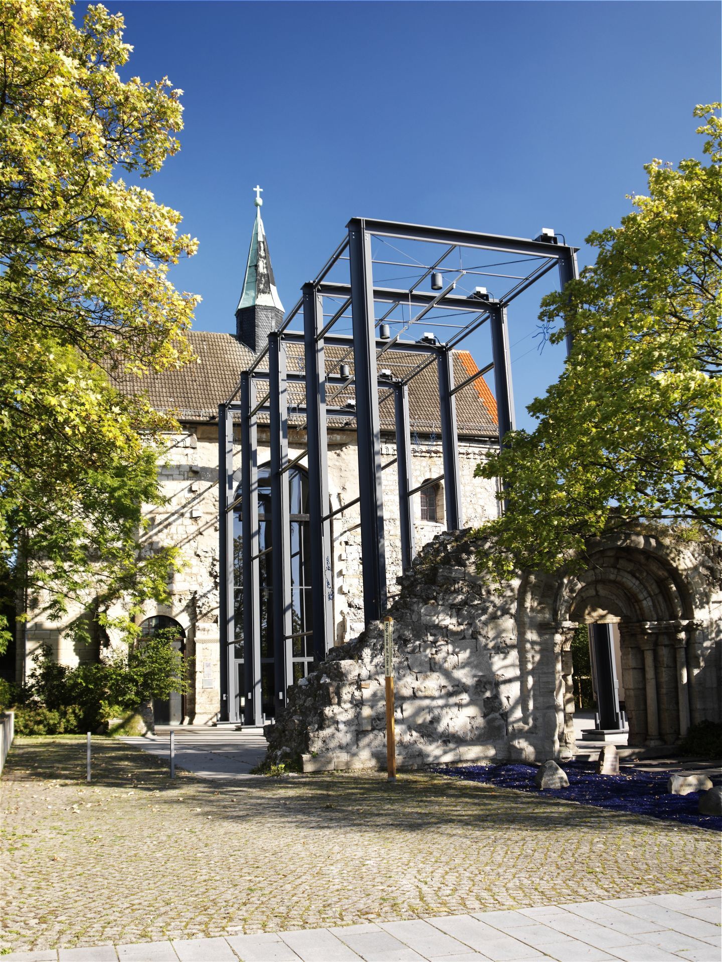
© Thüringen-entdecken.de - Paul Hentschel

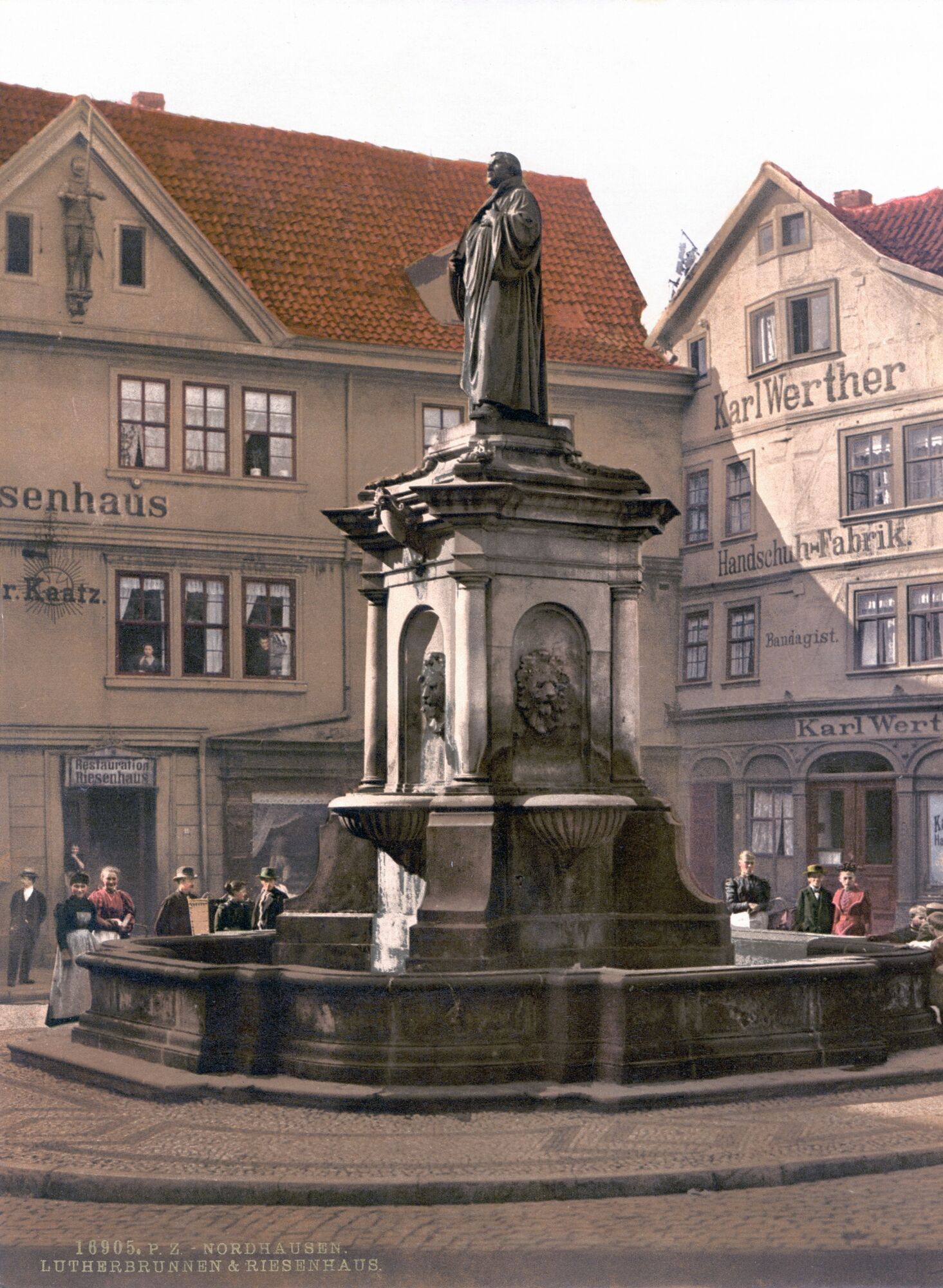
© [Public domain or Public domain], via Wikimedia Commons - unbekannt

© Thüringen-entdecken.de - Paul Hentschel

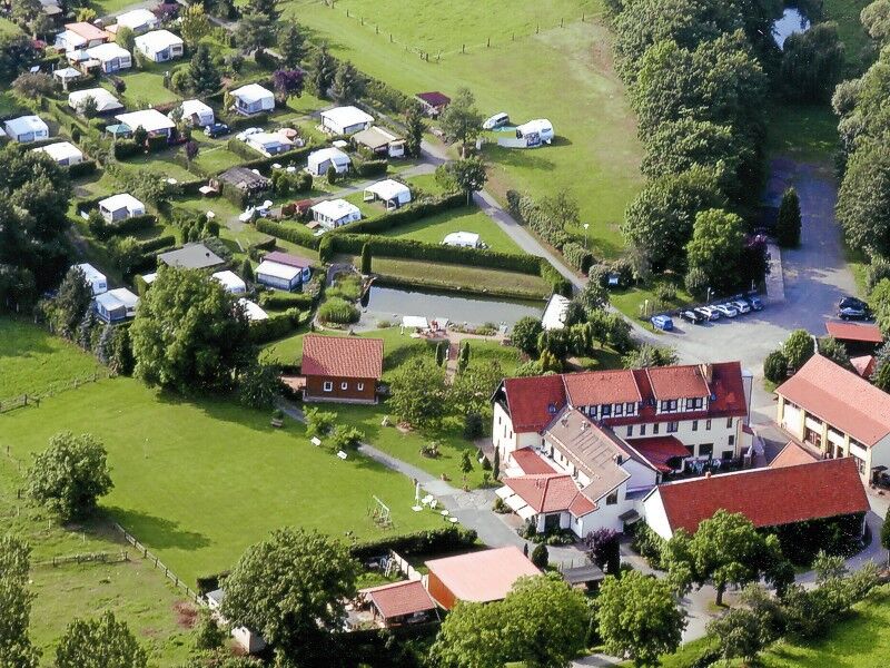
© http://www.wolfsmuehle.de/ - Doris Hempel

© von Olaf Meister (Eigenes Werk) [CC BY-SA 3.0 (http://creativecommons.org/licenses/by-sa/3.0) oder GFDL (http://www.gnu.org/copyleft/fdl.html)], via Wikimedia Commons - Olaf Meister
- Lyhyt kuvaus
-
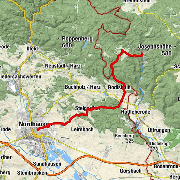
From the gate of the Südharz region, over the federal border to the birthplace of Thomas Müntzer.
- Vaikeus
-
tapa
- Arviointi
-
- Reitti
-
Nordhausen (185 m)0,2 kmZentrum0,2 kmKuckucksmühle3,1 kmHimmelgarten3,2 kmSteigerthal6,9 kmStein 1009,2 kmStempeda11,4 kmRodishain13,0 kmHainfeld18,5 kmLutherbuche20,3 kmStadt Stolberg (Harz) (296 m)20,9 kmMarienkapelle21,0 kmSt. Martini21,1 km
- Paras kausi
-
tammihelmimaalishuhtitoukokesäheinäelosyyslokamarrasjoulu
- Korkein kohta
- 467 m
- Kohde
-
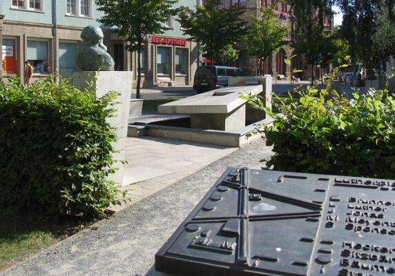
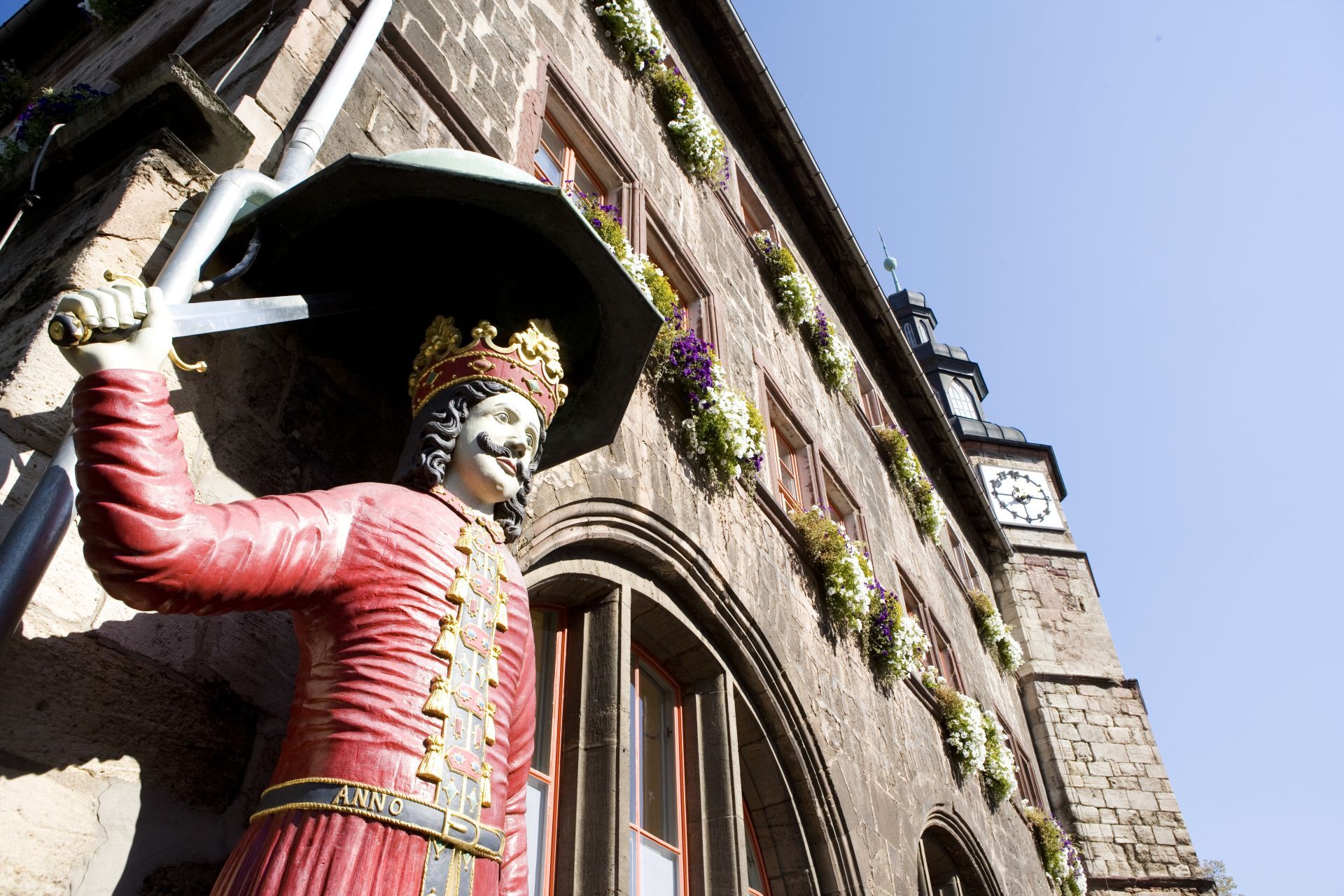
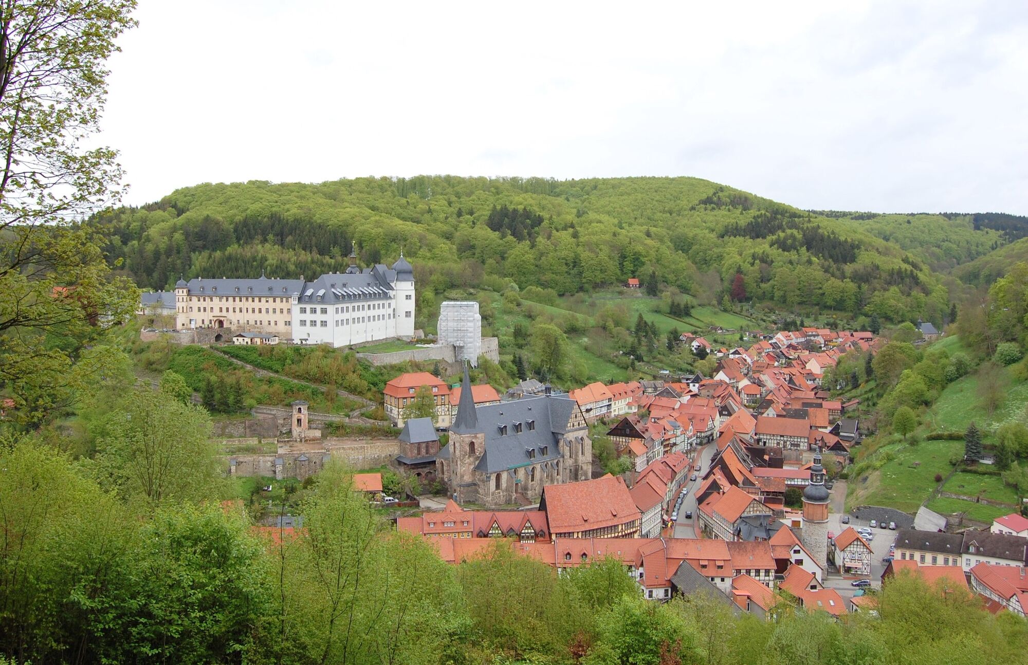
St Martini Church Stolberg
- Korkeusprofiili
-
 © outdooractive.com
-

-
KirjoittajaKiertue Luther Trail: Section 46 – From Nordhausen to Stolberg käyttää outdooractive.com toimitettu.
GPS Downloads
Yleistä tietoa
Virvokepysäkki
Kulttuuri/Historiallinen
Lupaava
Lisää retkiä alueilla
-
Der Harz/ Thüringen
1090
-
Bodetal
618
-
Stolberg
113