© Alpbachtal Tourismus

© Alpbachtal - Matthias Sedlak

© Christian Vorhofer
© Alpbachtal Tourismus
© Alpbachtal Tourismus - Gabriele Grießenböck

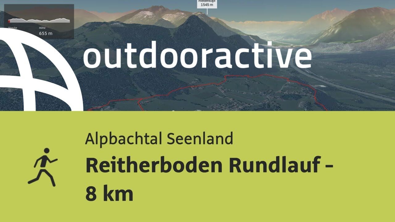
© Outdooractive – 3D Videos

© Alpbachtal Tourismus - Gabriele Grießenböck
© Alpbachtal Tourismus

- Lyhyt kuvaus
-
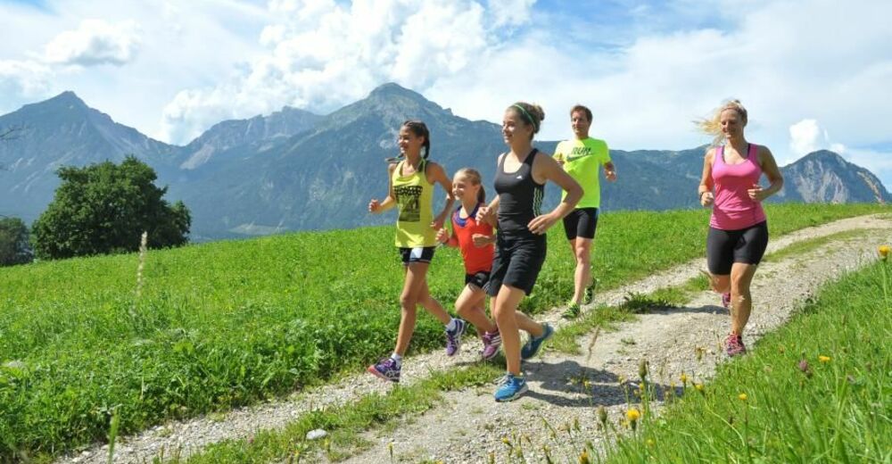
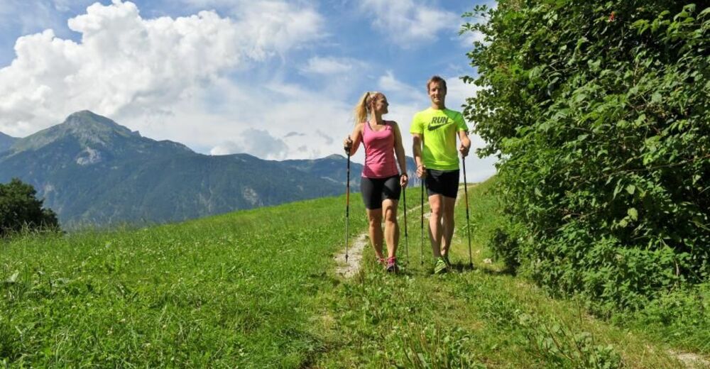
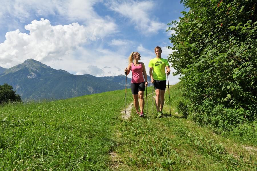
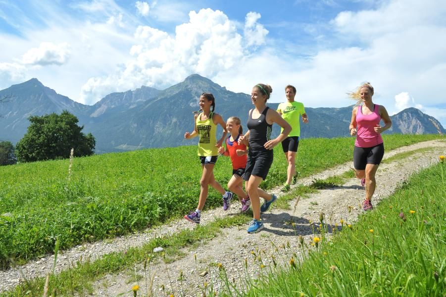
Running trail - medium difficulty.
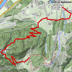
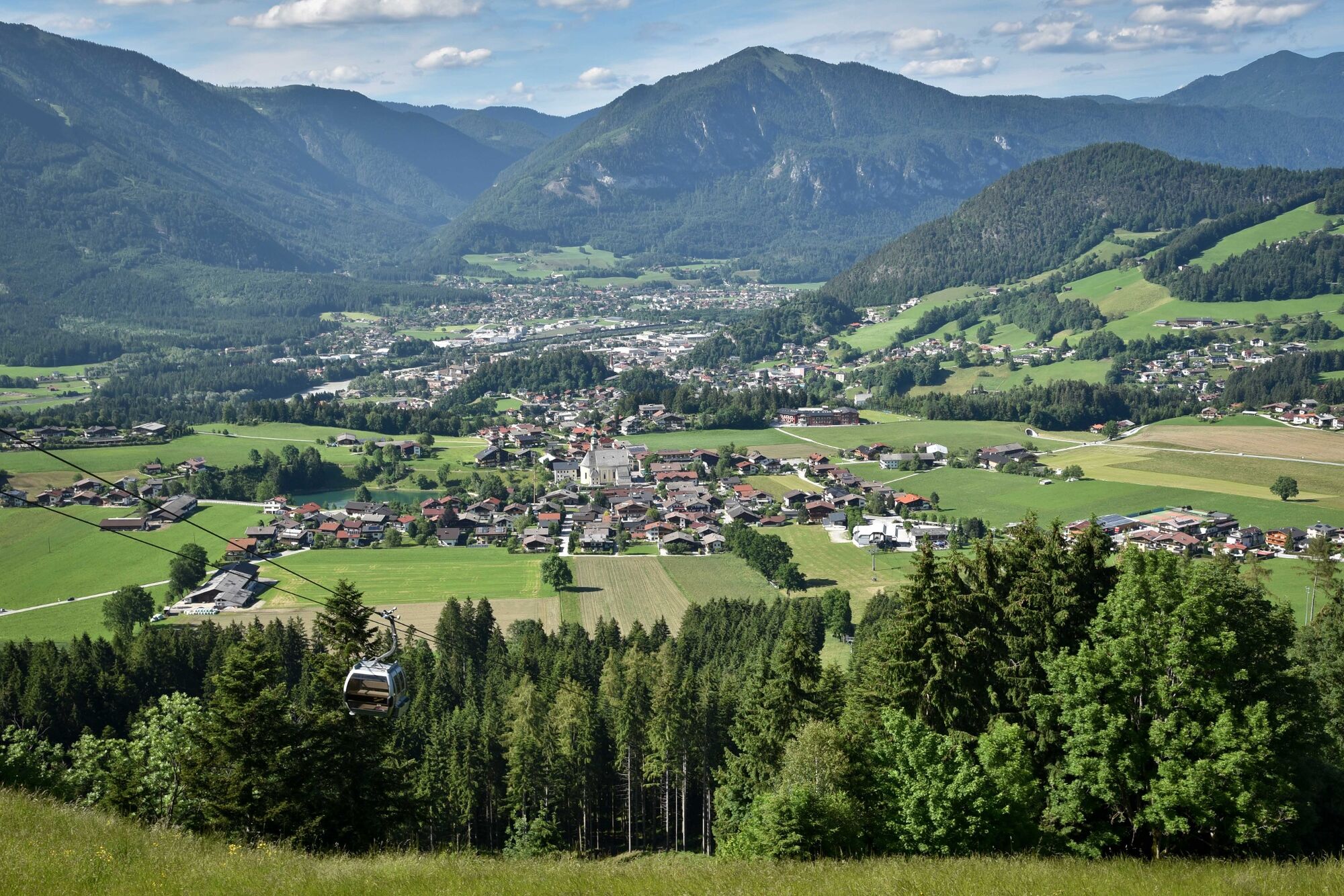
The start and finish for all 3 trails is at the Reitherkogelbahn car park. The initial section of the trail leads towards Alpbach. After approx. 300 m at the first marker turn right and follow the trail to the Hub-chapel. All three trails share the initial 1,8 km to the Hub-chapel, from this point the routes branch out in their respective direction.
- Vaikeus
-
tapa
- Arviointi
-
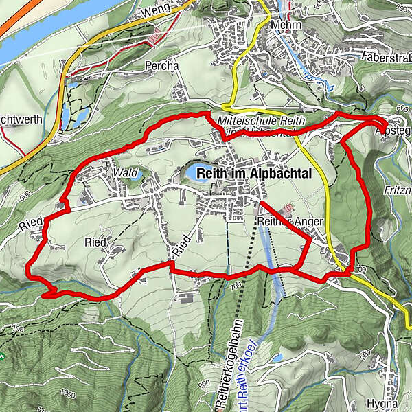
- Reitti
-
Reith im Alpbachtal (638 m)Reither Anger (659 m)0,2 kmHub Kapelle1,8 kmAussichtsplattform Blattform3,6 kmSonnbichl4,7 kmBischofsbrunn5,2 kmAlpsteg (619 m)5,7 kmReither Anger (659 m)7,8 kmReith im Alpbachtal (638 m)8,1 km
- Paras kausi
-
tammihelmimaalishuhtitoukokesäheinäelosyyslokamarrasjoulu
- Korkein kohta
- 700 m
- Kohde
-
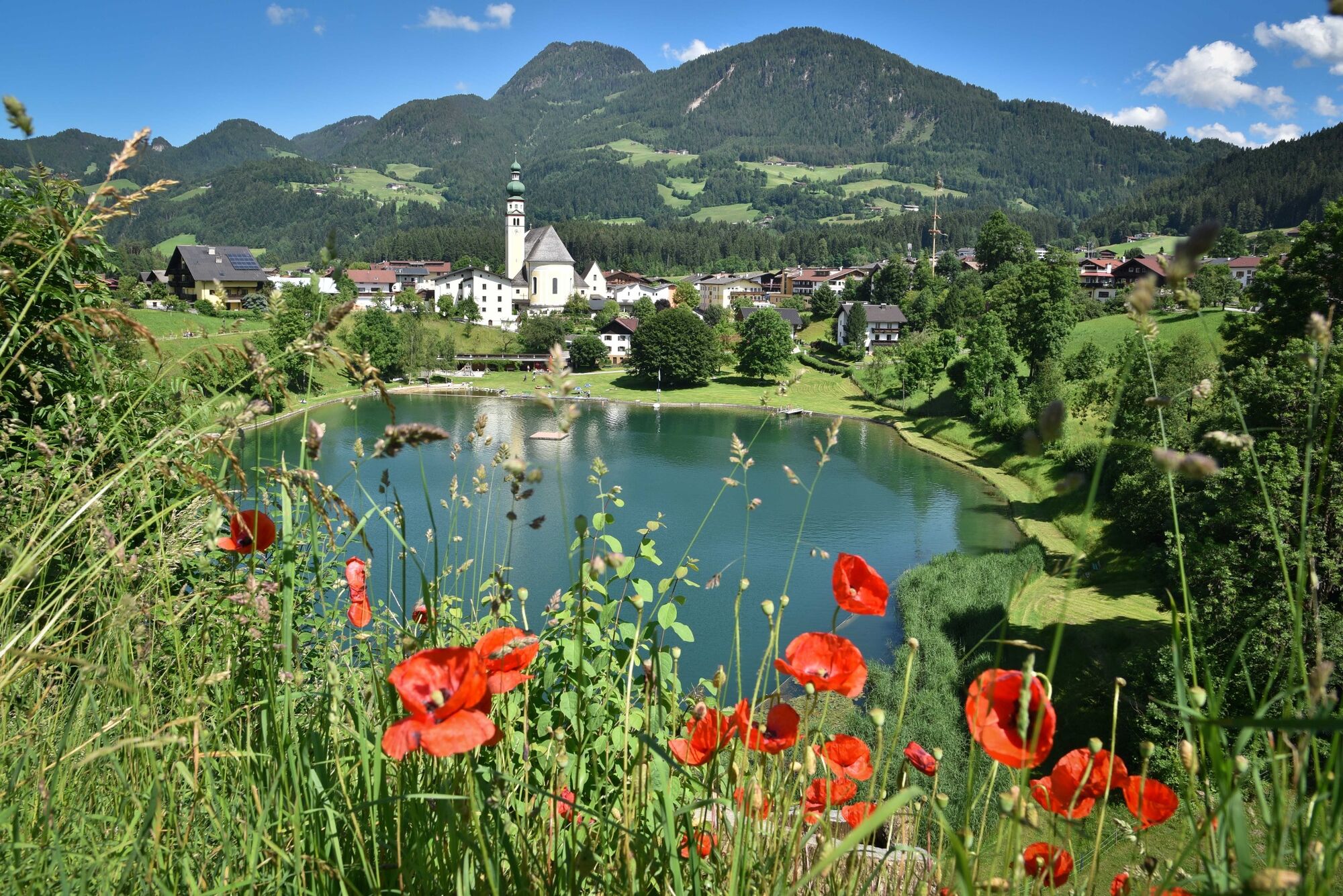
Reitherkogelbahn car park, Reith
- Korkeusprofiili
-


- Kirjoittaja
-
Kiertue Reitherboden Loop Trail - 8 km käyttää outdooractive.com toimitettu.