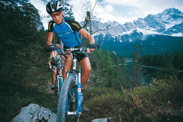


Retkitiedot
6,16km
1.209
- 1.737m
552hm
552hm
01:30h

- Lyhyt kuvaus
-
angenehme Tour mit Variante
- Vaikeus
-
tapa
- Arviointi
-
- Lähtöpiste
-
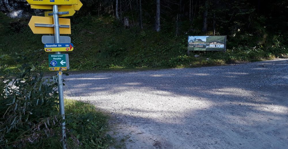
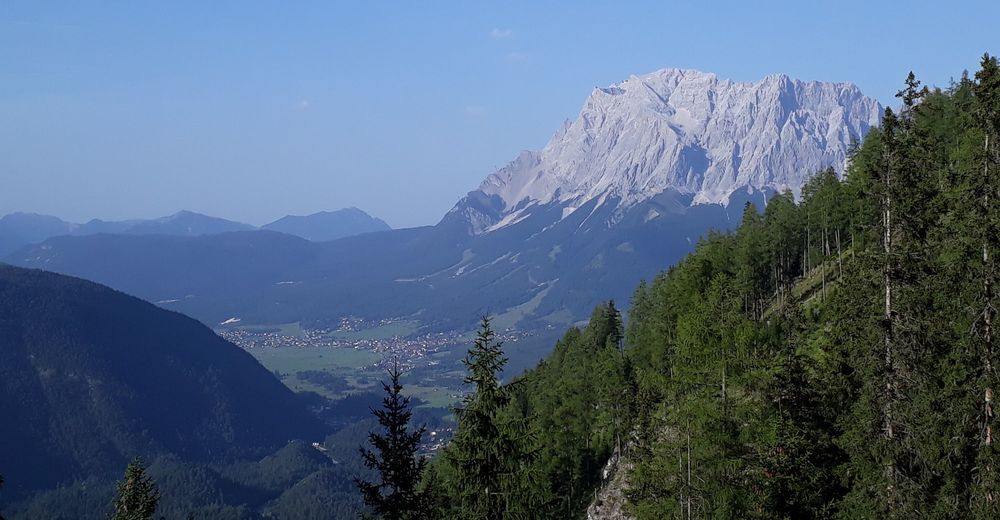
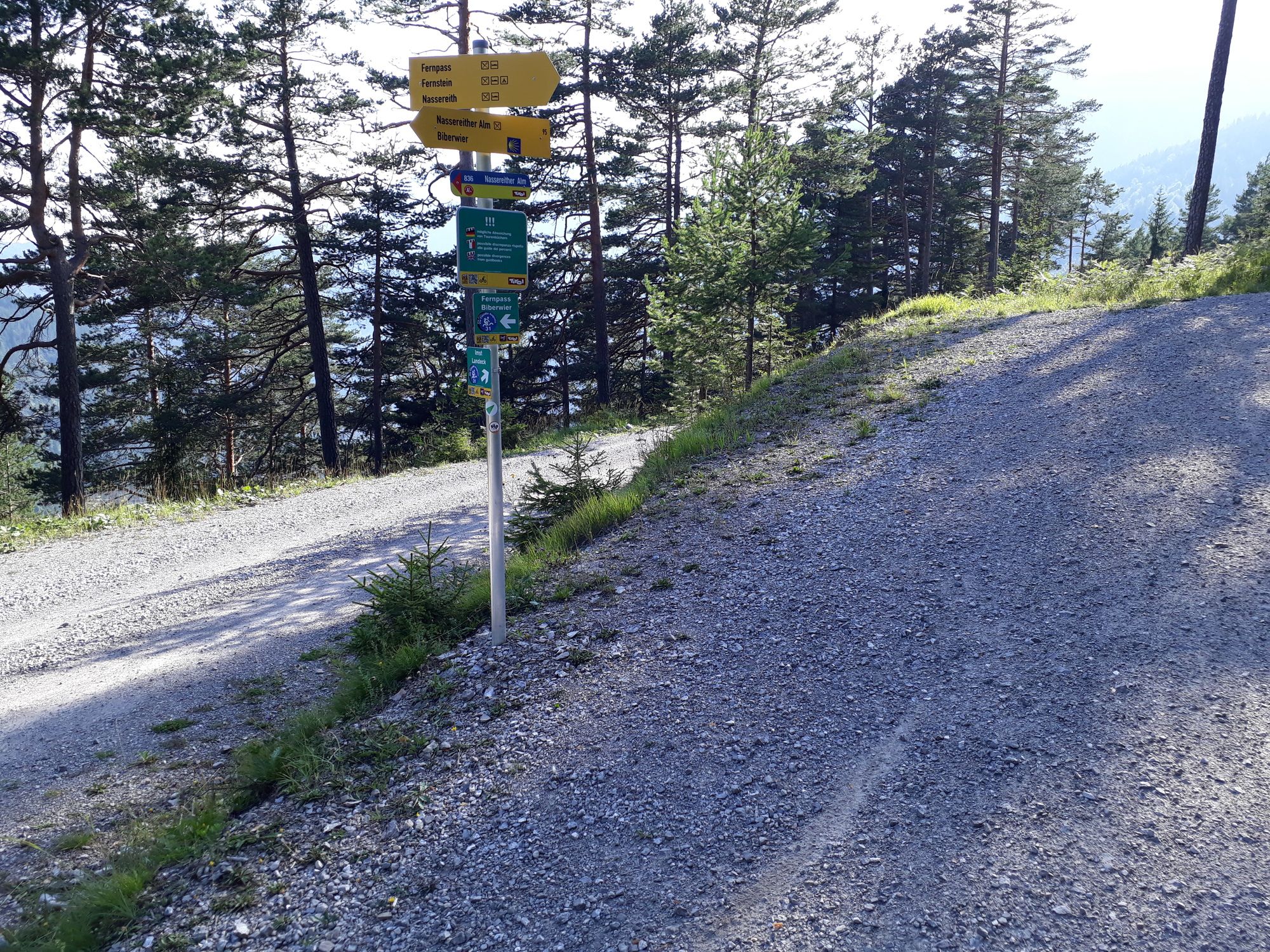
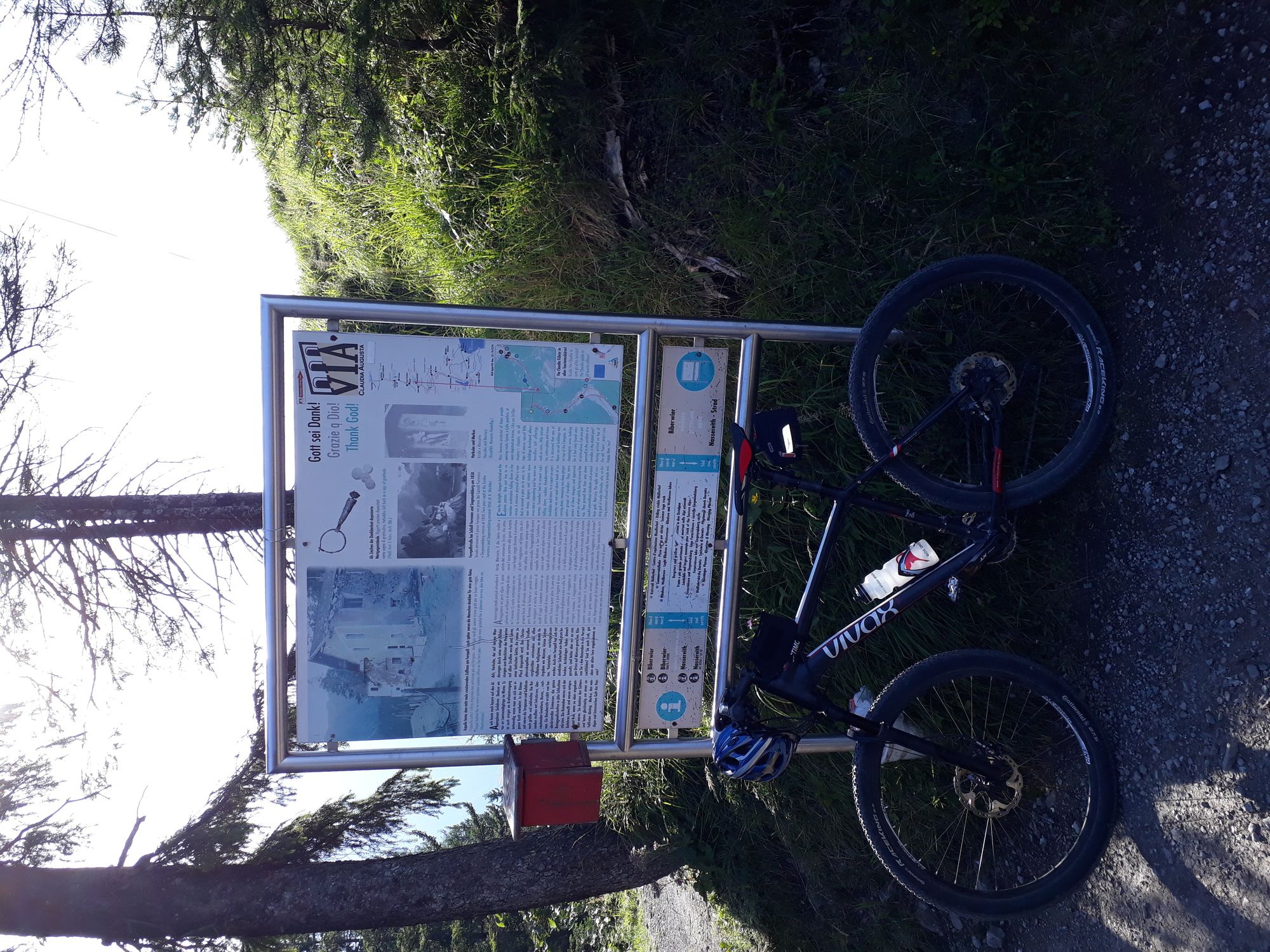
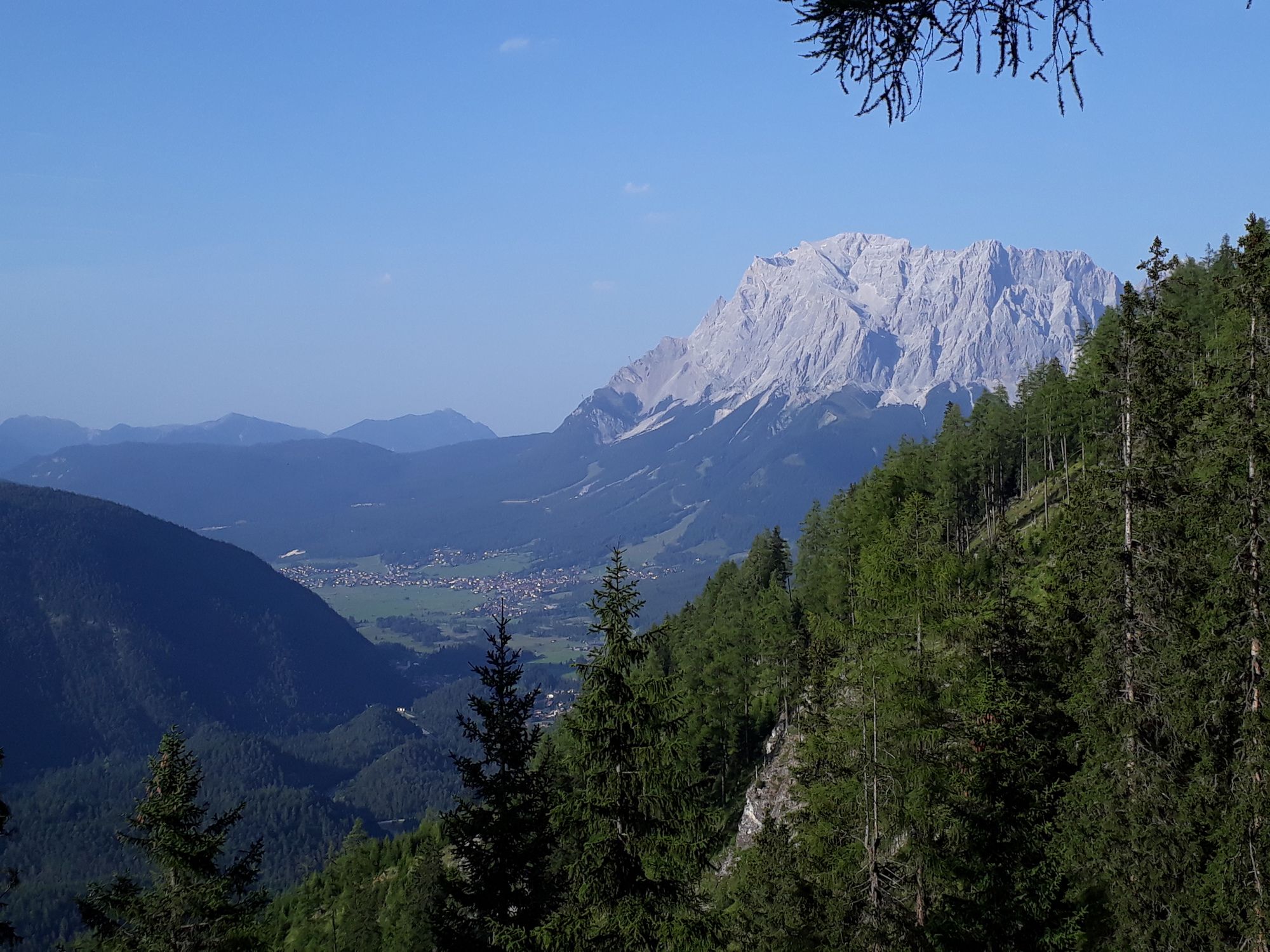
Fernpassstraße vor der Höhe zum GH Zugspitzblick
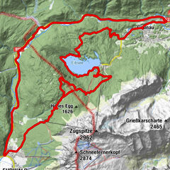
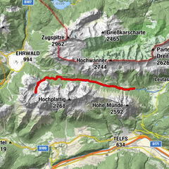
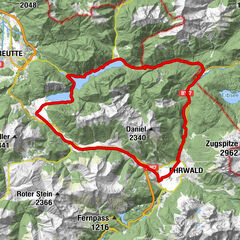
- Reitti
- Paras kausi
-
tammihelmimaalishuhtitoukokesäheinäelosyyslokamarrasjoulu
- Korkein kohta
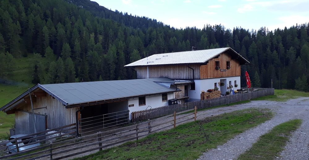
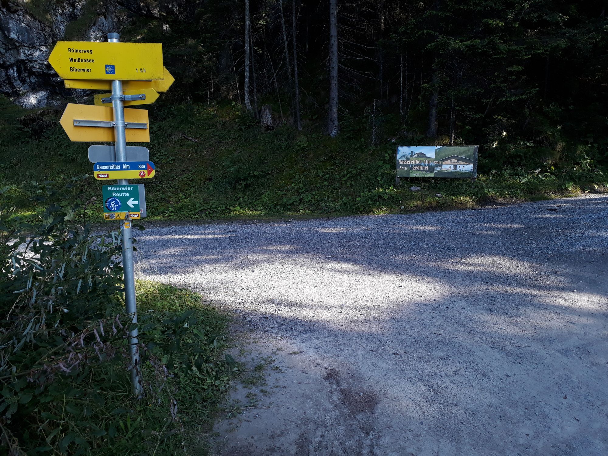
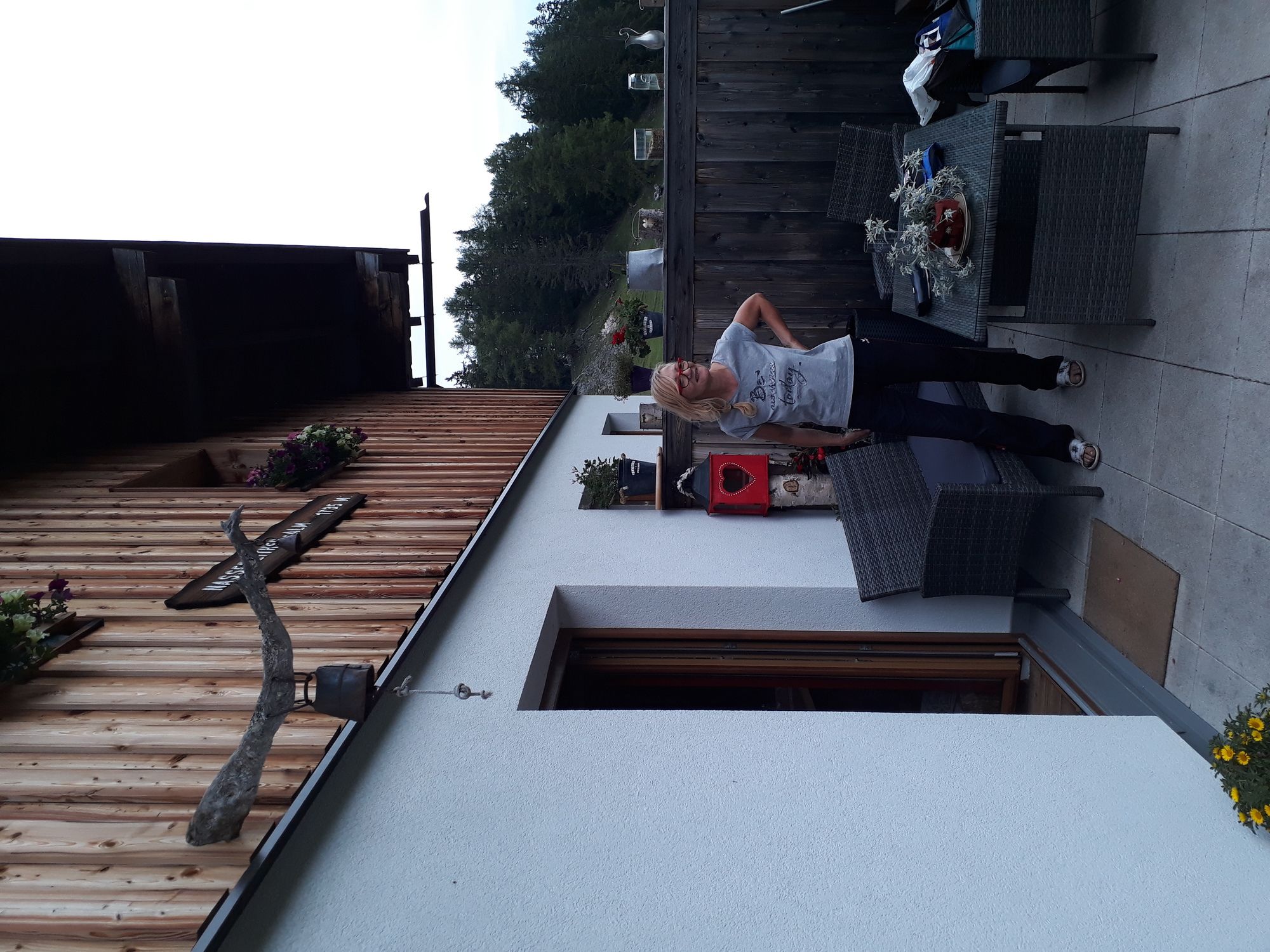
- Nassereither Alm (1.737 m)
- Kohde
-
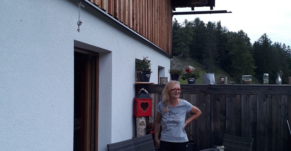
Nassereither Alm
- Lepo/Retriitti
-
Nassereither Alm
- Karttamateriaali
-
freytag&berndt WK 352


- Lähde
- Joerg
GPS Downloads


Ajoreitit
Asfaltti
Sora
(100 %)
Metsä
Vuoripolut
Singletrails
Trial
Liikenne
Lisää retkiä alueilla
-
Zugspitz Arena
301
-
Nassereith
103