Retkitiedot
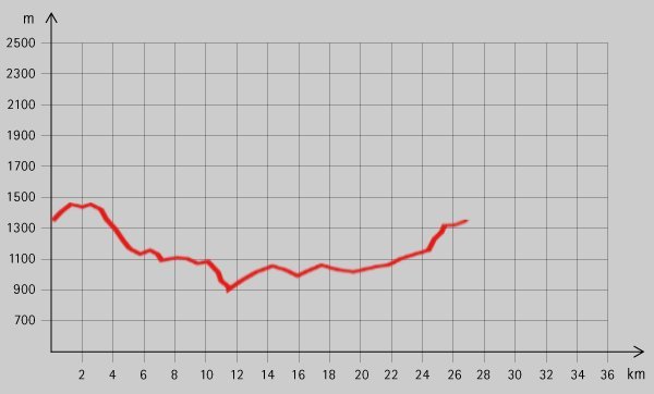
28km
880
- 1.349m
545hm
03:30h
- Lyhyt kuvaus
-
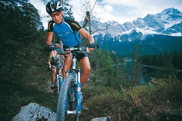
Sportliche Runde mit Bade-Möglichkeiten.
- Vaikeus
-
tapa
- Arviointi
-
- Lähtöpiste
-
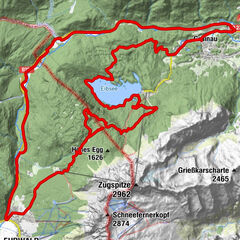
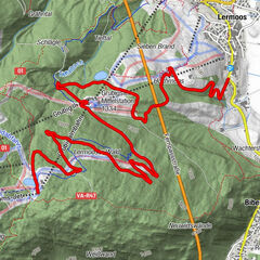
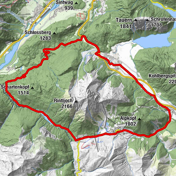
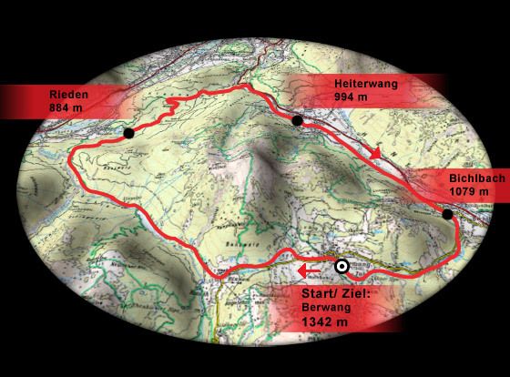
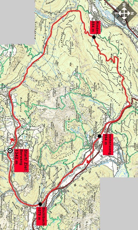
Berwang (1342 m)
- Reitti
-
Kirche BerwangBerwang (1.342 m)Rastkopfbahn1,1 kmSankt-Sebastian Kapelle2,0 kmRinnen2,1 kmHeiterwang (994 m)18,2 kmOberdorf18,3 kmUnterdorf18,8 kmAlmkopf Rastland21,7 kmAlmkopfbahn Talstation21,7 kmZunftkirche St. Josef22,8 kmBichlbach (1.079 m)22,8 kmBerwang (1.342 m)27,0 km
- Paras kausi
-
tammihelmimaalishuhtitoukokesäheinäelosyyslokamarrasjoulu
- Korkein kohta
- 1.349 m
- Lepo/Retriitti
-
Zahlreiche schöne Gasthöfe in den Orten an der Strecke.
- Karttamateriaali
-
maps.zugspitzarena.com
GPS Downloads
Ajoreitit
Asfaltti
Sora
Metsä
Vuoripolut
Singletrails
Trial
Liikenne
Lisää retkiä alueilla
-
Allgäu
188
-
Naturparkregion Reutte
219
-
Heiterwang
78