Retkitiedot
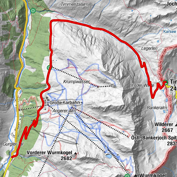
11,13km
1.834
- 2.471m
753hm
05:30h
- Lyhyt kuvaus
-
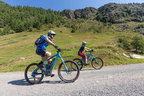
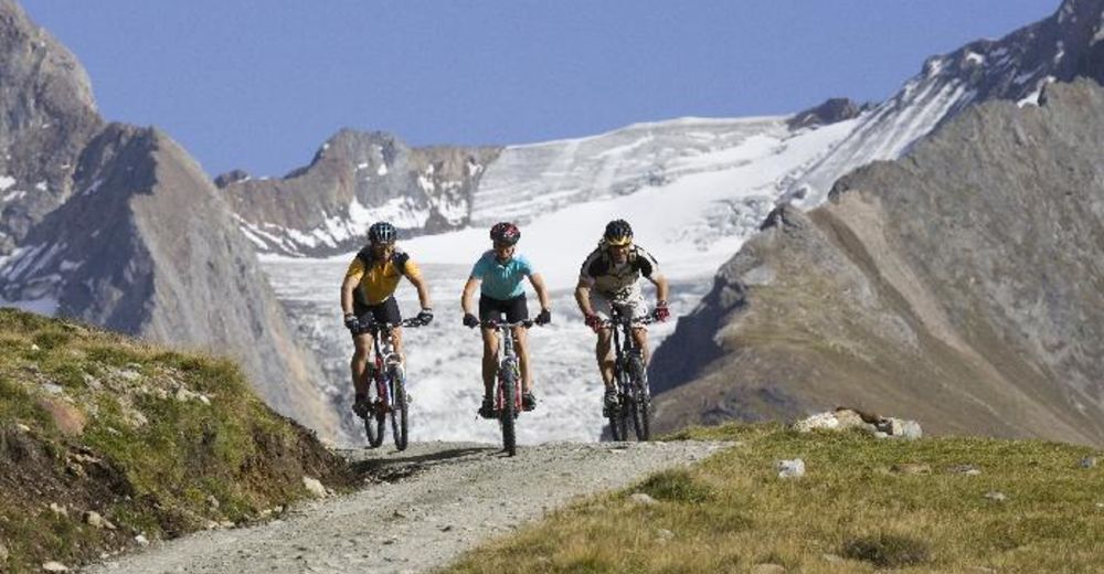
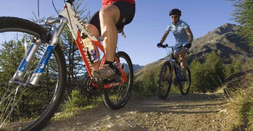
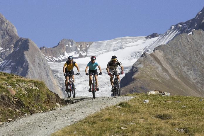
Trail for Mountainbikes through the whole Ötztal Valley
- Vaikeus
-
tapa
- Arviointi
-
- Lähtöpiste
-
Possible from all the villages in the Ötztal valley
- Reitti
-
Hochgurgl (2.150 m)2,9 kmCrosspoint4,1 kmTotenstein8,5 kmRasthaus Timmelsjoch11,0 km
- Paras kausi
-
tammihelmimaalishuhtitoukokesäheinäelosyyslokamarrasjoulu
- Korkein kohta
- 2.471 m
- Lepo/Retriitti
-
lots of Restaurants in the valley
- Karttamateriaali
-
free Bike Map available in all Tourist Offices in the Ötztal valley

GPS Downloads


Ajoreitit
Asfaltti
Sora
Metsä
Vuoripolut
Singletrails
Trial
Liikenne
Lisää retkiä alueilla
-
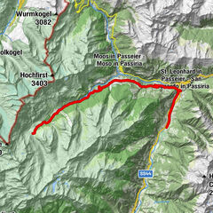
Meraner Land
155
-
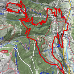
Ötztal
154
-
Obergurgl - Hochgurgl
55