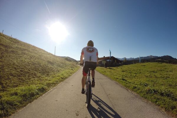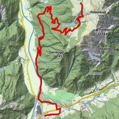

Retkitiedot
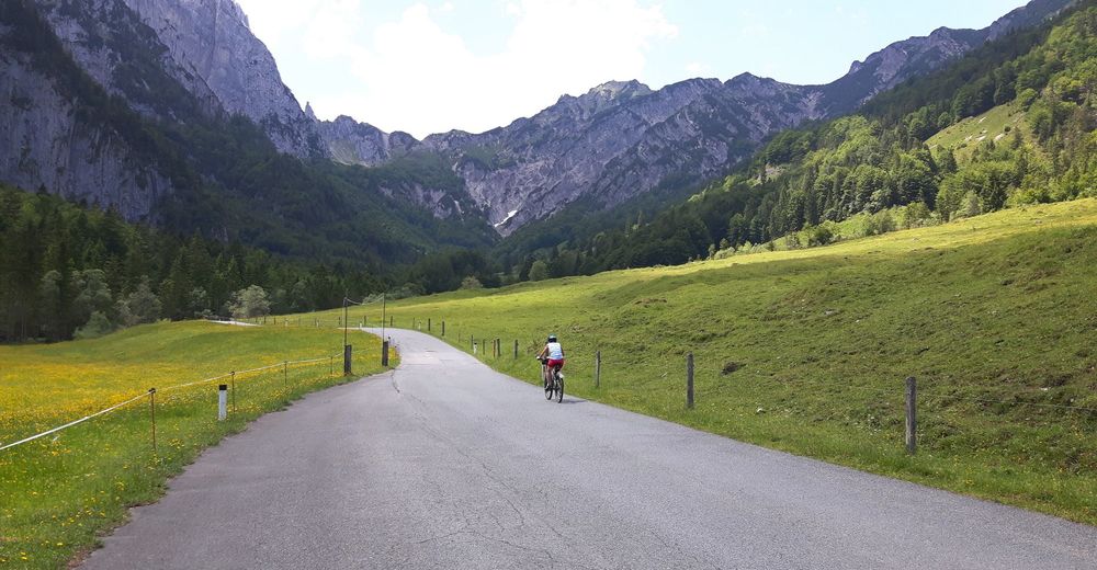
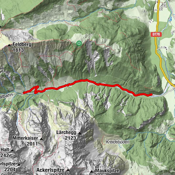
4,46km
738
- 980m
210hm
210hm
00:38h
- Lyhyt kuvaus
-
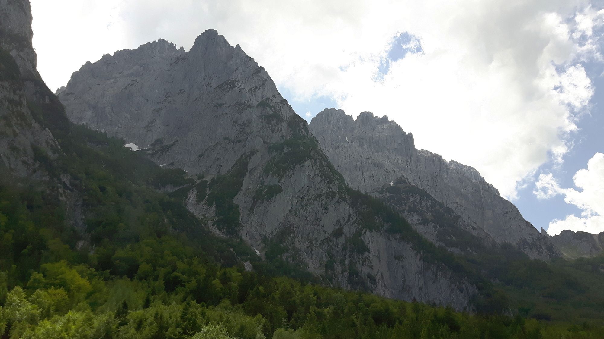
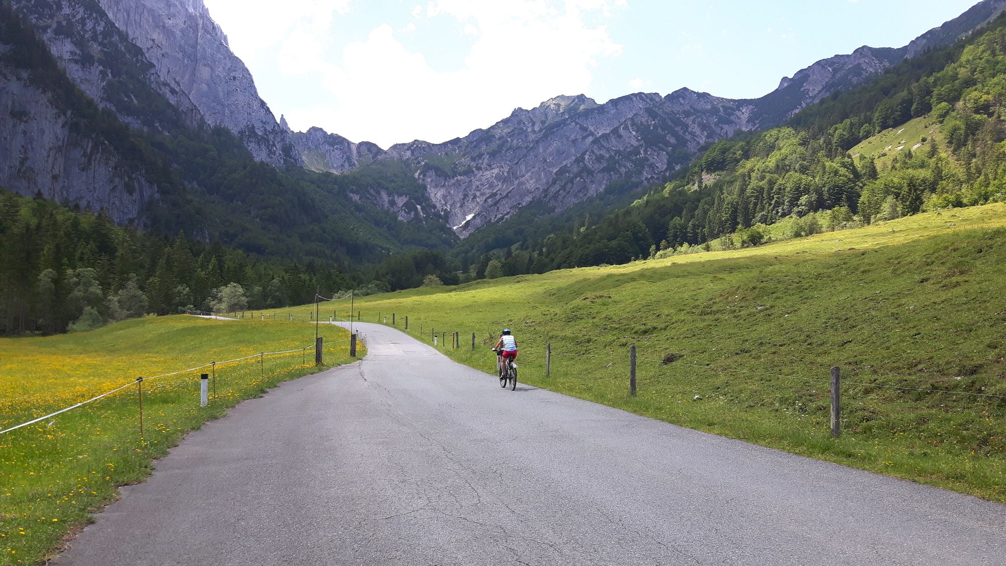
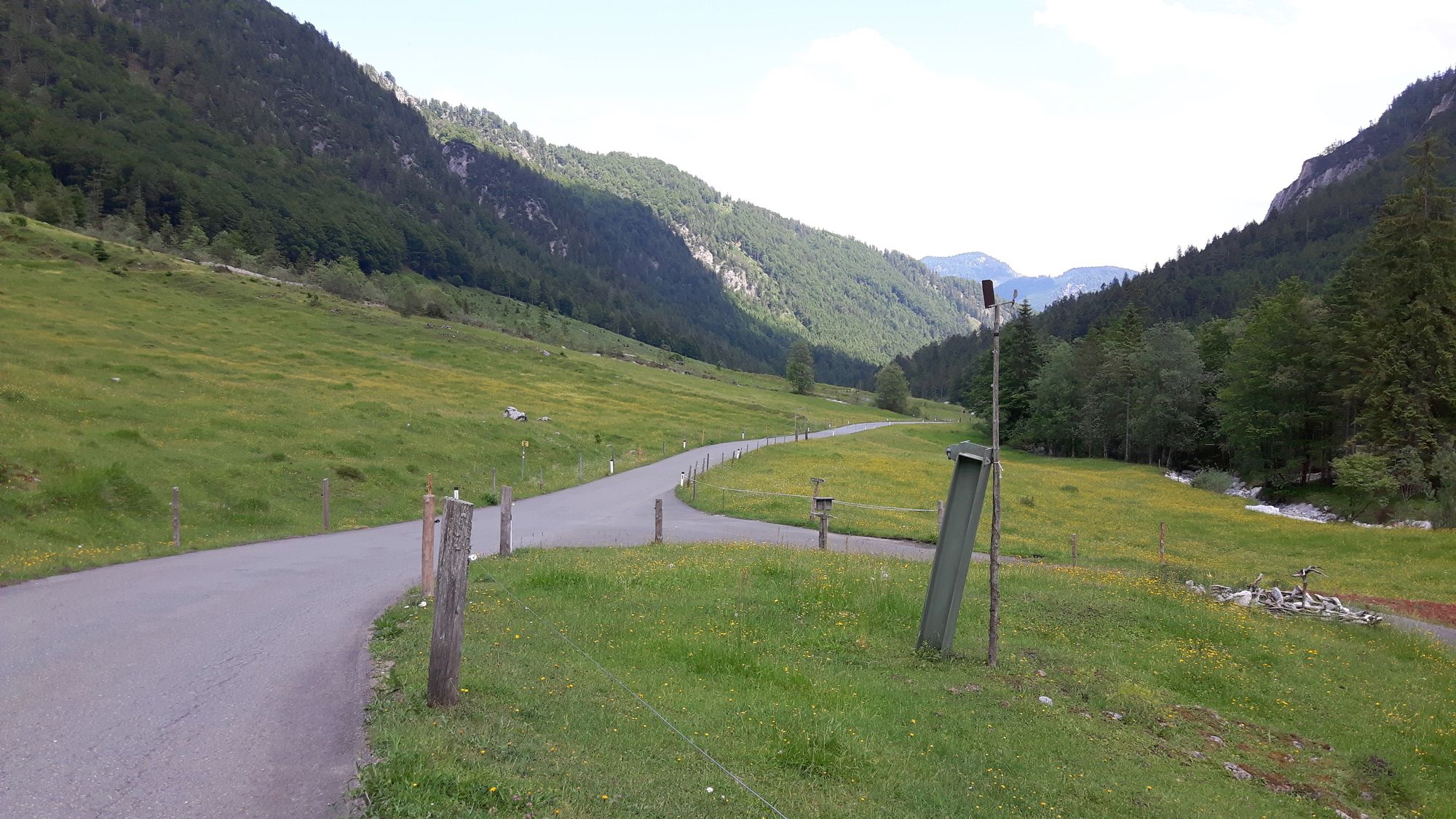
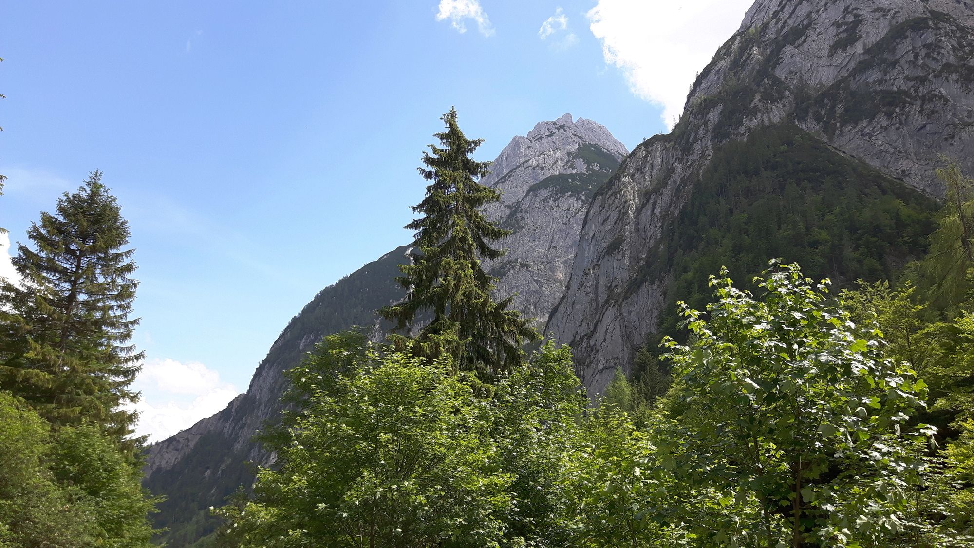
kurze Tour zum Ausgangspunkt berühmter Kaiseranstiege
- Vaikeus
-
helppo
- Arviointi
-
- Lähtöpiste
-
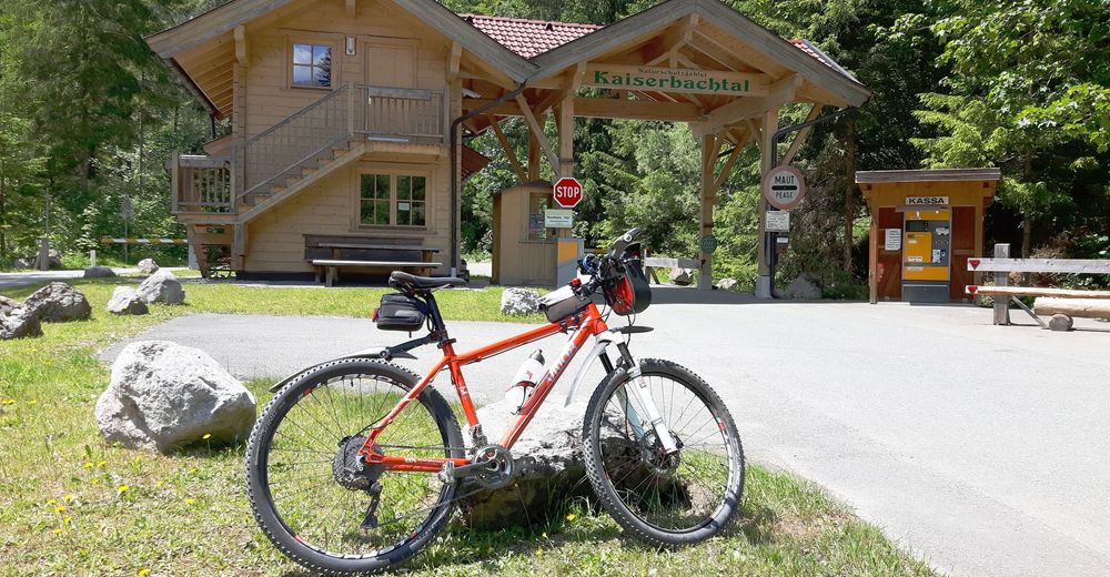
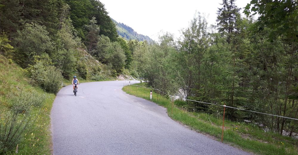
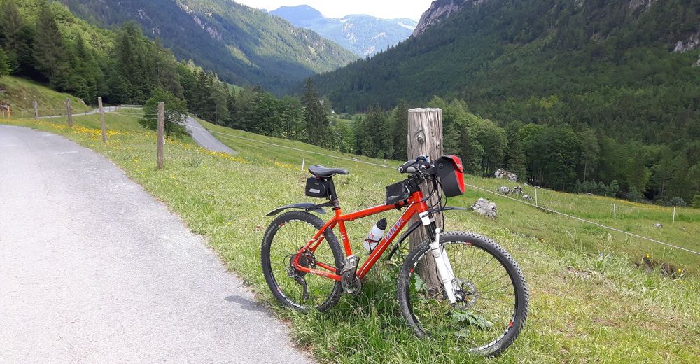
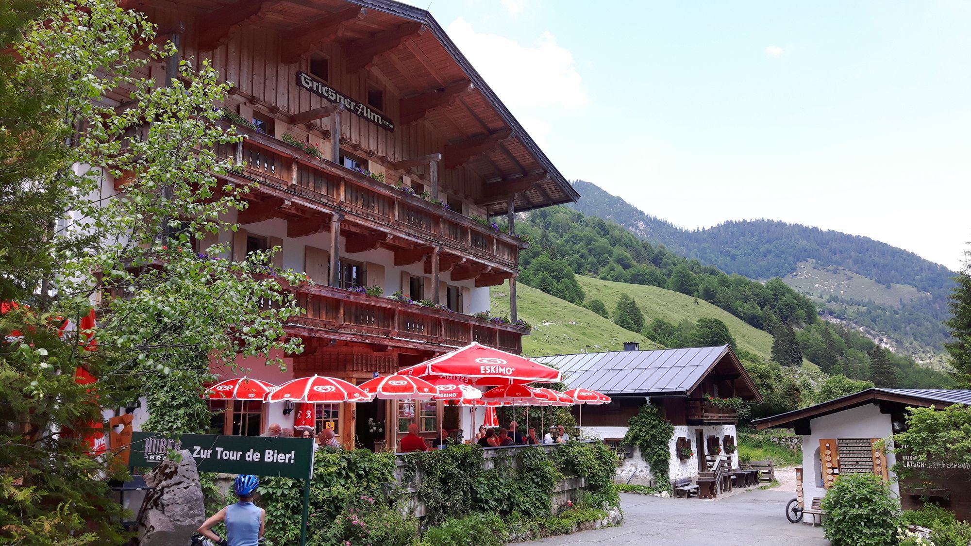
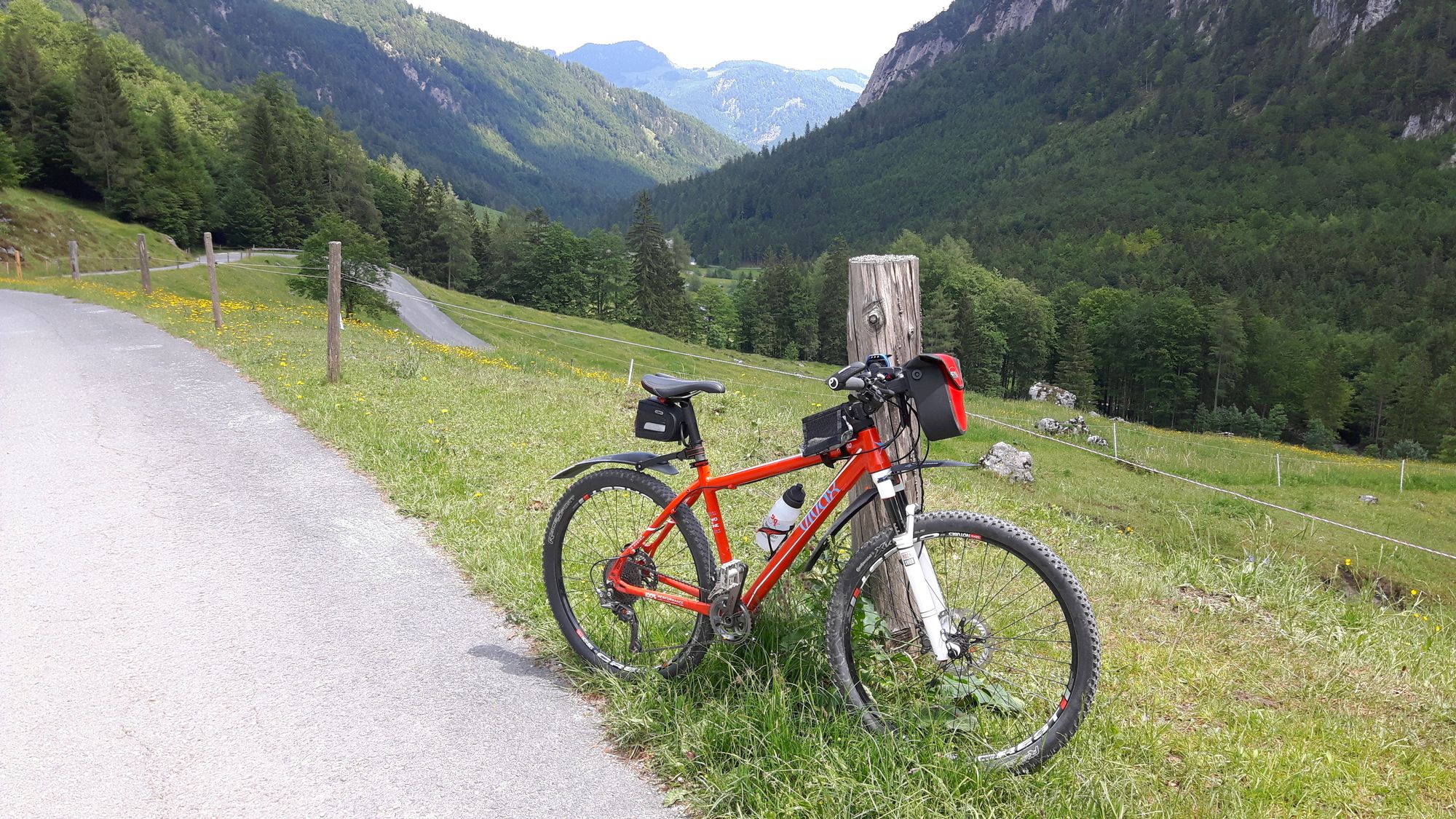
Griesenau am Parkplatz der Mautstation
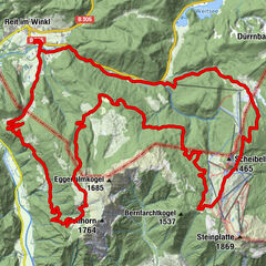
- Reitti
-
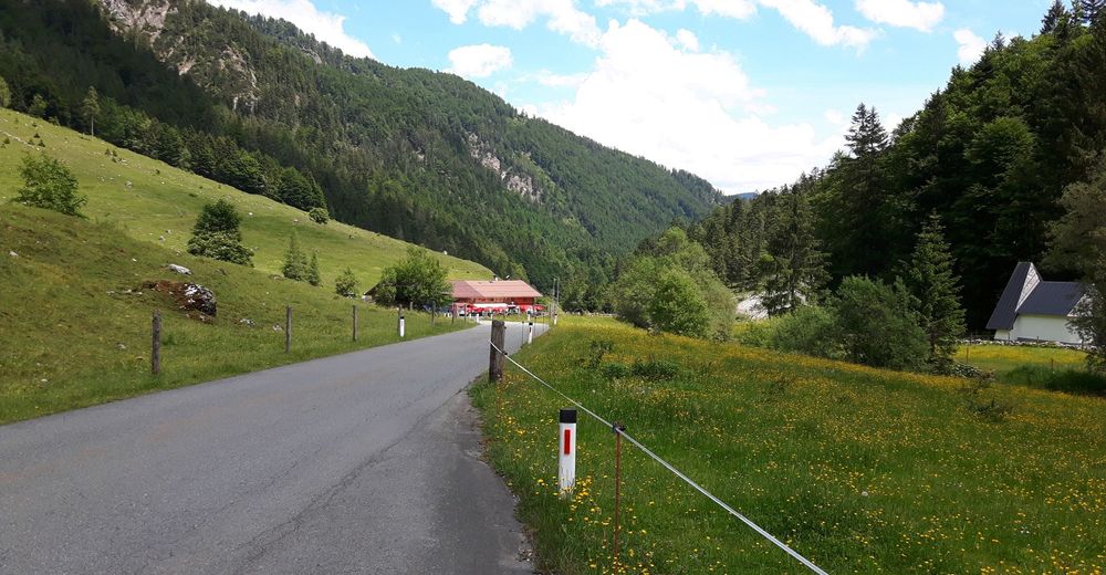
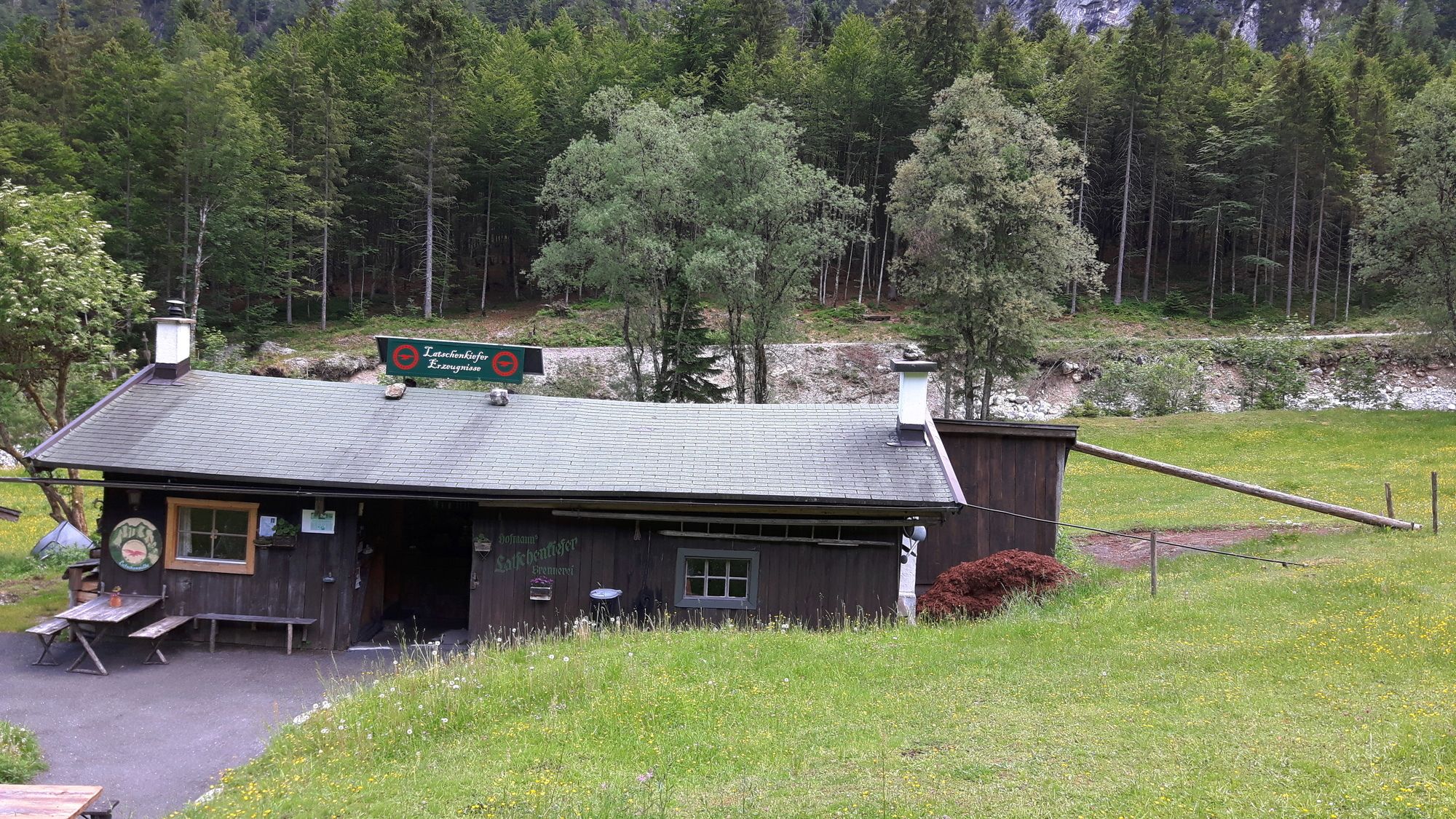
Fischbachalm (840 m)2,6 kmBergwacht-Gedenkkapelle2,8 kmKaiserbachtal2,8 kmGriesener Alm4,3 kmGriesner Alm (1.024 m)4,4 km
- Korkein kohta
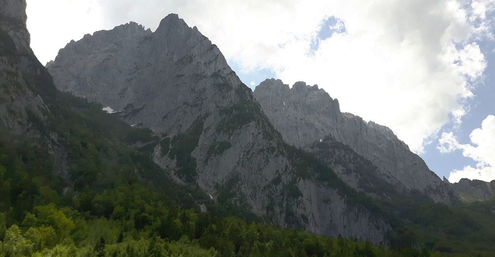
- 980 m
- Kohde
-
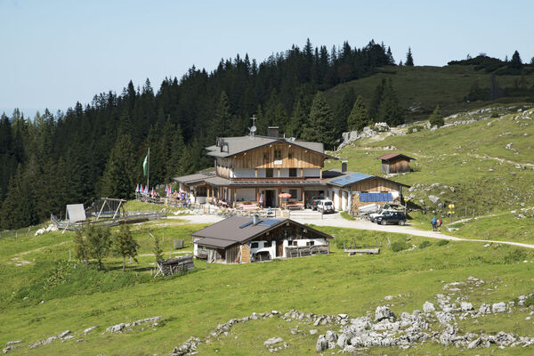
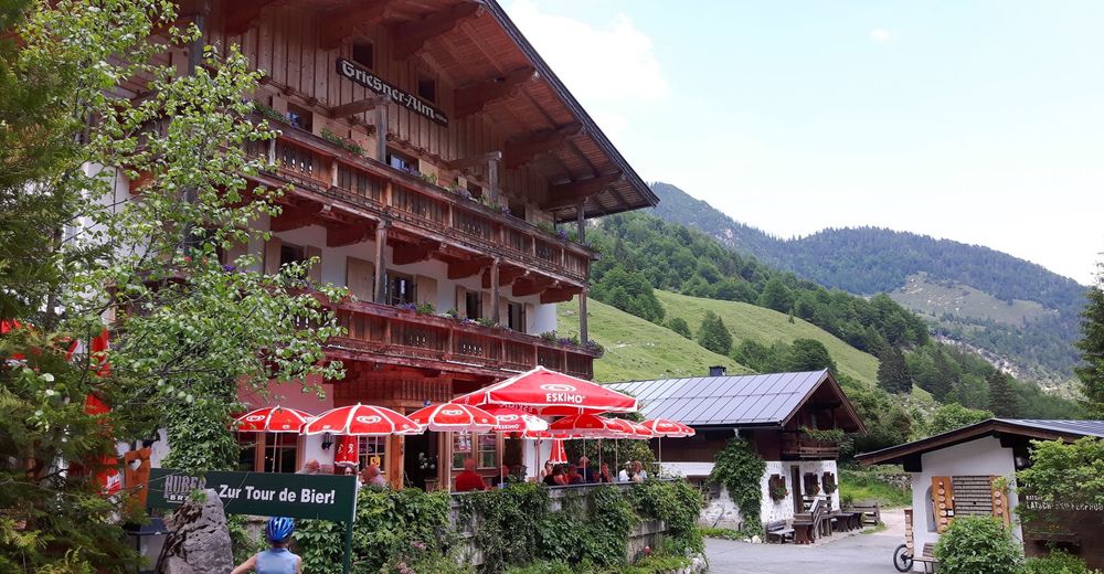
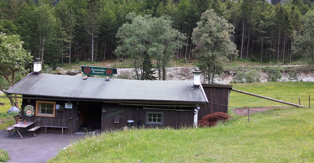
Griesner-Alm
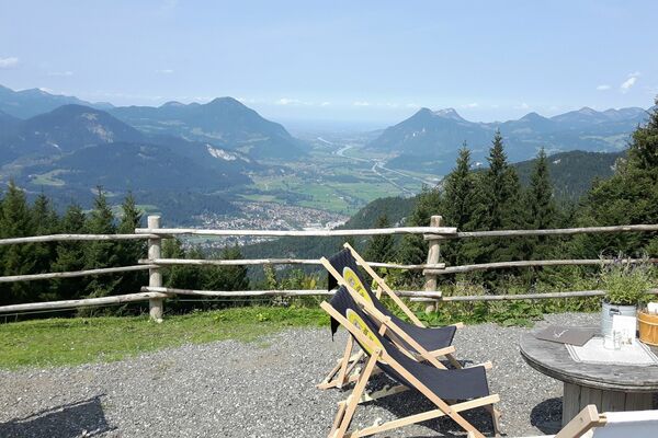
- Lepo/Retriitti
-
Griesner-Alm


- Lähde
- Peter Unger
GPS Downloads


Ajoreitit
Asfaltti
(100)
Sora
Metsä
Vuoripolut
Singletrails
Trial
Liikenne
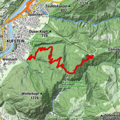
Lisää retkiä alueilla
-
Kaiserwinkl
294
-
Schwendt
75