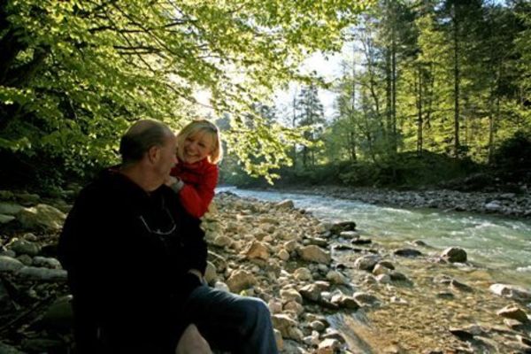
Picasa

Picasa

Picasa

Picasa

Picasa

Picasa

Picasa

Picasa
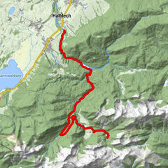
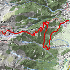
Retkitiedot
21,7km
1.107
- 2.068m
1.000hm
1.000hm
03:20h

- Lyhyt kuvaus
-
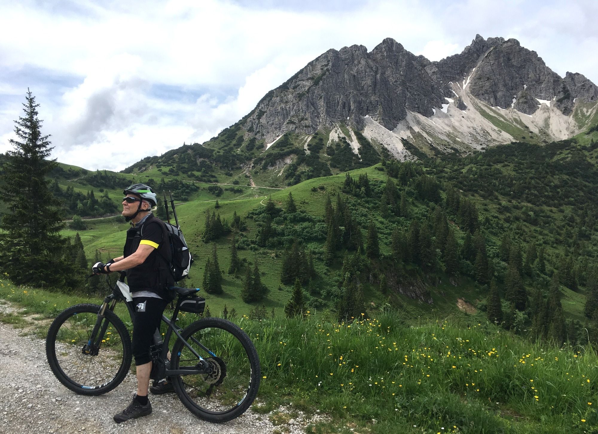
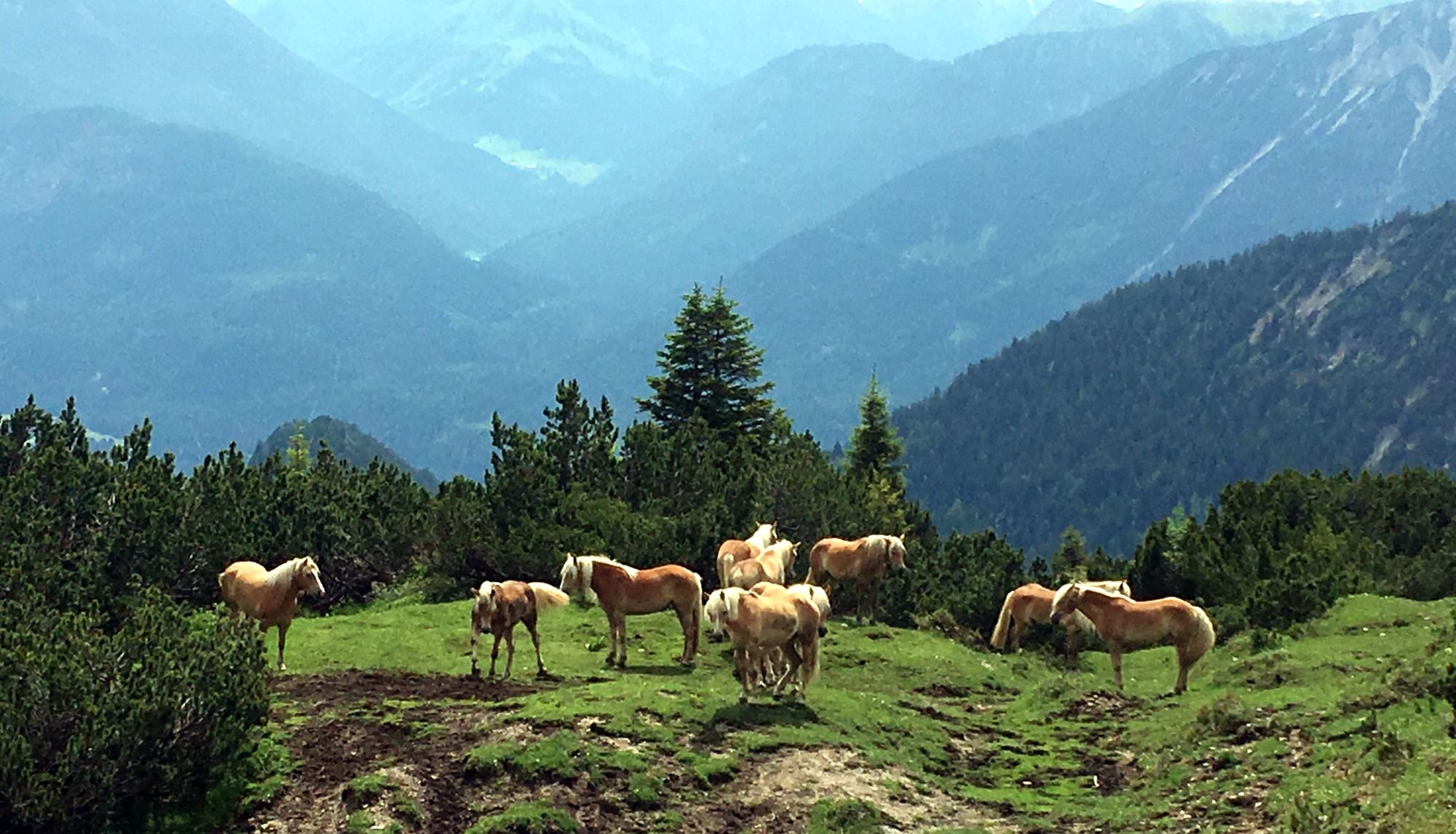
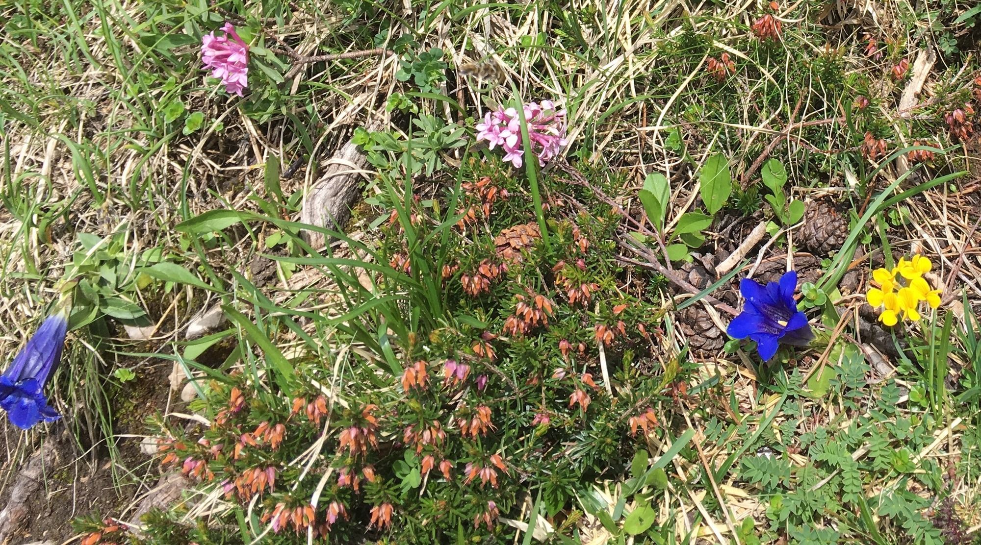
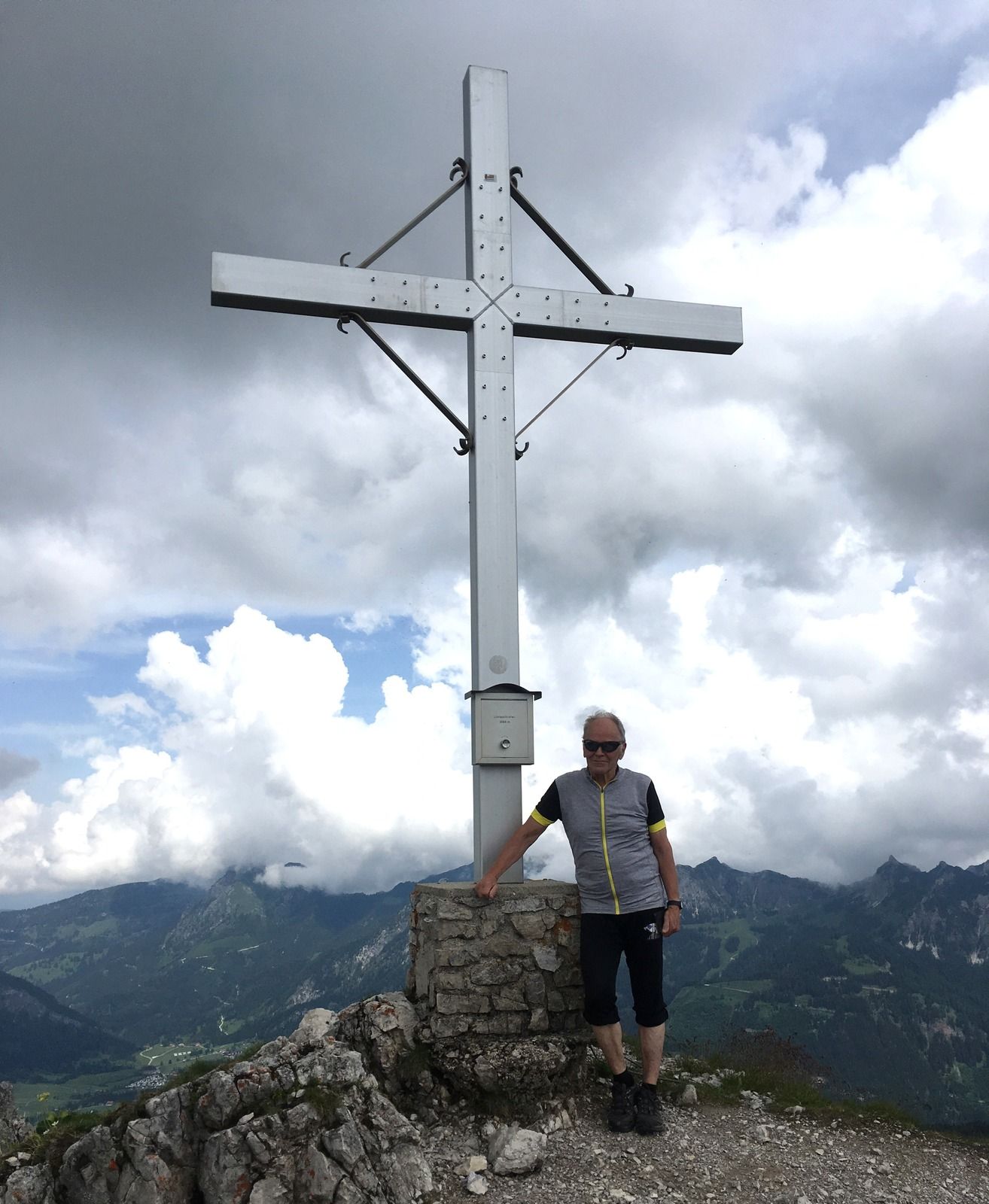
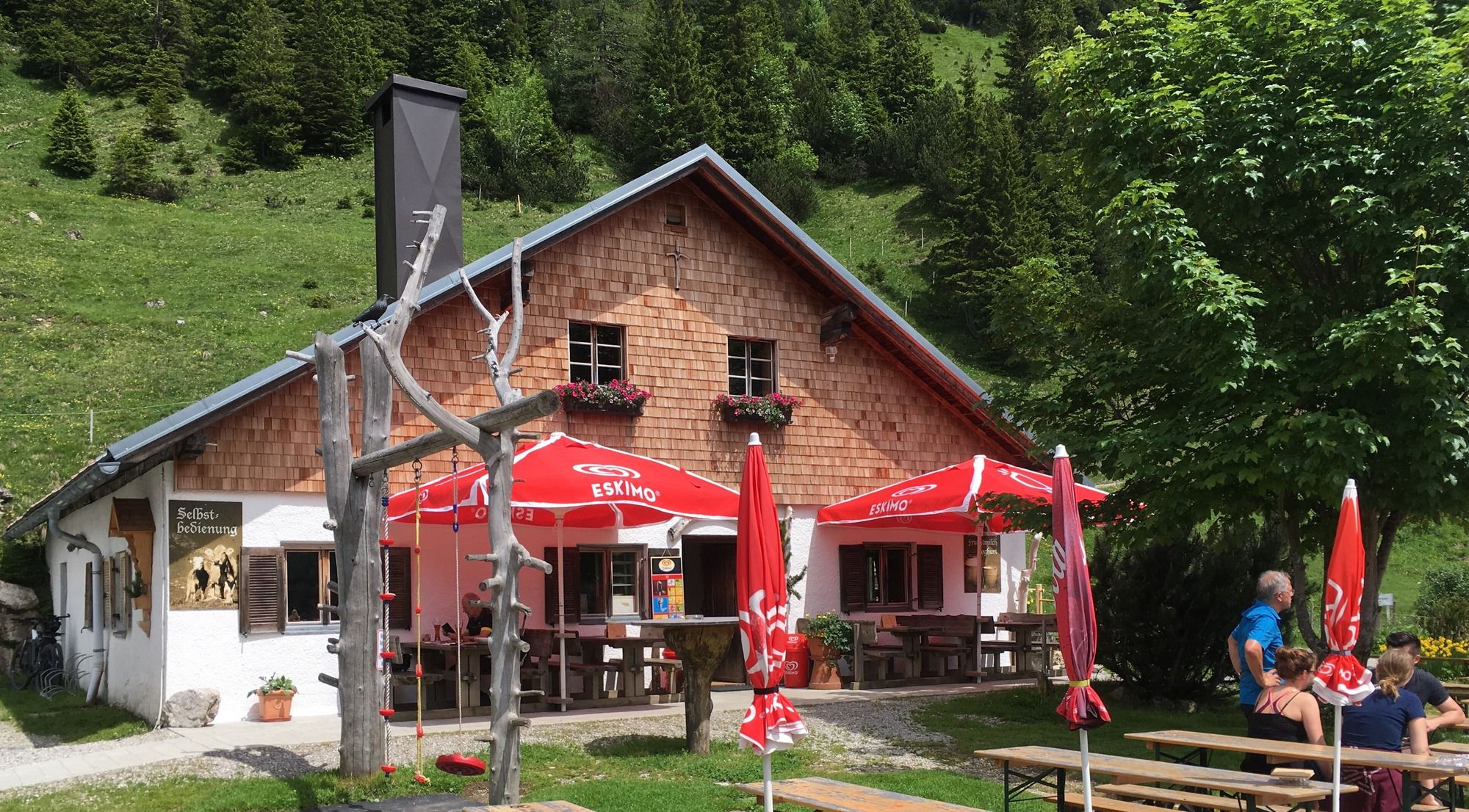
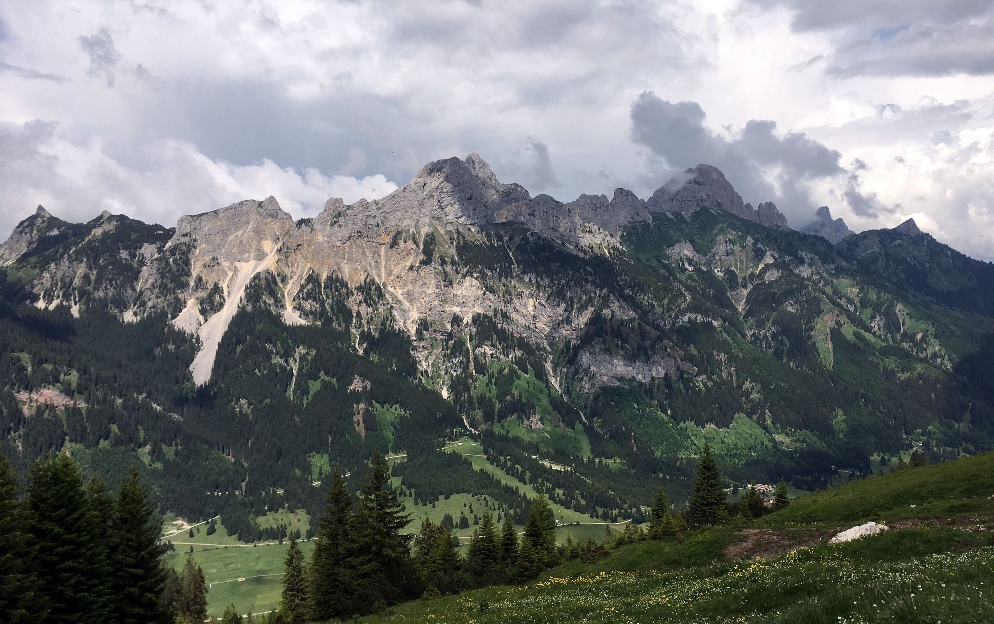
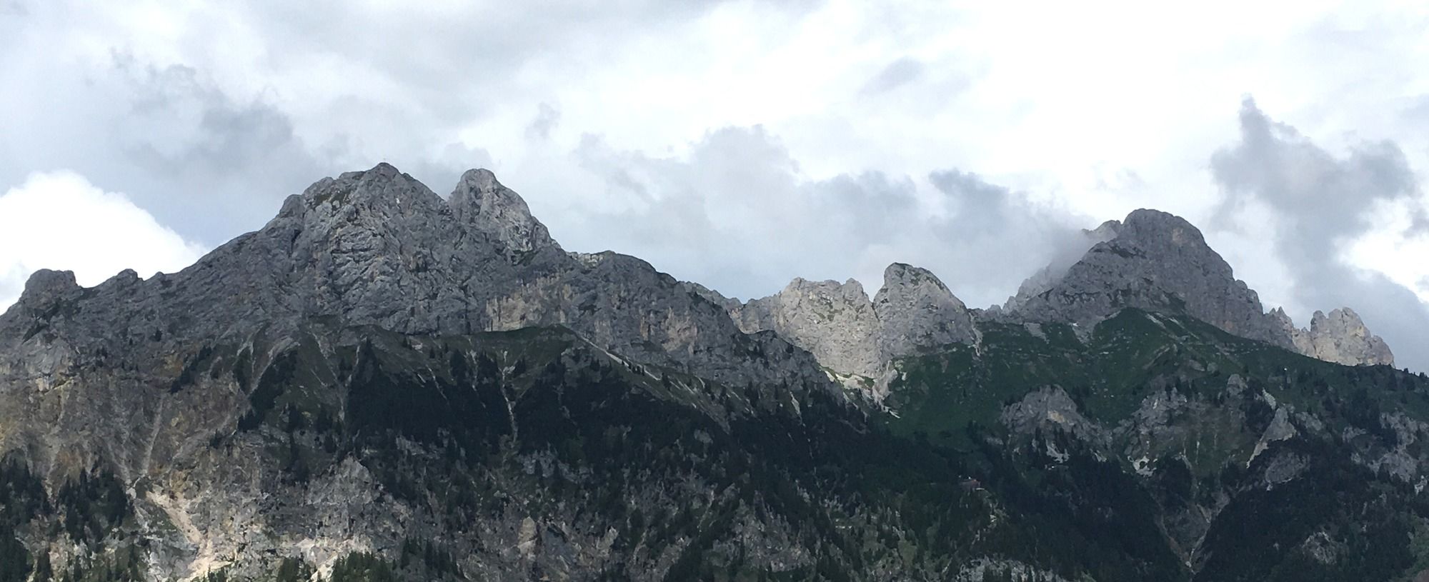
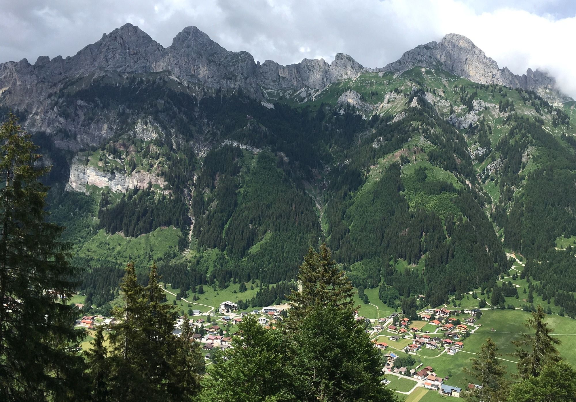
Litnisschrofen von Nesselwängle über Gräner Ödenalpe
- Vaikeus
-
tapa
- Arviointi
-
- Reitti
-
Nesselwängle (1.136 m)1,4 kmSchmitte2,2 kmKrinnenalpe5,9 kmEdenalpe Nesselwängle7,5 kmLitnisschrofen (2.069 m)10,2 kmEdenalpe Nesselwängle12,8 kmKrinnenalpe14,5 kmKapelle19,7 kmRauth20,1 kmKapelle20,2 kmJausenstation Klein Meran20,2 kmMariahilf Kapelle21,4 km
- Paras kausi
-
tammihelmimaalishuhtitoukokesäheinäelosyyslokamarrasjoulu
- Korkein kohta
- Litnisschrofen (2.068 m)
GPS Downloads


Ajoreitit
Asfaltti
Sora
Metsä
Vuoripolut
Singletrails
Trial
Liikenne
Lisää retkiä alueilla
-
Allgäu
188
-
Tannheimer Tal
155
-
Nesselwängle
85