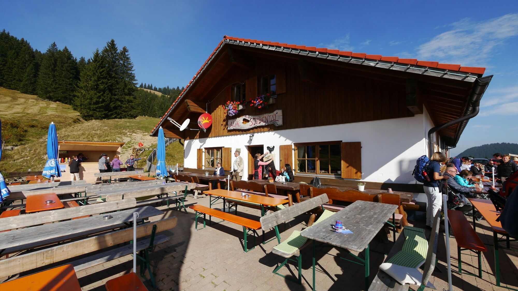
© Outdooractive Premium - Hartmut Wimmer

© Tannheimer Tal - kUNO

© Tannheimer Tal - Michael Keller

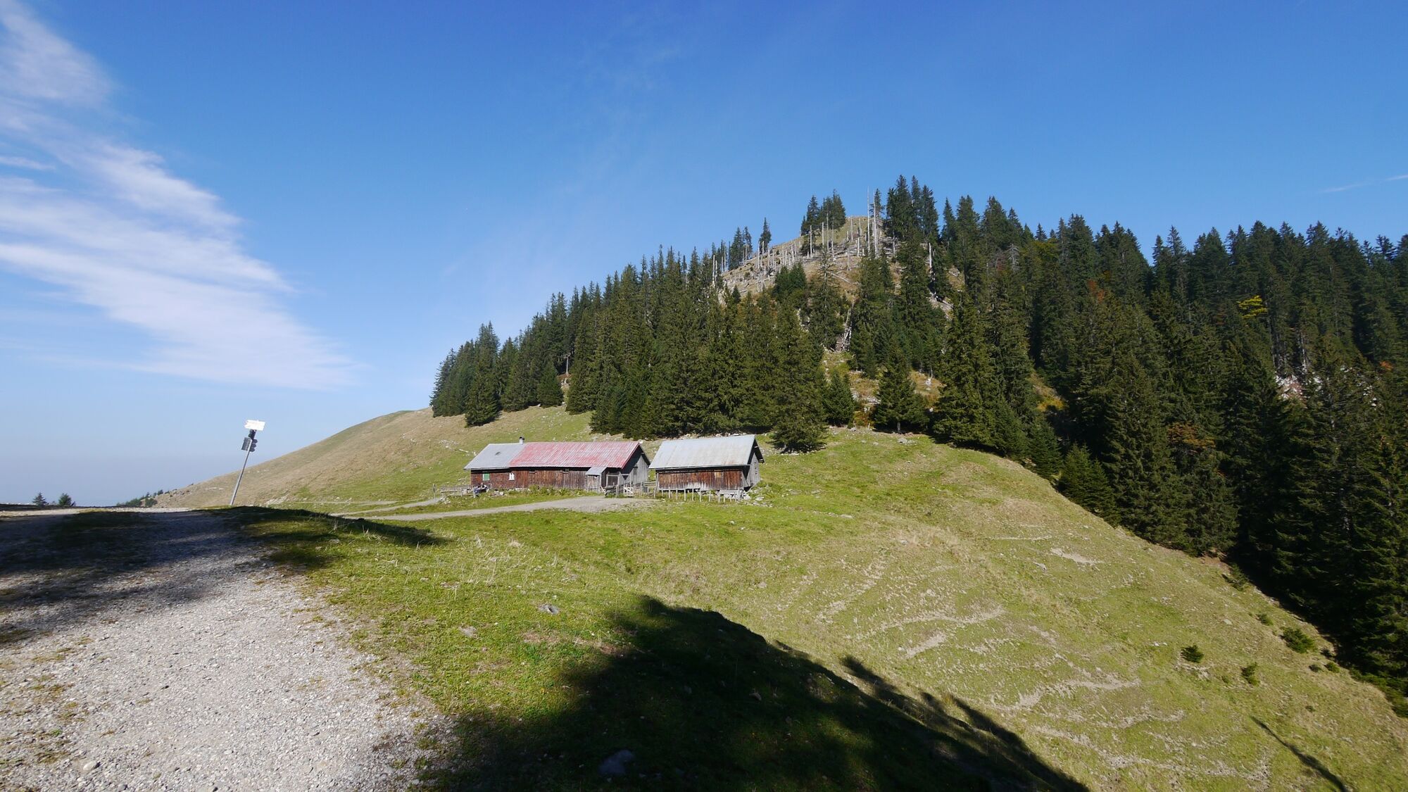
© Outdooractive Redaktion - Hartmut Wimmer

© Outdooractive Redaktion - Hartmut Wimmer


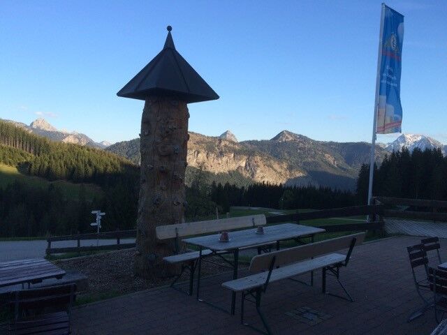
© Outdooractive Premium - Hartmut Wimmer

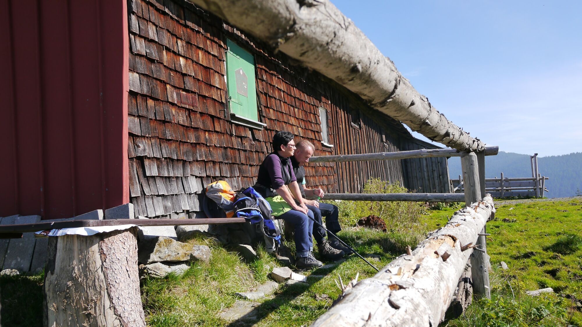
© Outdooractive Premium - Hartmut Wimmer

© Ferienregion Tannheimer Tal

- Lyhyt kuvaus
-
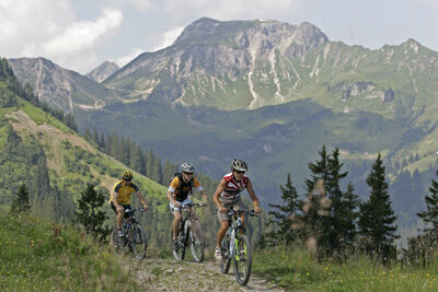
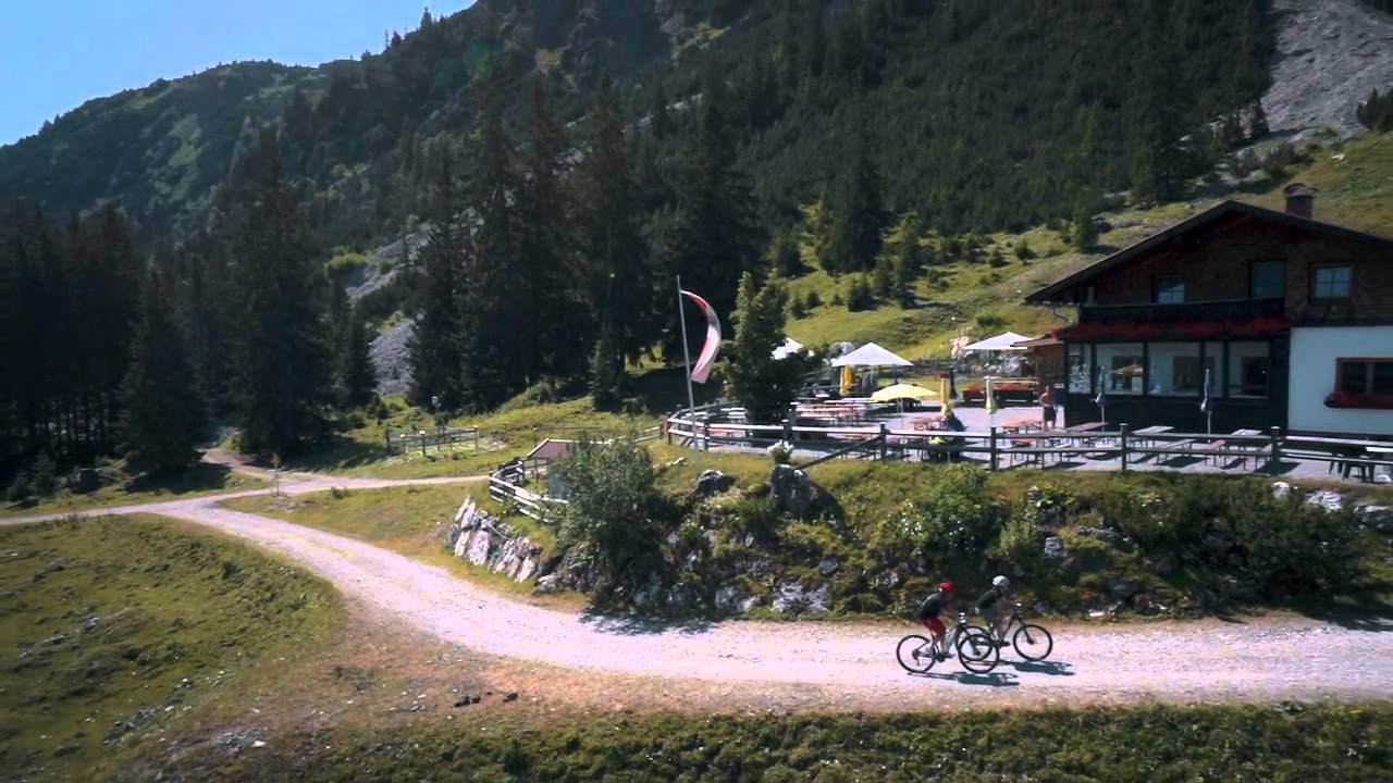
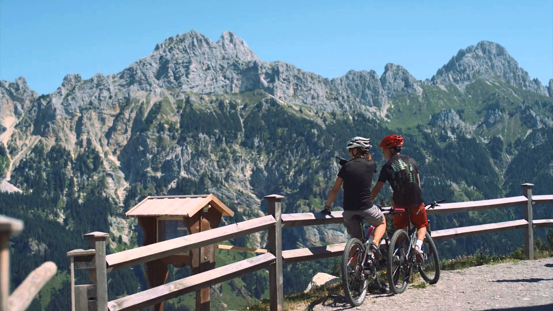
Exciting MTB tour in the border area between Austria and Germany.
- Vaikeus
-
tapa
- Arviointi
-
- Reitti
-
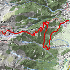
Jungholz (1.054 m)0,1 kmPfarrkirche Mariä Namen0,1 kmLangenschwand0,7 kmWaldhorn0,8 kmZu den Aposteln Peter und Paul0,8 kmKamelstueble (1.054 m)1,0 kmAlpe Stubental (1.284 m)2,9 kmAlpe Obere Reuterwanne4,2 km
- Paras kausi
-
tammihelmimaalishuhtitoukokesäheinäelosyyslokamarrasjoulu
- Korkein kohta
- 1.390 m
- Kohde
-
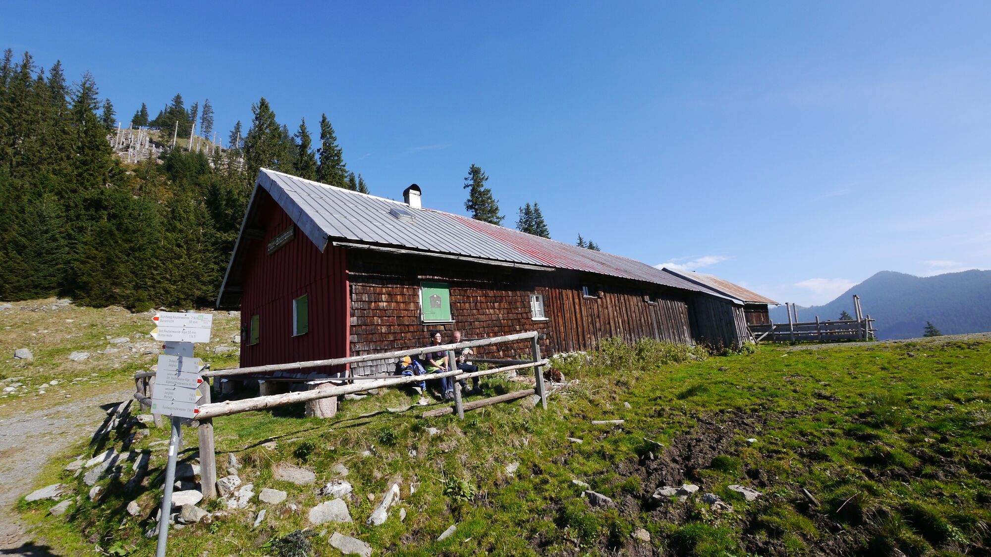
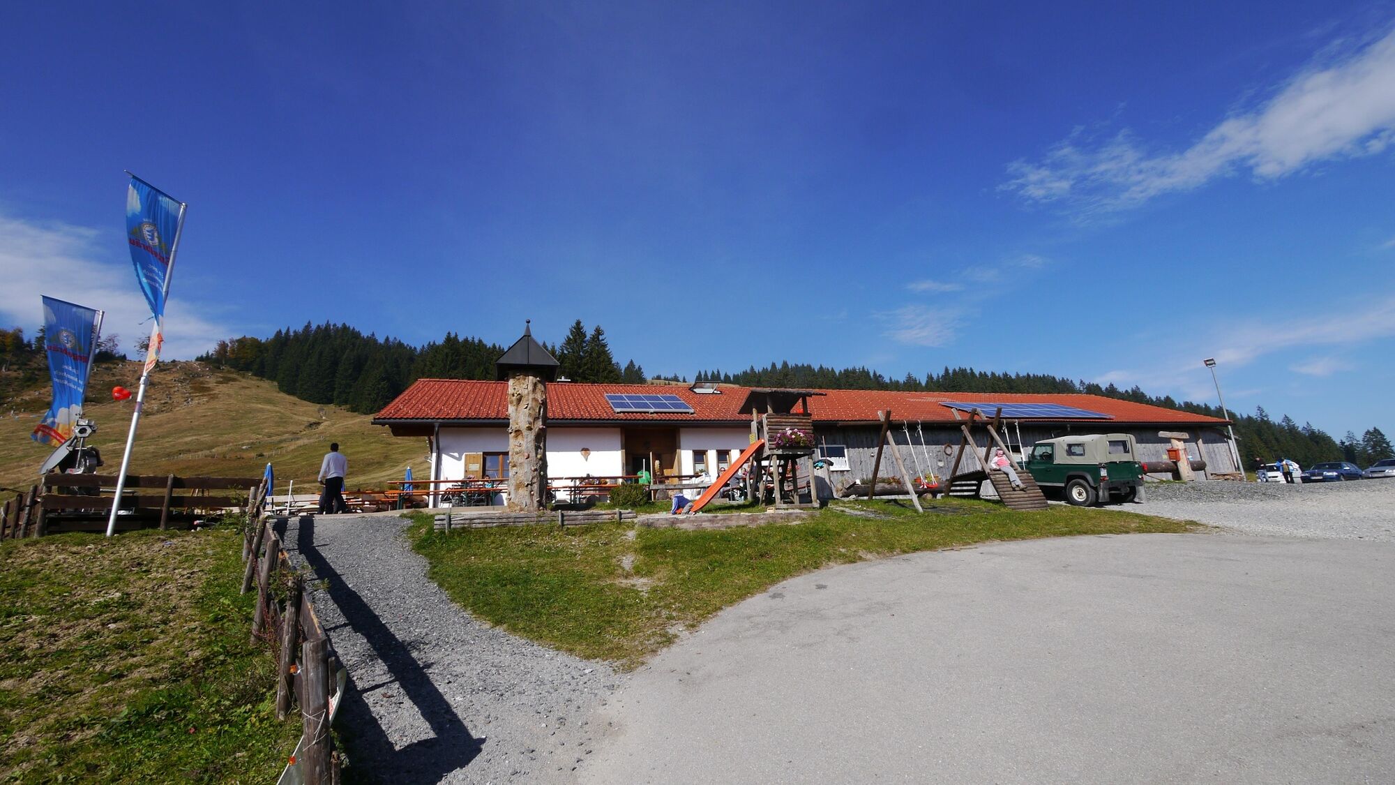
Lift parking place in Jungholz
- Korkeusprofiili
-


- Kirjoittaja
-
Kiertue Obere Alpe Reuterwanne käyttää outdooractive.com toimitettu.
GPS Downloads


Yleistä tietoa
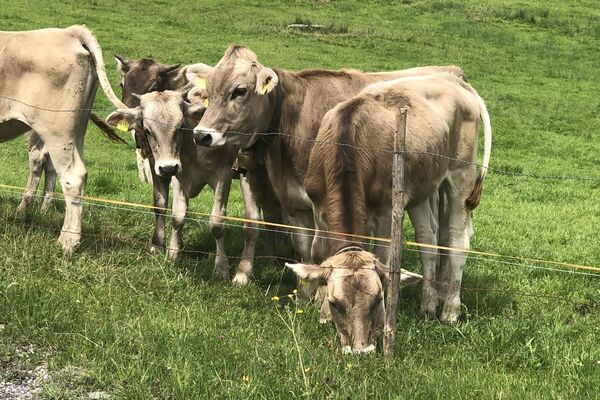
Virvokepysäkki
Flora
Fauna
Lupaava
Lisää retkiä alueilla
-
Allgäu
191
-
Tannheimer Tal
159
-
Jungholz
49