Day 1 - Alpbachtal Seenland Mountain Bike Loop - moderate

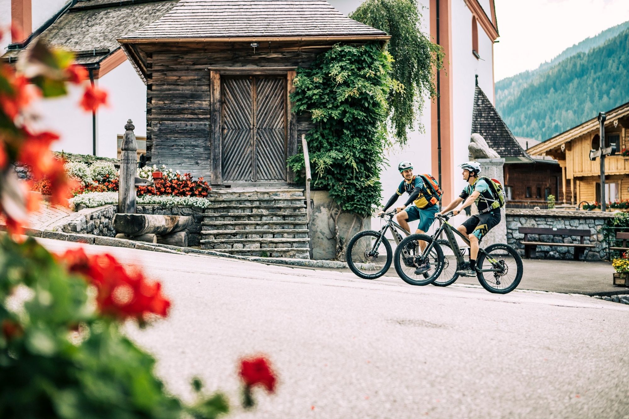
Mountainbike


© WOM Medien - Stefan Schopf

- Lyhyt kuvaus
-
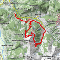
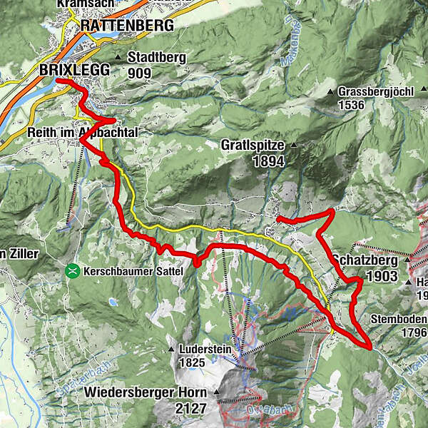
Day 1 – medium: Alpbachtal Seenland Mountain Bike Loop – from Brixlegg via Reith im Alpbachtal – Hygna - Inneralpbach and the Oberer Höhenweg to Alpbach
overnight in Alpbach
- Vaikeus
-
tapa
- Arviointi
-
- Reitti
-
Weng (526 m)0,0 kmBrixlegg0,3 kmMehrn (560 m)0,8 kmPestkapelle1,3 kmAlpsteg (619 m)2,0 kmBischofsbrunn2,4 kmReith im Alpbachtal (638 m)3,0 kmReither Anger (659 m)3,4 kmKapelle Maria vom Guten Rat4,9 kmHygna (817 m)5,1 kmEggen Kapelle6,8 kmSchulmeisterkapelle13,2 kmInneralpbach13,4 kmConny Tiroler Wirtshaus13,6 kmBuamkapelle14,4 kmKreuz15,8 kmAlpengasthof Roßmoos18,1 kmRossmooskapelle18,1 kmPfarrkirche Alpbach20,2 kmAlpbach (975 m)20,2 kmHeiligenkasten20,2 km
- Paras kausi
-
tammihelmimaalishuhtitoukokesäheinäelosyyslokamarrasjoulu
- Korkein kohta
- 1.243 m
- Kohde
-
Alpbach
- Korkeusprofiili
-


- Kirjoittaja
-
Kiertue Day 1 - Alpbachtal Seenland Mountain Bike Loop - moderate käyttää outdooractive.com toimitettu.
GPS Downloads


Yleistä tietoa
Virvokepysäkki
Lupaava
Lisää retkiä alueilla
-
Alpbachtal
293
-
Alpbach
121