© St. Anton / Arlberg - Christian Schranz
Retkitiedot
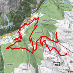
21,83km
1.294
- 1.684m
441hm
451hm
02:56h
St. Anton / Arlberg
- Lyhyt kuvaus
-
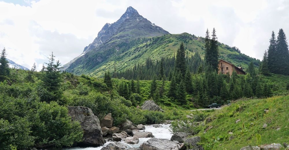
Tour to the Konstanzer Hut - from St. Anton through the Rosanna Gorge way up to the bottom of the Patteriol!
- Vaikeus
-
tapa
- Arviointi
-
- Reitti
-
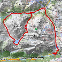
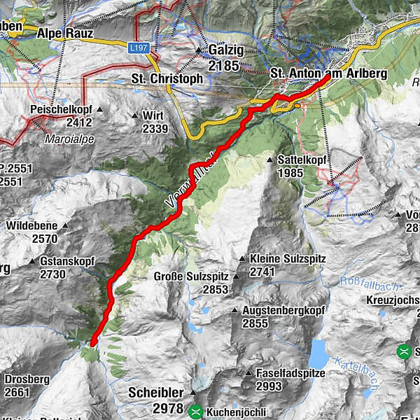
St. Anton am Arlberg (1.284 m)Stiegeneckkapelle2,9 kmSalzhütte6,6 kmKonstanzer Hütte10,9 kmSalzhütte15,1 kmStiegeneckkapelle18,8 kmSt. Anton am Arlberg (1.284 m)21,7 km
- Korkein kohta
- 1.684 m
- Korkeusprofiili
-


- Kirjoittaja
-
St. Anton / ArlbergKiertue Konstanzer Hut käyttää outdooractive.com toimitettu.


 Lech Zuers Tourismus by Hanno Mackowitz")