© TVB Tannheimer Tal

© Tannheimer Tal - Tourismusverband Tannheimer Tal

© Tannheimer Tal - Tourismusverband Tannheimer Tal

© Tannheimer Tal - Tourismusverband Tannheimer Tal
© Tannheimer Tal - Tourismusverband Tannheimer Tal

© Tannheimer Tal - Tourismusverband Tannheimer Tal

© Tannheimer Tal - Tourismusverband Tannheimer Tal

© Tannheimer Tal - Tourismusverband Tannheimer Tal

© Tannheimer Tal - Tourismusverband Tannheimer Tal

© Tannheimer Tal - Florian Müller
- Lyhyt kuvaus
-
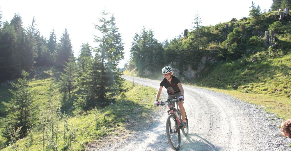
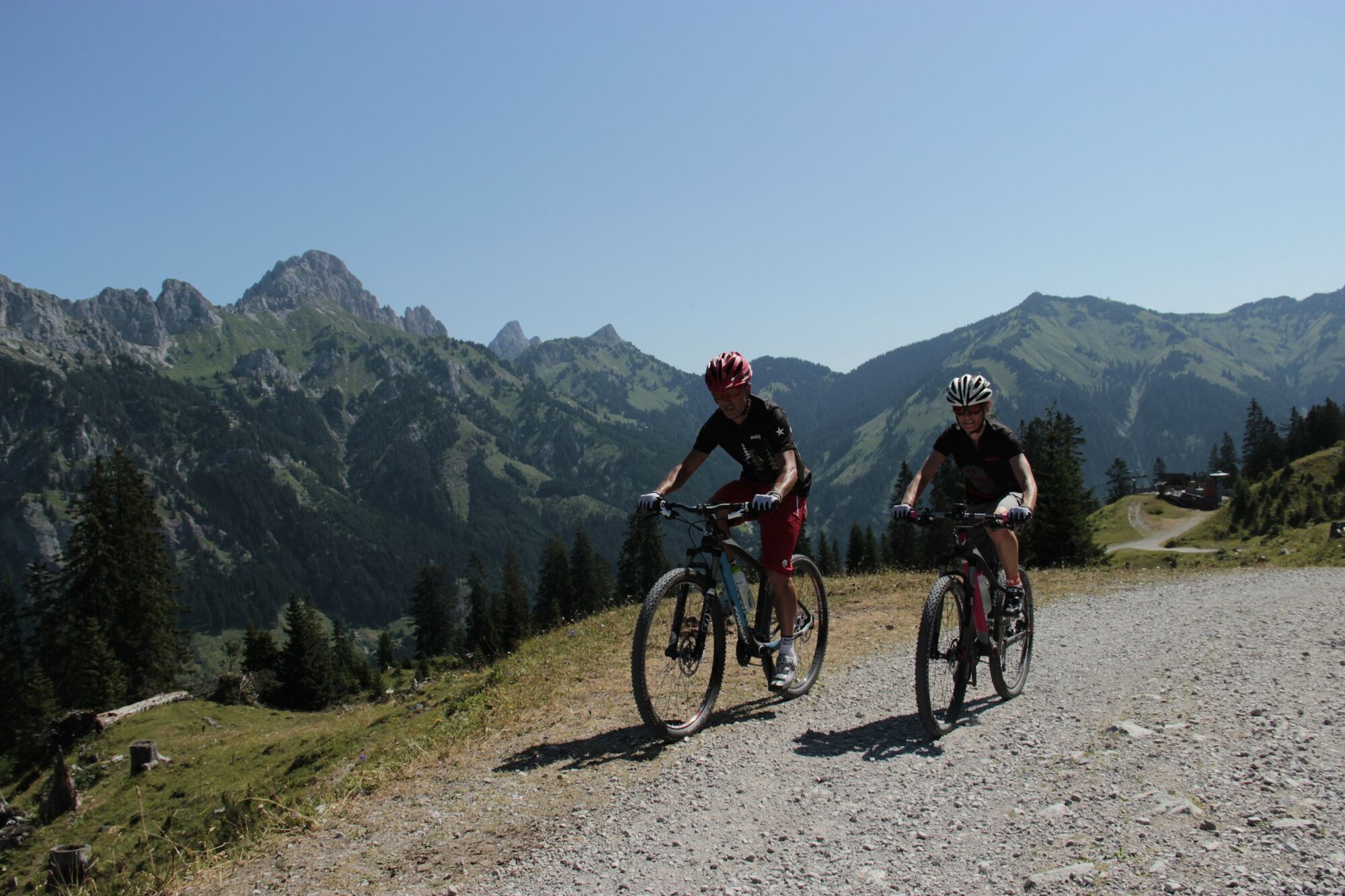
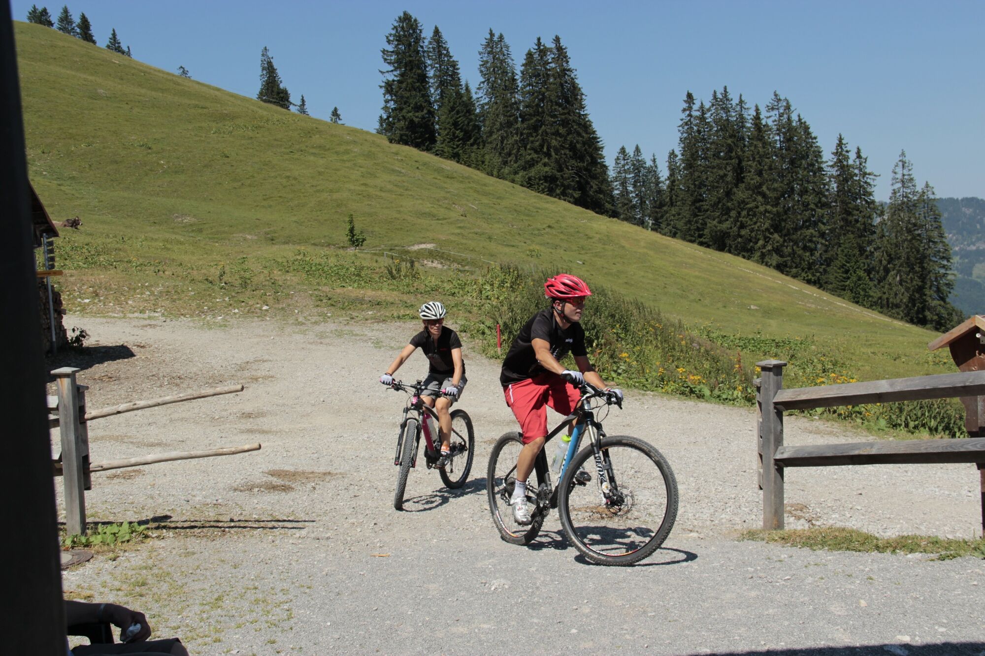
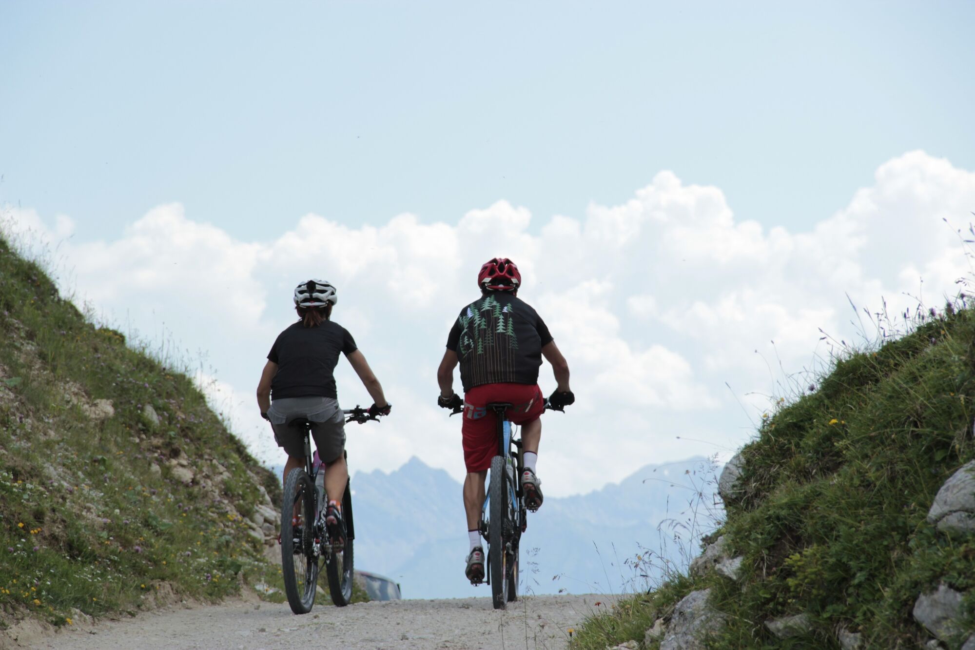
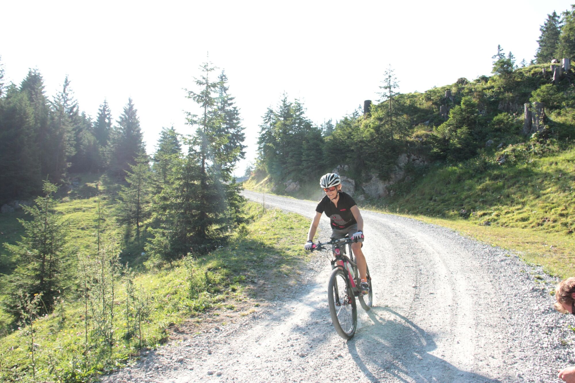
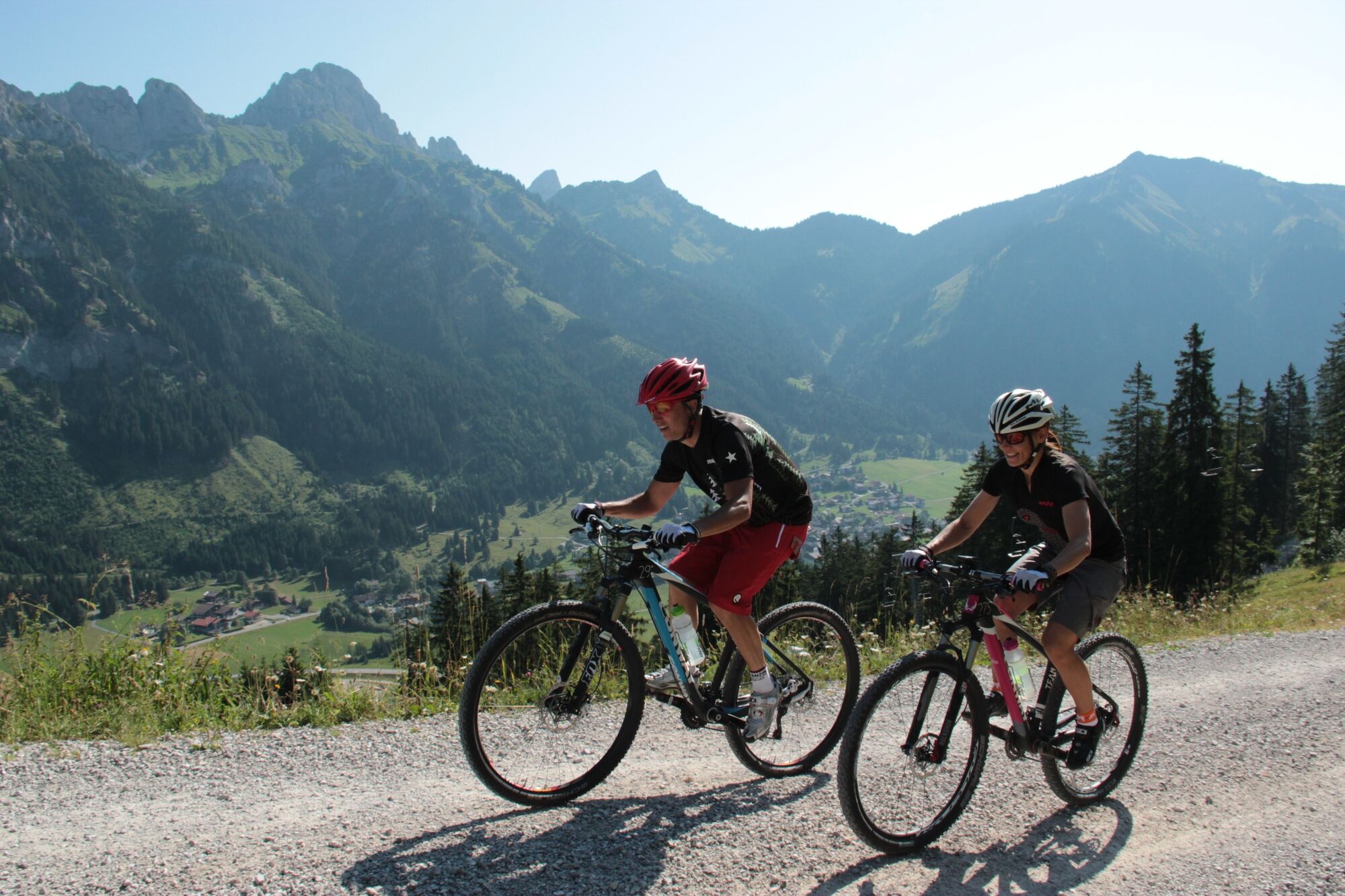
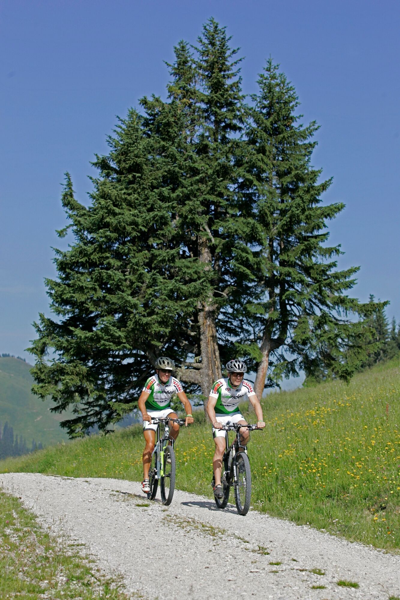
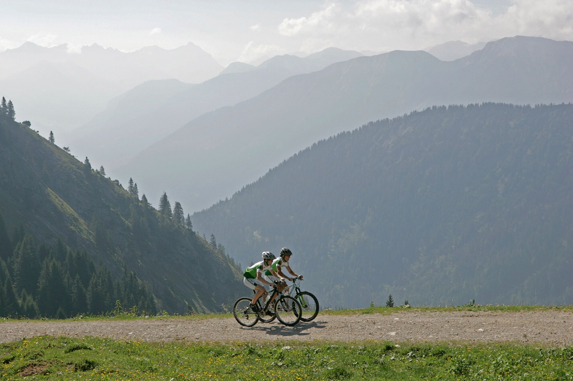
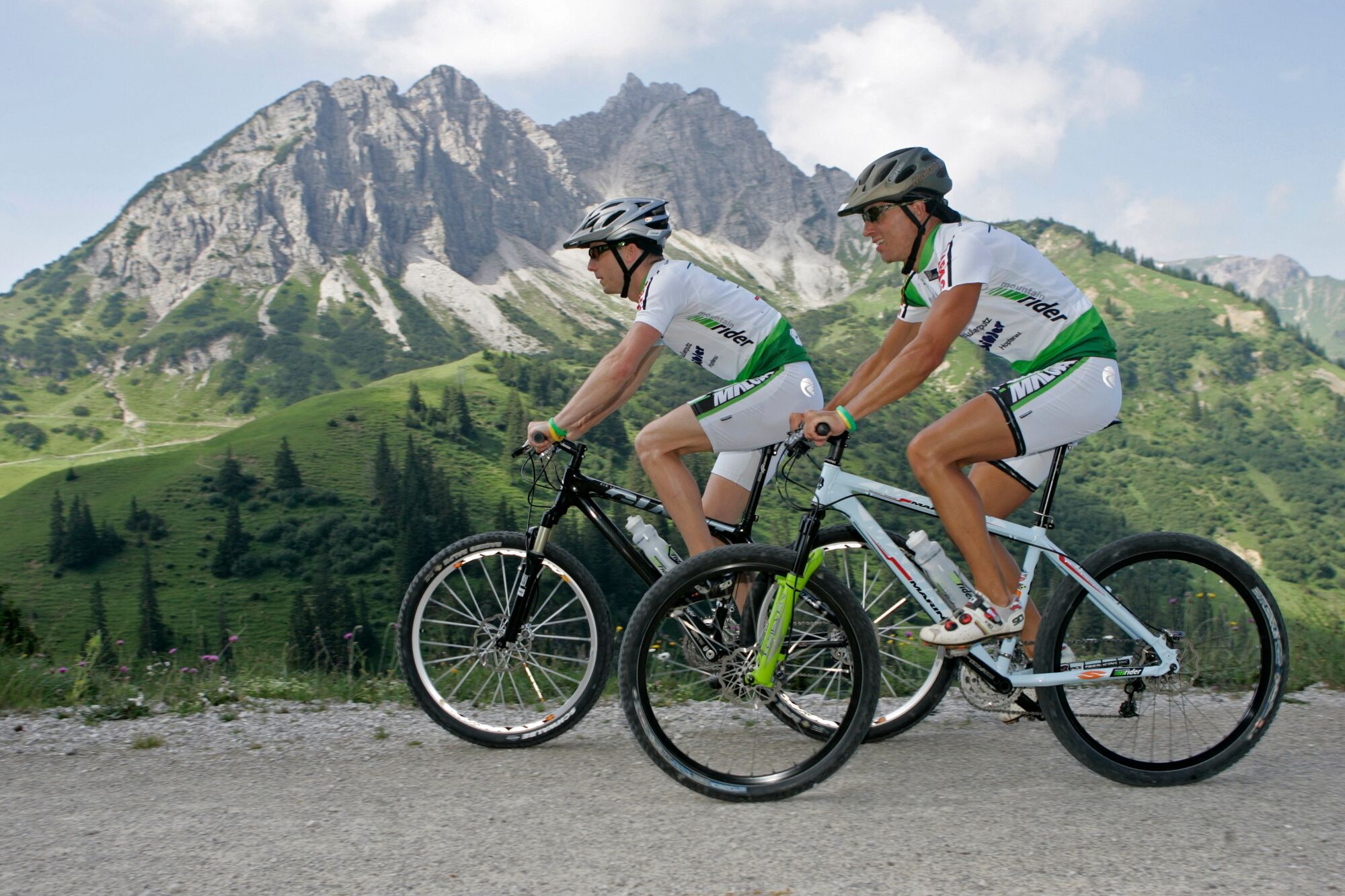
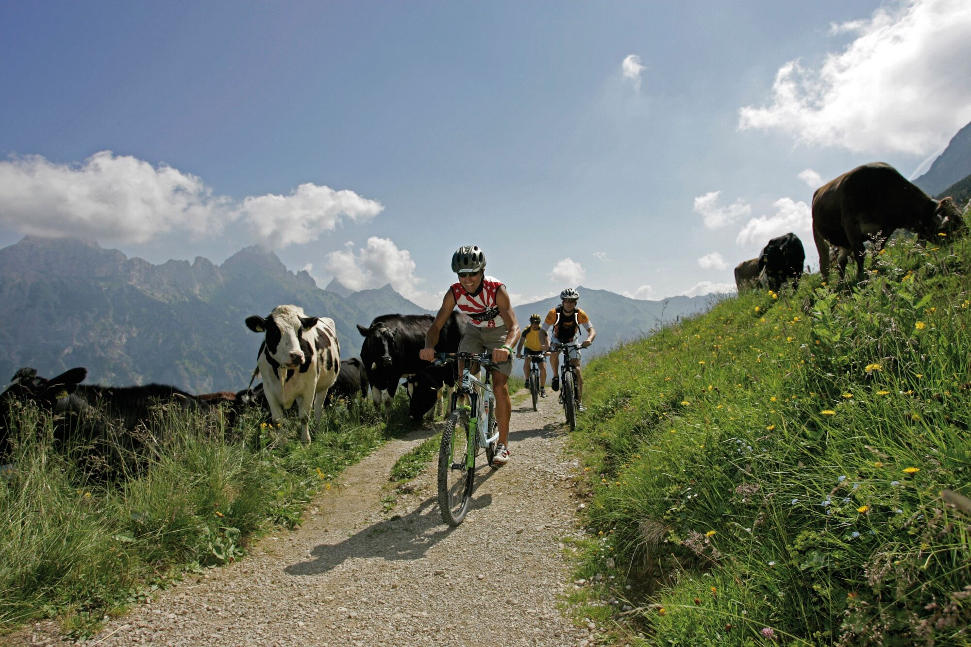
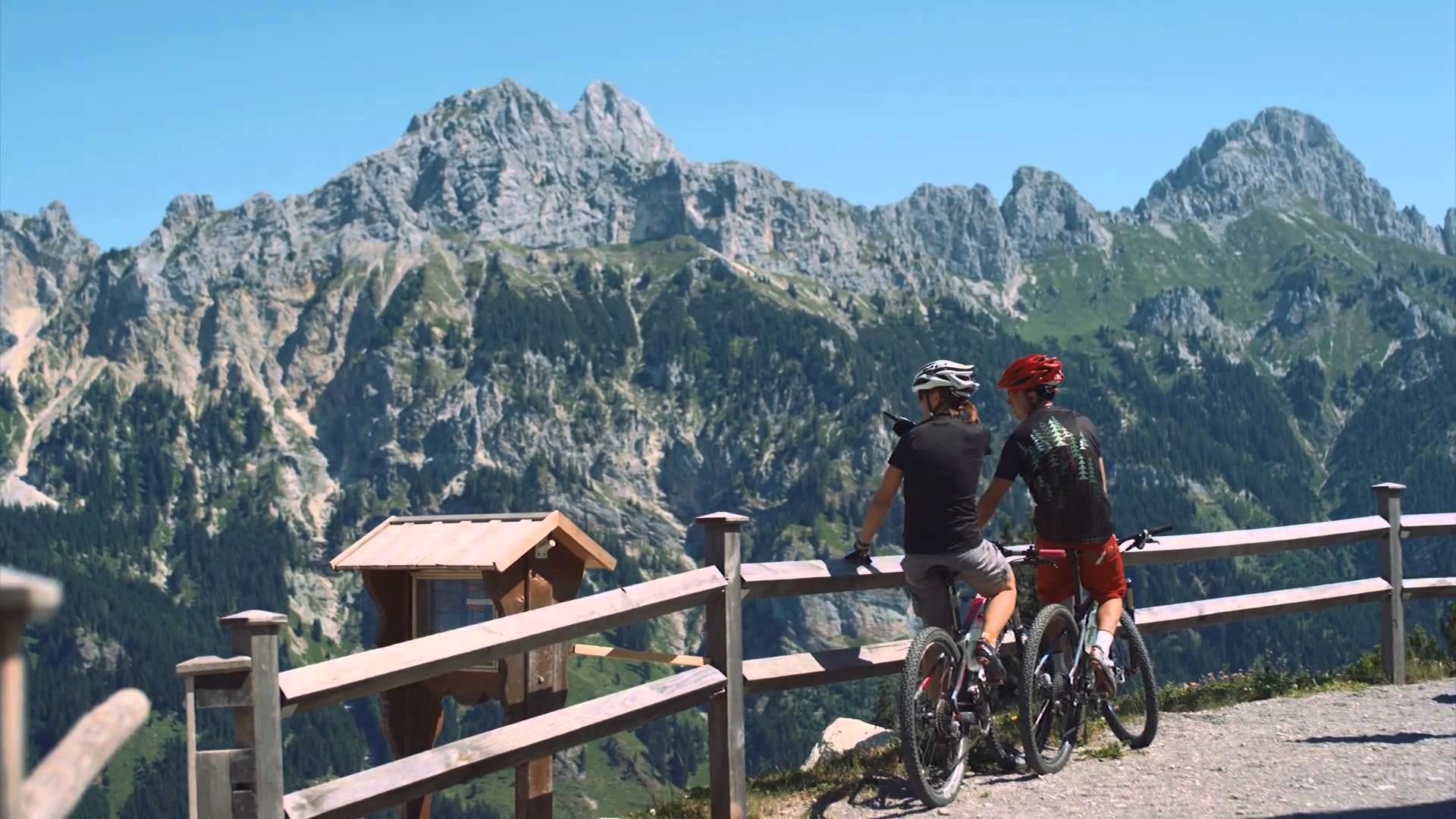
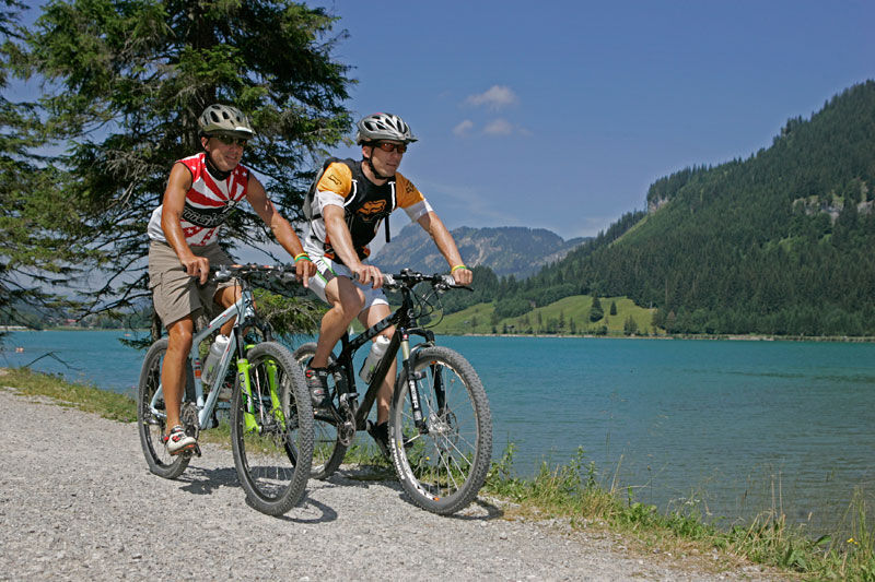
Enjoy the Tannheimer Tal on the bike.
- Vaikeus
-
tapa
- Arviointi
-
- Reitti
-
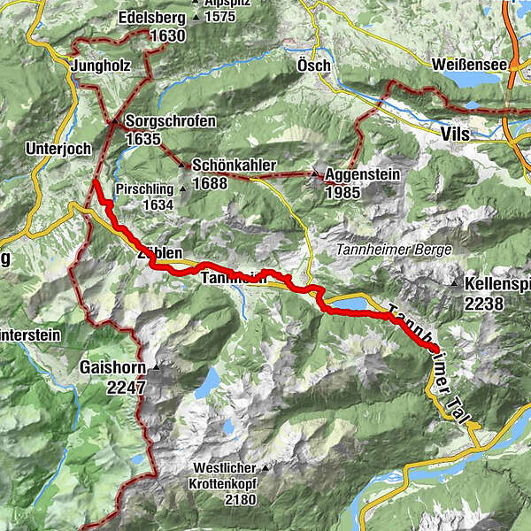
Nesselwängle (1.136 m)1,2 kmKrinnenalpe1,9 kmSchmitte2,3 kmTauscher's Alm5,1 kmSt. Jakobus5,5 kmHaldensee5,7 kmGrän (1.138 m)6,5 kmInnergschwend9,1 kmTannheim (1.097 m)10,7 kmFischteich13,2 kmZöblen (1.087 m)14,7 kmFricken15,6 kmHaus Schattwald (1.100 m)15,7 kmSchattwald (1.072 m)15,9 kmWies16,1 kmSteig16,9 km
- Paras kausi
-
tammihelmimaalishuhtitoukokesäheinäelosyyslokamarrasjoulu
- Korkein kohta
- 1.164 m
- Kohde
-
Landhotel Rehbach in Schattwald (exit from the tour possible on the whole valley level)
- Korkeusprofiili
-


- Kirjoittaja
-
Kiertue Cycle path Tannheimer Tal - cycling käyttää outdooractive.com toimitettu.
GPS Downloads


Yleistä tietoa
Virvokepysäkki
Flora
Fauna
Lupaava
Lisää retkiä alueilla
-
Allgäu
410
-
Tannheimer Tal
160
-
Tannheim
37