© Tannheimer Tal - Michael Keller

- Lyhyt kuvaus
-
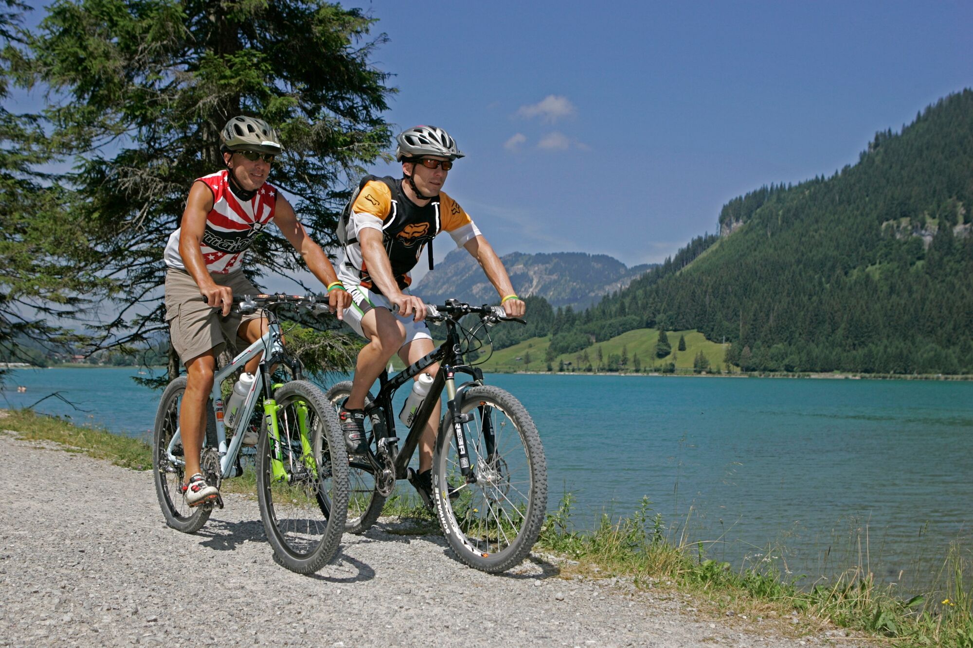
A bicycle tour through the "most beautiful high valley in Europe
- Vaikeus
-
tapa
- Arviointi
-
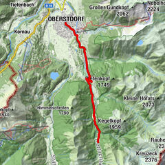
- Reitti
-
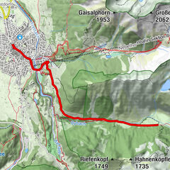
Nesselwängle (1.136 m)1,2 kmKrinnenalpe1,9 kmSchmitte2,3 kmTauscher's Alm5,1 kmSt. Jakobus5,5 kmHaldensee5,7 kmGrän (1.138 m)6,5 kmInnergschwend9,1 kmTannheim (1.097 m)10,6 kmFischteich13,2 kmZöblen (1.087 m)14,6 kmFricken15,5 kmHaus Schattwald (1.100 m)15,7 kmSchattwald (1.072 m)15,8 kmWies16,1 kmSteig16,8 km
- Paras kausi
-
tammihelmimaalishuhtitoukokesäheinäelosyyslokamarrasjoulu
- Korkein kohta
- 1.164 m
- Kohde
-
Landhotel Rehbach in Schattwald (exit from the tour possible on the whole valley level)
- Korkeusprofiili
-

- Kirjoittaja
-
Kiertue Cycle path Tannheimer Tal - E-Bike käyttää outdooractive.com toimitettu.
GPS Downloads


Yleistä tietoa
Virvokepysäkki
Flora
Fauna
Lupaava
Lisää retkiä alueilla
-
Allgäu
389
-
Tannheimer Tal
151
-
Tannheim
30