© TVB Kufsteinerland - Mathäus Gartner

© TVB Kufsteinerland - Vanmey Photography

© TVB Kufsteinerland - Mathäus Gartner

© TVB Kufsteinerland

© TVB Kufsteinerland

- Lyhyt kuvaus
-
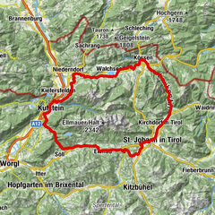
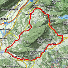
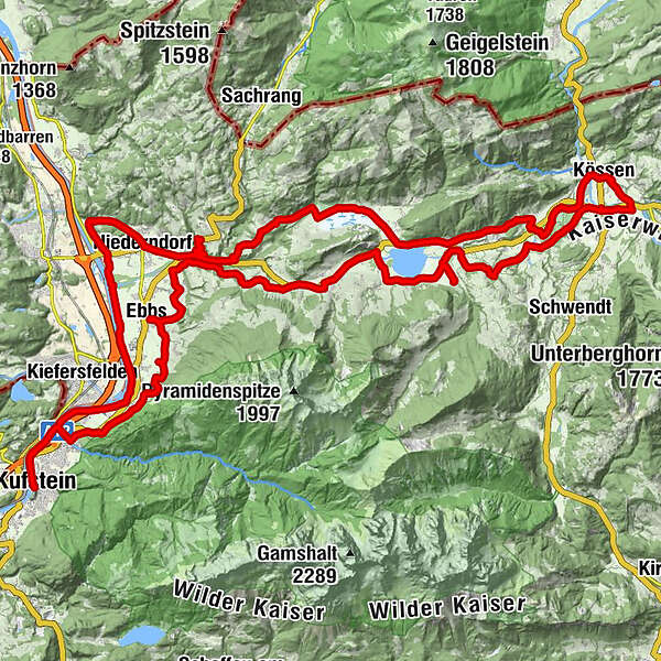
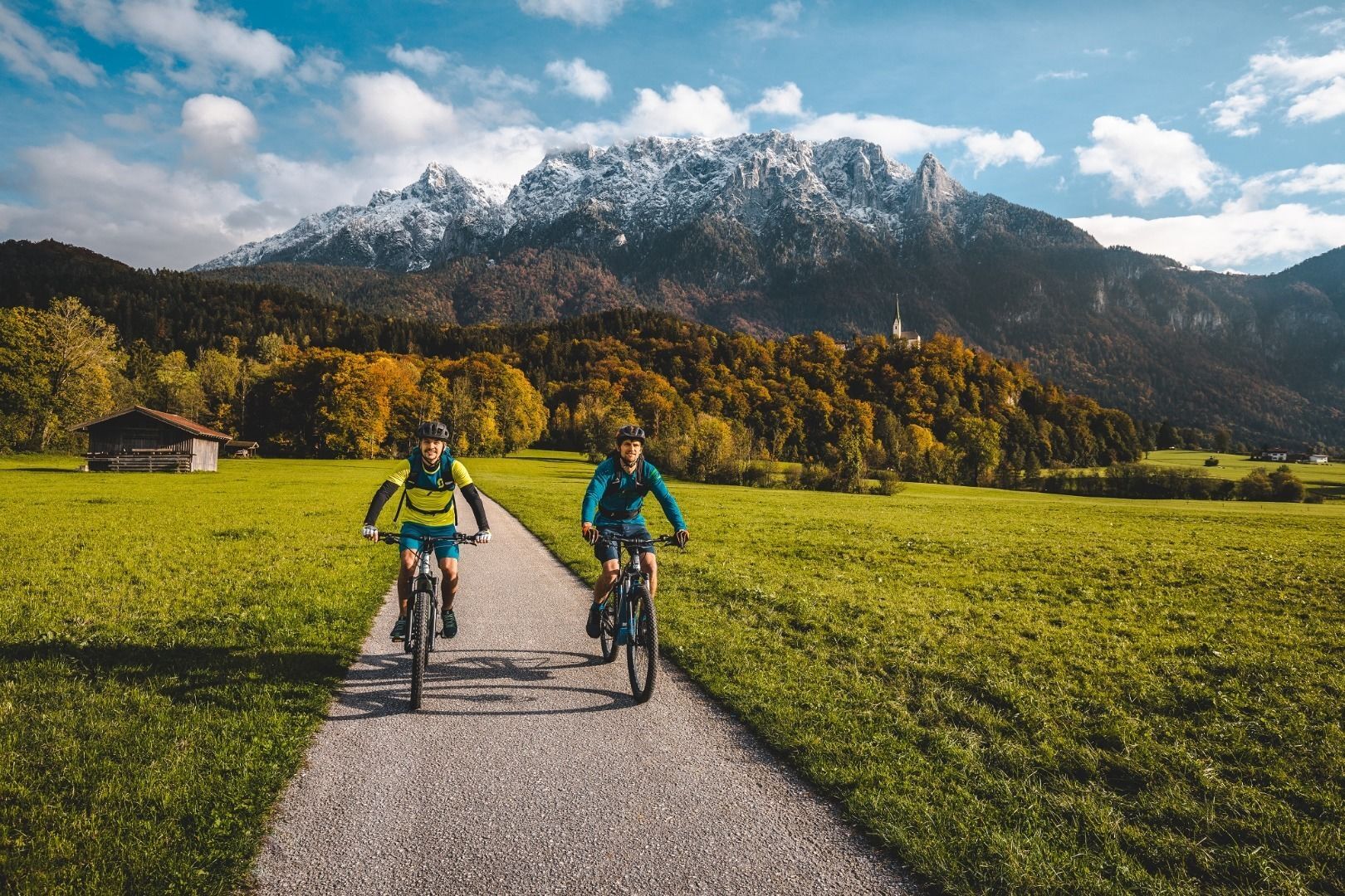
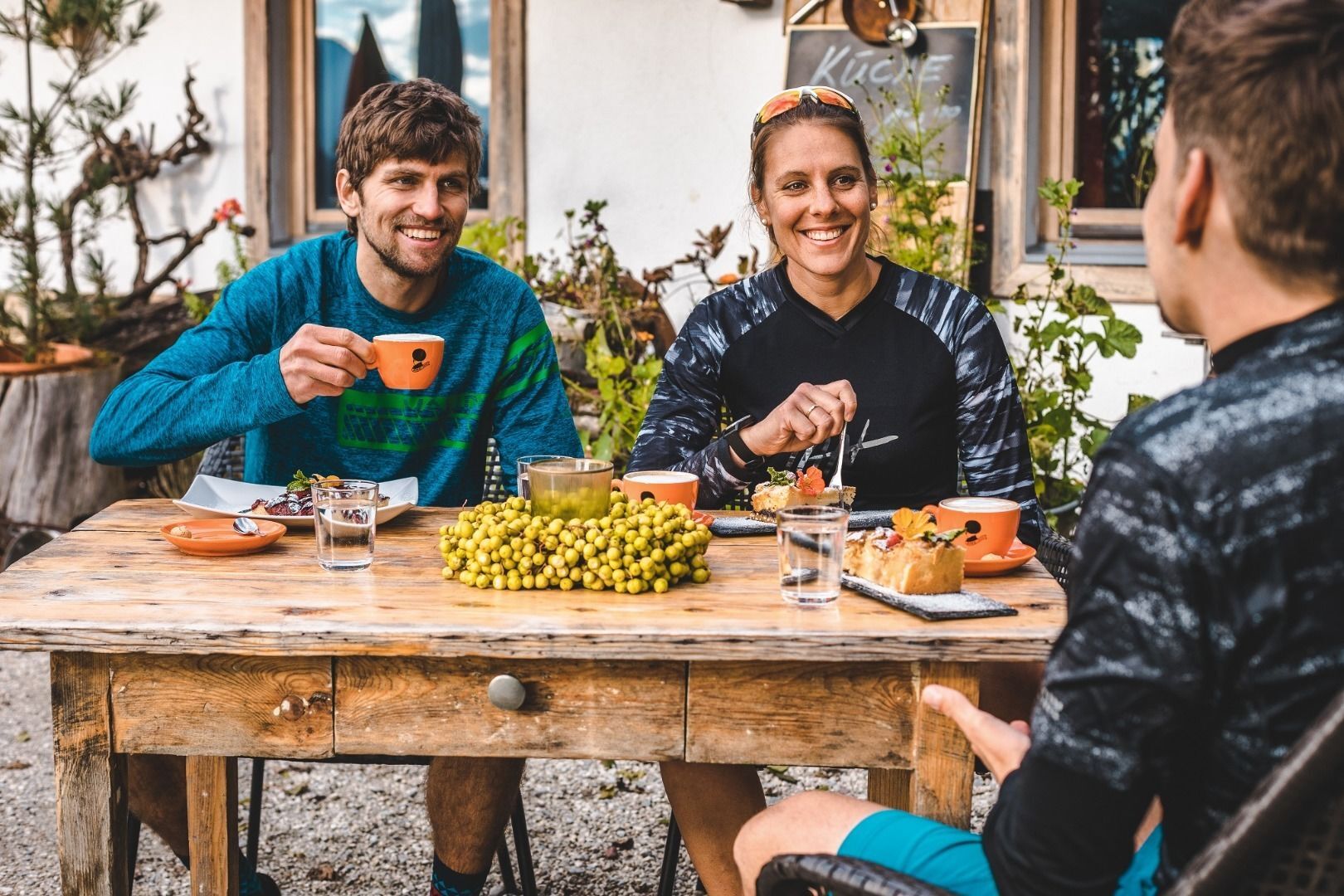
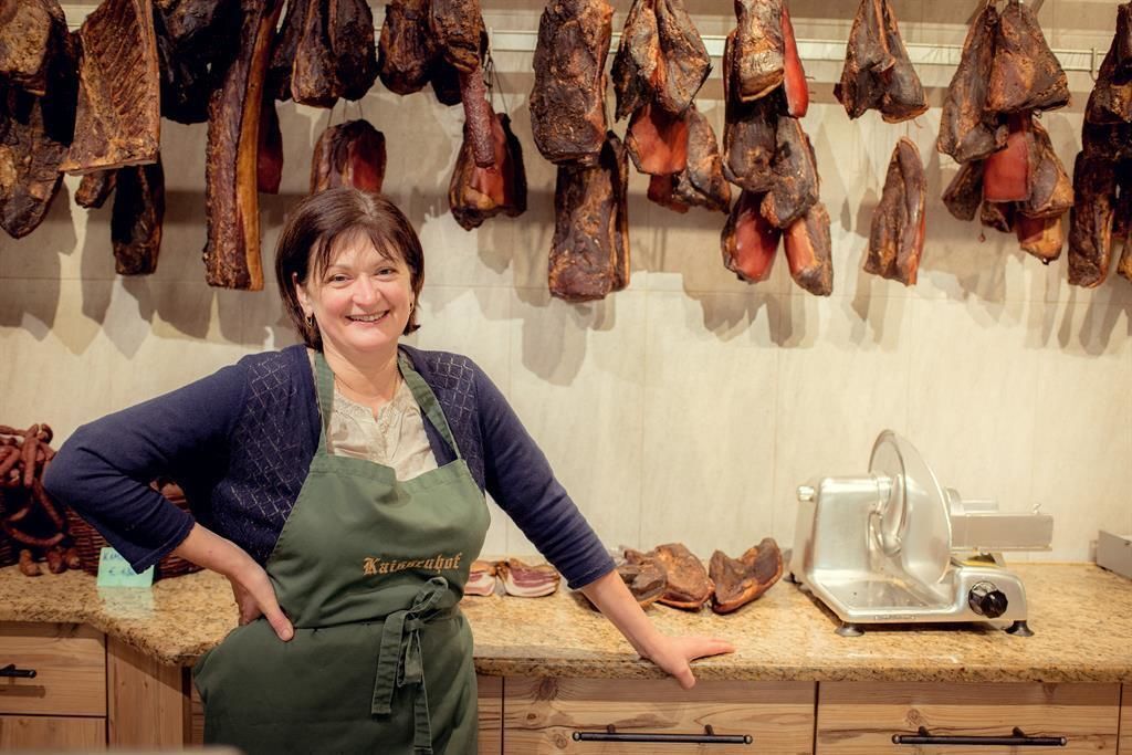
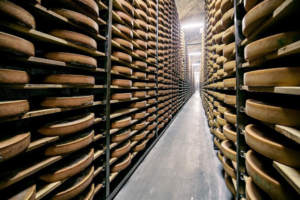
The large Kaiserweis culinary cycle route from Kufstein to Walchsee and Kössen then back via Rettenschöss and Niederdorf. With a length of 71.9 kilometres and altitude gain of 720 meters, this route not only includes plenty of cycling but also plenty of attractions, which let the time fly.
- Vaikeus
-
tapa
- Arviointi
-
- Reitti
-
KufsteinEbbs10,0 kmMühltal12,4 kmWagrain-Mühltal12,4 kmWagrain12,8 kmPoint13,2 kmSebi14,0 kmBrand15,0 kmAsching16,5 kmDurchholzen (690 m)18,7 kmBrandauerhof18,7 kmLiftstüberl19,6 kmLiesfeld (686 m)19,7 kmOed (670 m)22,2 kmCafe am See22,9 kmHubertuskapelle25,0 kmRiedl30,0 kmNiederbichl30,1 kmGolfrestaurant31,8 kmBrennerwirt32,5 kmWaidachhof32,6 kmWaidach32,7 kmPalast33,1 kmStöcklkapelle33,8 kmHütte34,4 kmKössen36,3 kmHeiliger Petrus und Paulus36,4 kmErlau37,1 kmAnnakapelle38,2 kmWalchsee45,4 kmSchwaigs (664 m)47,3 kmGolf- u. Sporthotel Moarhof47,7 kmRettenschöss (685 m)50,3 kmLeitacker (619 m)52,3 kmBrand53,1 kmSebi56,8 kmGasthof Gradlwirt58,3 kmFriedhofkapelle58,6 kmPfarrkirche St. Georg58,6 kmNiederndorf58,6 kmHölzelsau60,1 kmOberndorf65,7 kmFährstelle Ebbs67,7 kmKufstein71,7 km
- Paras kausi
-
tammihelmimaalishuhtitoukokesäheinäelosyyslokamarrasjoulu
- Korkein kohta
- 698 m
- Kohde
-
Kufstein Marienbrunnen
- Korkeusprofiili
-

- Kirjoittaja
-
Kiertue Kaiserweis pure culinary cycle route käyttää outdooractive.com toimitettu.
GPS Downloads


Lisää retkiä alueilla
-
Kaiserwinkl
135
-
Rettenschöss
33