© Tannheimer Tal - TVB Tannheimer Tal

© Tannheimer Tal - Tourismusverband Tannheimer Tal

© Tannheimer Tal - Tourismusverband Tannheimer Tal

© Tannheimer Tal - Tourismusverband Tannheimer Tal

© Tannheimer Tal - Tourismusinformation Tannheimer Tal

© Tannheimer Tal - Tourismusinformation Tannheimer Tal

© Ferienregion Tannheimer Tal

© Ferienregion Tannheimer Tal
© Tannheimer Tal - TVB Tannheimer Tal
- Lyhyt kuvaus
-
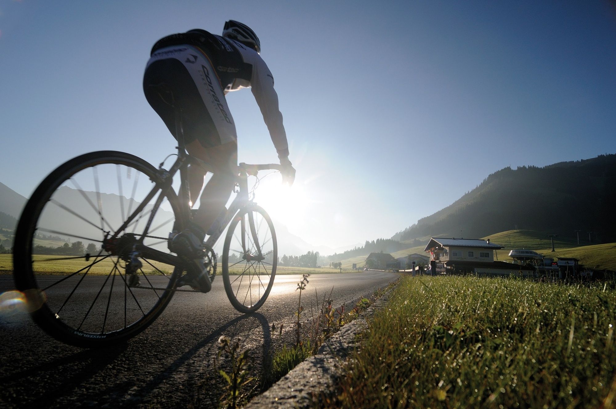
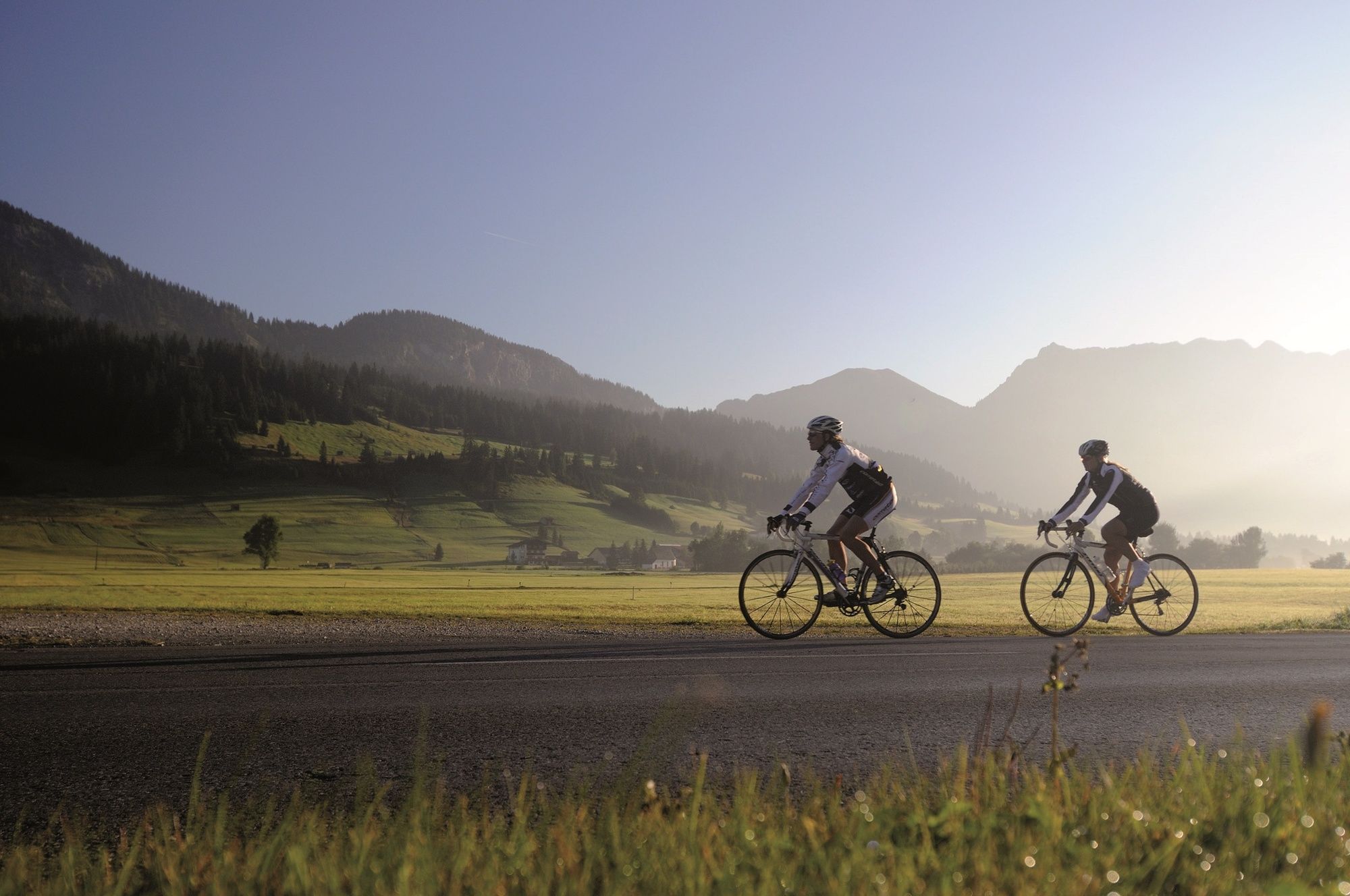
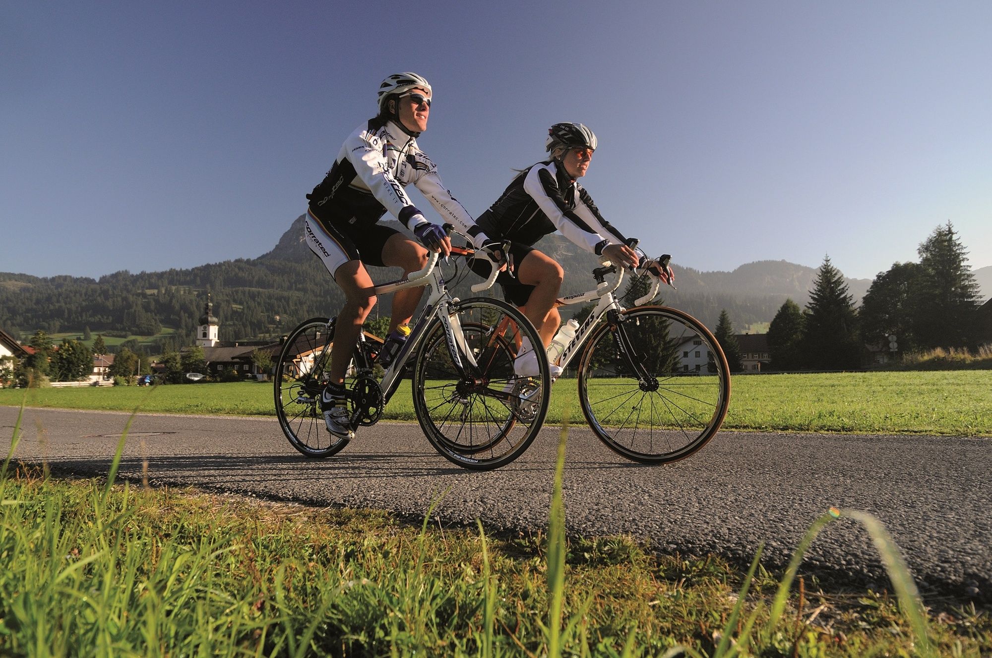
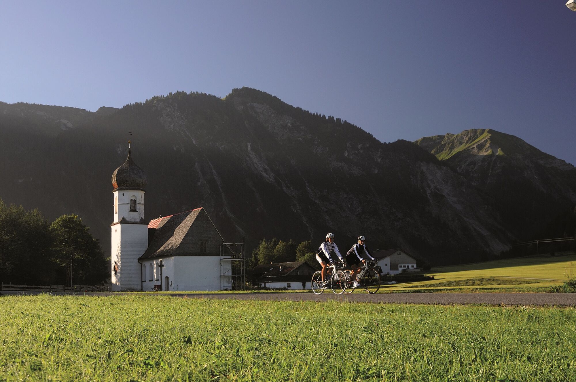
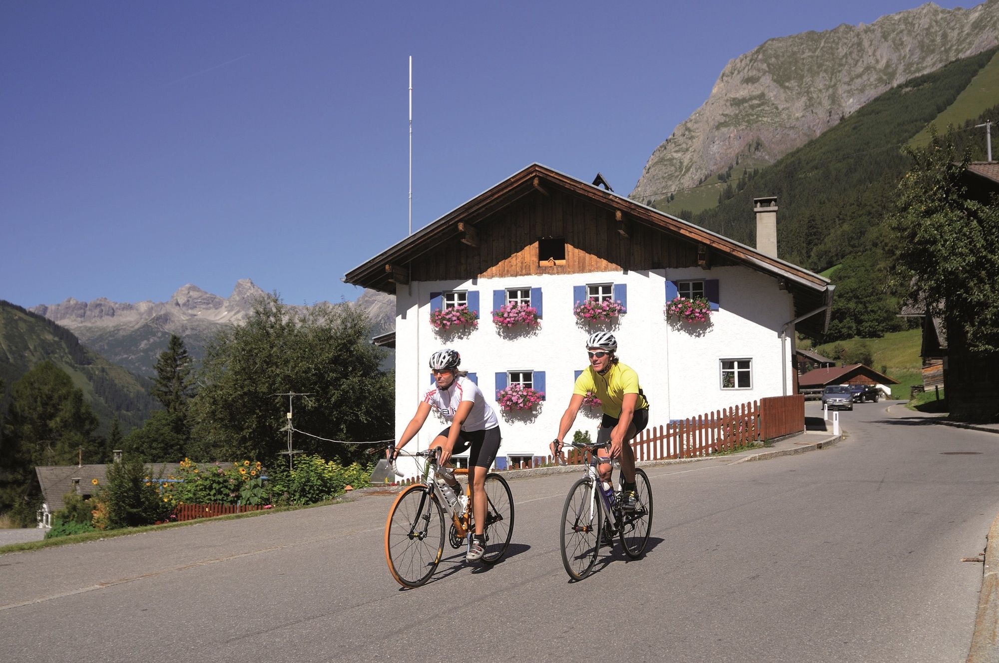
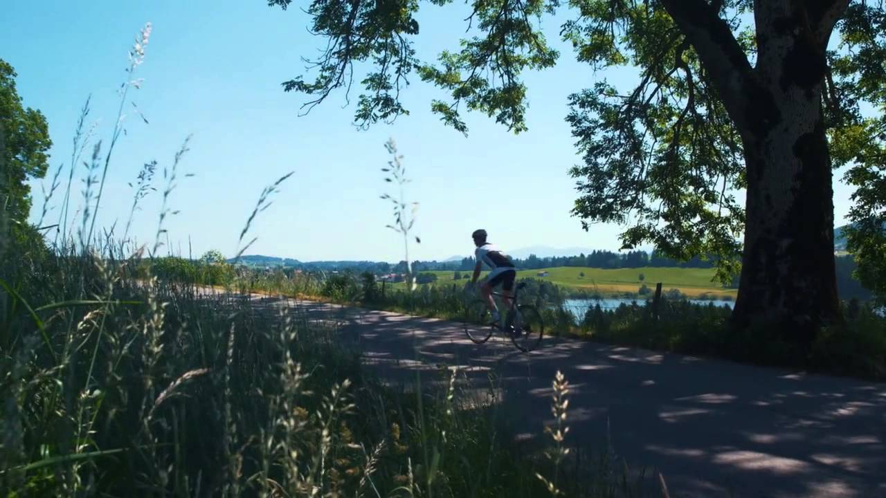
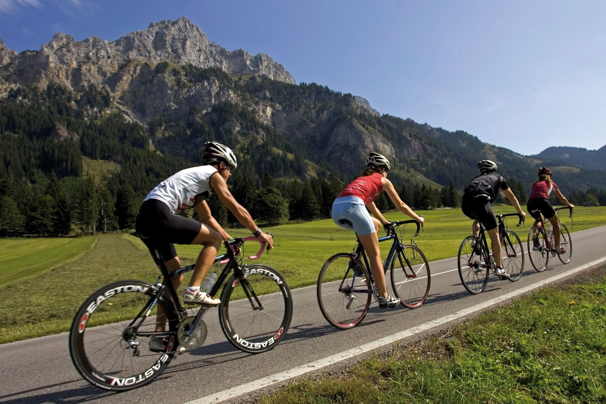
A nice and comfortable tour around the Tannheimer Tal.
- Vaikeus
-
tapa
- Arviointi
-
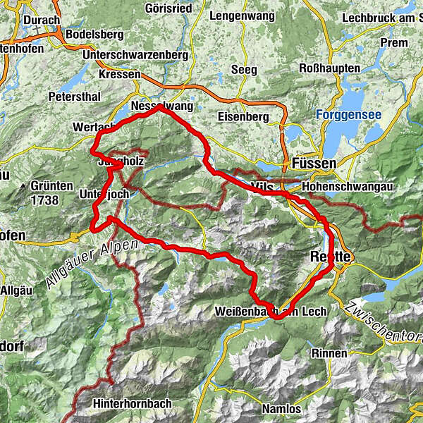
- Reitti
-
Tannheim (1.097 m)0,0 kmSt. Jakobus3,2 kmHaldensee3,2 kmVia Salina Hotel am See5,0 kmSt. Johannes5,1 kmHaller5,2 kmSchmittekapelle6,0 kmSchmitte6,2 kmNesselwängle (1.136 m)7,3 kmMariahilf Kapelle9,0 kmGasthof Klausenstüberl9,9 kmStegmühlkapelle9,9 kmRauth10,2 kmWeißenbach am Lech (885 m)14,9 kmDorfkirche14,9 kmFloriankapelle23,3 kmSt. Anna24,0 kmReutte (853 m)24,1 kmReutte in Tirol (850 m)24,7 kmEdelweis25,0 kmMoschee25,6 kmHüttenbichl26,5 kmPflach (840 m)26,8 kmHotel - Gasthof zum Schwanen27,1 kmKirche Hl. Drei Könige27,5 kmKappl27,7 kmUnterletzen27,9 kmOberpinswang30,4 kmUnterpinswang33,0 kmKrone36,5 kmVils (826 m)36,5 kmSchwarzer Adler36,6 kmSchönbichl39,1 kmPfronten-Steinach (841 m)41,1 kmSt. Michael42,0 kmSteinach42,1 kmSt. Koloman42,8 kmÖsch42,9 kmDorf43,2 kmSt. Leonhardskirche43,5 kmHeitlern43,6 kmPfronten43,8 kmRied43,9 kmGedenken an Kriegsgefallene44,4 kmBerg44,5 kmKapelle St.Sebastian45,6 kmWeißbach45,7 kmSt. Martin47,2 kmGasthof Engel - Alps Hostel47,5 kmKappel47,6 kmWank48,9 kmObere Wank50,1 kmÄußerer Markt50,5 kmMittlerer Markt50,5 kmNesselwang50,8 kmPfarrkirche St. Andreas50,9 kmOberer Markt51,1 kmAm Mühlbach51,4 kmIm Brand51,4 kmIm Gern52,2 kmBayerstetten52,5 kmReichenbach53,2 kmBuron Stadl55,6 kmEnthalb der Ach58,7 kmLochbiler62,3 kmLochbihler62,6 kmJungholz (1.054 m)63,7 kmPfarrkirche Mariä Namen63,8 kmMariä Himmelfahrt67,3 kmUnterjoch68,3 kmObergschwend69,3 kmOberjoch72,0 kmKaminstube73,2 kmSteig76,4 kmSchattwald (1.072 m)77,4 kmZöblen (1.087 m)78,5 kmKienzen81,0 kmNeu Kienzen81,2 kmTannheim (1.097 m)82,1 km
- Paras kausi
-
tammihelmimaalishuhtitoukokesäheinäelosyyslokamarrasjoulu
- Korkein kohta
- 1.174 m
- Kohde
-
Tannheim
- Korkeusprofiili
-


- Kirjoittaja
-
Kiertue Oberjoch round käyttää outdooractive.com toimitettu.
GPS Downloads


Yleistä tietoa
Virvokepysäkki
Flora
Fauna
Lupaava
Lisää retkiä alueilla