

- Lyhyt kuvaus
-
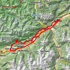
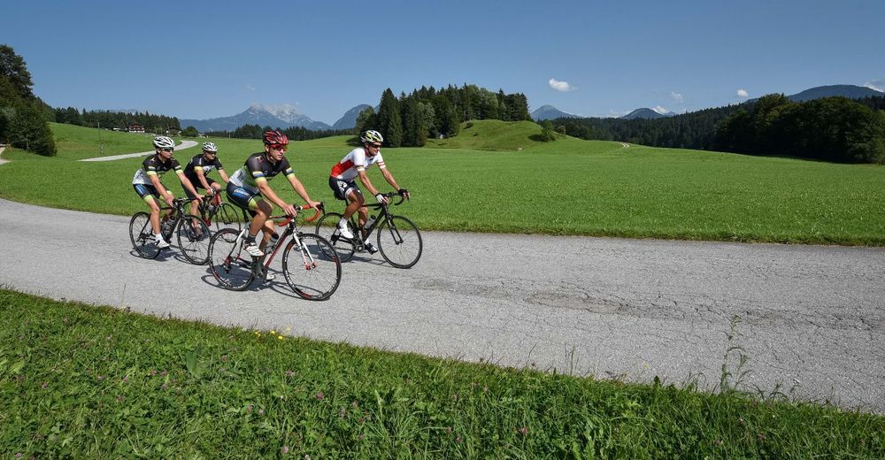
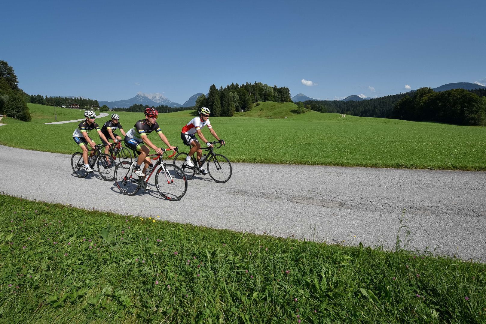
An easy road cycling route past the villages to the left and right of the Inn Valley with little elevation and therefore ideal for anybody who is new to road cycling.
- Vaikeus
-
helppo
- Arviointi
-
- Reitti
-
Rattenberg0,0 kmBrixlegg1,9 kmWeng (526 m)2,5 kmRestaurant Gut Matzen3,3 kmLichtwerth (529 m)3,8 kmFilialkirche St. Gertraudi5,0 kmSankt Gertraudi (527 m)5,1 kmStrass im Zillertal (523 m)7,7 kmPfarrkirche zum Heiligen Jakobus d. Ä7,7 kmPfarrkirche Strass7,7 kmStrass im Zillertal (525 m)8,0 kmGasthof Esterhammer9,9 kmMaurach11,1 kmJenbach (563 m)11,7 kmBauernkuchl12,2 kmBuch in Tirol13,8 kmEdenhofkapelle16,1 kmKreuzkapelle16,9 kmKnappenkuchl16,9 kmATIB Schwaz18,7 kmSchwaz19,2 kmKreuzkirchl21,6 kmPill (556 m)22,6 kmPfarrkirche Heilige Anna22,7 kmPfarrkirche Sankt Gallus25,9 kmKolsass (553 m)26,0 kmWeer26,2 kmSwarovski Fountain29,7 kmEvang. Christuskirche29,9 kmFriedhofskapelle30,0 kmLaurentiuskirche Wattens30,0 kmWattens (564 m)30,2 kmKreuzbichl31,0 kmPizzeria Del Sole31,6 kmPfarrkirche hl. Johannes dem Täufer32,4 kmCafe Bräu32,5 kmVolders (558 m)32,5 kmAnnakapelle35,5 kmPfarrkirche Baumkirchen35,8 kmBaumkirchen (593 m)36,0 kmFritzens-Wattens38,0 kmWattens (564 m)38,3 kmTiroler Stubn39,3 kmFritznerhof39,6 kmFritzens (591 m)39,7 kmNeuterfens43,3 kmNeu-Terfens43,4 kmPfarrkirche Sankt Juliana44,2 kmTerfens44,3 kmVomperbach47,0 kmVomp49,1 kmGasthaus Pelikan49,2 kmSchwaz50,5 kmGasthof Marschall53,1 kmStans53,3 kmFriedhofskapelle53,5 kmTratzberg56,1 kmHupfaufkapelle57,8 kmJenbach (563 m)58,8 kmPfarrkirche Heiliger Wolfgang und Leonhard58,8 kmDorfwirt62,1 kmWiesing62,2 kmBus-Stop62,6 kmBradl63,2 kmHaus64,5 kmEntgasse65,3 kmMünster (535 m)65,8 kmPizzeria Buongiorno66,4 kmHagau (517 m)69,5 kmBrixlegg69,5 kmKramsach70,6 kmAmerling70,7 kmRattenberg72,2 km
- Paras kausi
-
tammihelmimaalishuhtitoukokesäheinäelosyyslokamarrasjoulu
- Korkein kohta
- 620 m
- Kohde
-
Rattenberg, town main square fountain
- Korkeusprofiili
-

-

-
KirjoittajaKiertue Road bike 15 Oberes Unterinntal käyttää outdooractive.com toimitettu.
GPS Downloads


Yleistä tietoa
Virvokepysäkki
Lisää retkiä alueilla
-
Silberregion Karwendel
43
-
Stans
19