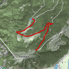
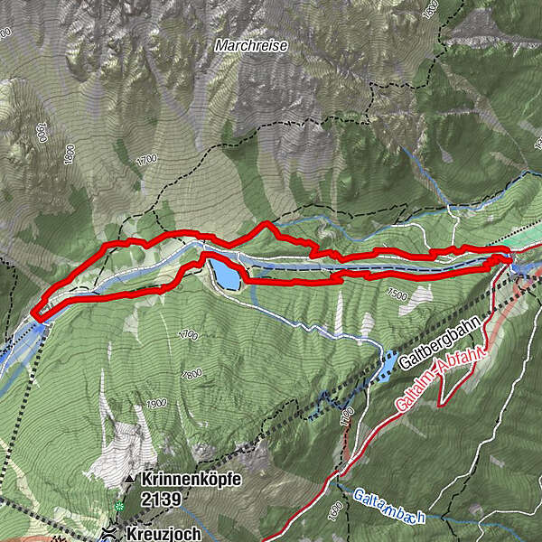
1. Schneeschuhwanderweg Froneben - Schlickeralm

Logo 1. Schneeschuhwanderweg Froneben - Schlickeralm
Retkitiedot
5,51km
1.356 - 1.641m
Distanz
260hm
248hm
Nousu
02:14h
 
Kesto
Reitti
Schutzengelkapelle
2,7 km
Brugger Alm
5,4 km

Korkein kohta
1.641 m
Kohde

Mittelstation Froneben Schlick 2000

Korkeusprofiili

Kirjoittaja

Yleinen luokitus

5

0

%

4

0

%

3

0

%

2

0

%

1

0

%

Virhe
On tapahtunut virhe. Yritä uudelleen.
Kiitos arvostelusta

Luokitus poistettiin

GPS Downloads
  • GPX GPS Exchange Format (XML)
  • KML Google Earth, Google Maps
QR-latauskoodit matkapuhelimiin
Lisää retkiä alueilla
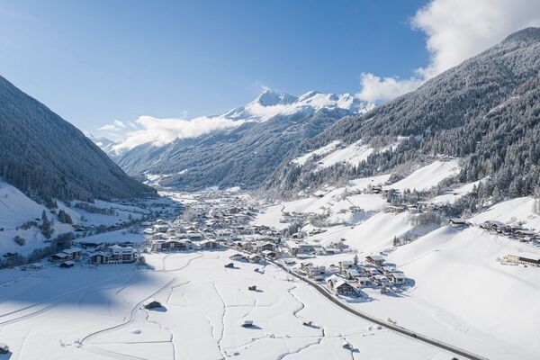
Suosittuja retkiä alueella

Schneeschuhwanderung Trunaalm (1.914 m)

tapa
16,82km | 983hm | 06:00h