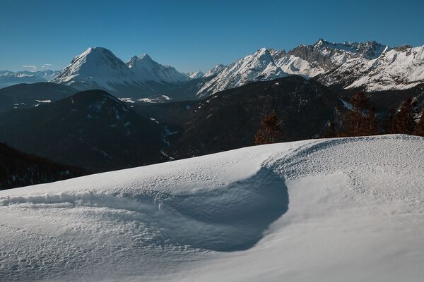
© Tourismusverband Region Hall-Wattens - Anne W.
- Lyhyt kuvaus
-
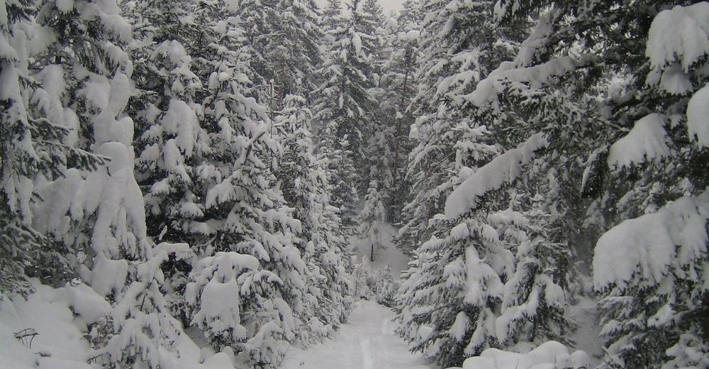
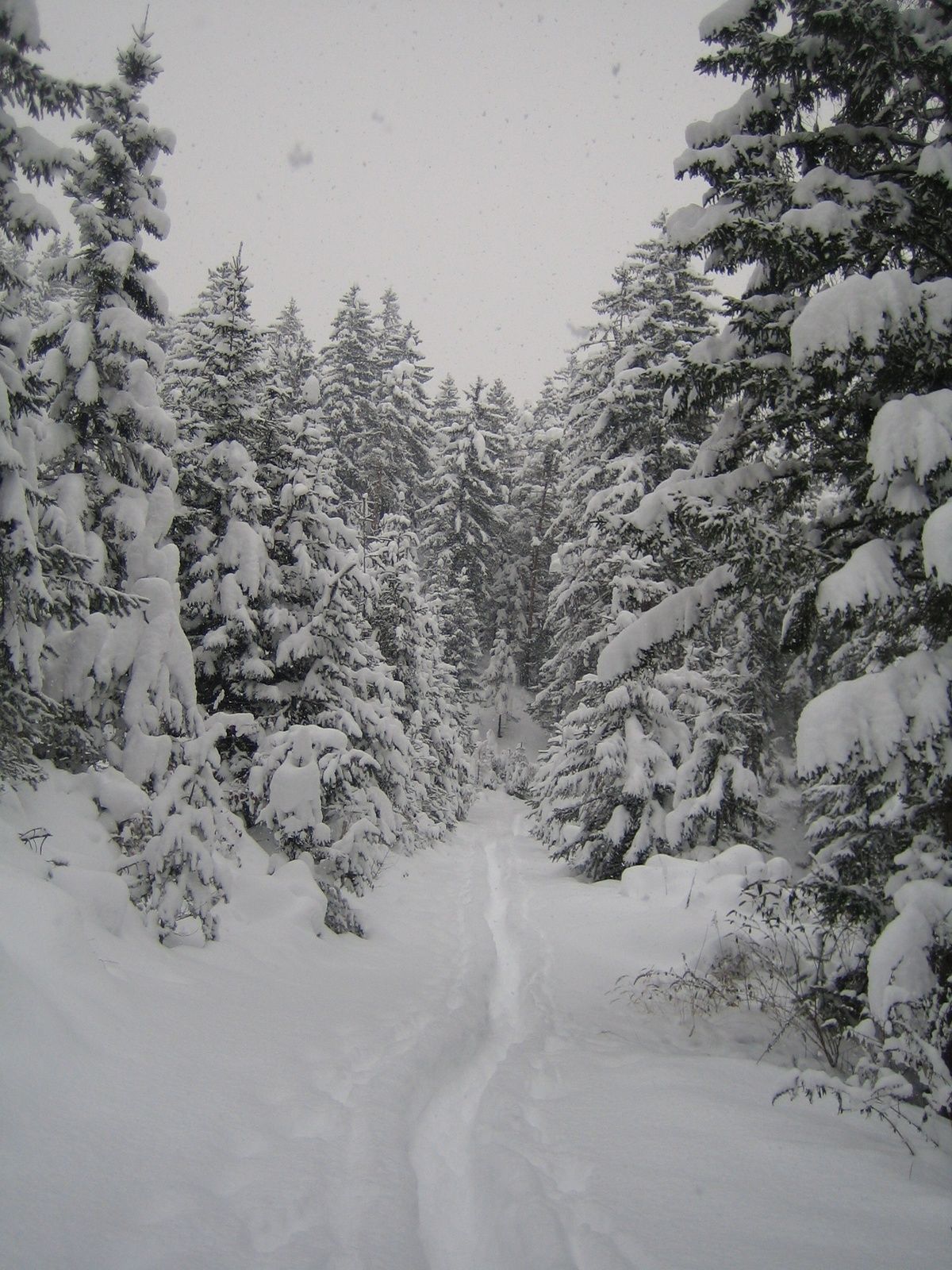
Alpine tour that requires appropriate knowledge!
- Vaikeus
-
vaikea
- Arviointi
-
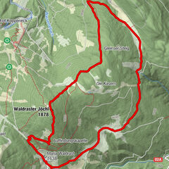
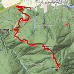
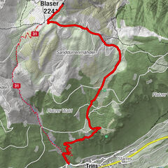
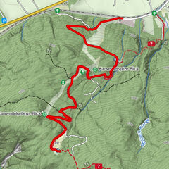
- Reitti
-
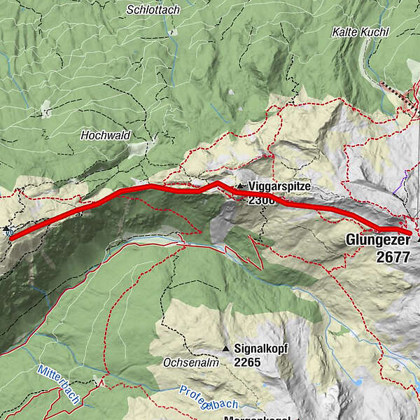
Viggarspitze (2.306 m)2,0 kmBoscheben3,6 km
- Paras kausi
-
elosyyslokamarrasjoulutammihelmimaalishuhtitoukokesäheinä
- Korkein kohta
- 2.509 m
- Kohde
-
Patscherkofel Igls
- Korkeusprofiili
-

- Kirjoittaja
-
Kiertue Snowshoe- Hike from the Glungezer to the Patscherkofel käyttää outdooractive.com toimitettu.
GPS Downloads


Yleistä tietoa
Virvokepysäkki
Sisäpiirin vinkki
Lupaava
Lisää retkiä alueilla