- Lyhyt kuvaus
-
Mit allen Wassern gewaschen
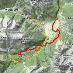
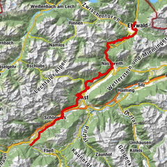
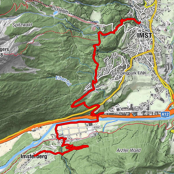
- Reitti
-
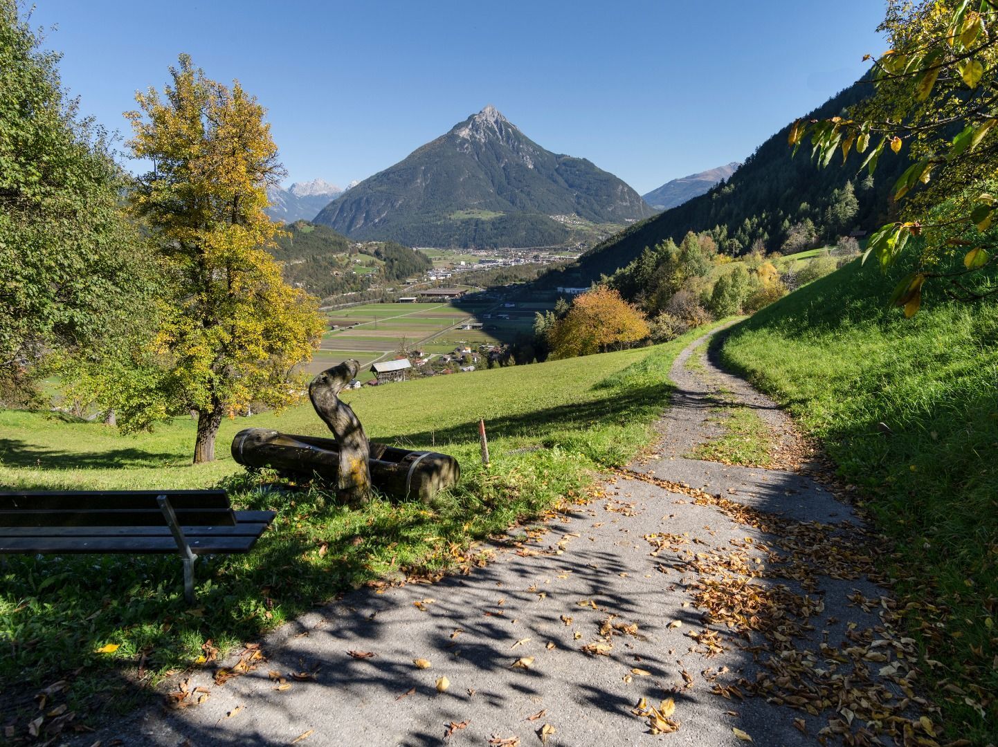
Imsterberg (879 m)Friedhofskapelle0,0 kmAussichtsplattform Kogelweg2,2 kmNothelferkapelle3,3 kmAu3,5 kmGasthaus Alpenrose3,6 kmGschnallenhöfe6,1 kmWallfahrtskirche Maria Schnee8,3 kmGasthof St. Hubertus8,5 kmLaurentiuskirche12,3 kmSpielscheune12,4 kmJohanneskirche12,5 kmImst (827 m)12,5 km
- Korkein kohta
- 1.034 m
- Kohde
-
Gemeindeamt Imsterberg
- Korkeusprofiili
-


- Kirjoittaja
-
Kiertue Abschnitt 3a: Imsterberg – Imst käyttää outdooractive.com toimitettu.
GPS Downloads


Lisää retkiä alueilla
-
Outdoorregion Imst
1234
-
Imsterberg
244