© Tourismusverband Region Hall-Wattens - Hall Wattens

© Tourismusverband Region Hall-Wattens - Hall Wattens

© Tourismusverband Region Hall-Wattens - Hall Wattens

© Tourismusverband Region Hall-Wattens - Hall Wattens

© Tourismusverband Region Hall-Wattens - Hall Wattens

© Tourismusverband Region Hall-Wattens - Hall Wattens

© Tourismusverband Region Hall-Wattens - Hall Wattens

© Tourismusverband Region Hall-Wattens - Hall Wattens

© Tourismusverband Region Hall-Wattens - Hall Wattens
- Lyhyt kuvaus
-
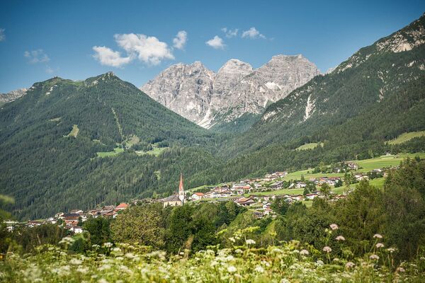
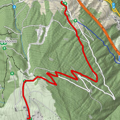
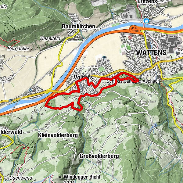
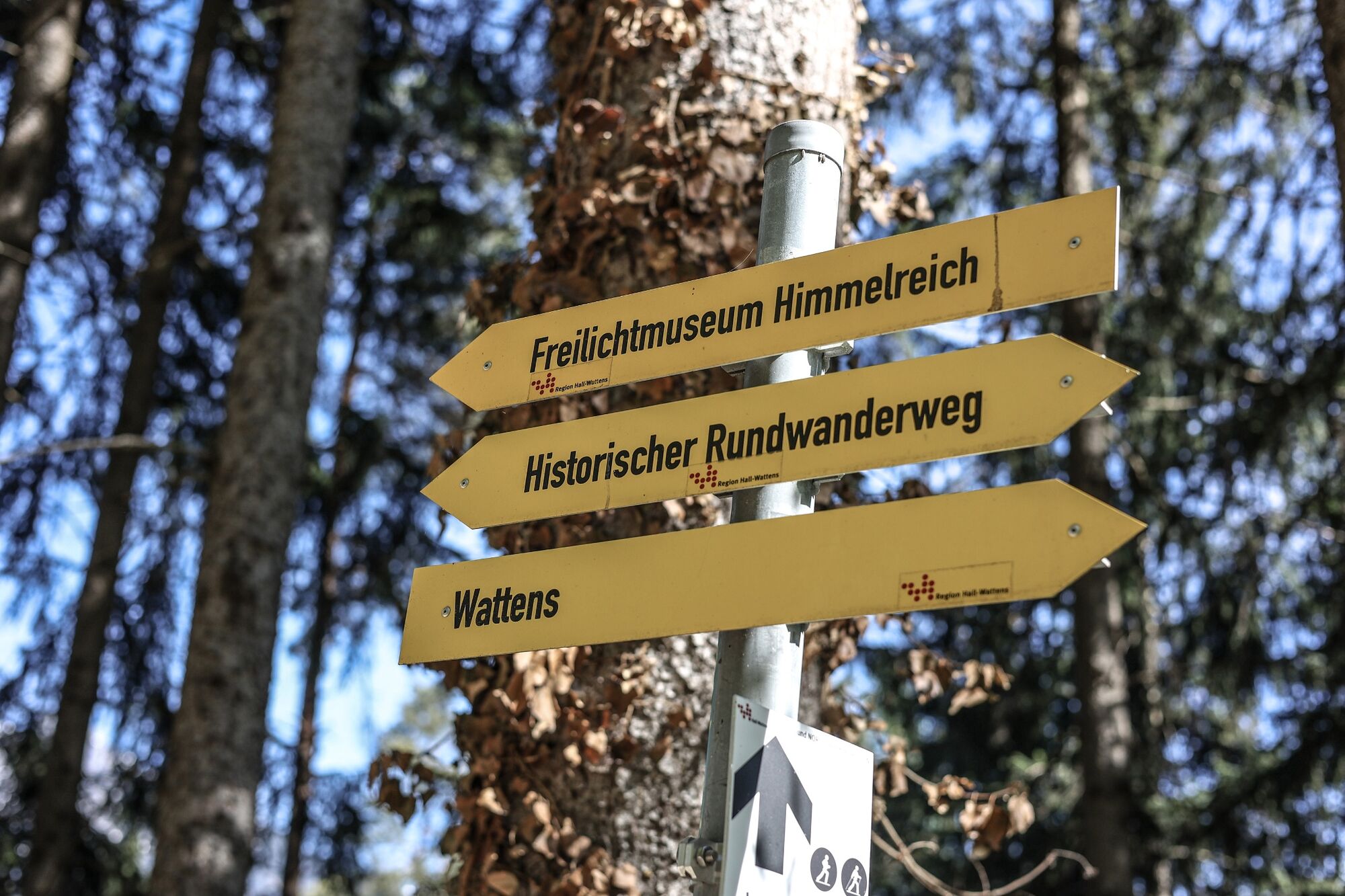
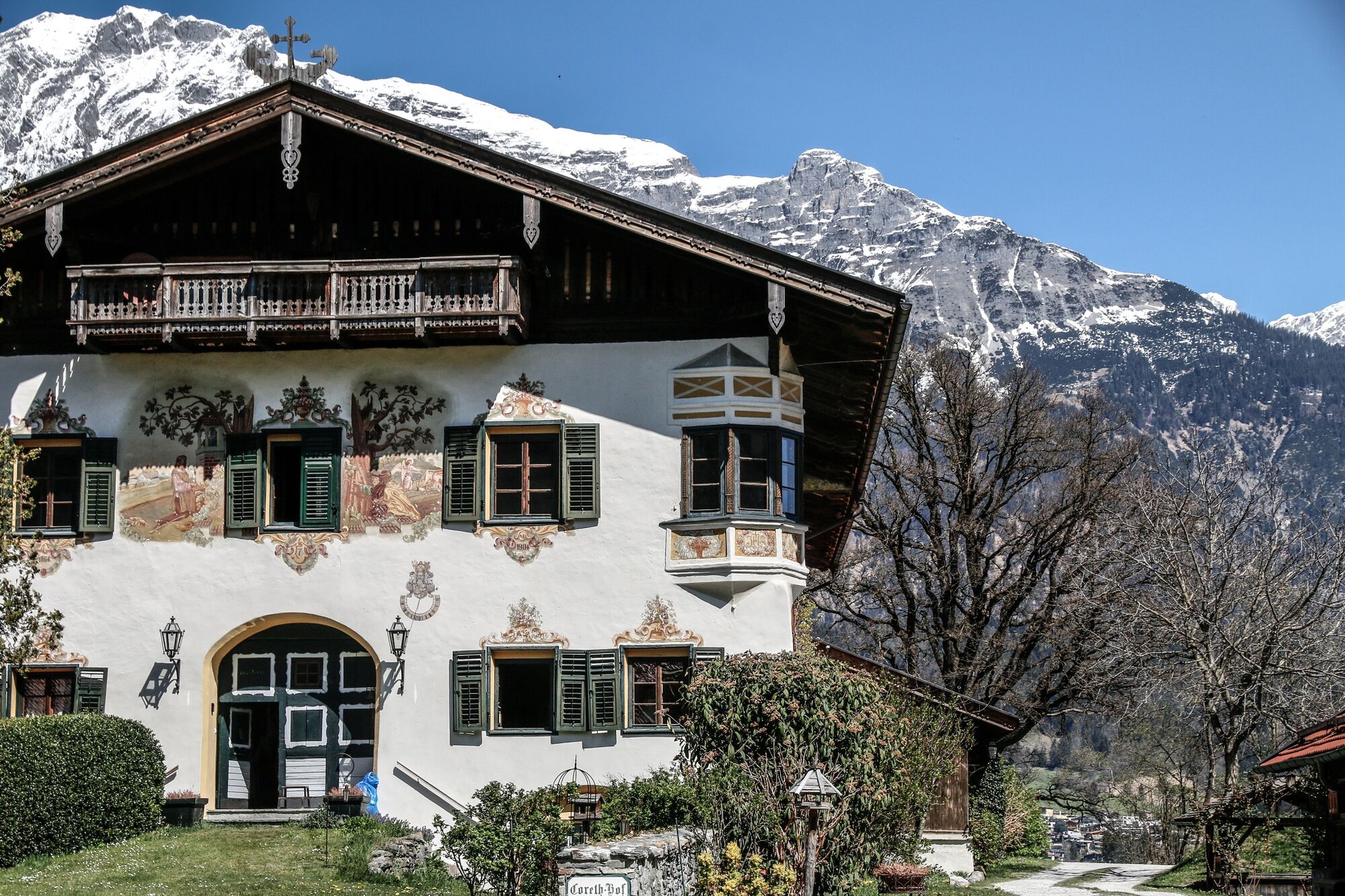
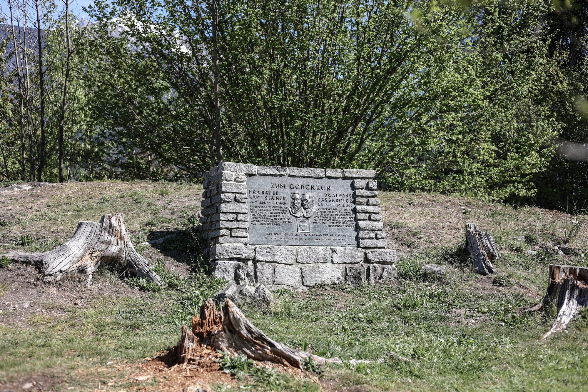
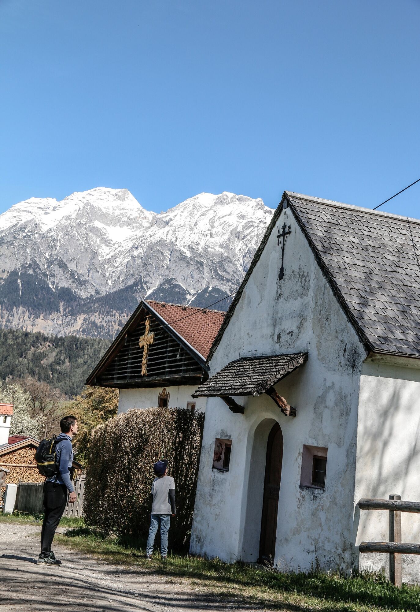
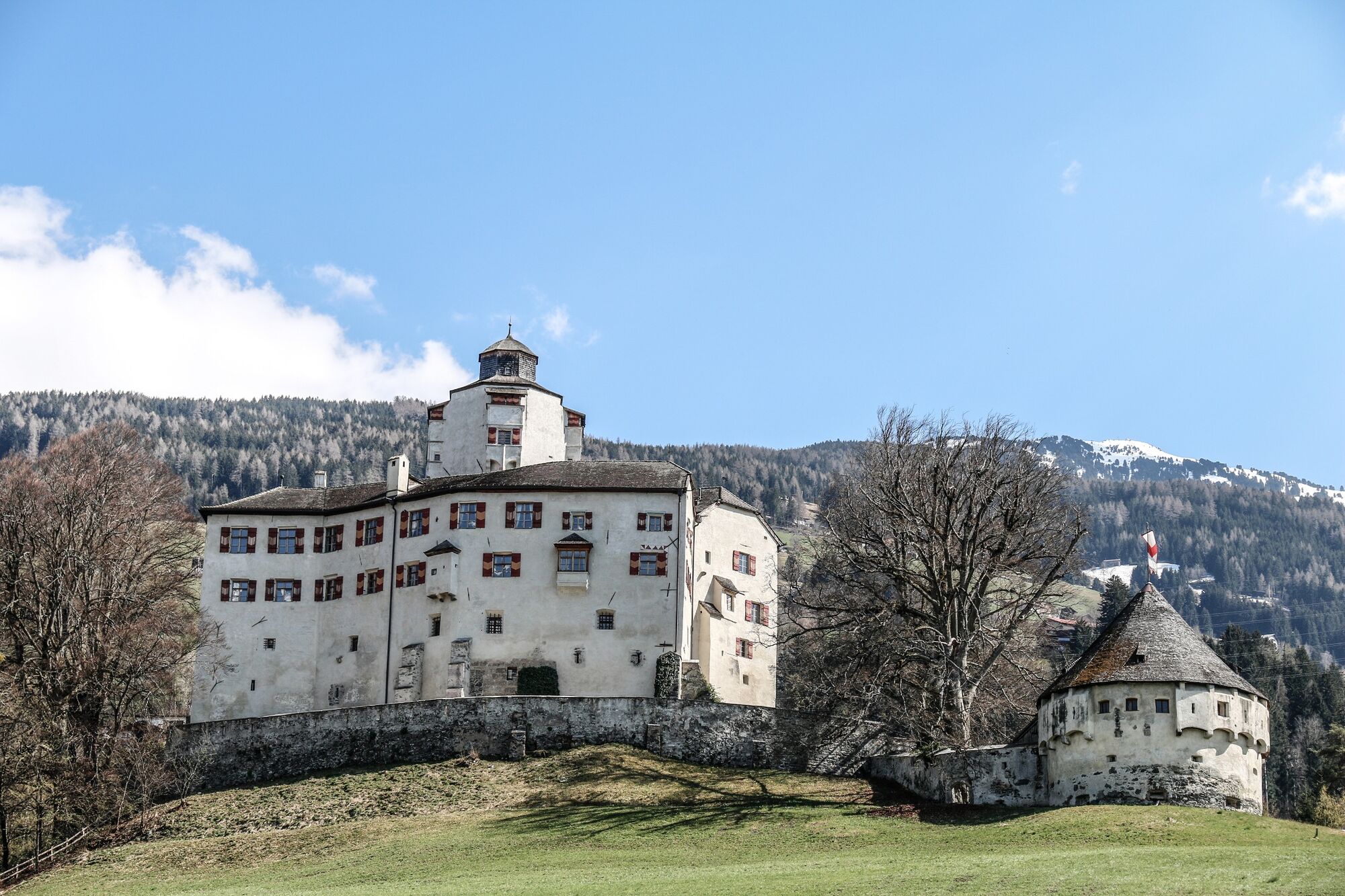
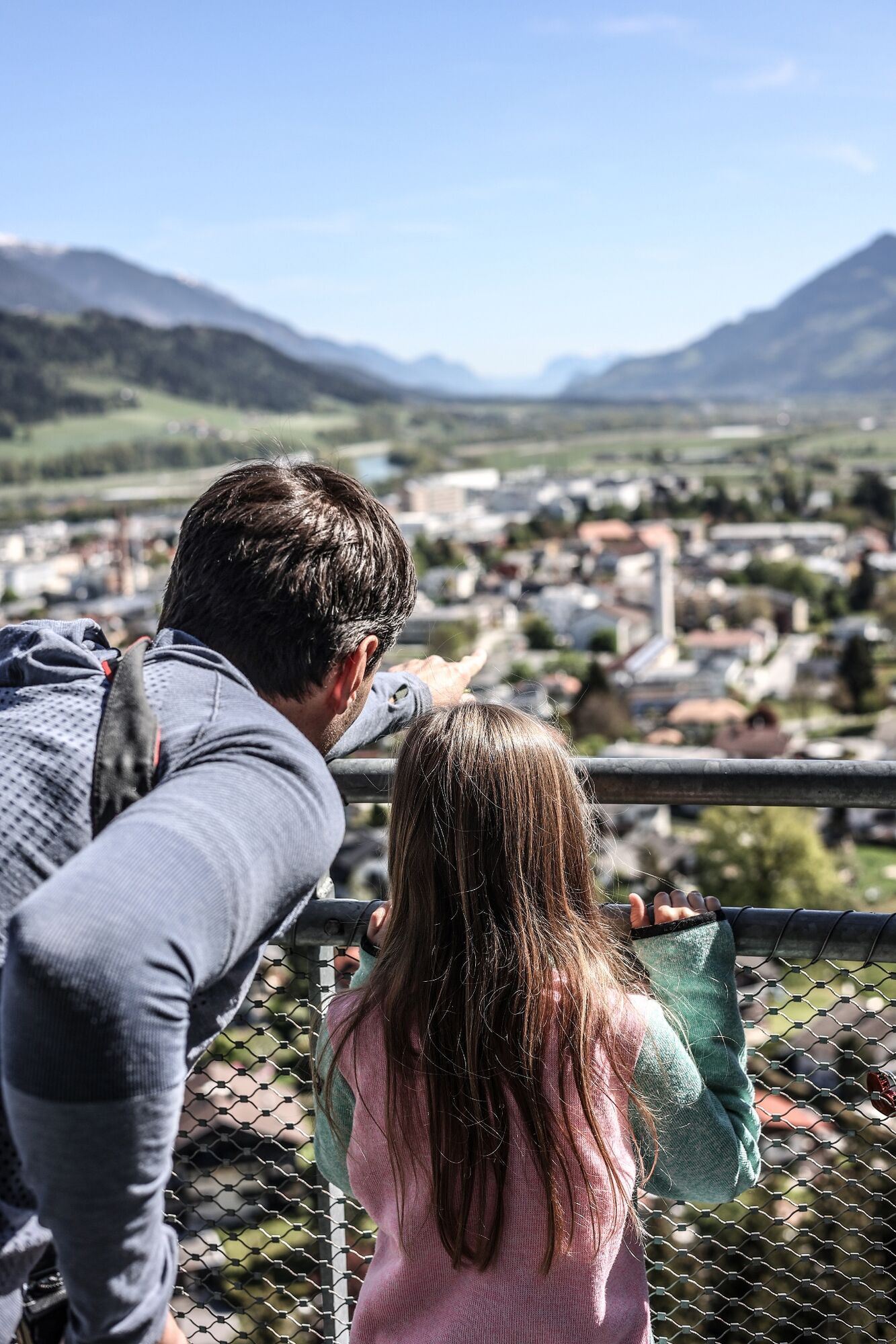
No other region in the Tyrol's Inn Valley can boast so many places of cultural interest as the area between Volders and Wattens. To allow visitors to the region to explore these places on foot, a circular walk, approx. 10km in length, has been created
- Vaikeus
-
helppo
- Arviointi
-
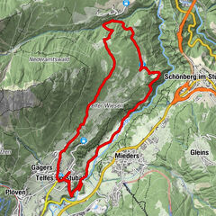
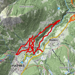
- Reitti
-
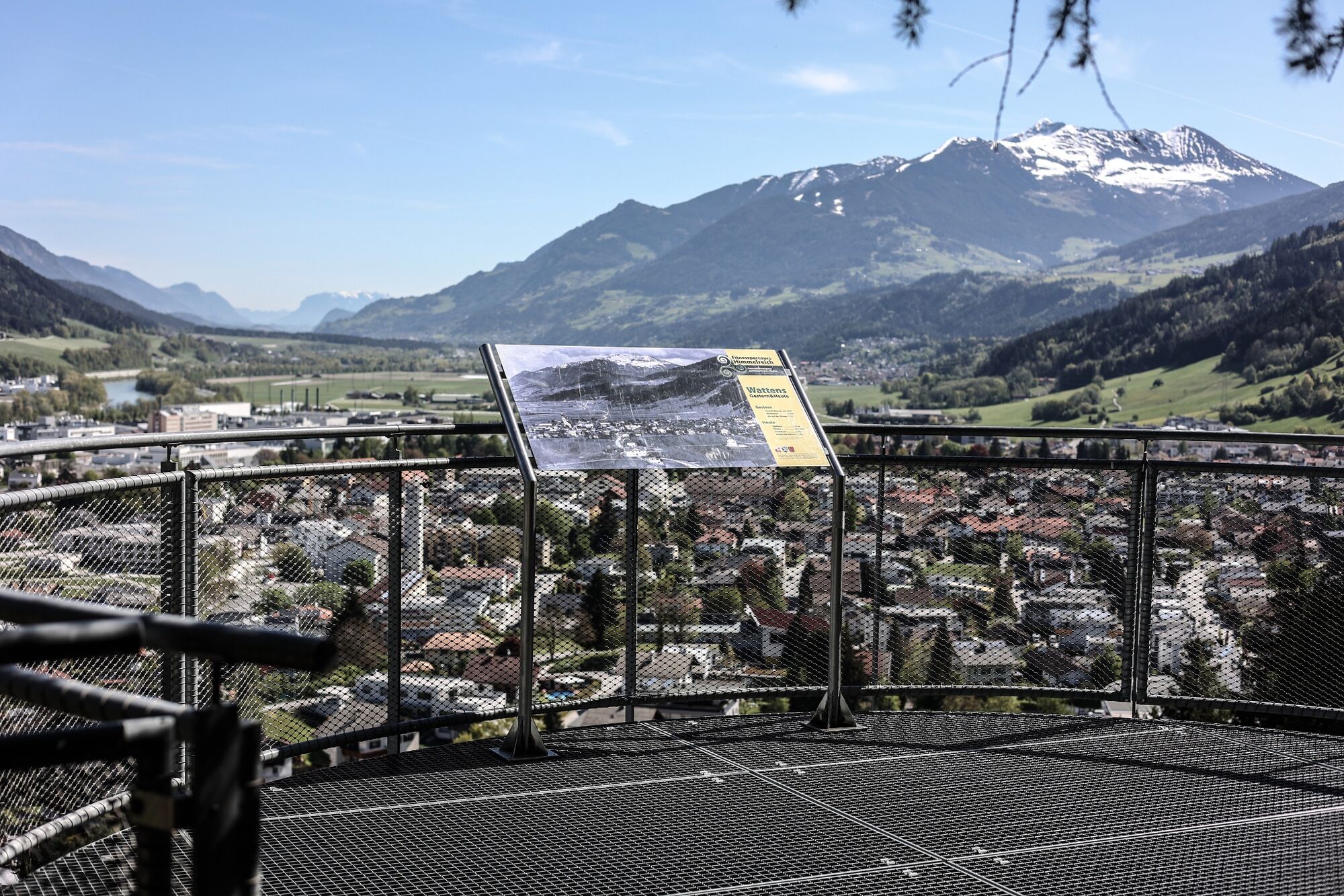
Karlskirche0,1 kmBuggl3,7 kmWattens (564 m)4,5 kmPizzeria Del Sole5,5 kmPfarrkirche hl. Johannes dem Täufer6,3 kmCafe Bräu6,4 kmVolders (558 m)6,4 km
- Paras kausi
-
tammihelmimaalishuhtitoukokesäheinäelosyyslokamarrasjoulu
- Korkein kohta
- 660 m
- Kohde
-
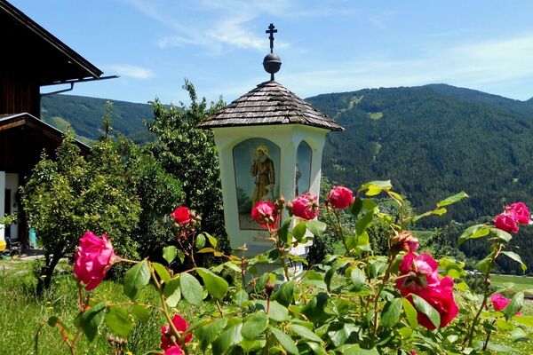
Marienkirche/Wattens
- Korkeusprofiili
-


- Kirjoittaja
-
Kiertue Historical circular walk käyttää outdooractive.com toimitettu.
GPS Downloads


Yleistä tietoa
Kulttuuri/Historiallinen
Lisää retkiä alueilla
-
Ferienregion Hall - Wattens
1479
-
Volders
321