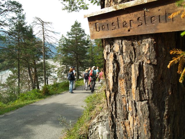
© Panoramahotel Talhof - Tanja Weirather

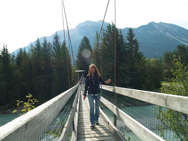
© TVB Lechtal - Günter Salchner

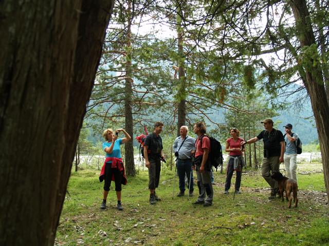
© Panoramahotel Talhof - Tanja Weirather

© Panoramahotel Talhof - Tanja Weirather

- Lyhyt kuvaus
-
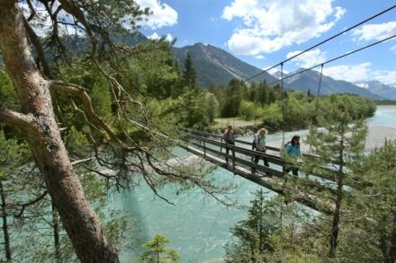
Bei dieser Wanderung entdecken Sie eine atemberaubende Landschaft, die von menschlichen Eingriffen fast zur Gänze verschont blieb. Der „Letzte Wilde“ zeigt in besonderer Weise.
- Vaikeus
-
helppo
- Arviointi
-
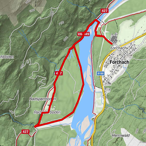
- Reitti
-
Forchach (910 m)Viele Brunnen1,0 kmFeldele2,3 kmViele Brunnen5,1 kmForchach (910 m)6,1 km
- Paras kausi
-
tammihelmimaalishuhtitoukokesäheinäelosyyslokamarrasjoulu
- Korkein kohta
- 937 m
- Kohde
-
Parkplatz Fa. Urban
- Korkeusprofiili
-

- Kirjoittaja
-
Kiertue Naturpark Tiroler LECH | Wildflusslandschaft in Forchach käyttää outdooractive.com toimitettu.
GPS Downloads


Yleistä tietoa
Sisäpiirin vinkki
Flora
Fauna
Lisää retkiä alueilla
-
Tannheimer Tal
1454
-
Forchach
398