© TVB Kufsteinerland - Sven Roscher

© TVB Kufsteinerland - Sven Roscher

© TVB Kufsteinerland - SvenFotografiert

- Lyhyt kuvaus
-
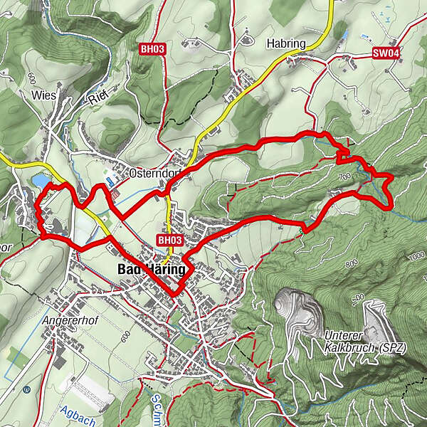
Five stations invite you to walk through the Bad Häringer legends.
- Vaikeus
-
helppo
- Arviointi
-
- Reitti
-
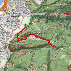
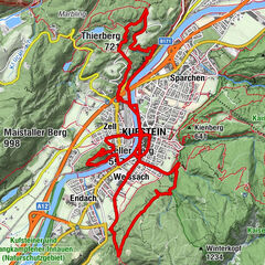
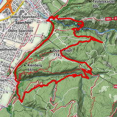
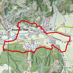
Bad HäringHäringer Wasserfall2,7 kmLourdeskapelle3,9 kmOsterndorf4,0 kmAntoniuskapelle4,3 kmPölvenblick4,5 kmHildegardkapelle5,2 kmBad Häring6,3 km
- Paras kausi
-
tammihelmimaalishuhtitoukokesäheinäelosyyslokamarrasjoulu
- Korkein kohta
- 750 m
- Kohde
-
Village centre Bad Häring
- Korkeusprofiili
-


- Kirjoittaja
-
Kiertue Legend trail - Bad Häring tour käyttää outdooractive.com toimitettu.
GPS Downloads


Lisää retkiä alueilla
-
Region Hohe Salve
1812
-
Bad Häring
521