

© Wanderhotels - Udo Bernhardt Wanderhotels

© Wanderhotels - Udo Bernhardt Wanderhotels

© Wanderhotels - Udo Bernhardt Wanderhotels

© Wanderhotels - Udo Bernhardt Wanderhotels

© Wanderhotels - Udo Bernhardt Wanderhotels

- Lyhyt kuvaus
-
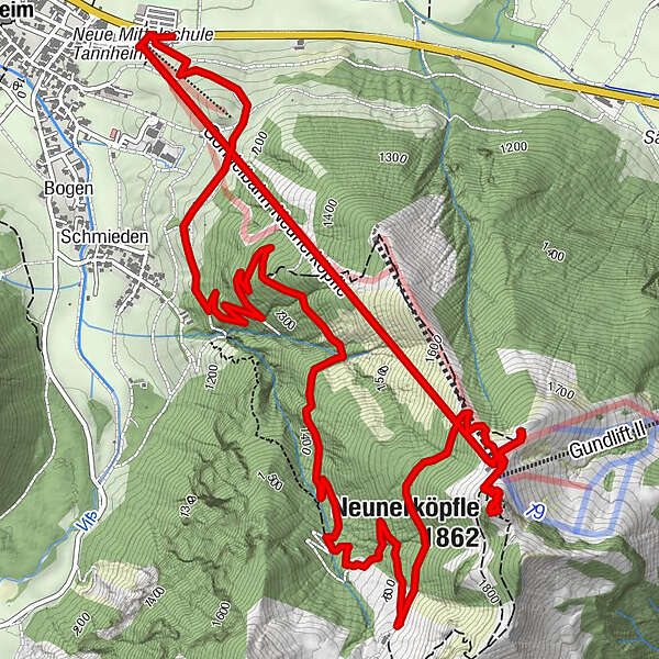
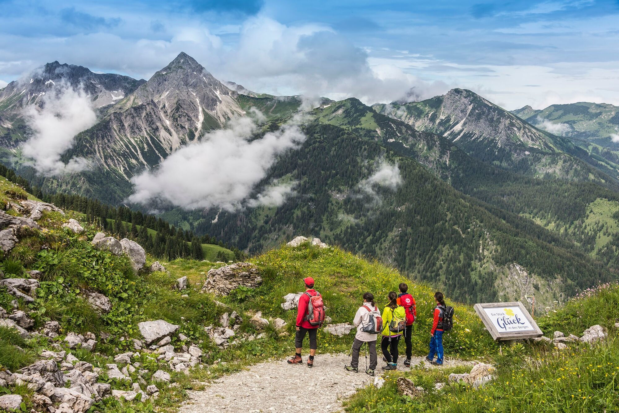
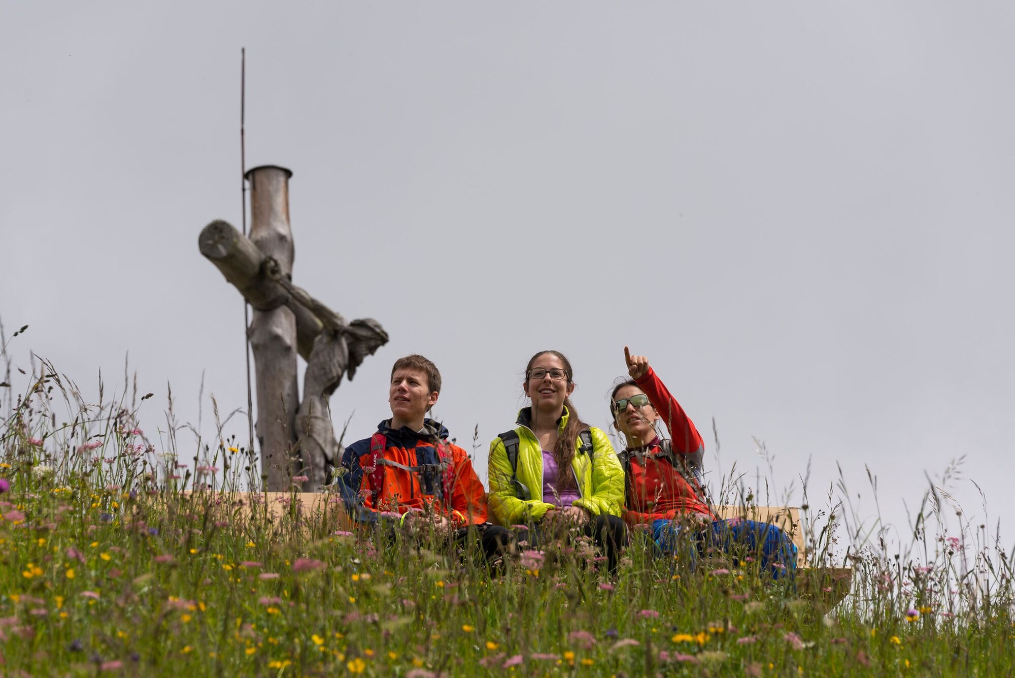
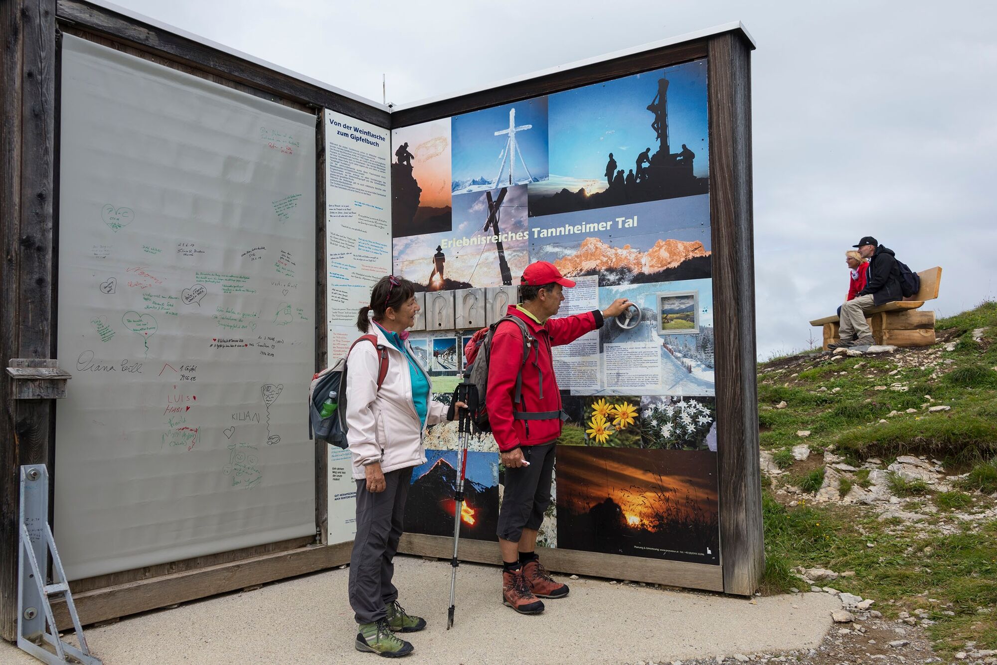
Easy hike on the trail to the summit - with the gondola downhill
- Reitti
-
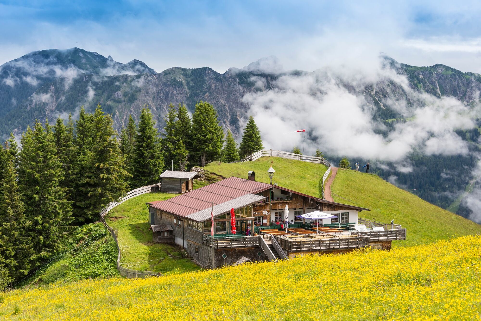
Urfall1,7 kmNeunerköpfle (1.862 m)6,9 kmGundhütte7,5 kmGondelbahn Neunerköpfle7,8 kmGondelbahn Neunerköpfle8,7 km
- Korkein kohta
- 1.819 m
- Korkeusprofiili
-

-

-
KirjoittajaKiertue Neunerköpfle 1864 m käyttää outdooractive.com toimitettu.
GPS Downloads


Lisää retkiä alueilla
-
Allgäu
2362
-
Tannheimer Tal
1459
-
Tannheim
519


