
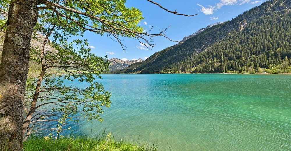
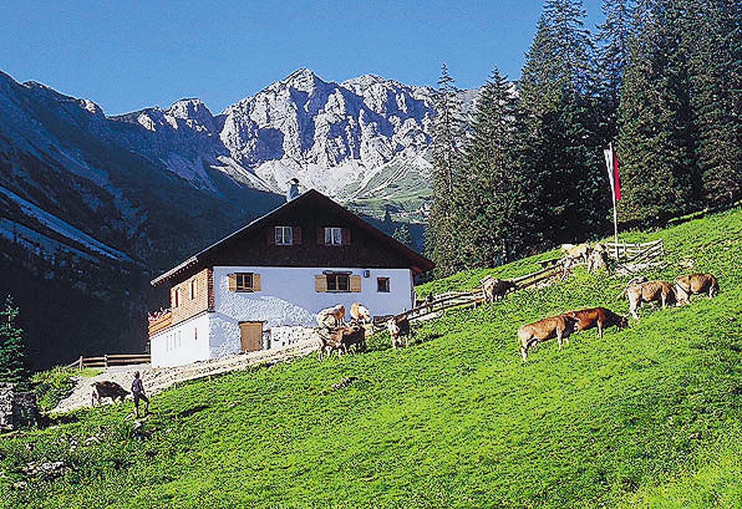
© Tannheimer Tal - Achim Meurer
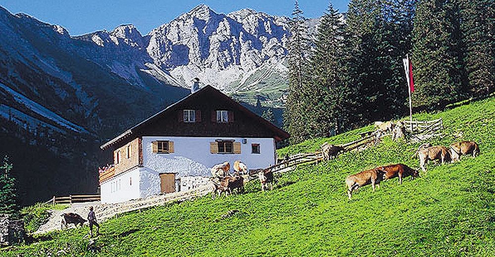
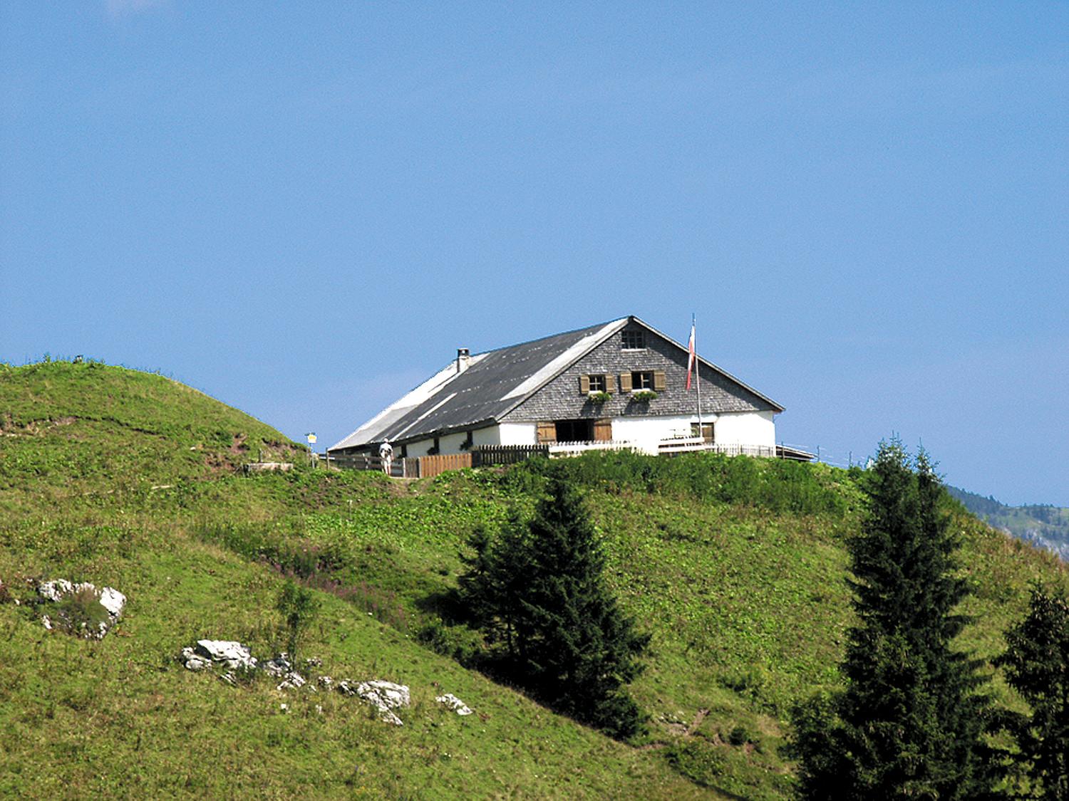
© Tannheimer Tal - Michael Keller
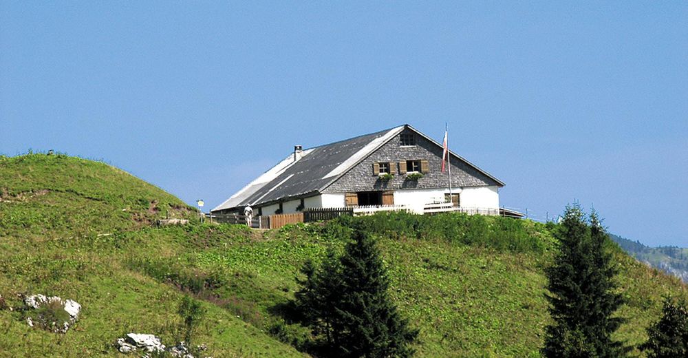
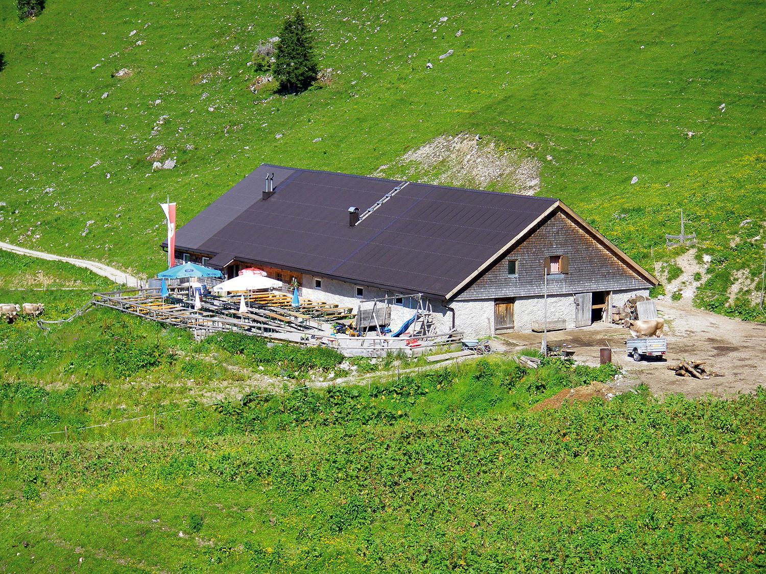
© Tannheimer Tal - Michael Keller
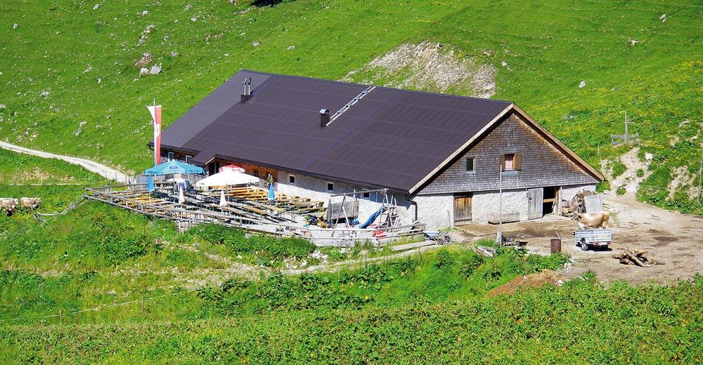
© Tannheimer Tal - Michael Keller

© Outdooractive Premium - Hartmut Wimmer
- Lyhyt kuvaus
-
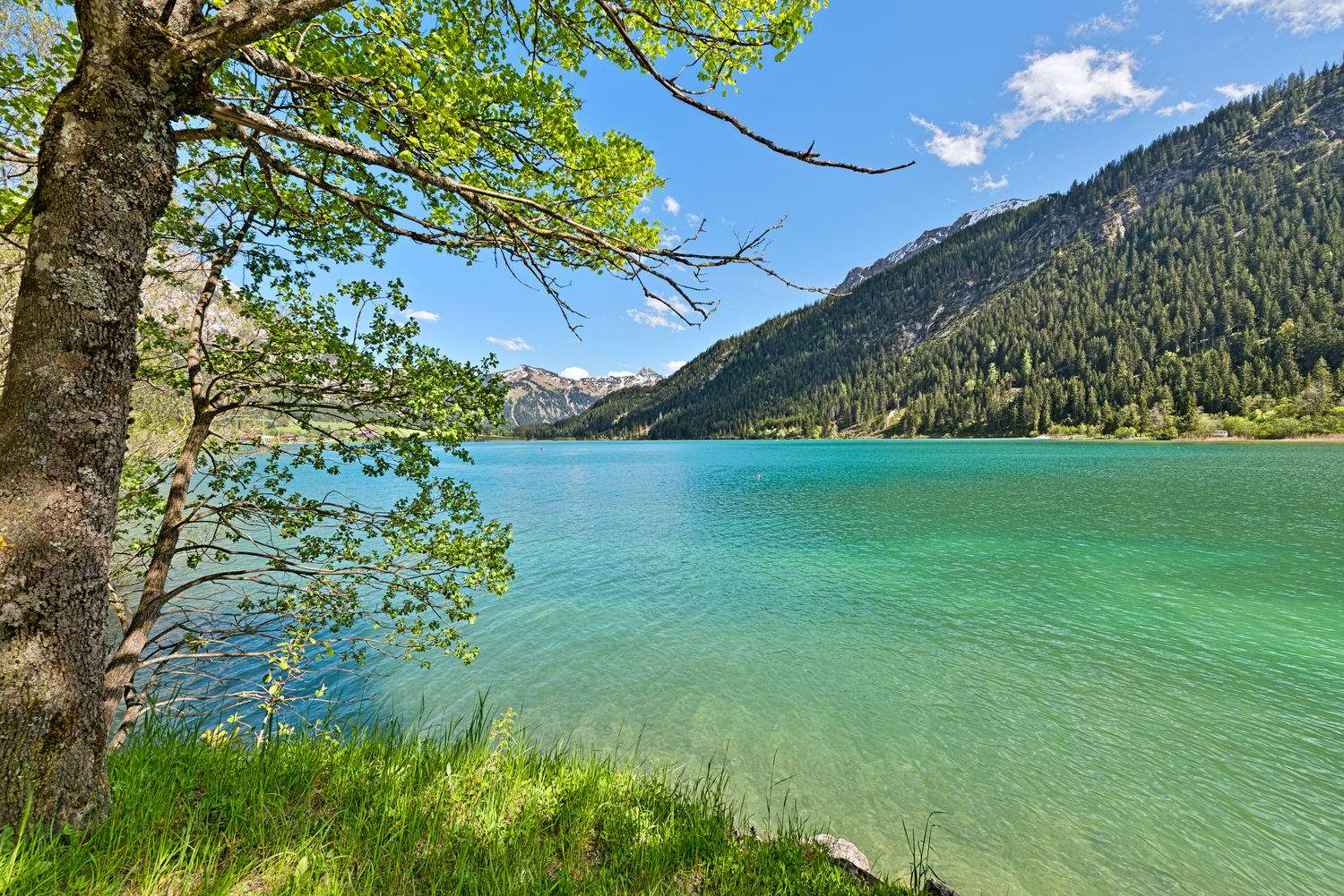
A hike with a magnificent panorama.
- Vaikeus
-
tapa
- Arviointi
-
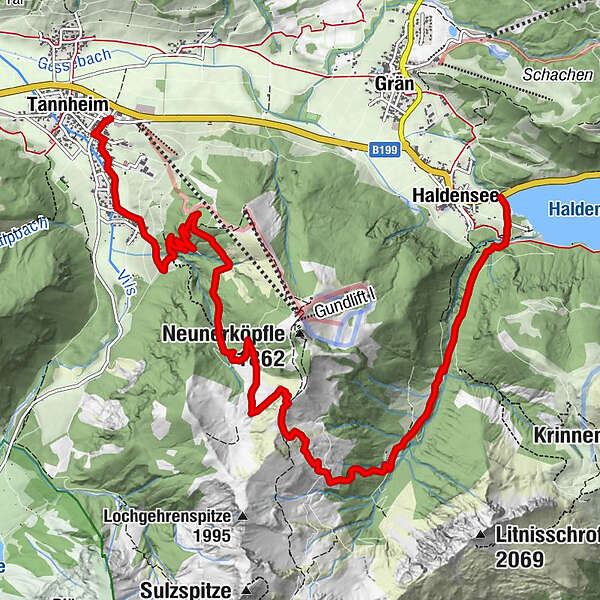
- Reitti
-
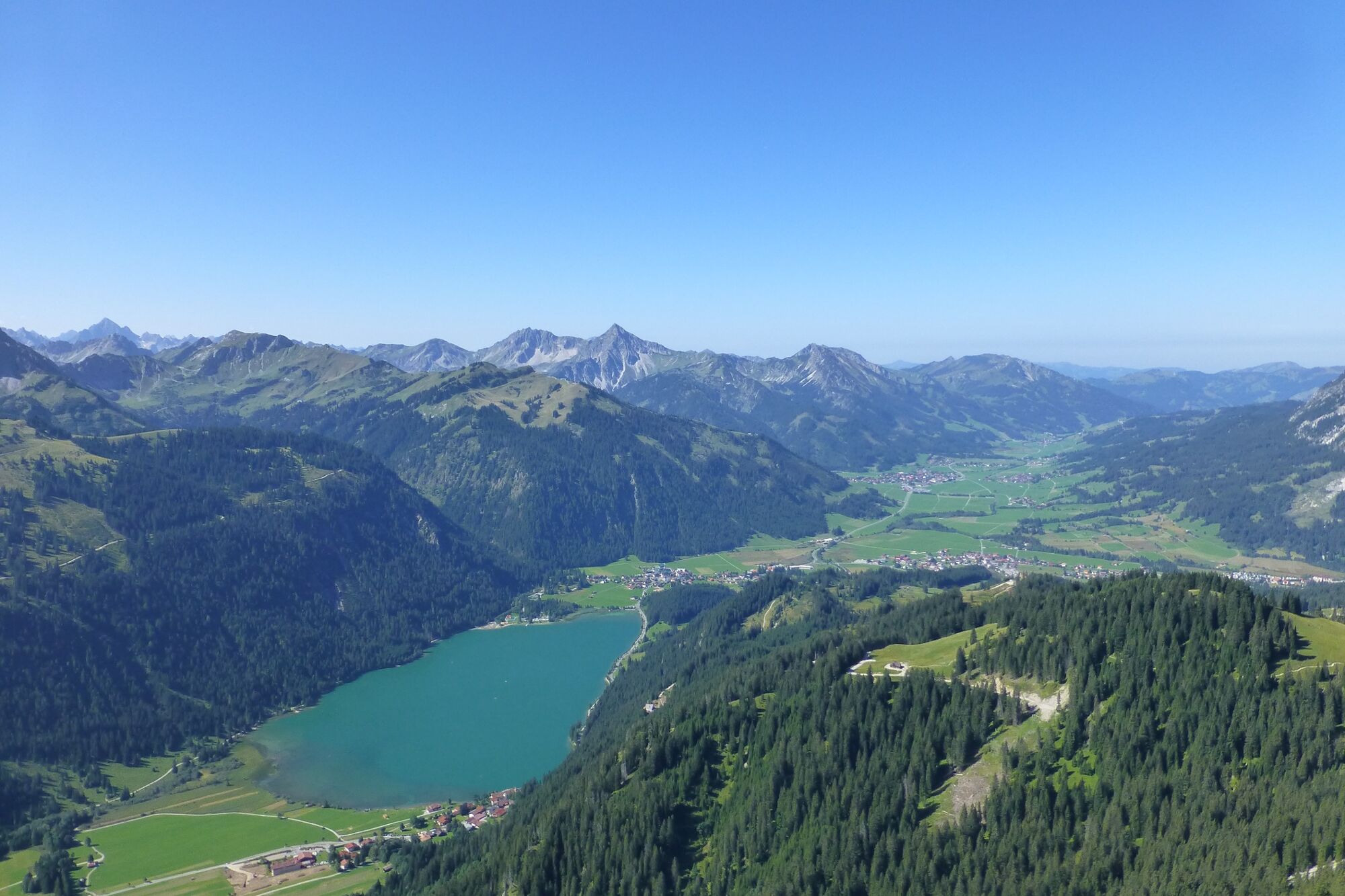
HaldenseeStrindental1,6 kmStrindenalpe3,6 kmUsseralpe5,4 kmUrfall9,2 kmSchmieden10,1 kmBogen10,3 kmTannheim (1.097 m)10,9 km
- Paras kausi
-
tammihelmimaalishuhtitoukokesäheinäelosyyslokamarrasjoulu
- Korkein kohta
- 1.818 m
- Kohde
-
Tannheim roundabout traffic
- Korkeusprofiili
-

- Kirjoittaja
-
Kiertue Edenbachalpe - Obere Strindenalpe - Usseralpe käyttää outdooractive.com toimitettu.
GPS Downloads


Yleistä tietoa
Virvokepysäkki
Flora
Fauna
Lisää retkiä alueilla
-
Allgäu
2357
-
Tannheimer Tal
1454
-
Grän-Haldensee - Füssener Jöchle
567


