


Retkitiedot
9,2km
1.659
- 2.105m
500hm
500hm
02:21h

- Lyhyt kuvaus
-
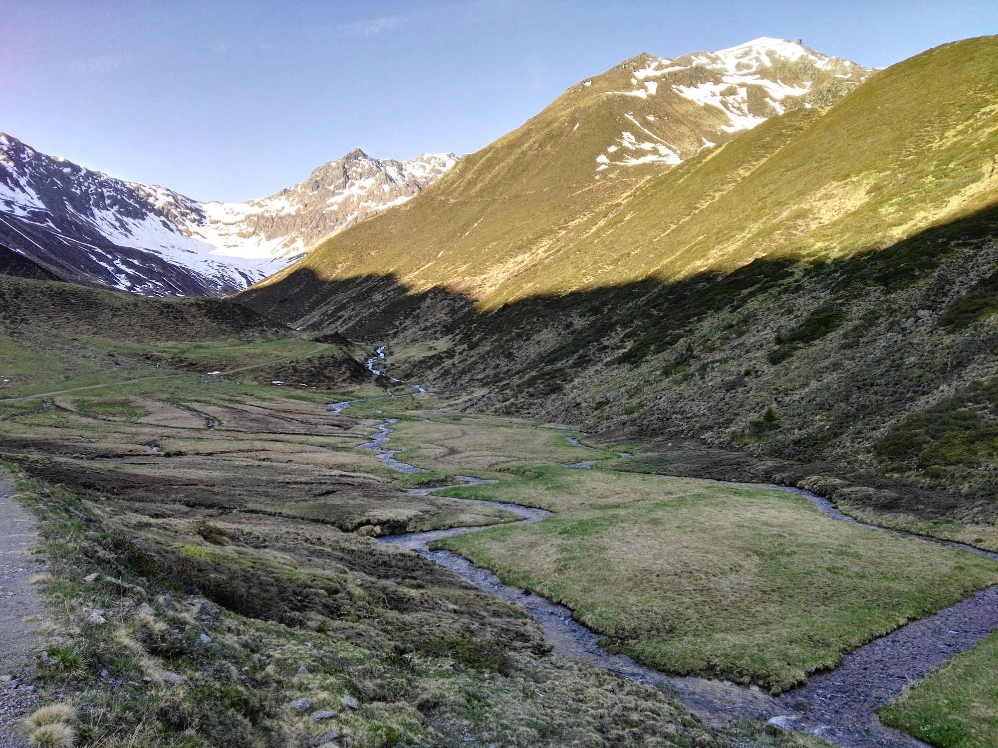
Einfache Rundwanderung die im Sommer auch abends was zu bieten hat
- Vaikeus
-
helppo
- Arviointi
-
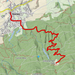
- Reitti
-
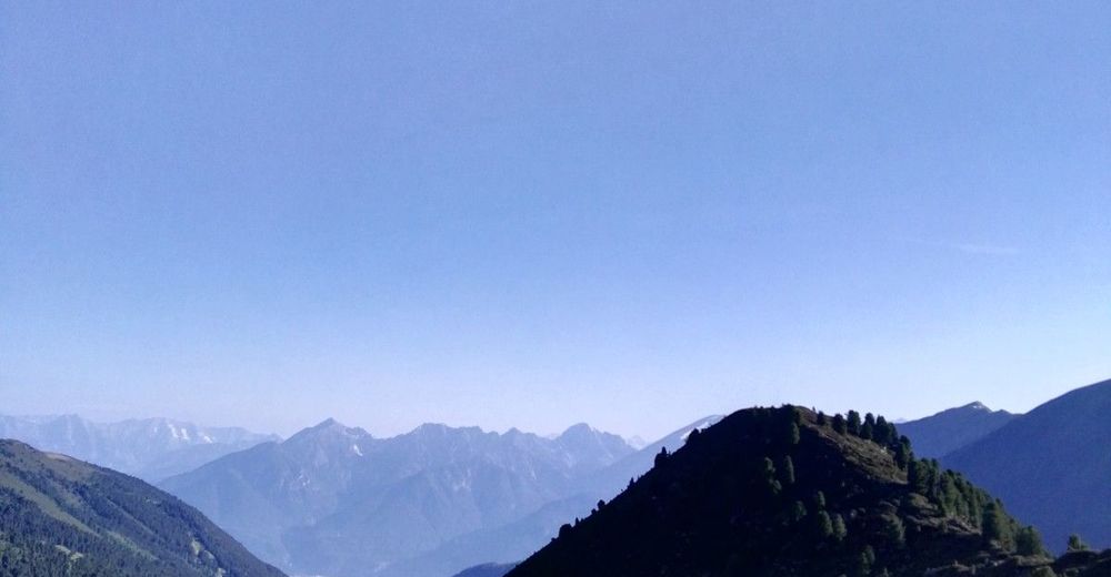
Kemater Alm0,1 kmSonntagsköpfl (2.100 m)6,2 kmObere Isse8,5 kmKemater Alm8,9 km
- Paras kausi
-
tammihelmimaalishuhtitoukokesäheinäelosyyslokamarrasjoulu
- Korkein kohta
- 2.105 m


GPS Downloads


Lisää retkiä alueilla
-
Stubaital
1213
-
Axams / Axamer Lizum
451