


- Lyhyt kuvaus
-
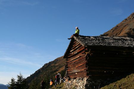
A tour with wonderful mountain scenery and far panoramaviews. At the forestry road is a confortably walk; after a precipitously and exhausting path. Start at the Lehnerjoch 2512 m 2 hours, panorama-roundway 2-3 hours, Erlager Hut 2550m 3,5 hours, Gemeindekopf 2771 m 2,5 h.
- Reitti
-
Zaunhof0,0 kmEgg1,6 kmAußerlehn2,0 kmOberlehn2,3 kmLudwigsburger Hütte6,4 km
- Korkein kohta
- 1.957 m
- Korkeusprofiili
-


- Kirjoittaja
-
Kiertue Ludwigsburger hut 1935 m käyttää outdooractive.com toimitettu.
GPS Downloads


Lisää retkiä alueilla
-
Pitztal
1067
-
Hochzeiger - Pitztal
316


