© Zillertal Tourismus - Zillertal Tourismus Autor

© Zillertal Tourismus - Zillertal Tourismus Autor
© Zillertal Tourismus - Zillertal Tourismus Autor


- Lyhyt kuvaus
-
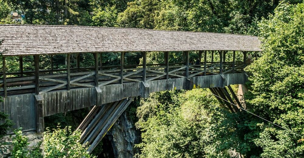
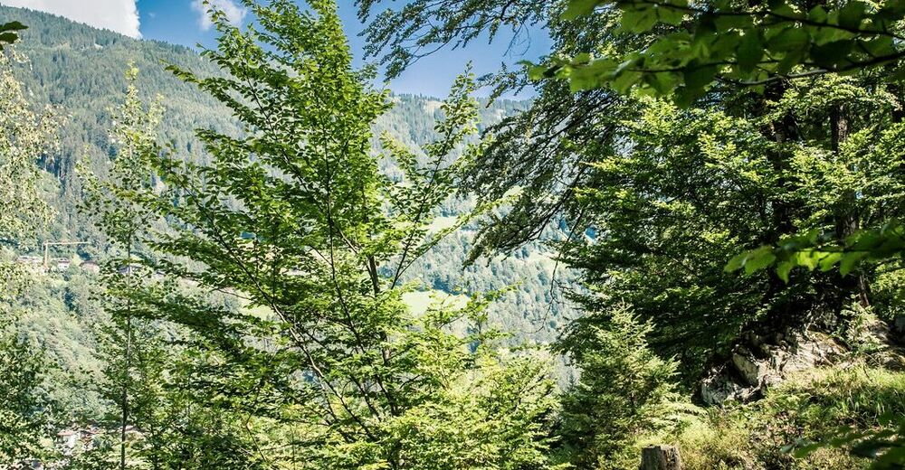
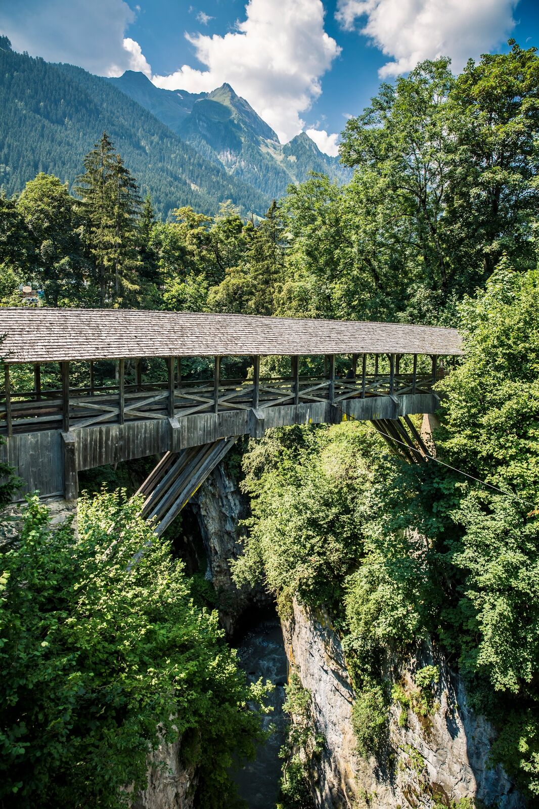
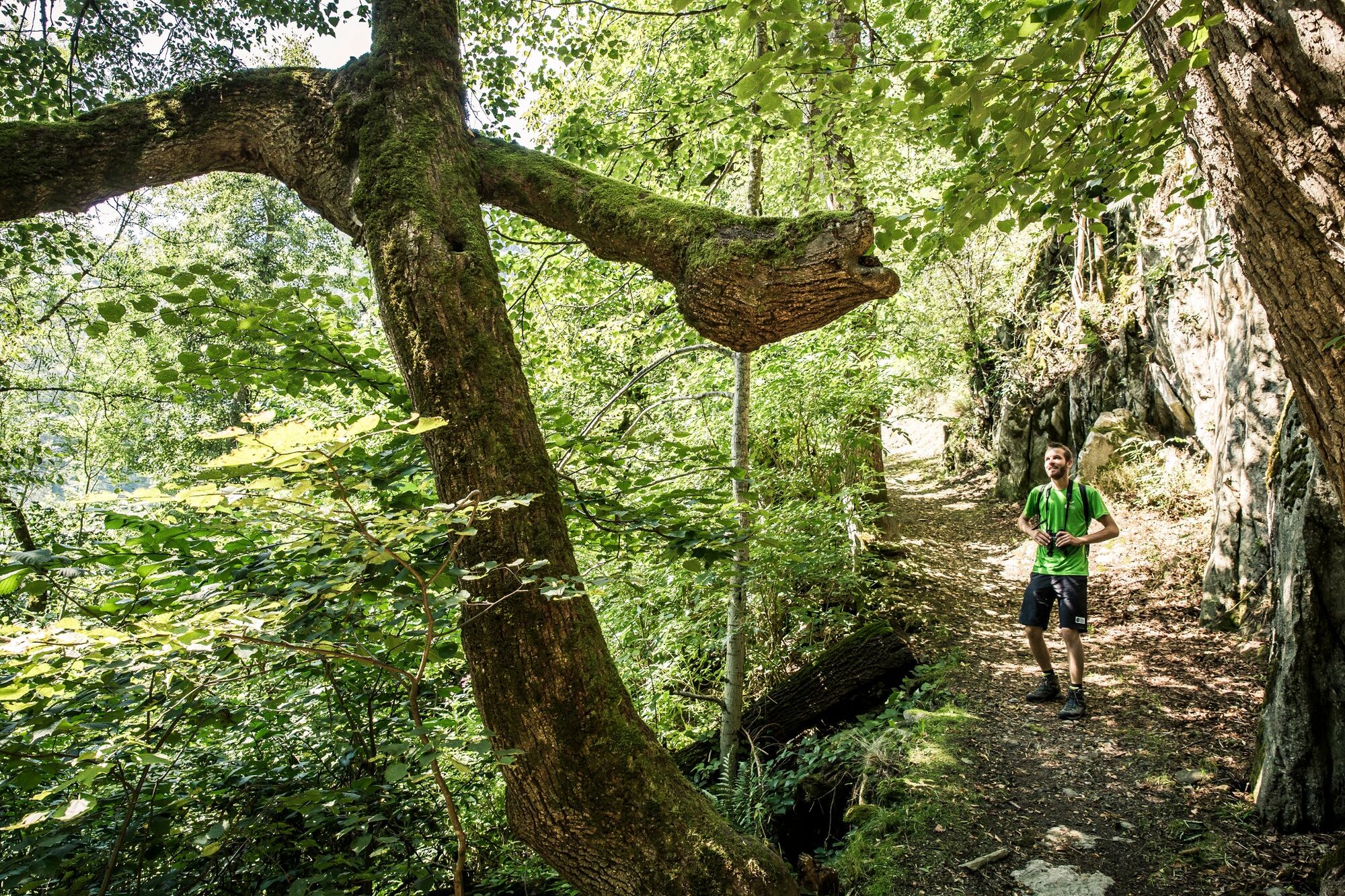
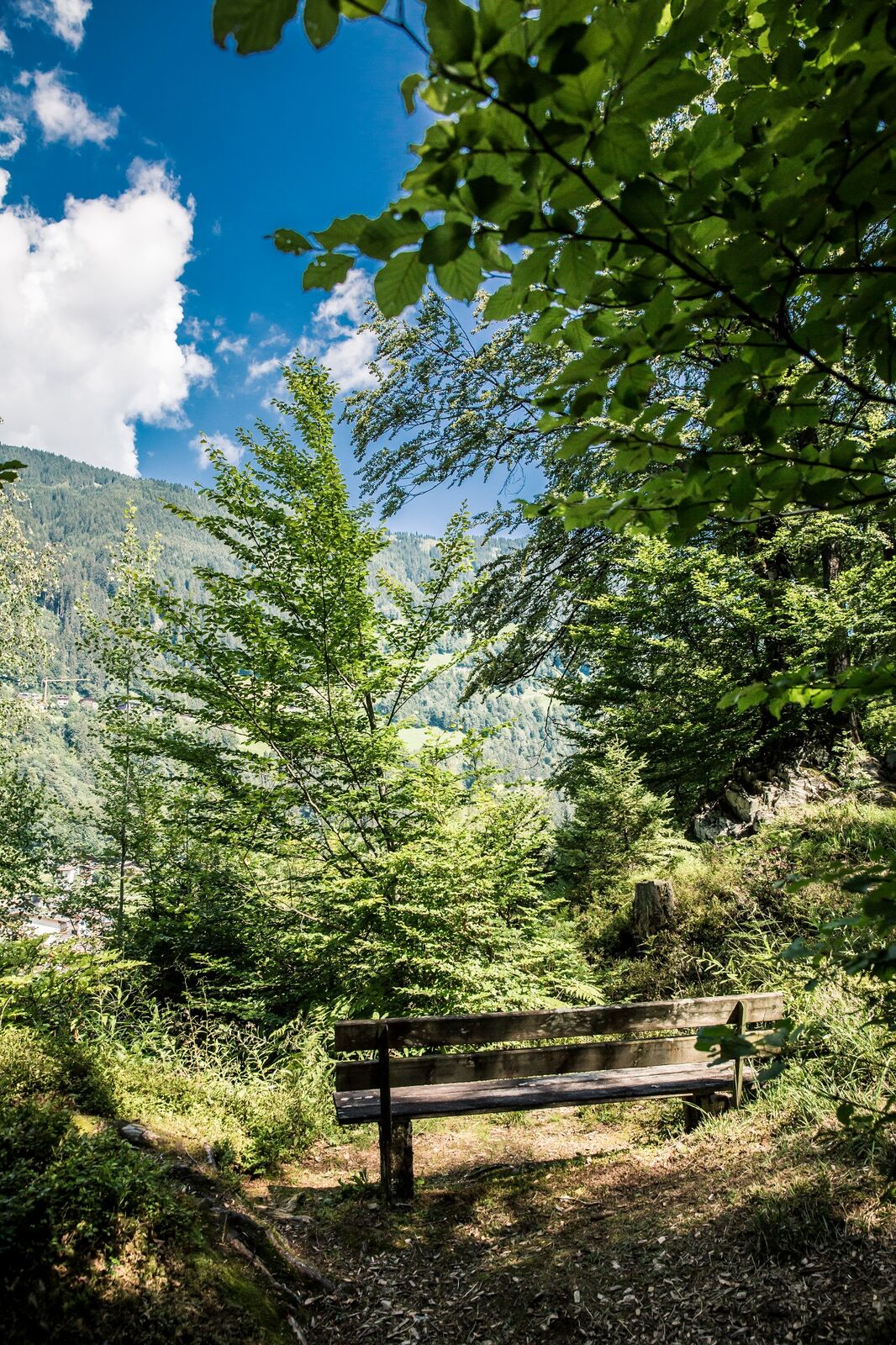
From the Teufelsbrücke (Devil's Bridge) in Finkenberg you start your tour through the nature reserve Glocke of the High Mountain Nature Park Zillertal Alps.
- Reitti
-
Finkenberg0,2 kmKapelle neuer Friedhof0,3 kmGlocke (929 m)1,5 kmDornau2,6 km
- Paras kausi
-
tammihelmimaalishuhtitoukokesäheinäelosyyslokamarrasjoulu
- Korkein kohta
- 925 m
- Kohde
-
Finkenberg
- Korkeusprofiili
-

- Kirjoittaja
-
Kiertue Nature trail Glocke käyttää outdooractive.com toimitettu.
GPS Downloads


Yleistä tietoa
Virvokepysäkki
Flora
Fauna
Lisää retkiä alueilla
-
Mayrhofen - Hippach
1023
-
Finkenberg
262