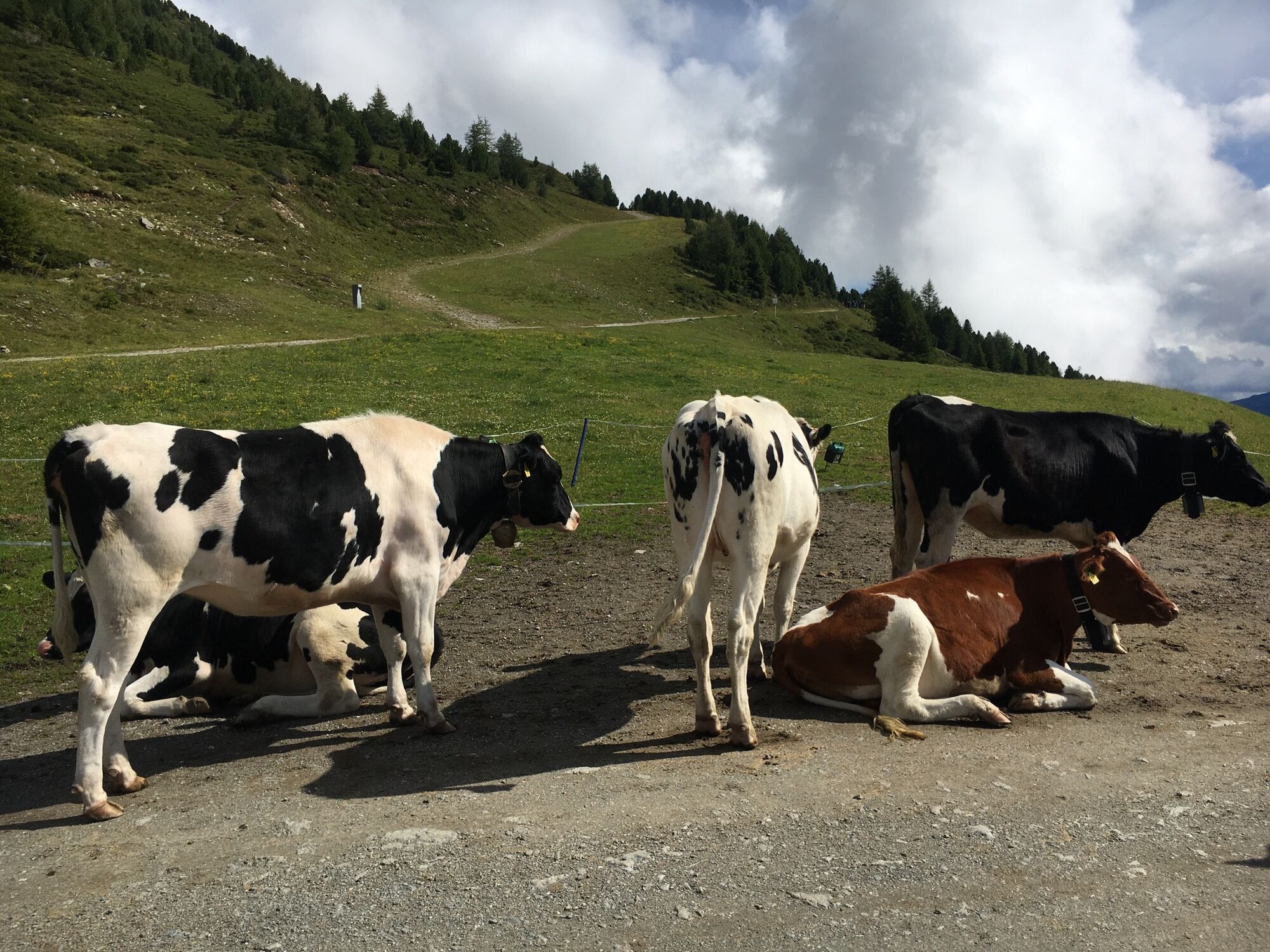
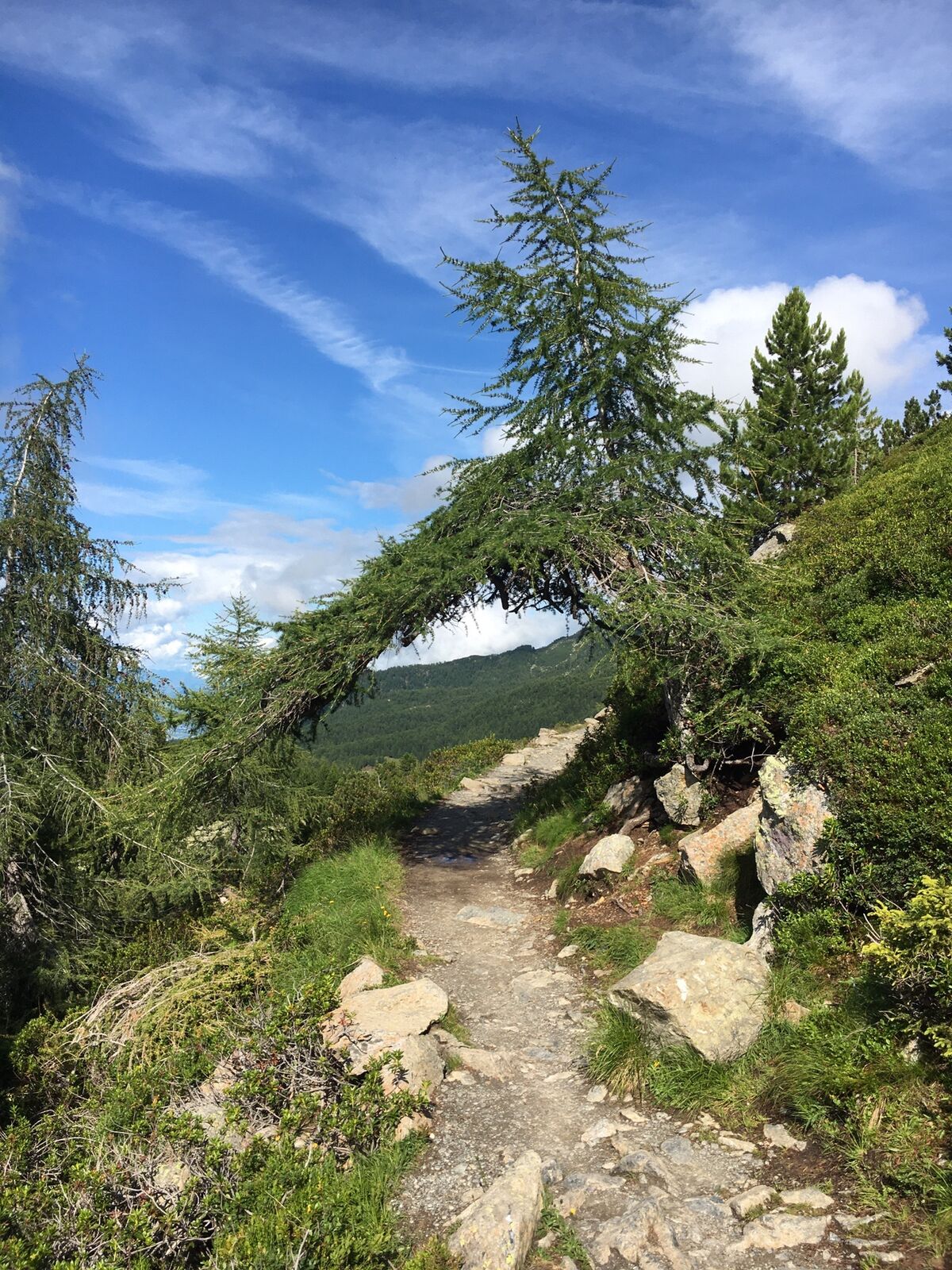
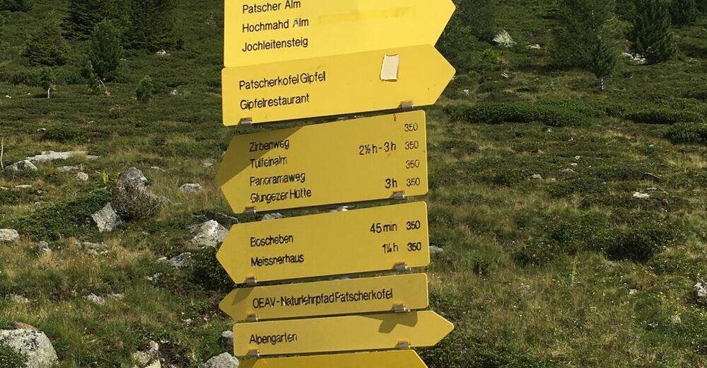
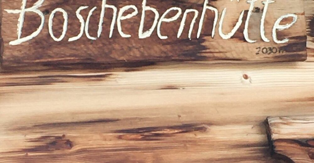
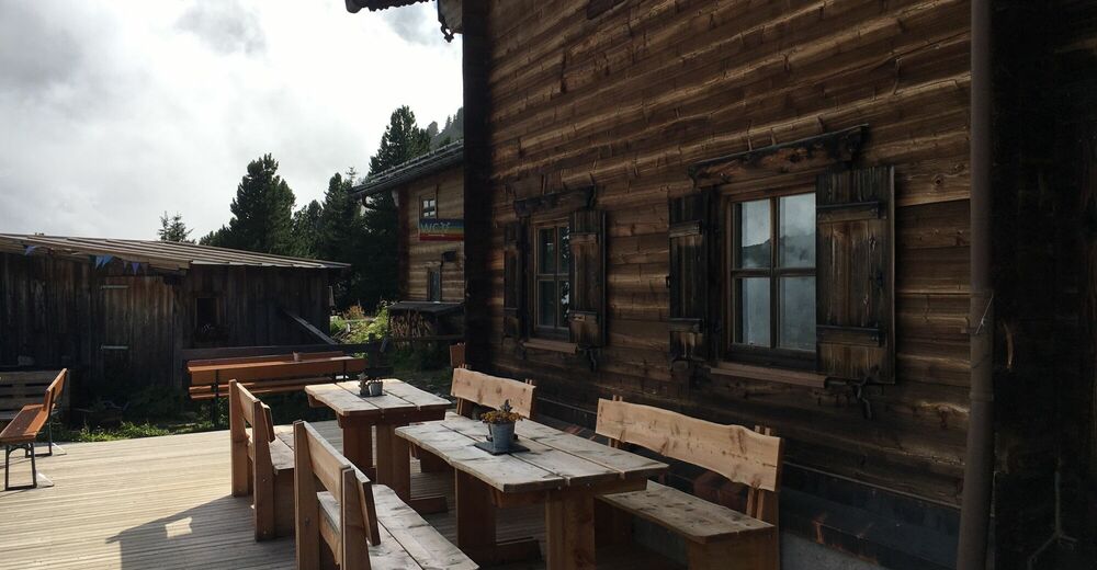
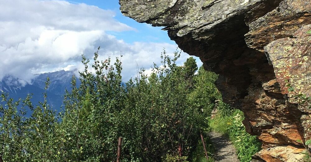
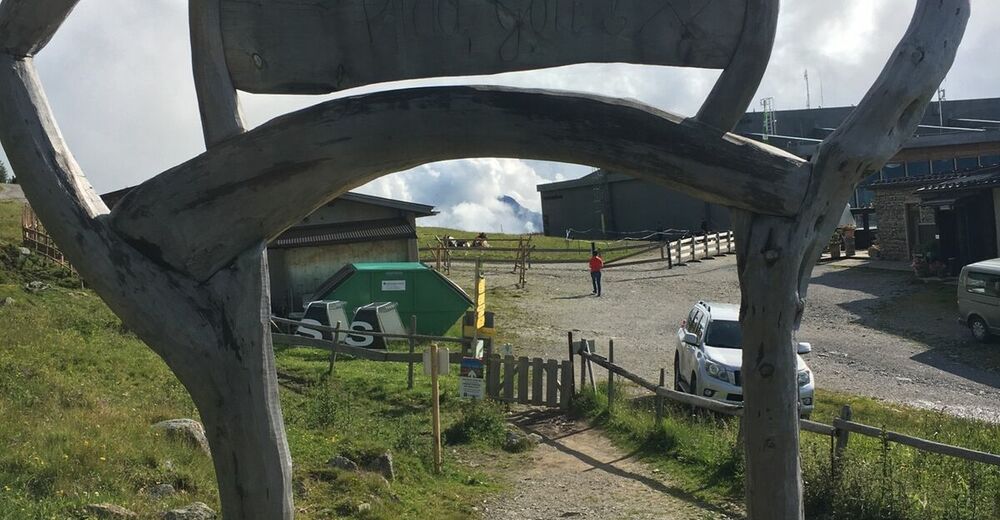
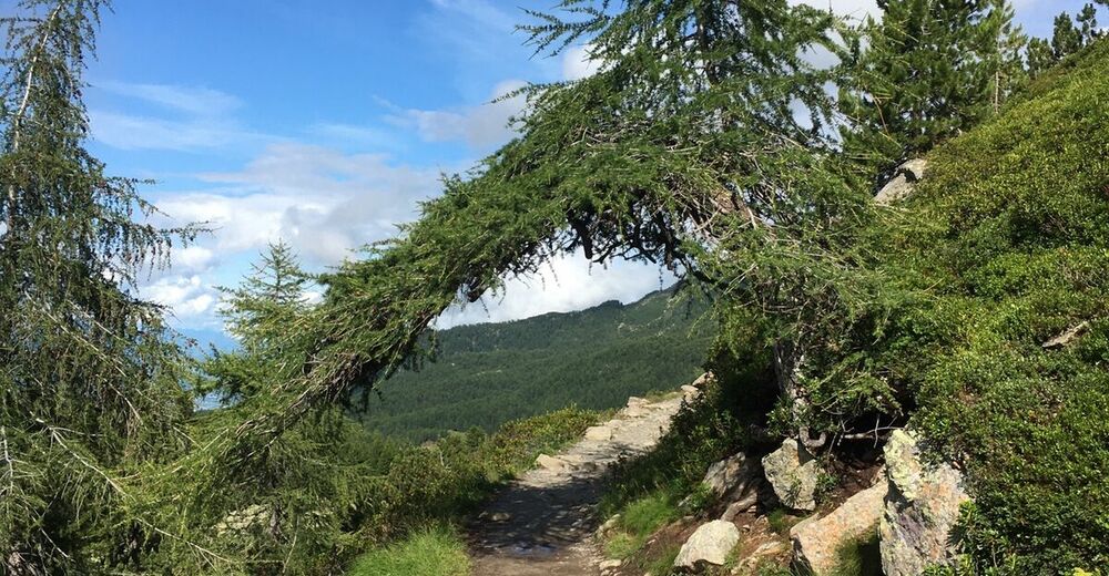
Patscherkofel-Bergstation, Zirbenweg Richtung Boschebenhütte, Tirol/Österreich


Retkitiedot
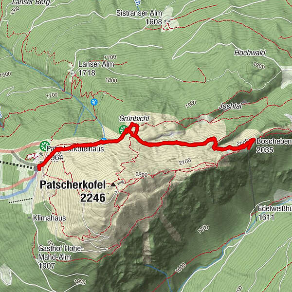
4,83km
1.961
- 2.034m
84hm
78hm
01:13h
- Lyhyt kuvaus
-
Patscherkofel-Zirbenweg-Boschebenhütte- Tirol/Österreich
- Vaikeus
-
helppo
- Arviointi
-
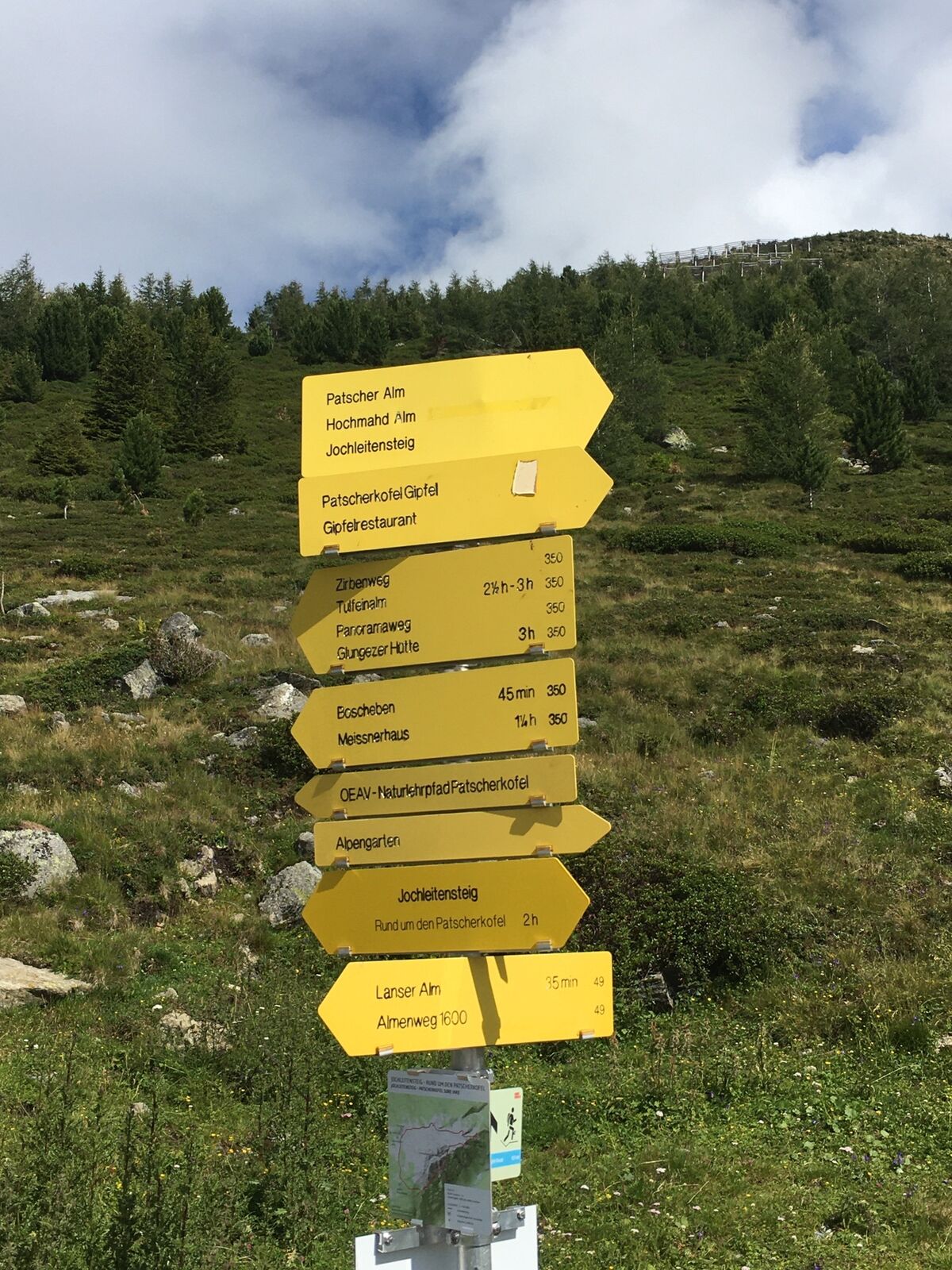
- Reitti
-
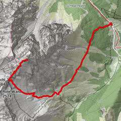
Das Kofel0,0 kmPatscherkofel Schutzhaus0,1 kmGrünbichl1,0 kmBoscheben2,4 kmPatscherkofel Schutzhaus4,8 km
- Paras kausi
-
tammihelmimaalishuhtitoukokesäheinäelosyyslokamarrasjoulu
- Korkein kohta
- 2.034 m