Sölden's walk along the Ötztaler Ache

Logo Sölden's walk along the Ötztaler Ache
Retkitiedot
2,27km
1.348 - 1.358m
Distanz
-
Nousu
00:45h
 
Kesto
Lyhyt kuvaus

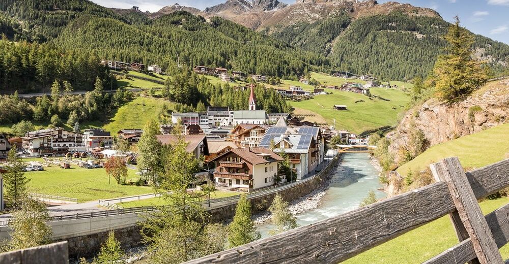
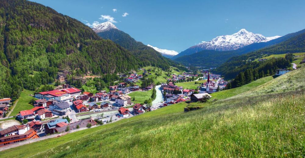
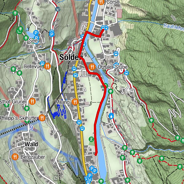
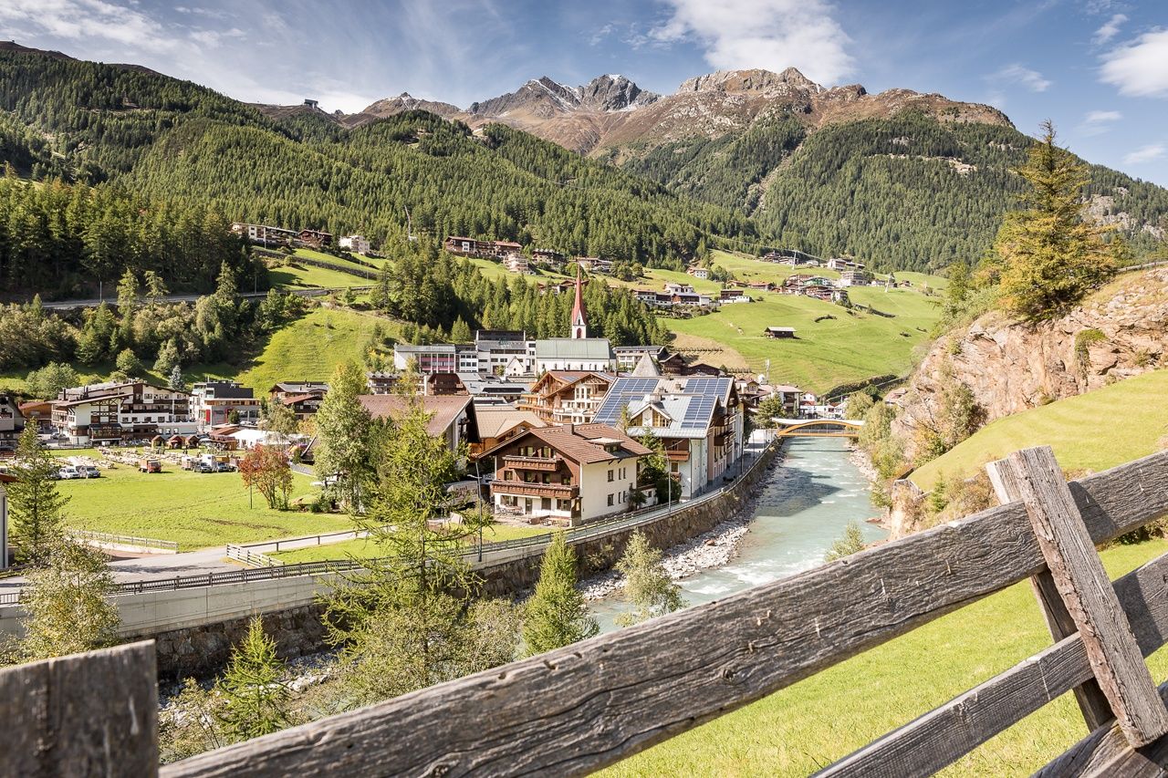
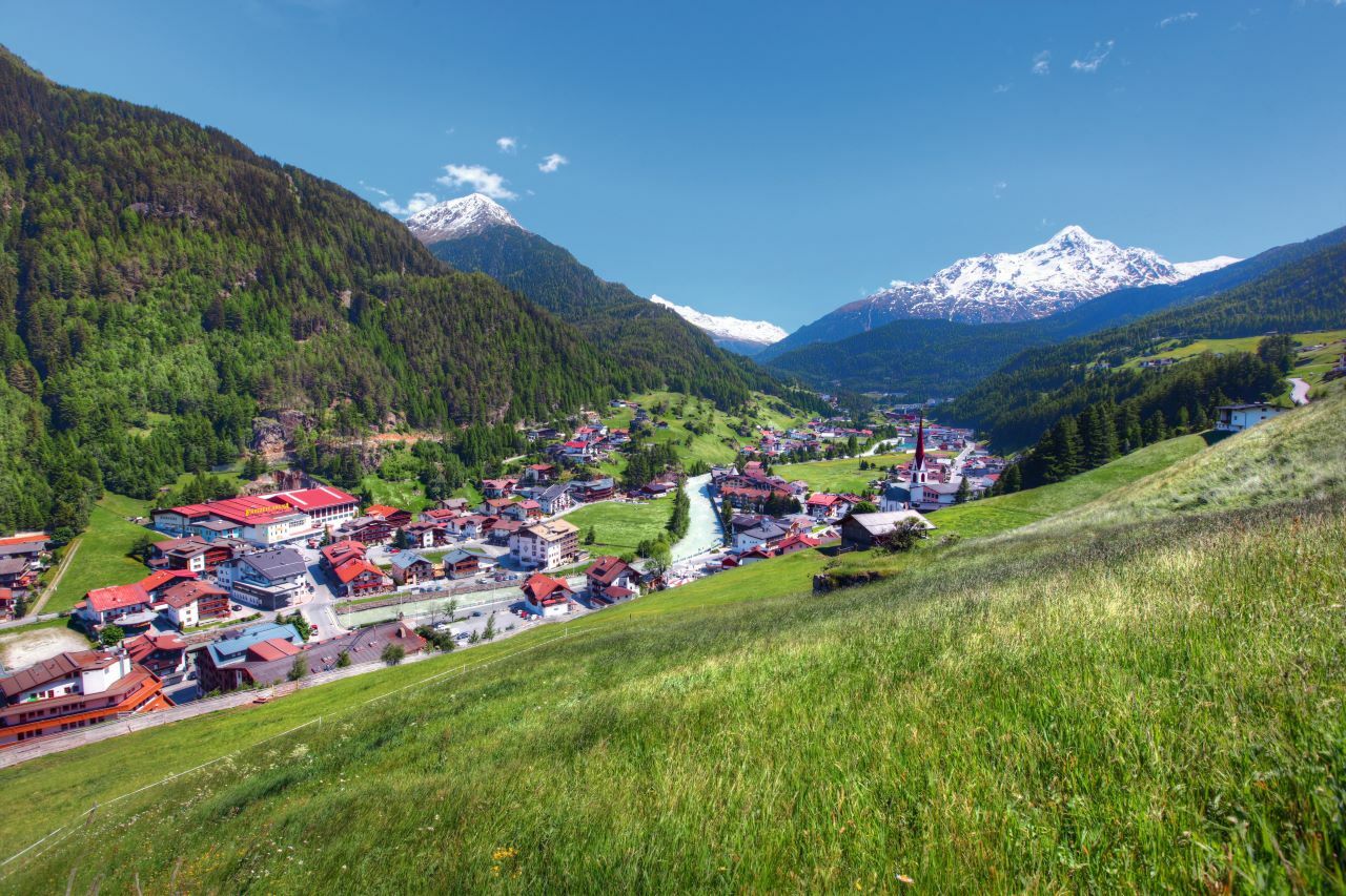
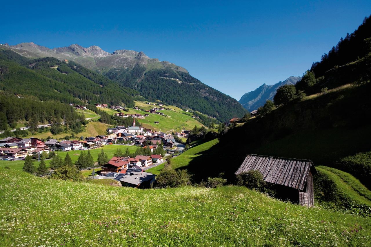
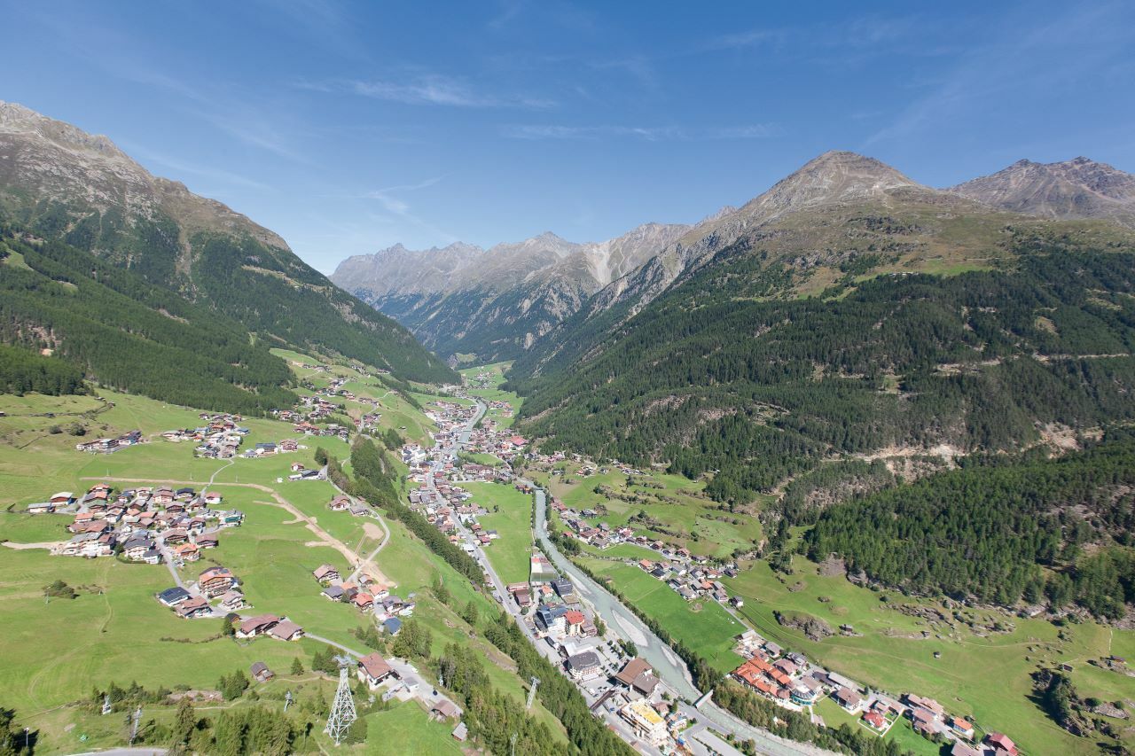
FREIZEIT ARENA -> SPAZIERWEG ENTLANG DER ÖTZTALER ACHE

Vaikeus
helppo
Arviointi
Tekniikka
Kunto
Maisema
Elämys
Reitti
Mariä Heimsuchung
0,3 km
Sölden (1.368 m)
0,3 km

Paras kausi
tammi
helmi
maalis
huhti
touko
kesä
heinä
elo
syys
loka
marras
joulu
Korkein kohta
1.358 m
Kohde

Freizeit Arena

Korkeusprofiili

Kirjoittaja

Yleinen luokitus

5

0

%

4

0

%

3

0

%

2

0

%

1

0

%

Virhe
On tapahtunut virhe. Yritä uudelleen.
Kiitos arvostelusta

Luokitus poistettiin

GPS Downloads
  • GPX GPS Exchange Format (XML)
  • KML Google Earth, Google Maps
QR-latauskoodit matkapuhelimiin
Lisää retkiä alueilla

Suosittuja retkiä alueella

Amberger Hut

tapa
5,6km | 495hm | 02:15h

Nissalm

helppo
5,17km | 424hm | 01:50h

Larstigalm - Niederthai

helppo
3,24km | 215hm | 01:00h

Stuibenfall hike - Umhausen

helppo
2,95km | 392hm | 01:45h