


- Lyhyt kuvaus
-
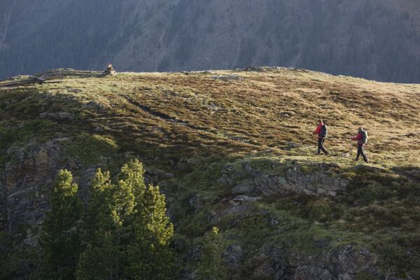
A high alpin Tour with a fantastic crag- and ice landscape.
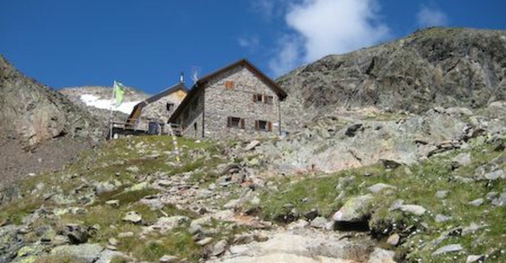
The ascent to the hut takes 4 h. There is a 1201 altitude difference. The anticlimax takes 2,5 h.
A trip to the Parstlewand takes 2,5 to 3 h. Back from there takes 1 to 1,5 h.
The anticlimax over the Mttelbergsee to Trenkwald.
- Reitti
-
Pfarrkirche Plangeross0,0 kmPlangeross0,0 kmWinterraum4,7 kmKaunergrathütte4,7 km
- Korkein kohta
- 2.812 m
- Korkeusprofiili
-


- Kirjoittaja
-
Kiertue Kaunergrat hut 2817 m käyttää outdooractive.com toimitettu.
GPS Downloads


Lisää retkiä alueilla
-
Pitztal
1068
-
St. Leonhard im Pitztal
333