

© Warth-Schröcken Tourismus - Sebastian Stiphout

© Warth-Schröcken Tourismus - Sebastian Stiphout

© Warth-Schröcken Tourismus - Sebastian Stiphout

- Lyhyt kuvaus
-
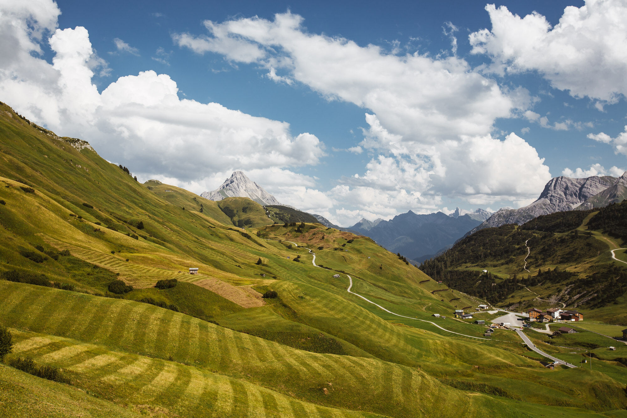
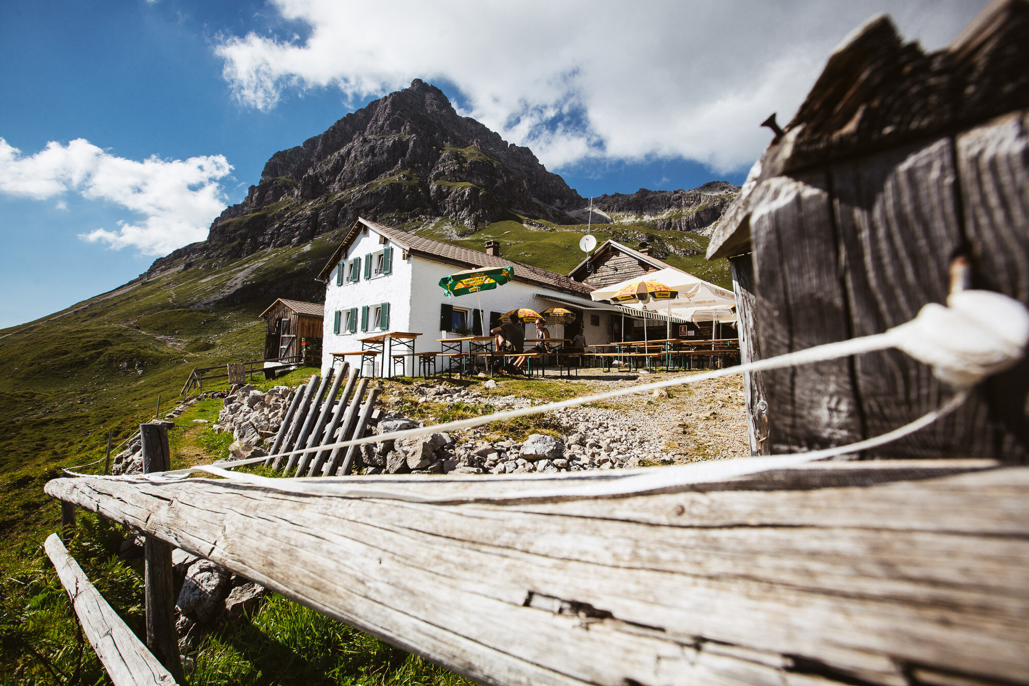
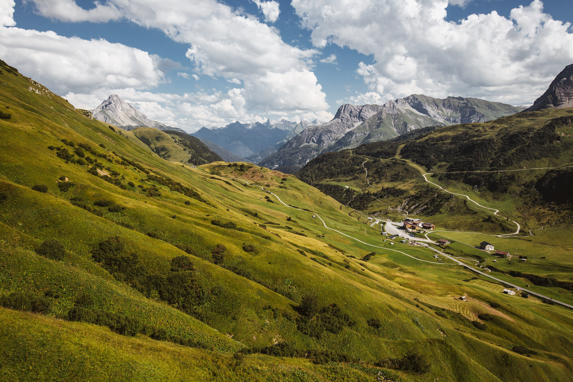
The hiking bus takes you comfortably to the bus stop “Gehren. ” From here you follow the municipal trail to the last house in Gehren, where you will find the entrance towards Gehrnerberg. Continue following the signs towards Koblatpass. You have already reached the first pass, continue to the Gemstelpass towards Widdersteinhütte. The gigantic view of the Hochtannbergpass is perfect for a short break in the Widdersteinhütte. From here the trail continues to the left towards Hochalppass. After reaching the Hochalppass, the descent follows to the Hochtannbergpass, where you can take the bus back.
- Vaikeus
-
tapa
- Arviointi
-
- Reitti
-
Gehren0,3 kmHl. Nikolaus0,5 kmSchärtle (1.945 m)6,5 kmWiddersteinhütte7,8 kmSeekopf (2.039 m)9,0 kmBärgunt-Hütte9,5 kmHochalppass (1.938 m)9,9 kmHirschgehrenalpe14,0 km
- Paras kausi
-
tammihelmimaalishuhtitoukokesäheinäelosyyslokamarrasjoulu
- Korkein kohta
- 2.031 m
- Kohde
-
Hochtannbergpass
- Korkeusprofiili
-

-

-
KirjoittajaKiertue 3 Passes Tour (Koblat, Gemstel and Hochalp pass) käyttää outdooractive.com toimitettu.
GPS Downloads


Yleistä tietoa
Virvokepysäkki
Lisää retkiä alueilla
-
Kleinwalsertal
2055
-
Mittelberg
601


