Retkitiedot
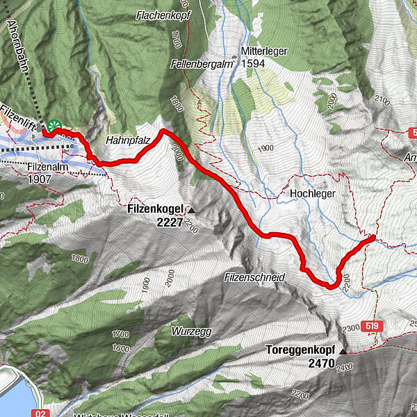
3,16km
1.940
- 2.237m
293hm
293hm
02:00h
- Lyhyt kuvaus
-
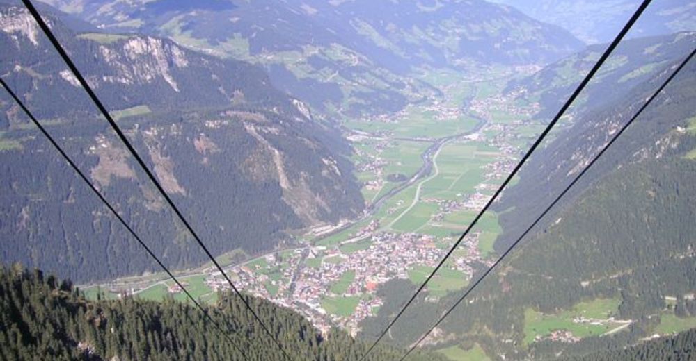
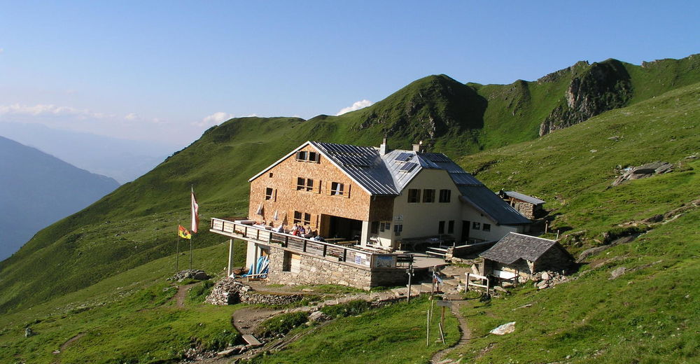
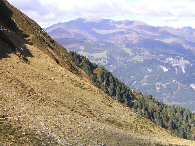
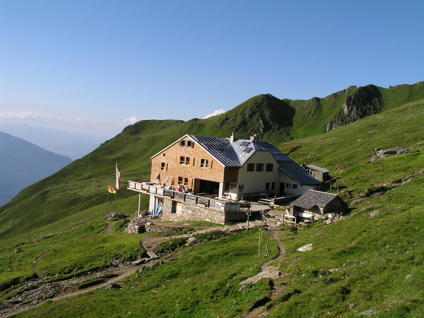
Von der Bergstation der Ahornbahn zur bewirtschafteten Edelhütte (2.238 m).
- Vaikeus
-
helppo
- Arviointi
-
- Lähtöpiste
-
Ahornbahn Bergstation
- Reitti
-
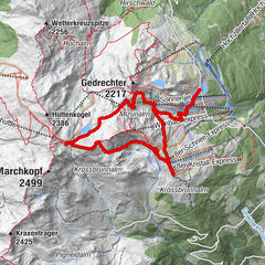
Panoramaplattform Zillertal0,3 kmAhornsee0,5 kmEdelhütte3,1 km
- Korkein kohta
- 2.237 m
- Lepo/Retriitti
-
Edelhütte auf 2.238 m
Alpenrose 1.389 m - Karttamateriaali
-
Kompass-Karten K37/K037 oder die Zillertaler Alpen Karte - erhältlich im Tourismusverband Mayrhofen!

GPS Downloads


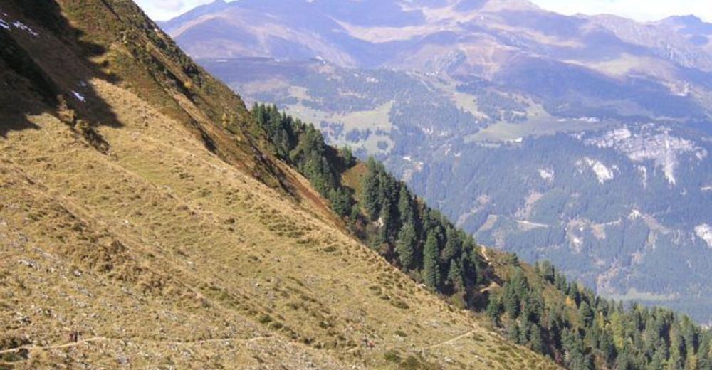
Polun olosuhteet
Asfaltti
Sora
(teilweise)
Niitty
Metsä
Kallio
Altistettu
Lisää retkiä alueilla
-
Brixen und Umgebung
1973
-
Mayrhofen - Hippach
1024
-
Brandberg
241