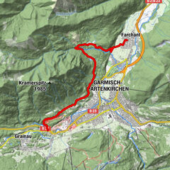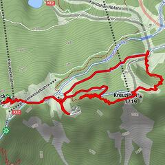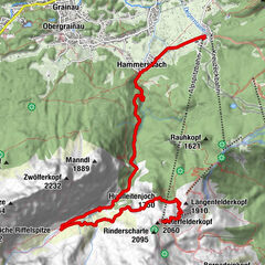
Retkitiedot
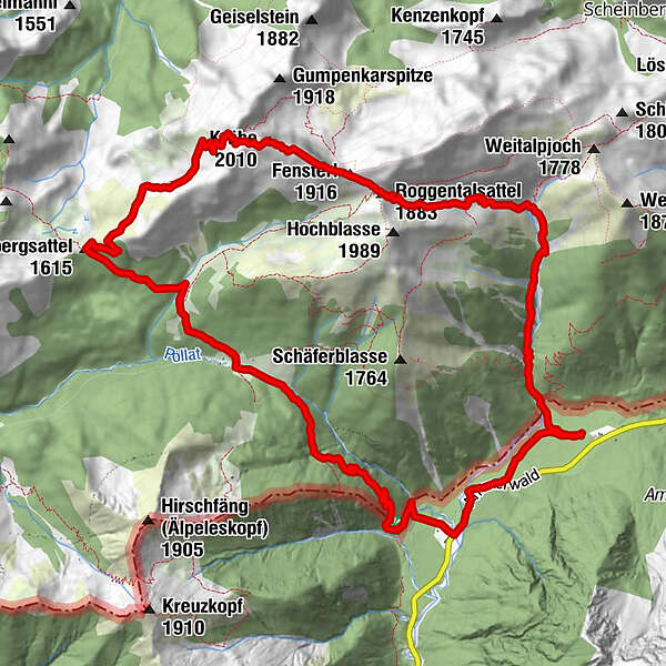
15,27km
1.079
- 2.003m
948hm
978hm
05:12h
- Lyhyt kuvaus
-
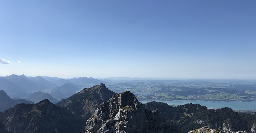
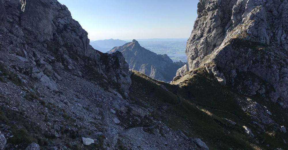
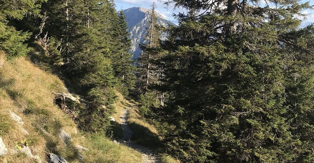
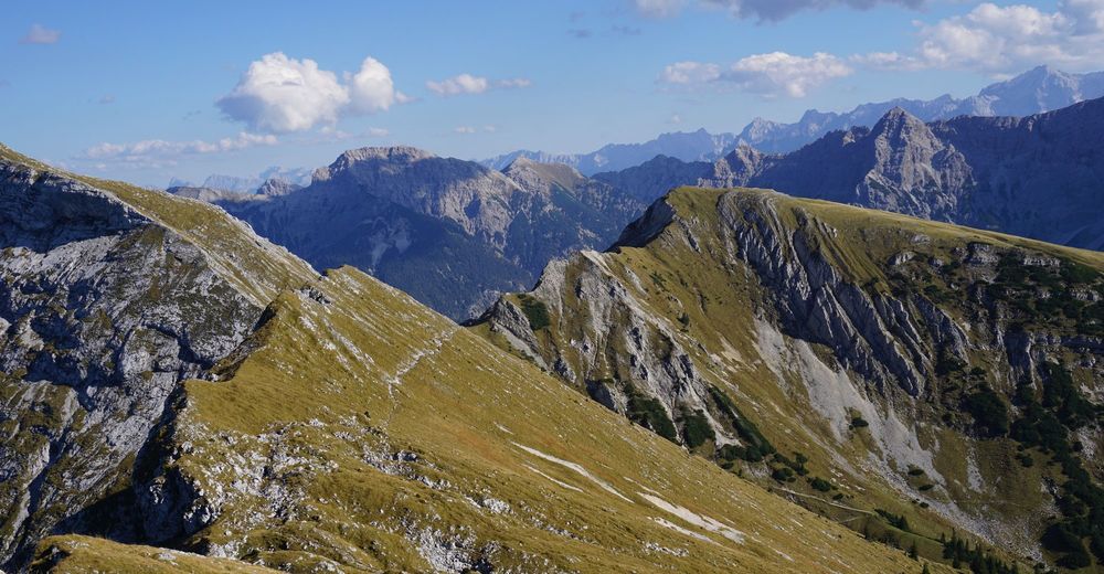
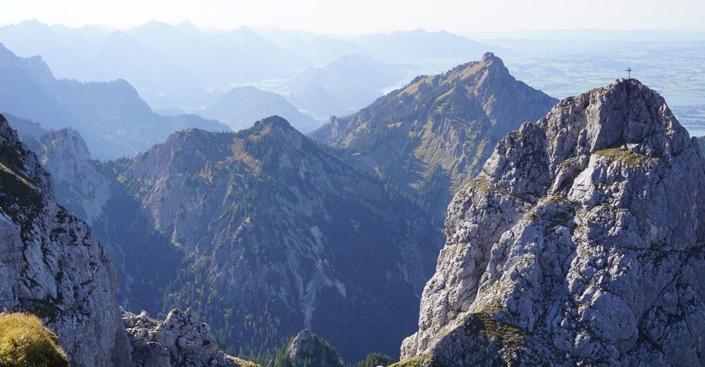
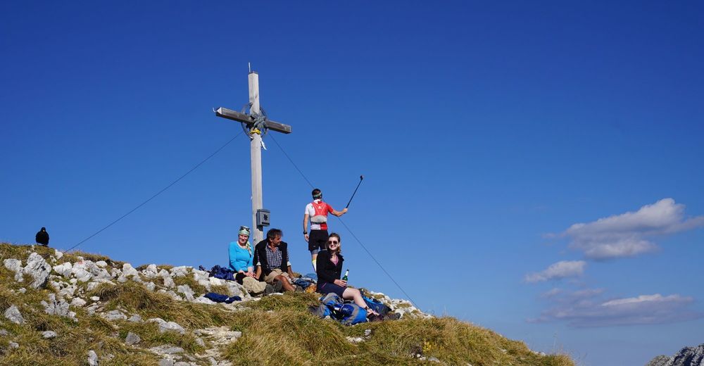
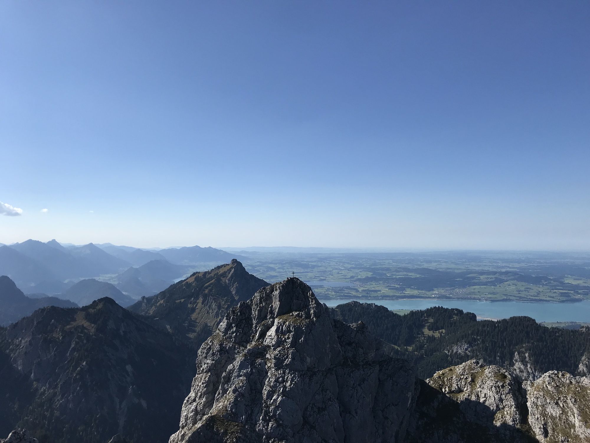
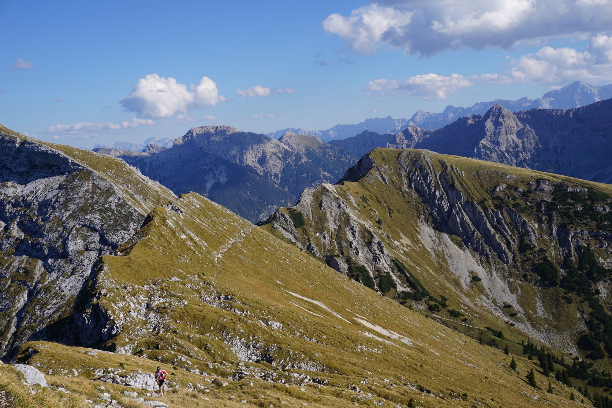
Wunderschöner Rundweg über die Krähe.
- Vaikeus
-
tapa
- Arviointi
-
- Lähtöpiste
-
Parkplatz an der Ammerwald Alm
- Reitti
-
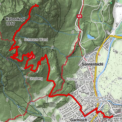
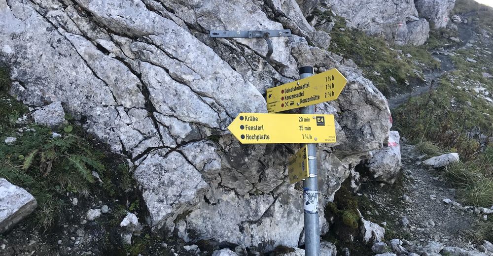
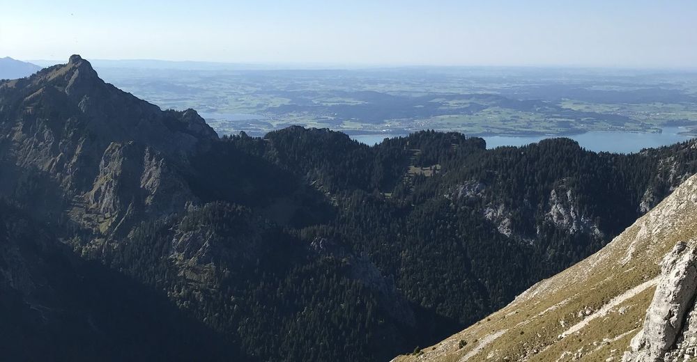
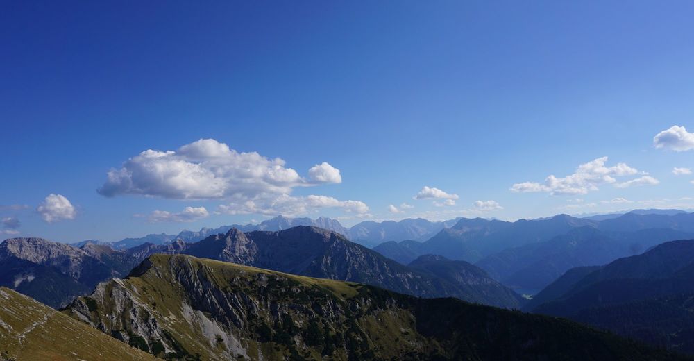
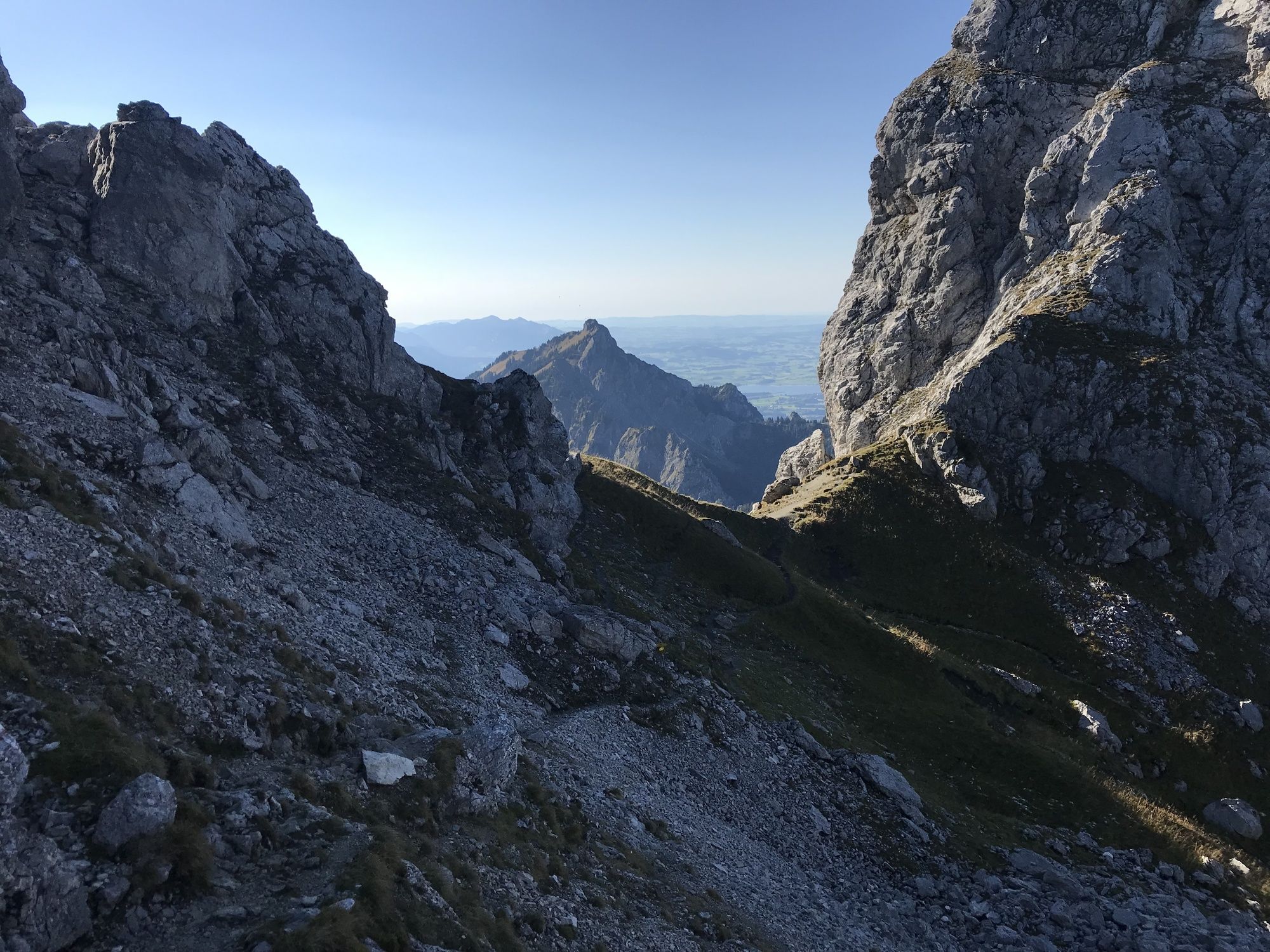
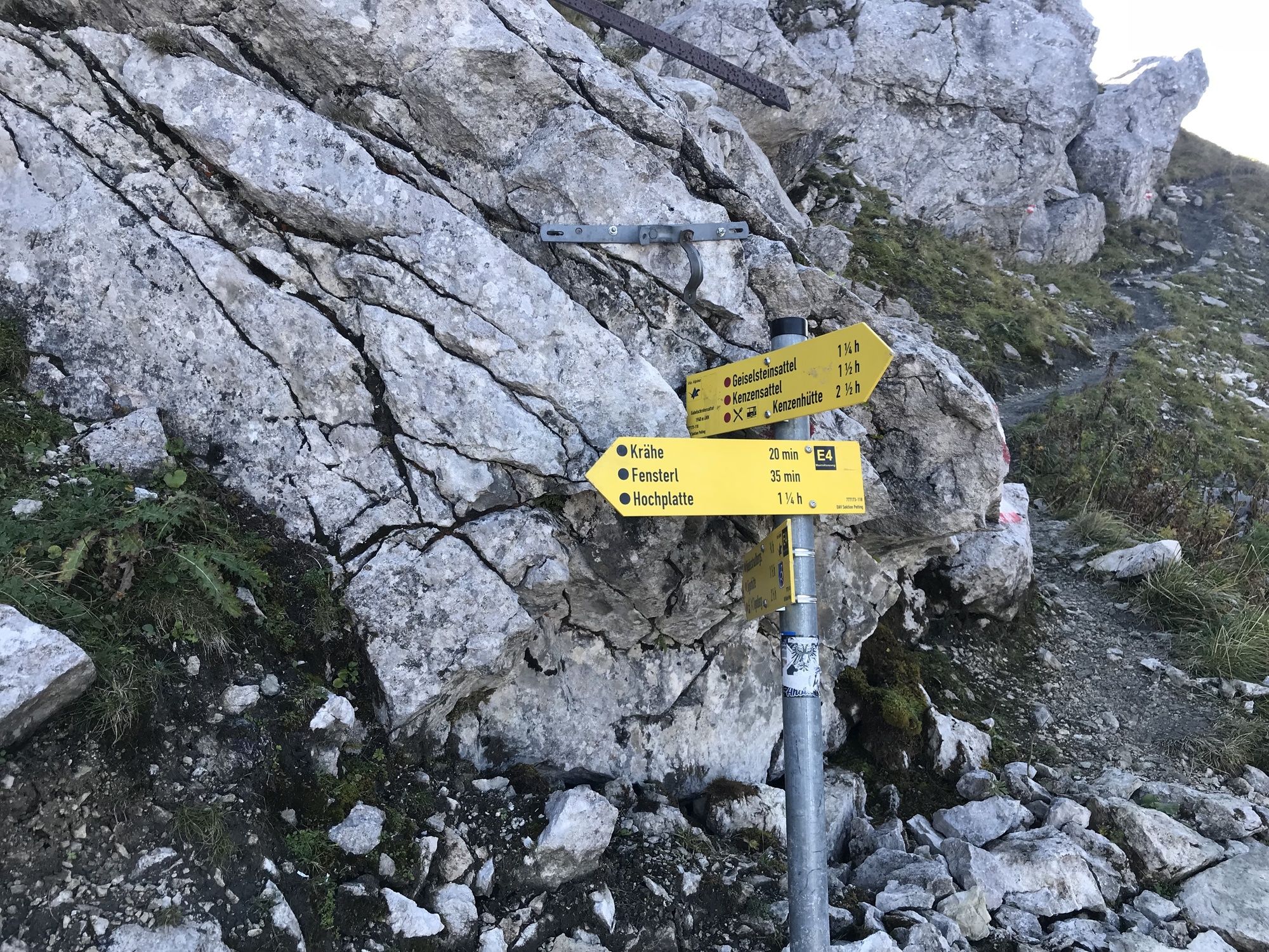
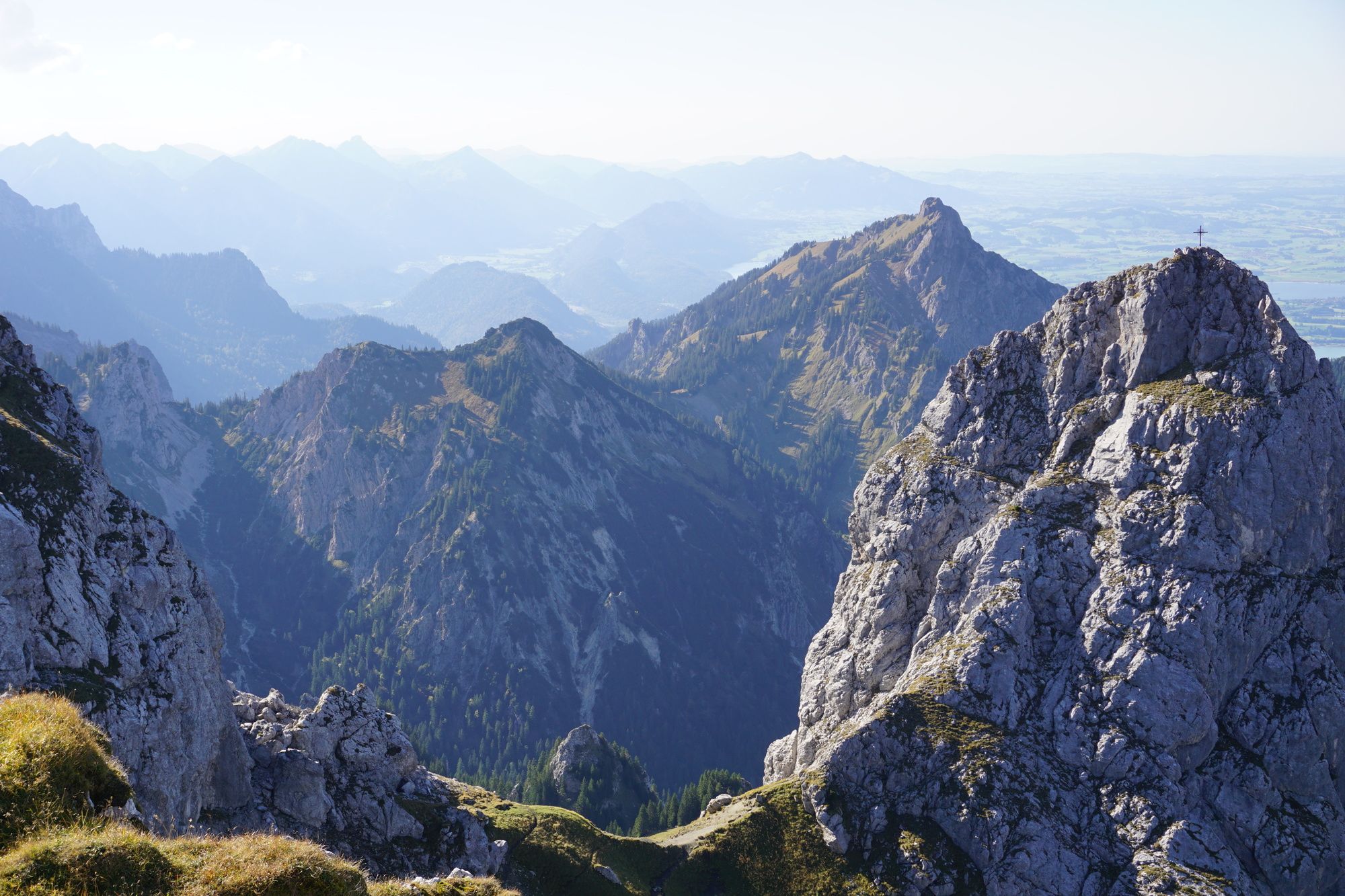
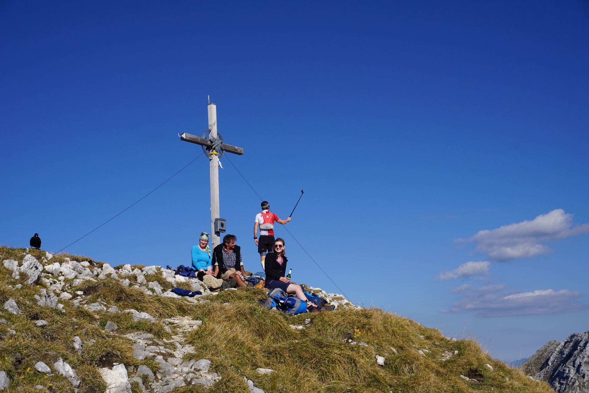
Roggentalsattel (1.883 m)4,3 kmFensterl (1.916 m)4,7 kmKrähe (2.010 m)5,4 kmKrähenhöhle5,7 kmGabelschrofen (1.989 m)6,0 km
- Paras kausi
-
tammihelmimaalishuhtitoukokesäheinäelosyyslokamarrasjoulu
- Korkein kohta
- 2.003 m
- Kohde
-
Hotel Ammerwald. Von dort weiter über die Straße bis zum Parkplatz an der Ammerwald Alm
- Lepo/Retriitti
-
nicht vorhanden


- Lähde
- Michael Karl
GPS Downloads
Polun olosuhteet
Asfaltti
(5)
Sora
(65)
Niitty
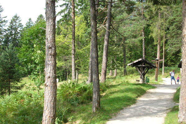
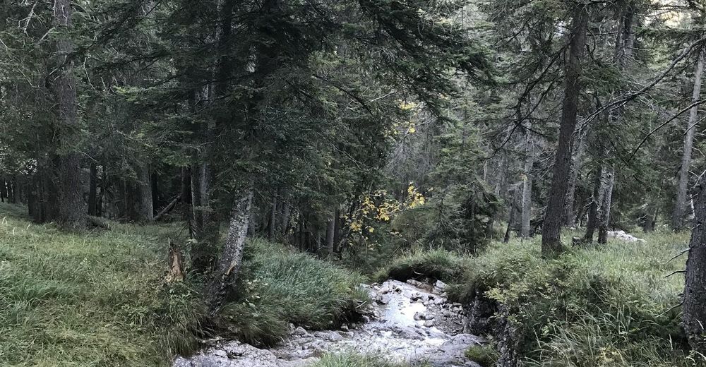
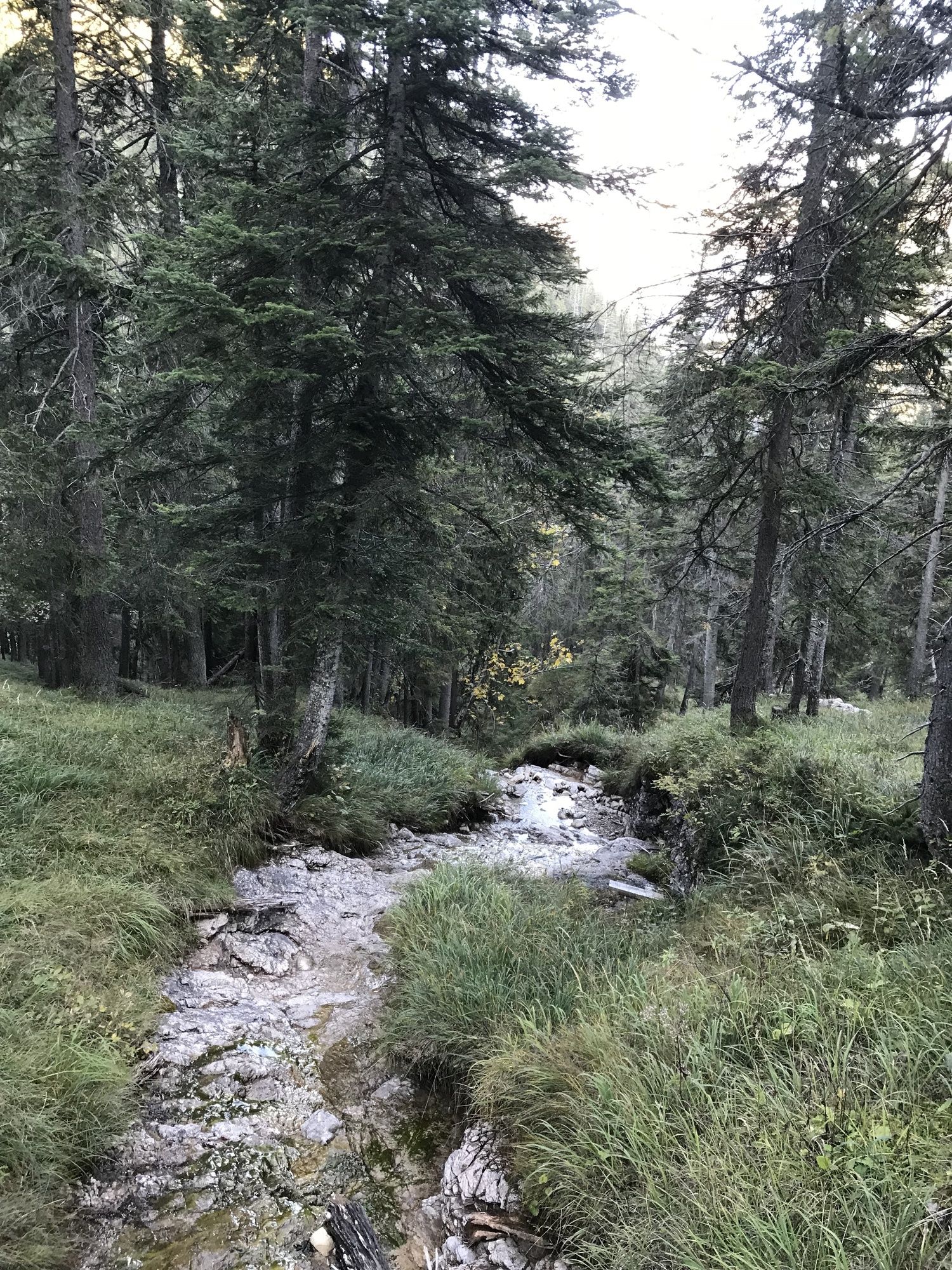
Metsä
(30)
Kallio
Altistettu
Lisää retkiä alueilla
-
Zugspitz Arena
1727
-
Schwangau - Tegelberg
449