© Alpbachtal Tourismus - Thomas Kargl

© Alpbachtal Tourismus


© Alpbachtal Tourismus

© Alpbachtal Tourismus / Berger Bernhard

© Alpbachtal Tourismus / Berger Bernhard

© Alpbachtal Tourismus

© Familie Klingler

© Unbekannt

- Lyhyt kuvaus
-
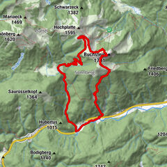
Day 1: from Kramsach via Voldöppberg to Brandenberg --> approx. 5 - 6 h
Day 2: from Brandenberg via the Jocheralm to the Kienberg and descent to Pinegg --> approx. 6 - 7 h
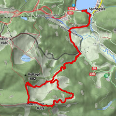
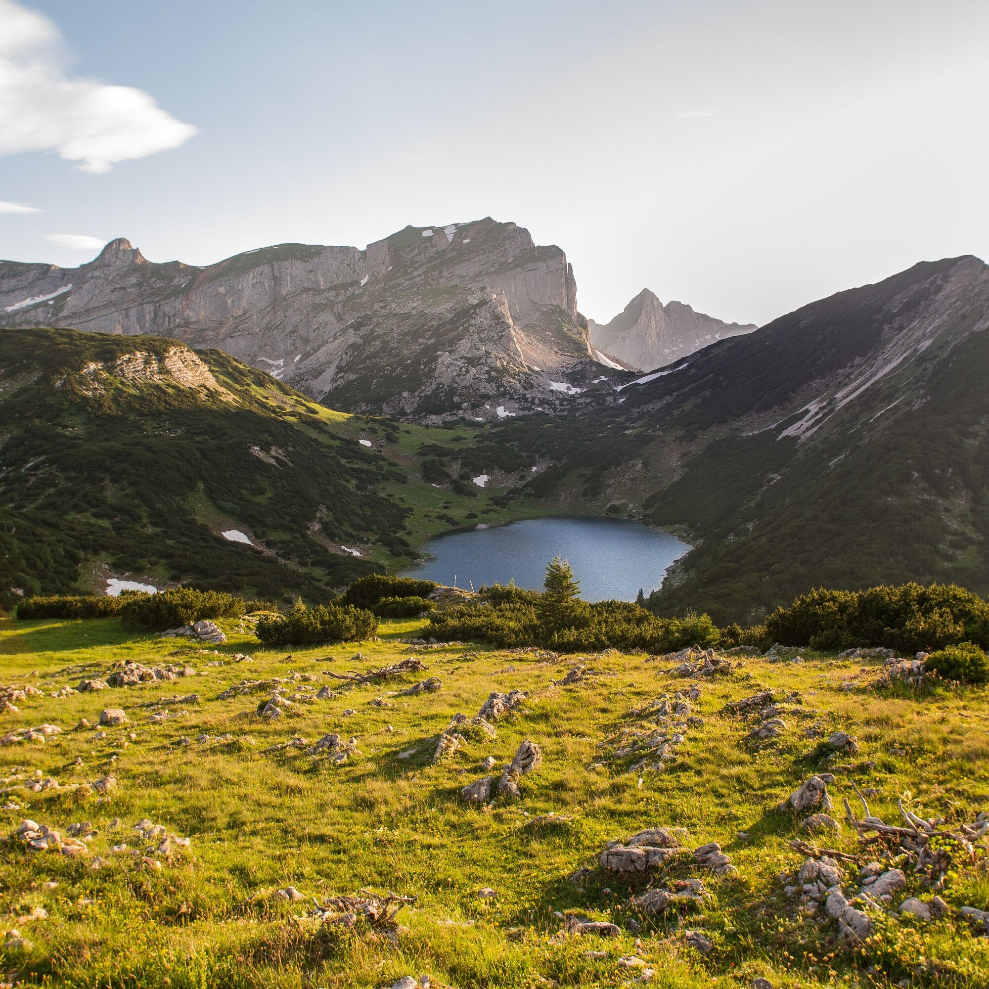
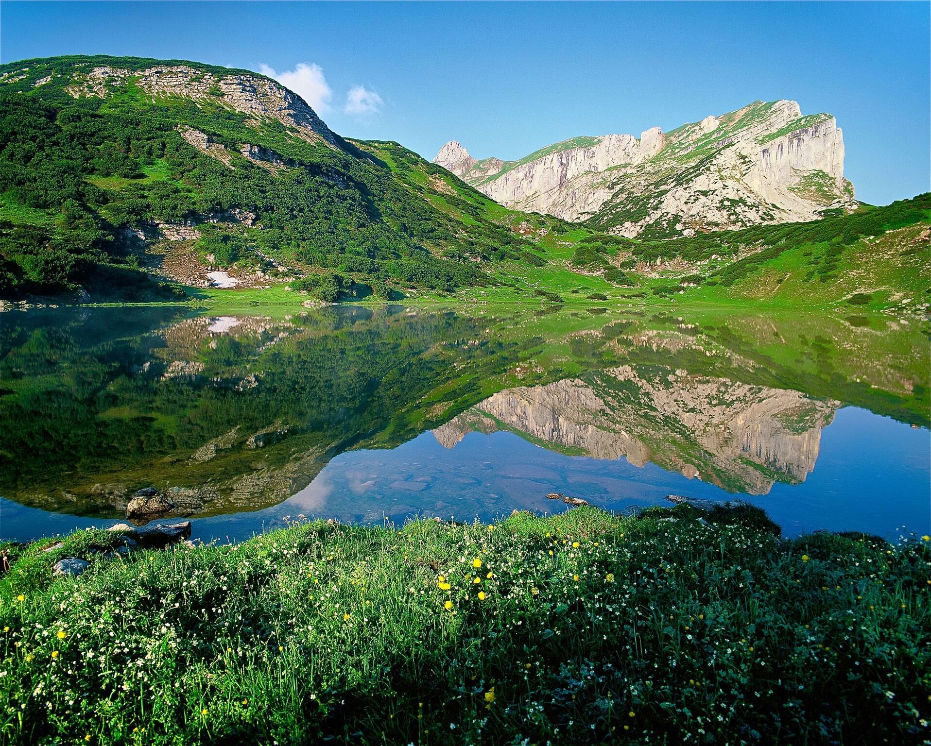
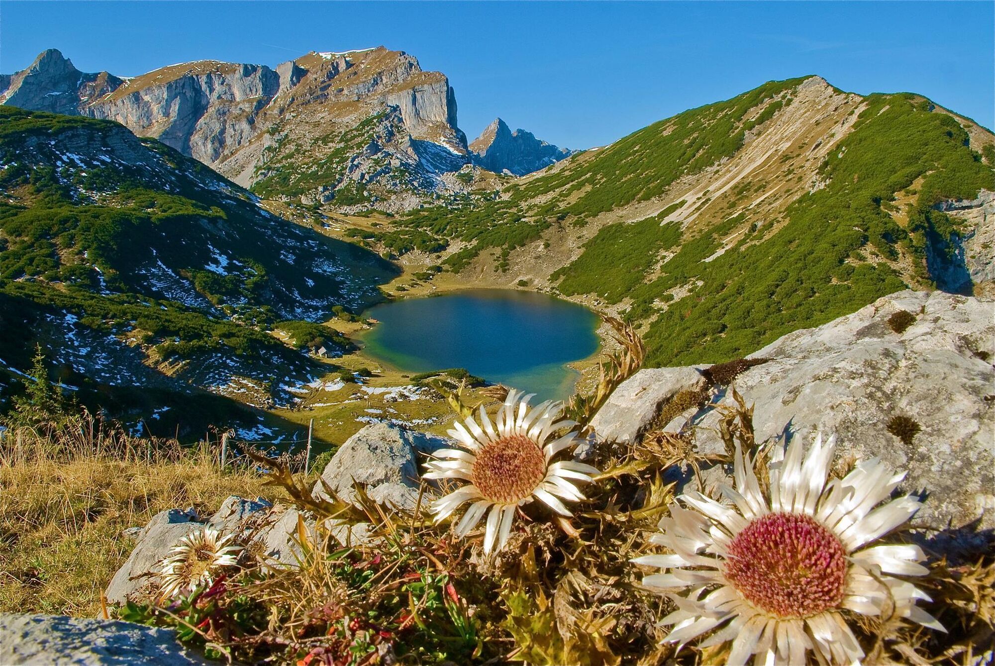
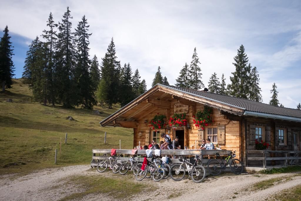
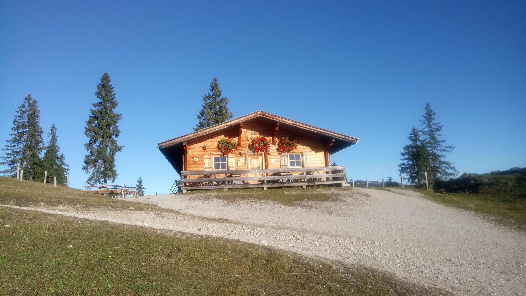
Day 3: from Pinegg via Aschau, Anderl´s Hütte to Lake Zirein and the Bayreuther Hütte --> approx. 7 - 8 h
Day 4: from the Bayreuther Hütte - walk back down to the valley and the starting point --> approx. 2 h
- Vaikeus
-
tapa
- Arviointi
-
- Reitti
-
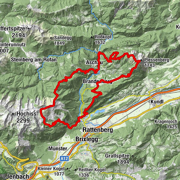
Radetzkyweg0,0 kmMariatal (533 m)0,3 kmGasthaus Mariathal0,3 kmWallfahrtskirche (Basilika) Hl.Dominikus zu Mariathal0,4 kmVoldöpper Spitze (1.509 m)5,6 kmBrandenberg9,8 kmAscherwirt9,8 kmHeiliger Georg9,9 kmNeuwirt9,9 kmJocheralm16,2 kmHeuberg17,2 kmKienberg (1.786 m)18,3 kmEinkehralm (1.446 m)20,2 kmHeubrandalm (1.321 m)21,7 kmPinegg28,5 kmKapelle Pinegg28,5 kmHaaserwirt33,1 kmBurgstall (894 m)33,8 kmBrandl (1.145 m)35,7 kmEilalm (1.387 m)37,9 kmAnderl's Hütte39,2 kmLabegg Alm (1.545 m)39,8 kmKreuzeinjoch (1.702 m)40,9 kmRoßkogel (1.940 m)43,4 kmZireiner See44,1 kmBergalm47,9 kmBayreuther Hütte (1.560 m)48,0 kmLiftstüberl54,7 kmRadetzkyweg54,7 km
- Paras kausi
-
tammihelmimaalishuhtitoukokesäheinäelosyyslokamarrasjoulu
- Korkein kohta
- 1.927 m
- Kohde
-
Kramsach
- Korkeusprofiili
-


- Kirjoittaja
-
Kiertue 4 days - 4 summits tour käyttää outdooractive.com toimitettu.
GPS Downloads


Yleistä tietoa
Virvokepysäkki
Lupaava
Lisää retkiä alueilla
-
Alpbachtal
1502
-
Brandenberg
417