© Patrick Papesch
© Patrick Papesch
© Patrick Papesch
© Patrick Papesch
© Patrick Papesch
© Patrick Papesch
© Patrick Papesch
© Patrick Papesch
Retkitiedot
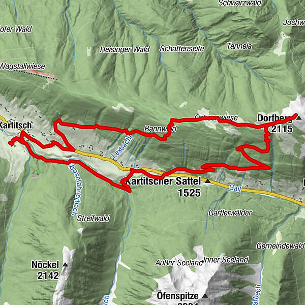
15km
1.344
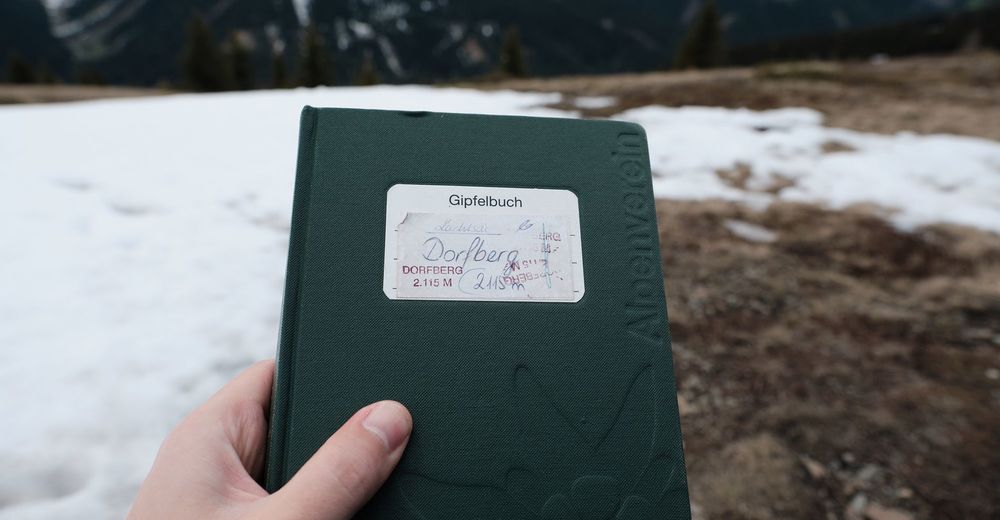
- 2.115m
786hm
780hm
05:00h
- Lyhyt kuvaus
-
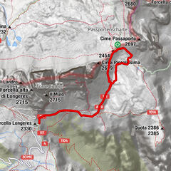
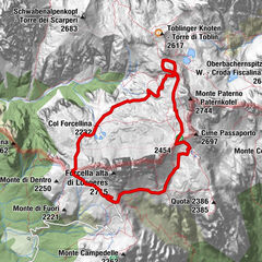
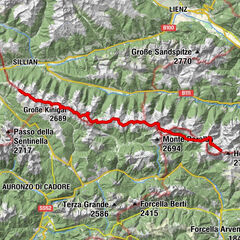
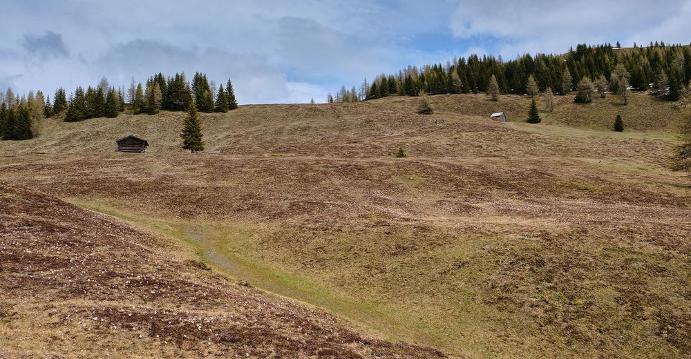
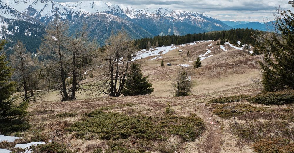
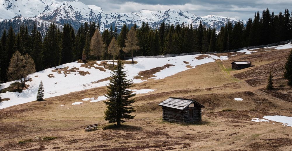
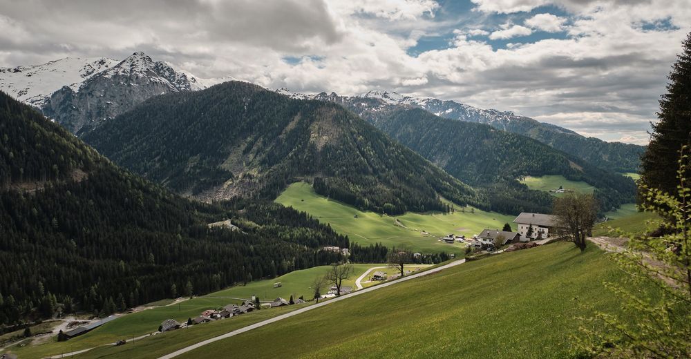
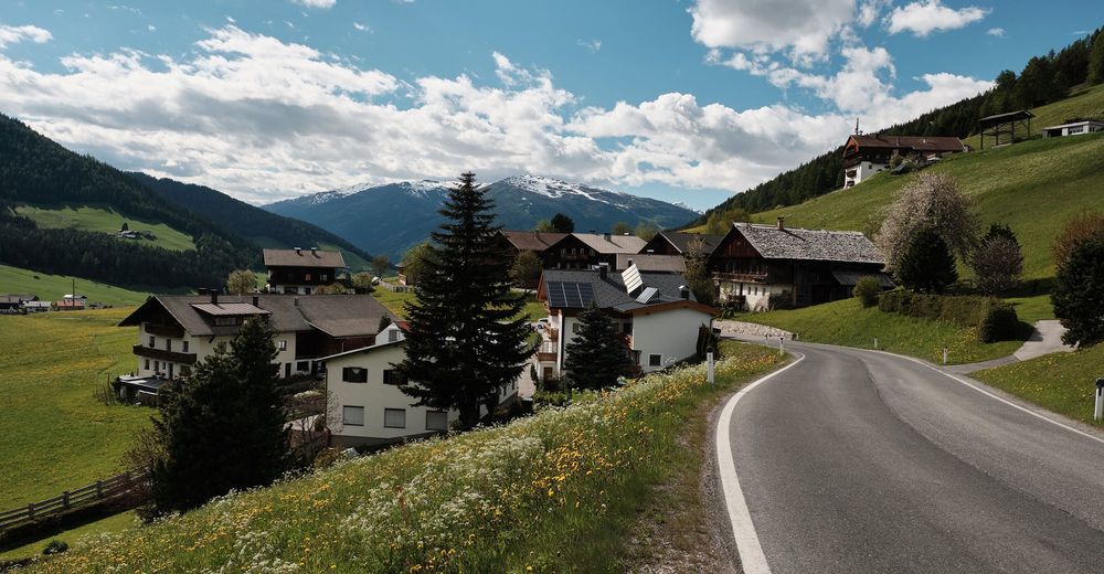
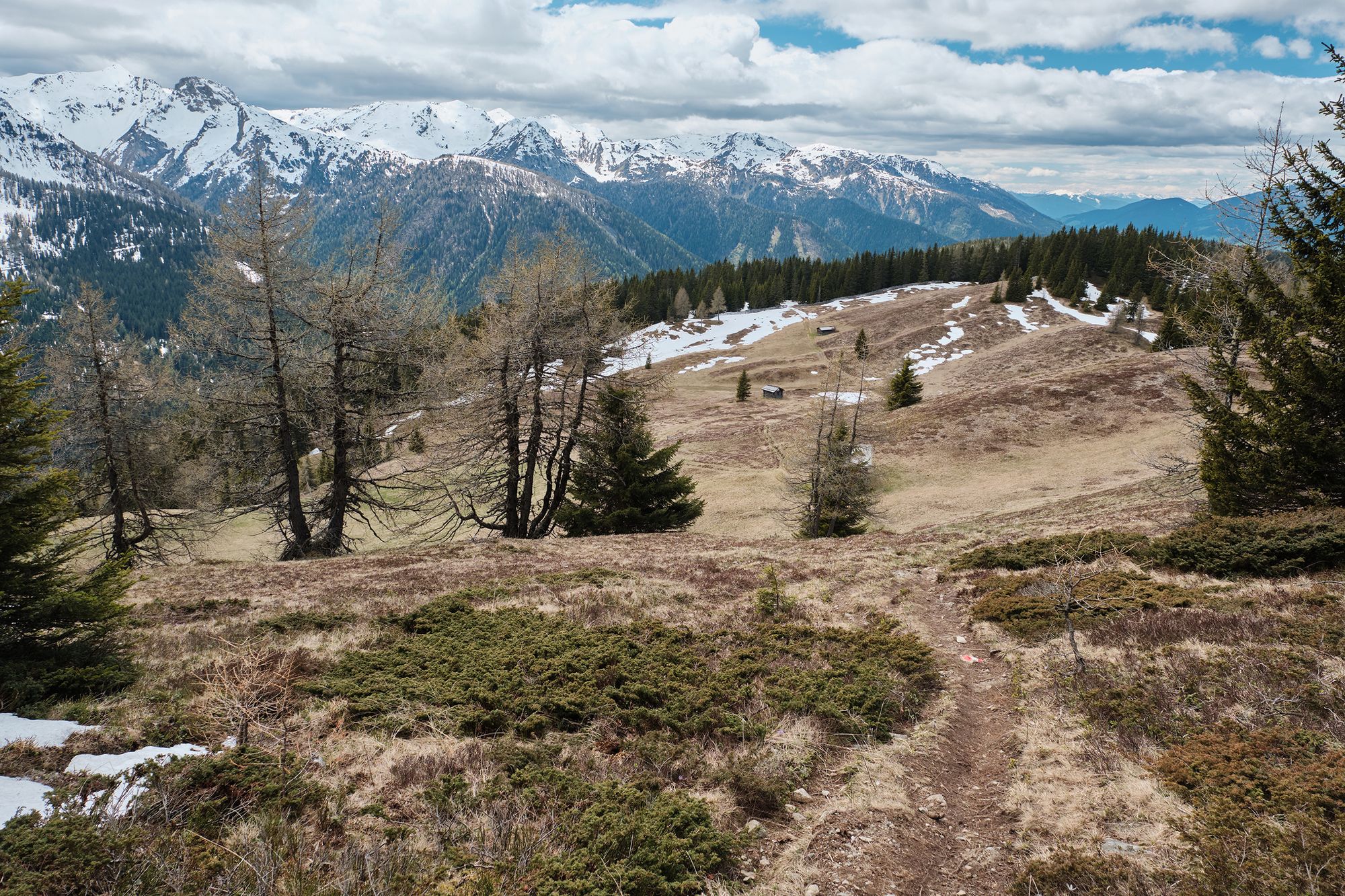
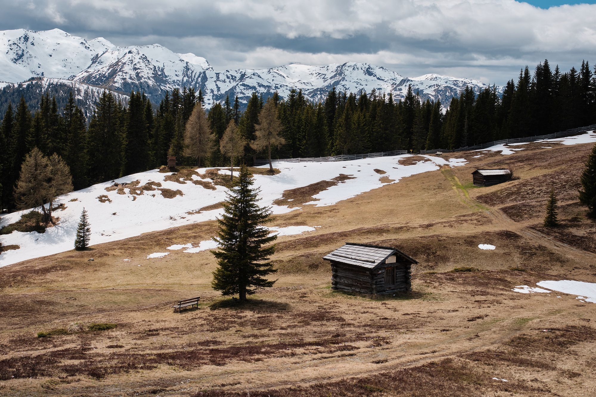
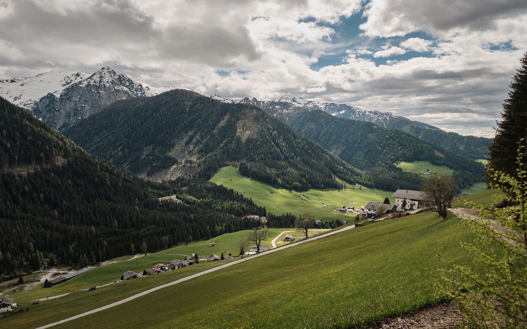
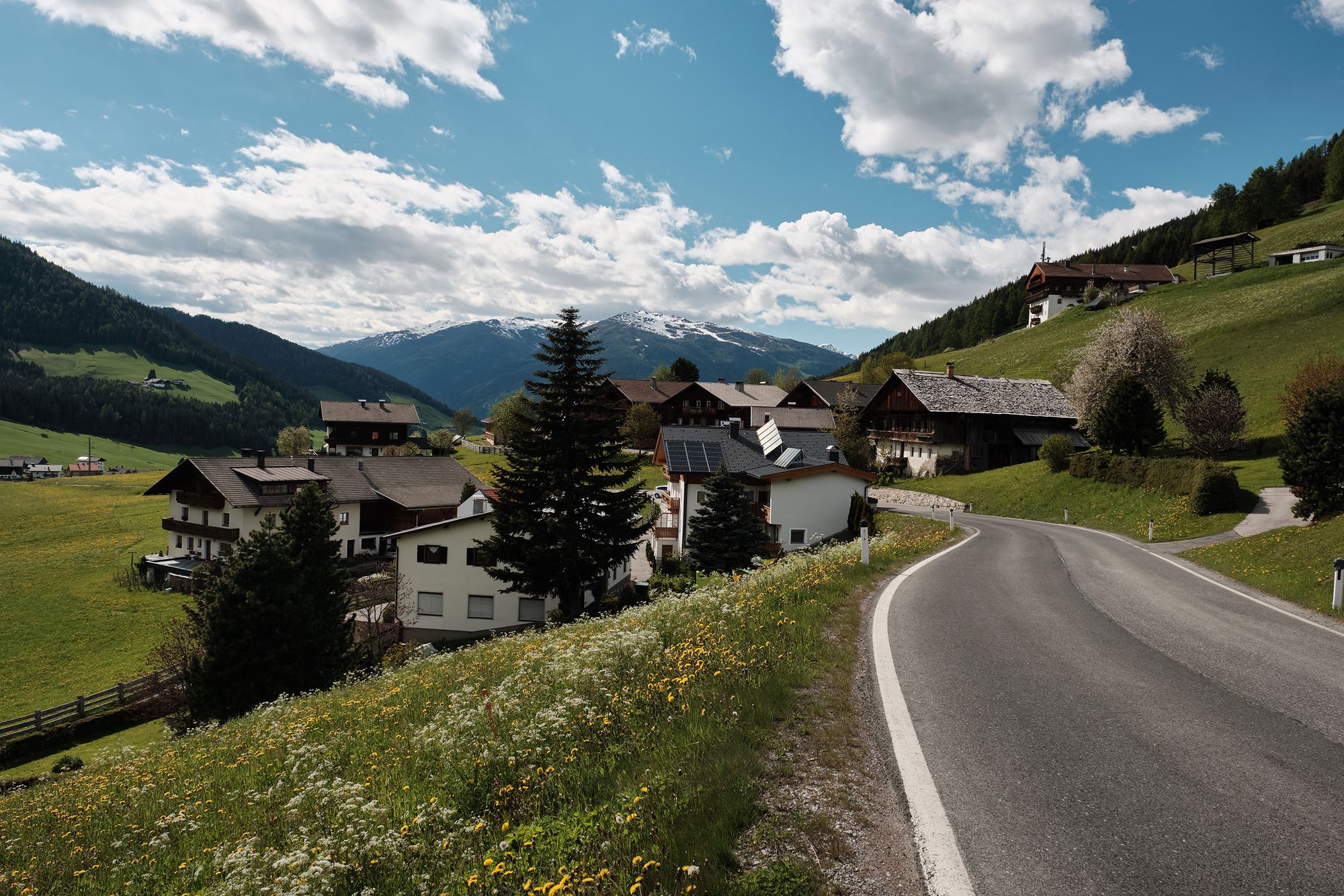
Von Kartitsch Richtung Kartitscher Sattel auf den Dorfberg und zurück
- Vaikeus
-
tapa
- Arviointi
-
- Lähtöpiste
-
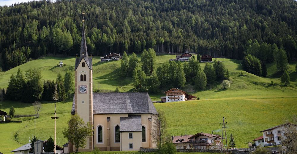
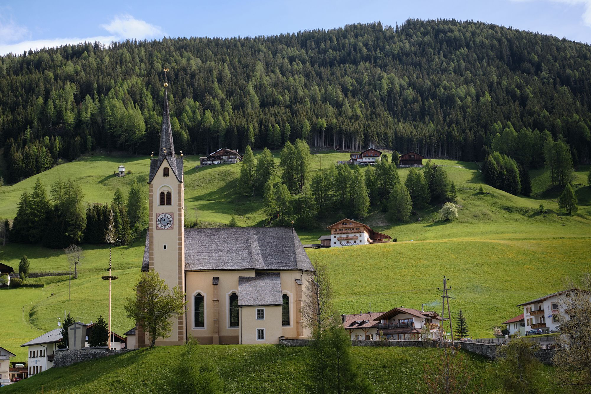
Kartitsch Kirche
- Reitti
-
Kartitsch0,3 kmHeilig-Kreuz-Kapelle0,5 kmBacherkapelle3,2 kmDorfberg (2.115 m)8,2 kmKartitsch15,0 km
- Paras kausi
-
tammihelmimaalishuhtitoukokesäheinäelosyyslokamarrasjoulu
- Korkein kohta
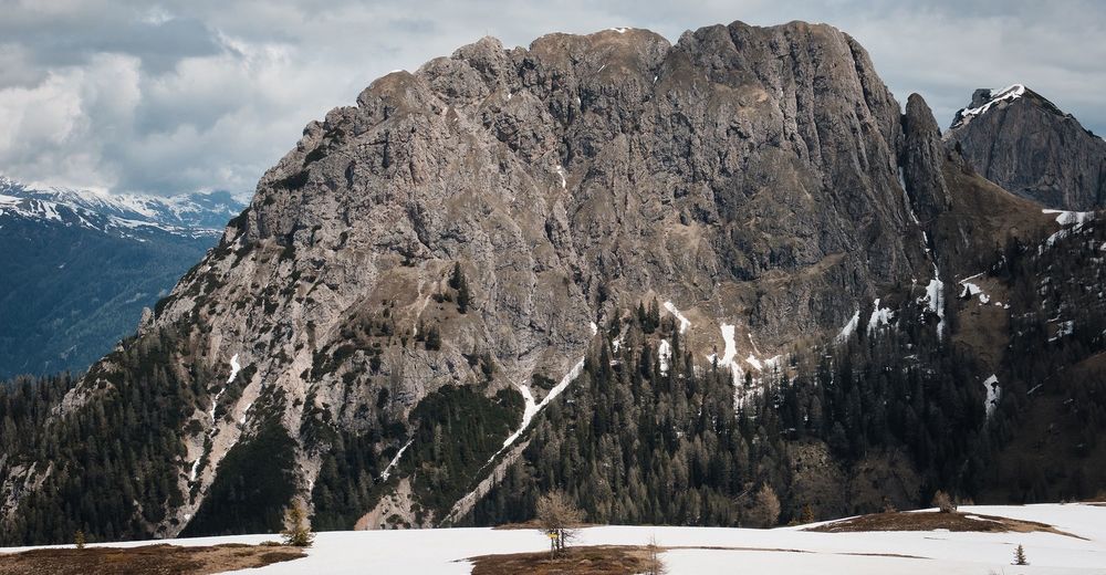
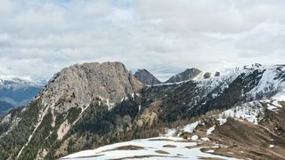
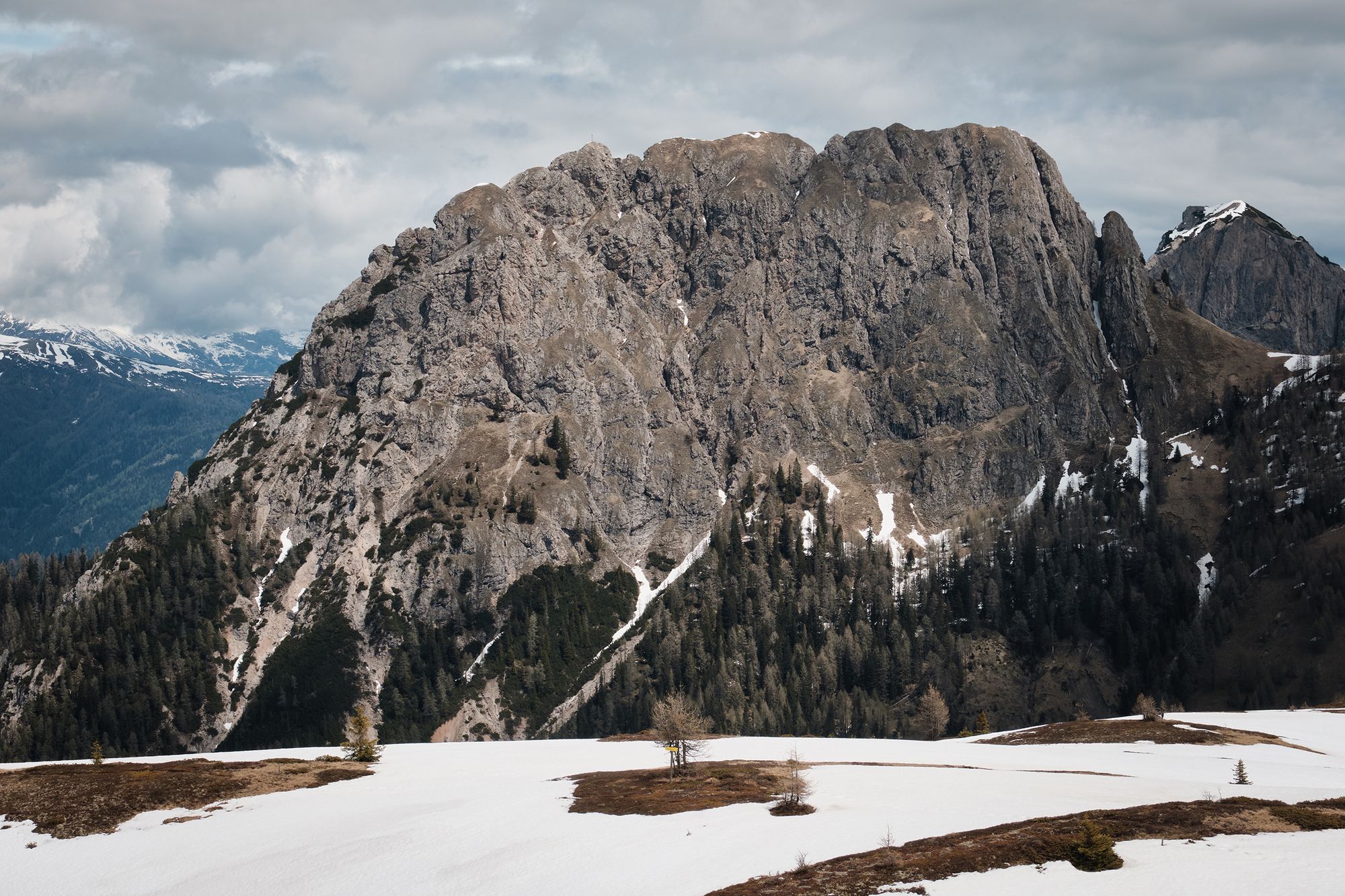
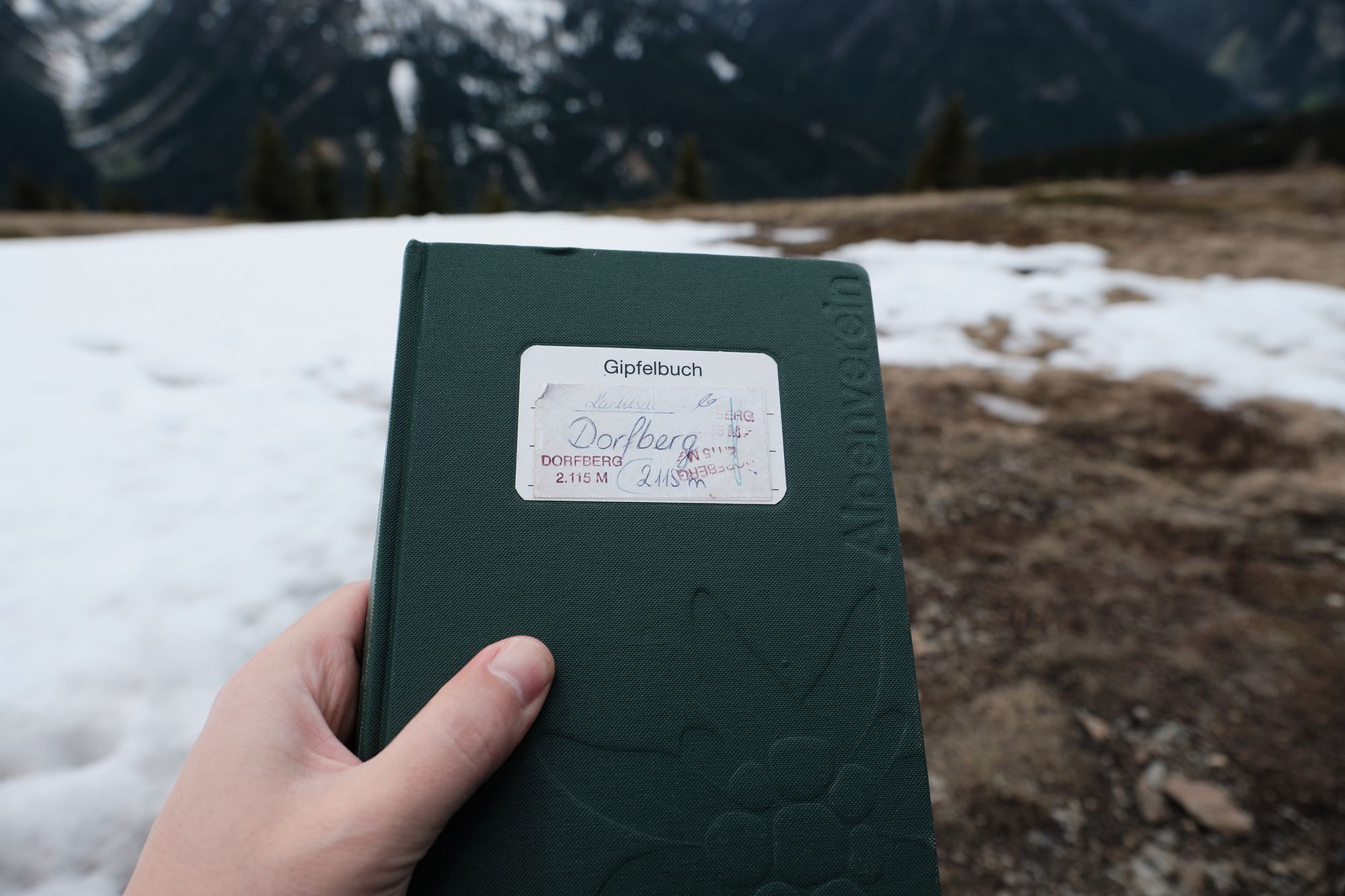
- Dorfberg (2.115 m)
- Kohde
-
Kartitsch Kirche
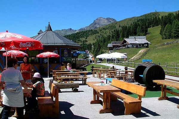
- Lepo/Retriitti
-
in Kartitsch
- Kirjallisuus
-
keine
- Karttamateriaali
-
osm
- Videos
-
 06:084 years ago
- Lähde
- Patrick Papesch