
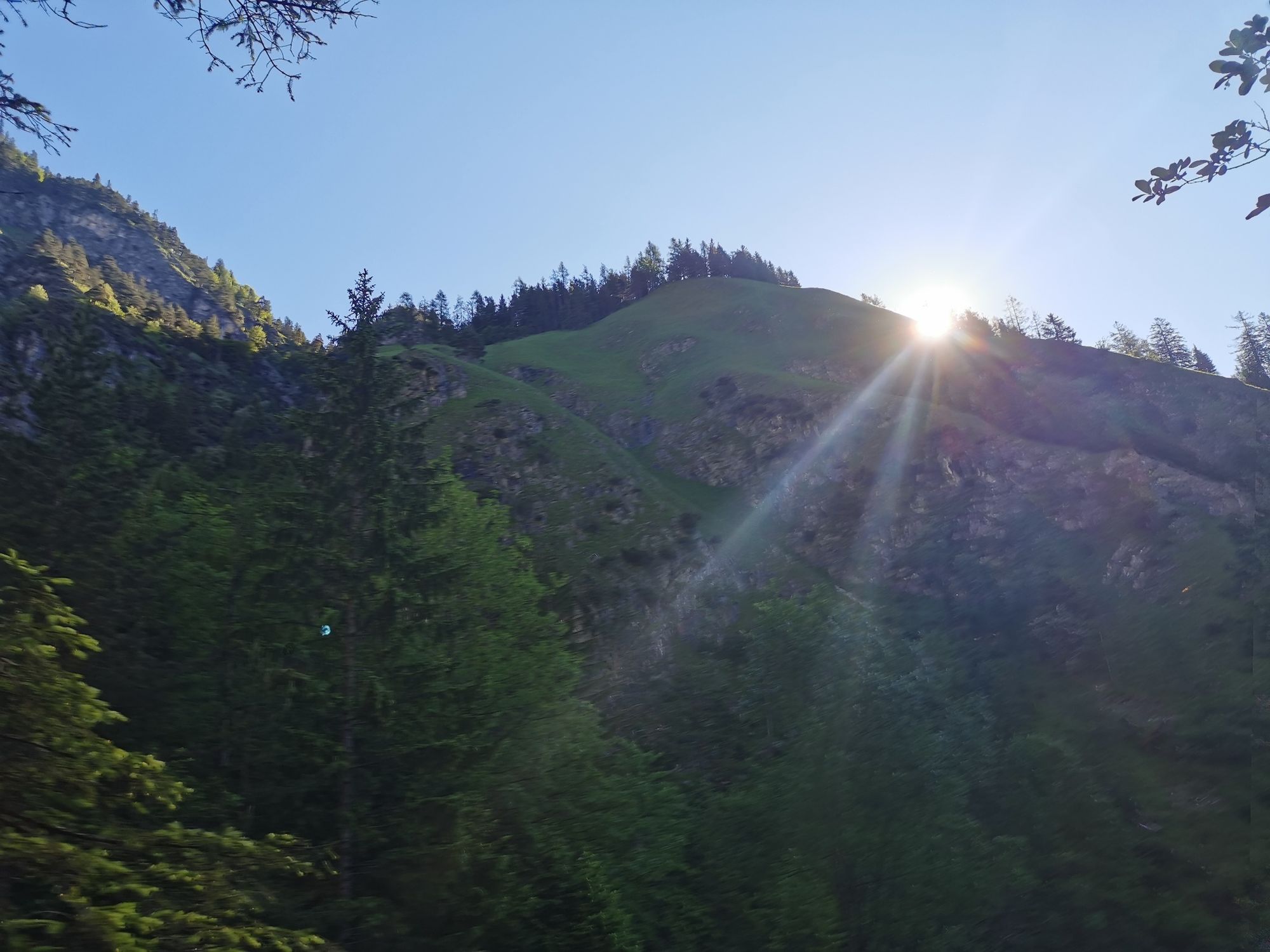
© Tourismusverband Region Hall-Wattens - Anne W.

© Tourismusverband Region Hall-Wattens - Anne W.
© Tourismusverband Region Hall-Wattens - Anne W.
© Tourismusverband Region Hall-Wattens - Anne W.

© Tourismusverband Region Hall-Wattens - Anne W.
© Tourismusverband Region Hall-Wattens - Anne W.
© Tourismusverband Region Hall-Wattens - Anne W.
© Tourismusverband Region Hall-Wattens - Anne W.
© Tourismusverband Region Hall-Wattens - Anne W.
© Tourismusverband Region Hall-Wattens - Anne W.
- Lyhyt kuvaus
-
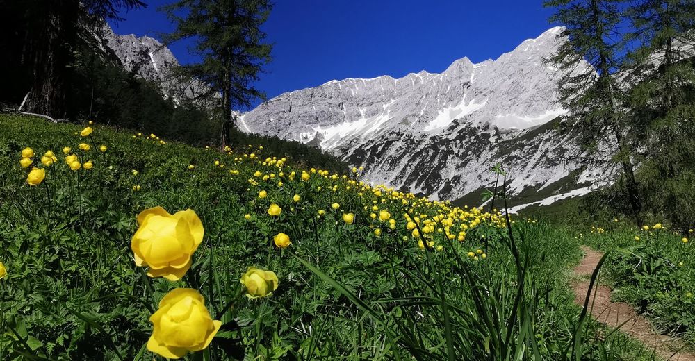
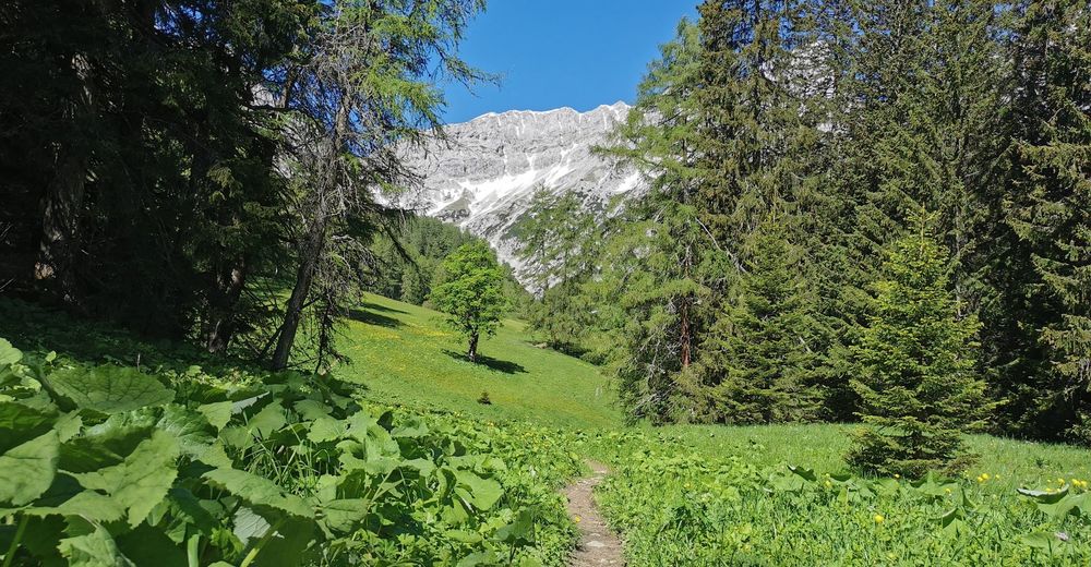
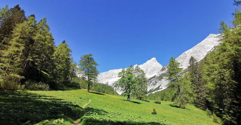
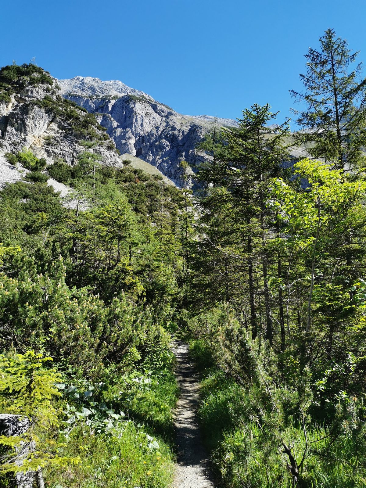
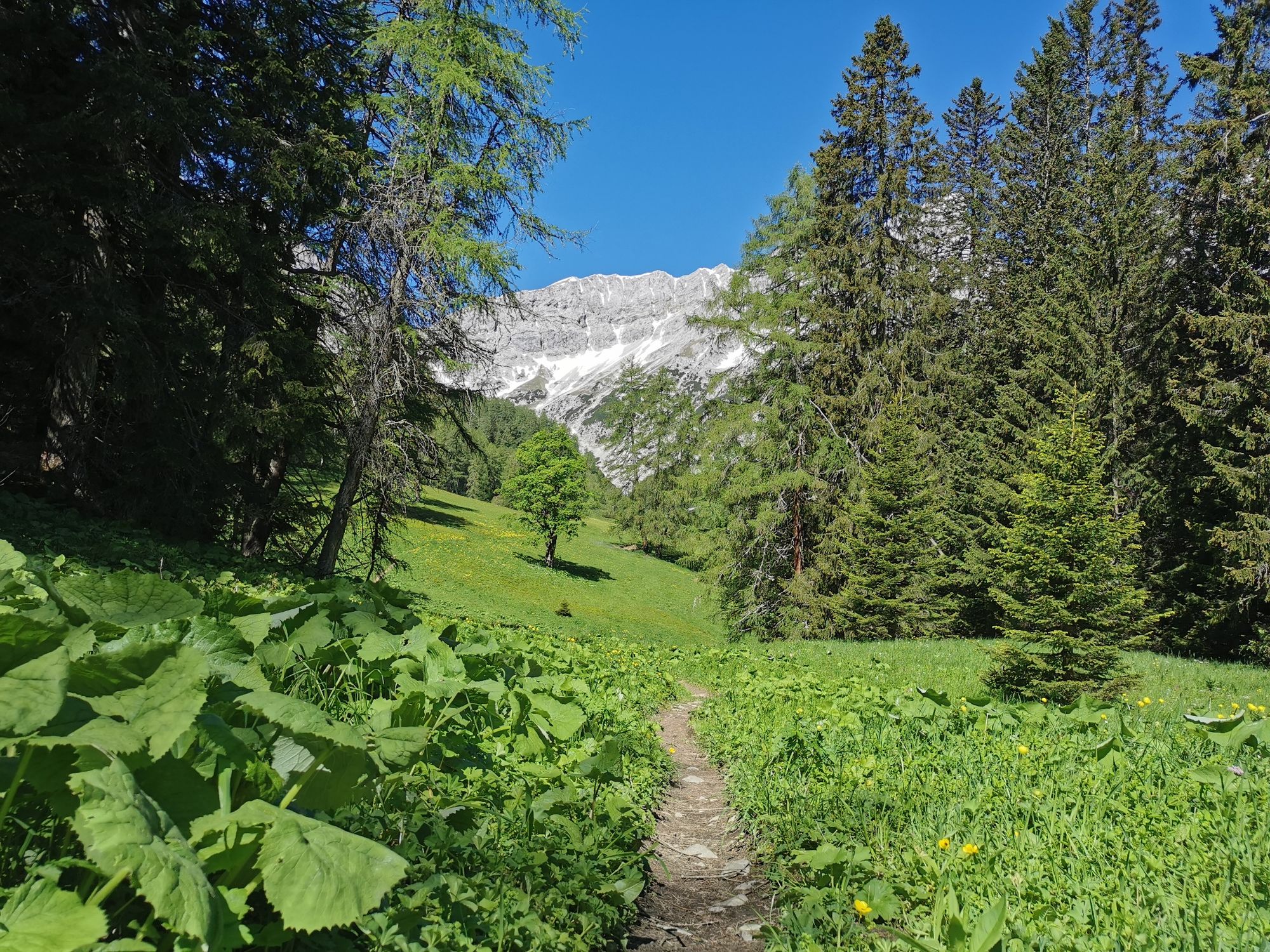
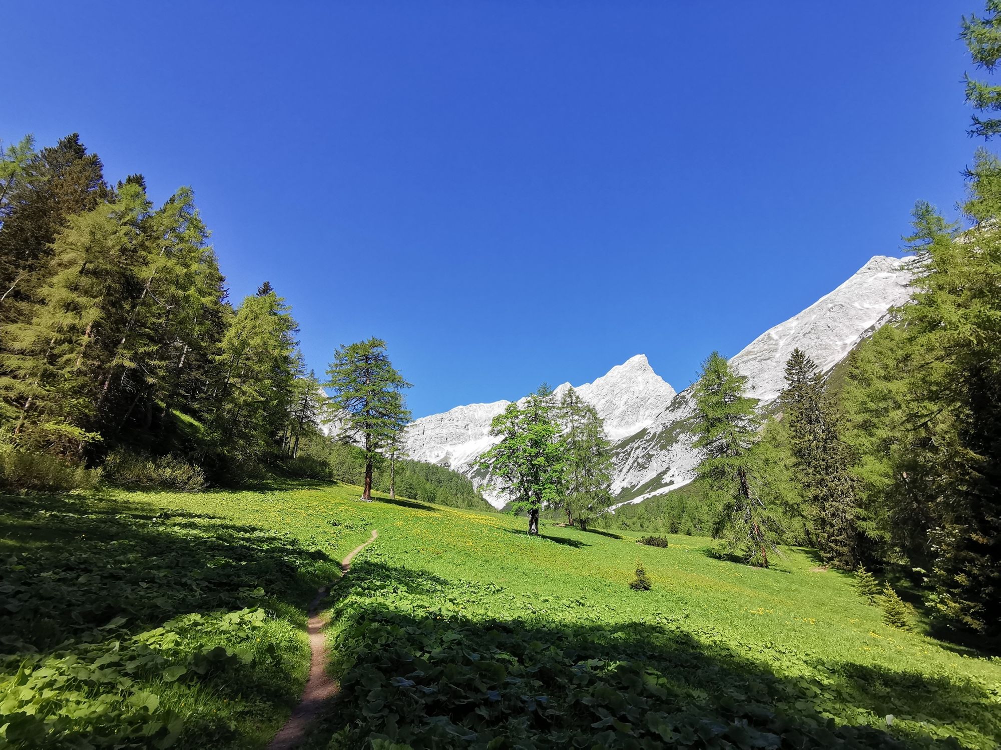
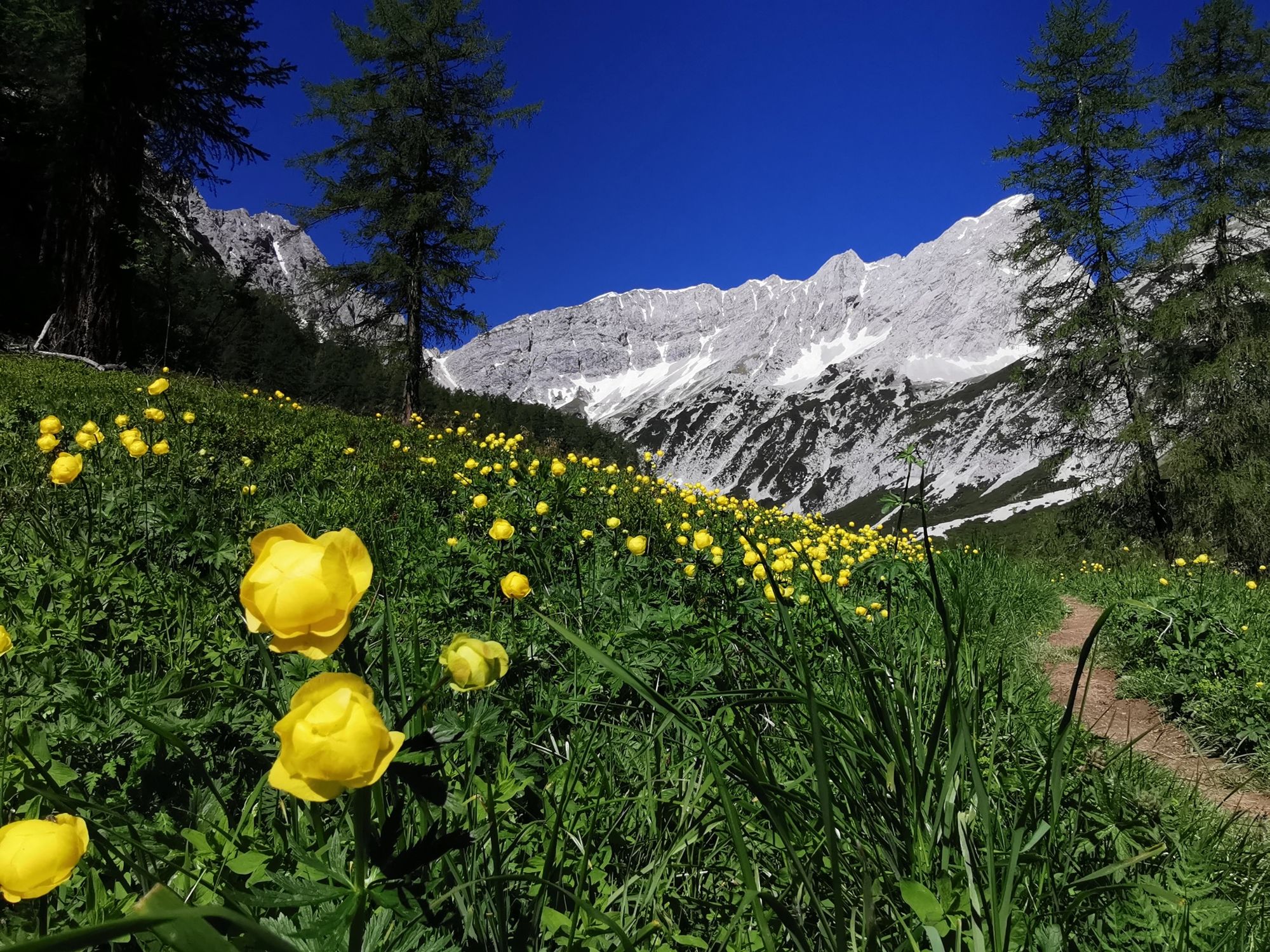
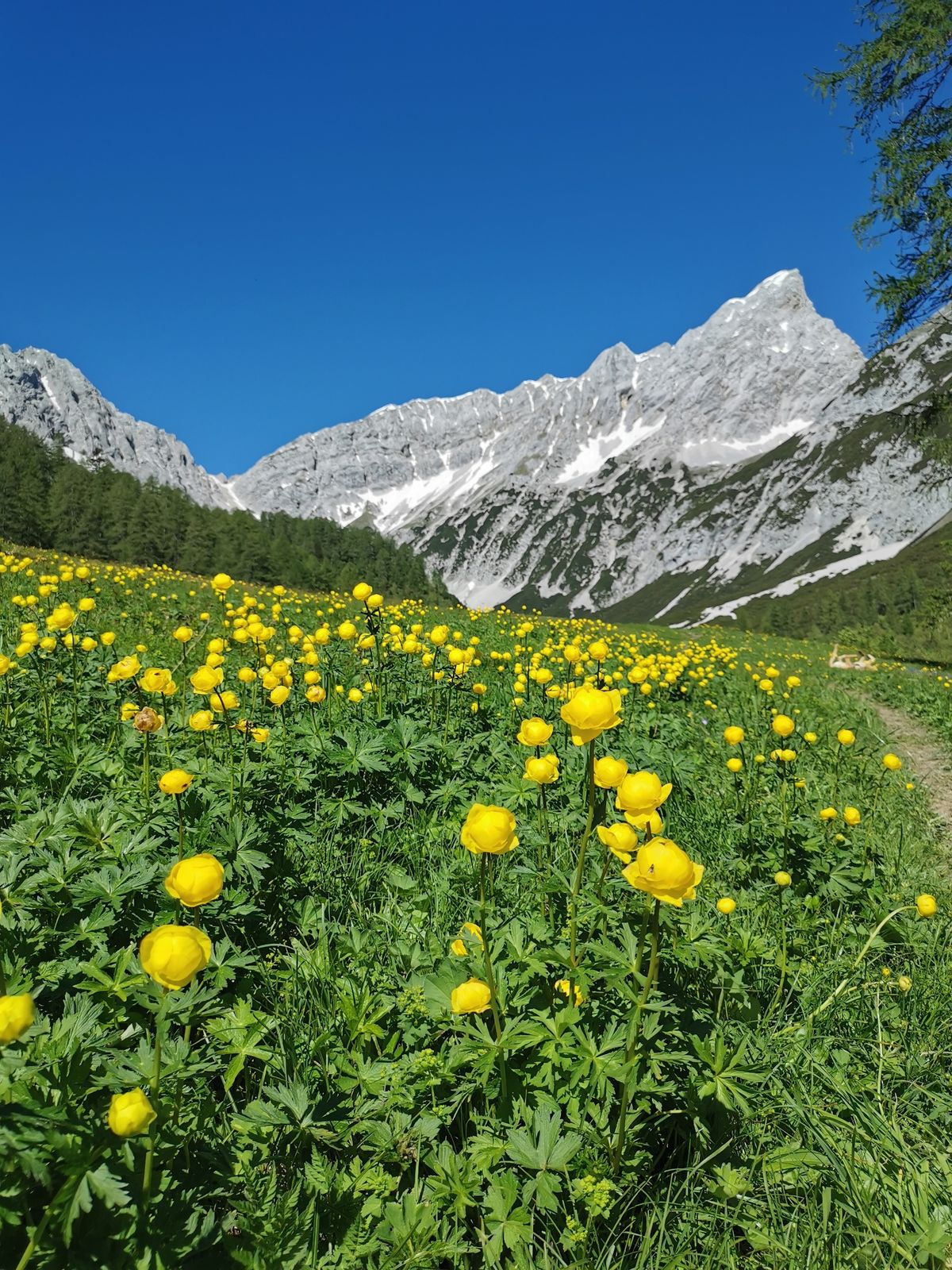
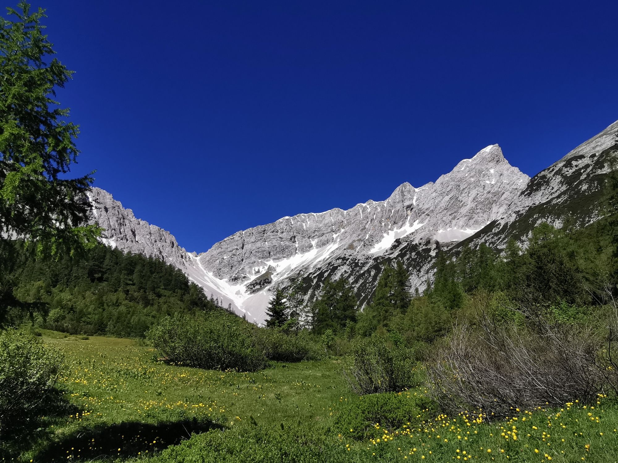
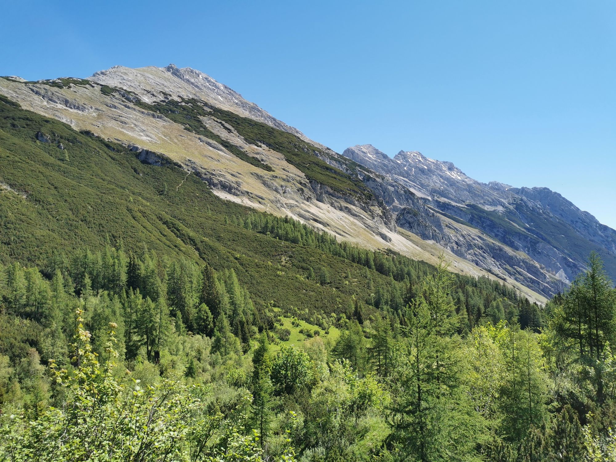
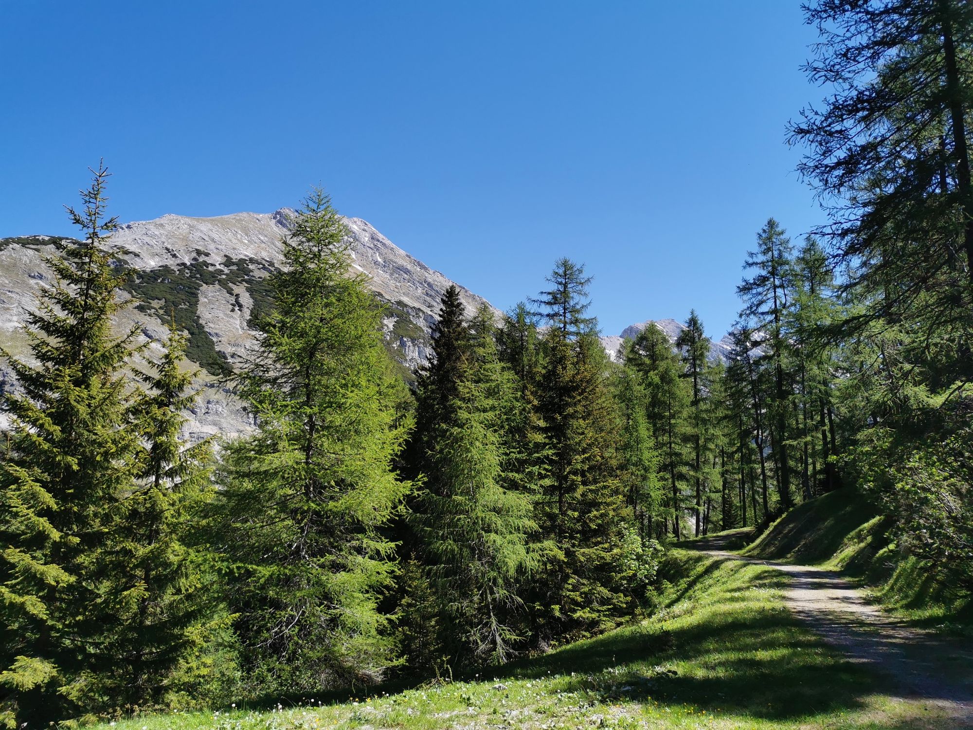
From brusque rock formations to a blooming meadows
- Vaikeus
-
tapa
- Arviointi
-
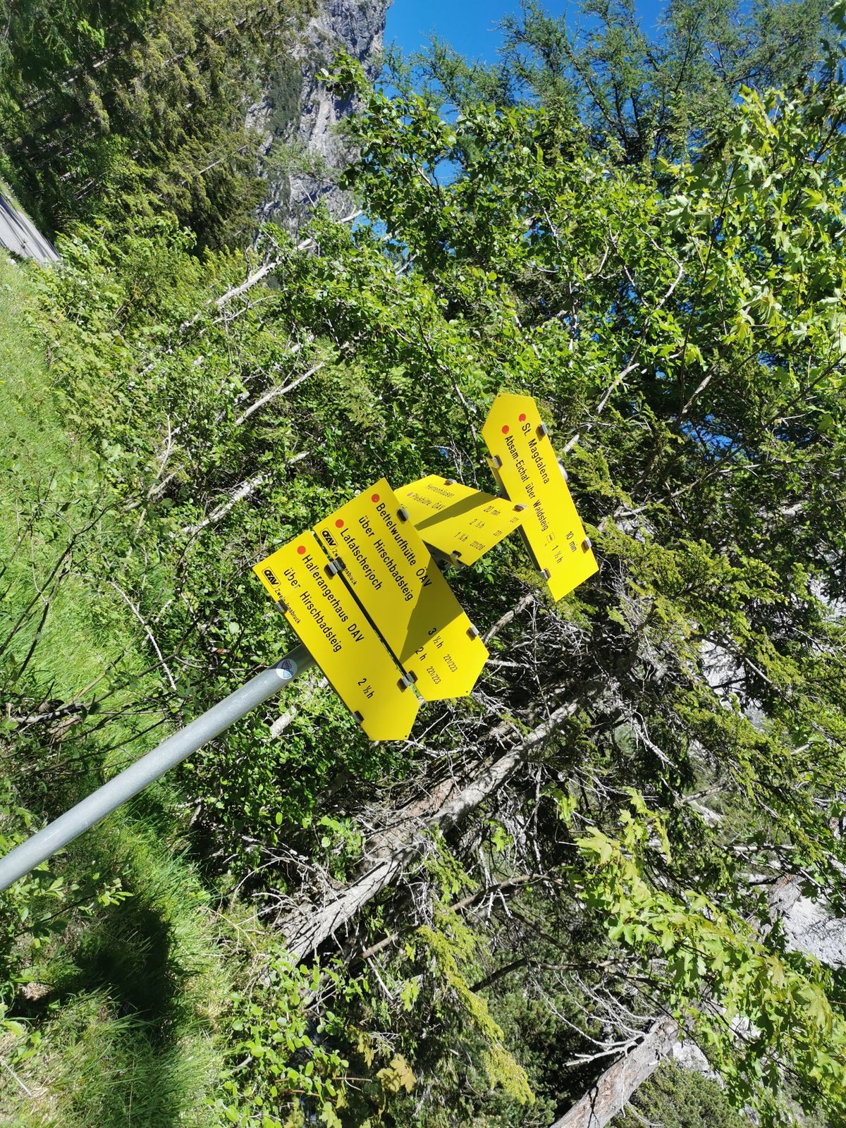
- Reitti
-
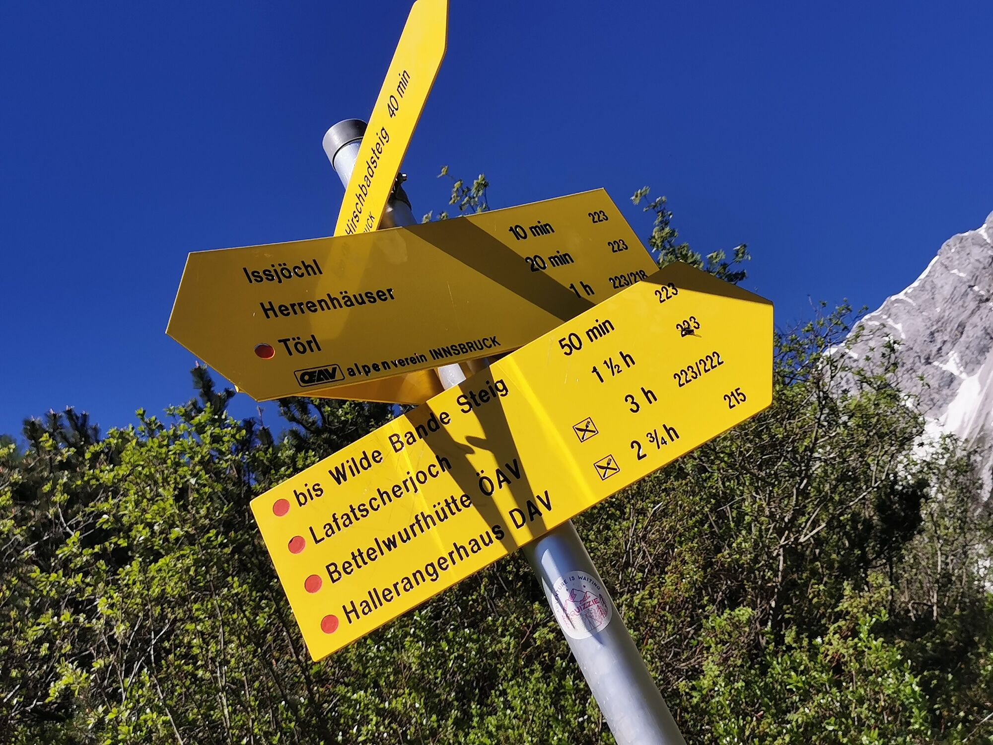
Bergerkapelle1,2 kmBettelwurfeck2,3 kmJakobibründlquelle2,3 kmKohlanger3,2 kmJausenstation St. Magdalena (1.287 m)3,5 kmHirschbad5,0 kmIssjöchl (1.668 m)7,1 kmHerrenhäuser (1.490 m)8,3 kmRuppertikapelle8,3 kmErzherzogberg (1.424 m)8,7 kmJausenstation St. Magdalena (1.287 m)10,1 kmKohlanger10,5 kmJakobibründlquelle11,4 kmBettelwurfeck11,4 kmBergerkapelle12,5 km
- Paras kausi
-
tammihelmimaalishuhtitoukokesäheinäelosyyslokamarrasjoulu
- Korkein kohta
- 1.663 m
- Kohde
-
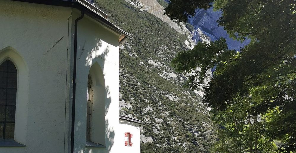
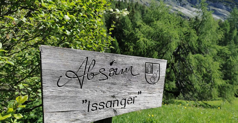
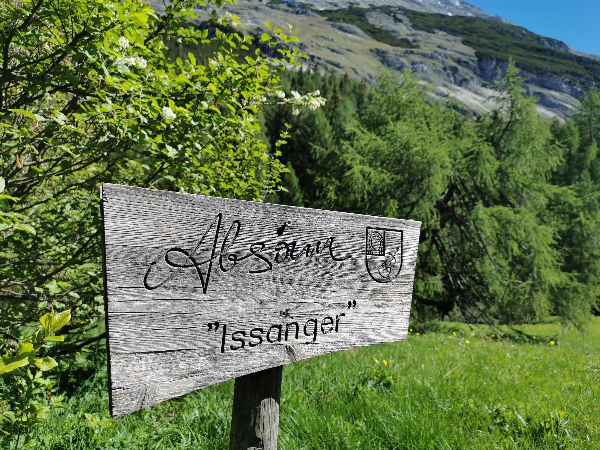
Absam, Eingang Halltal
- Korkeusprofiili
-


- Kirjoittaja
-
Kiertue Through the Halltal to the natural jewel Issanger käyttää outdooractive.com toimitettu.
GPS Downloads


Yleistä tietoa
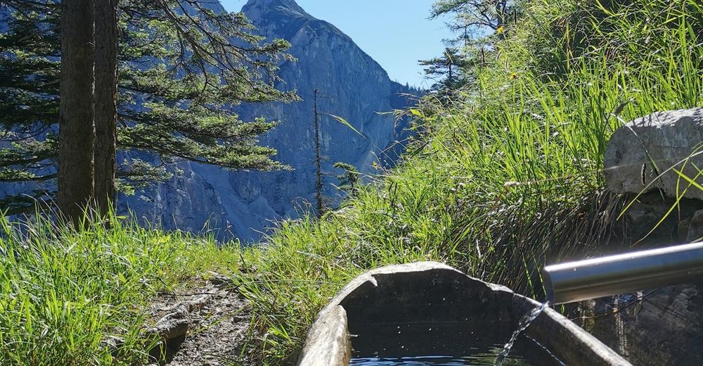
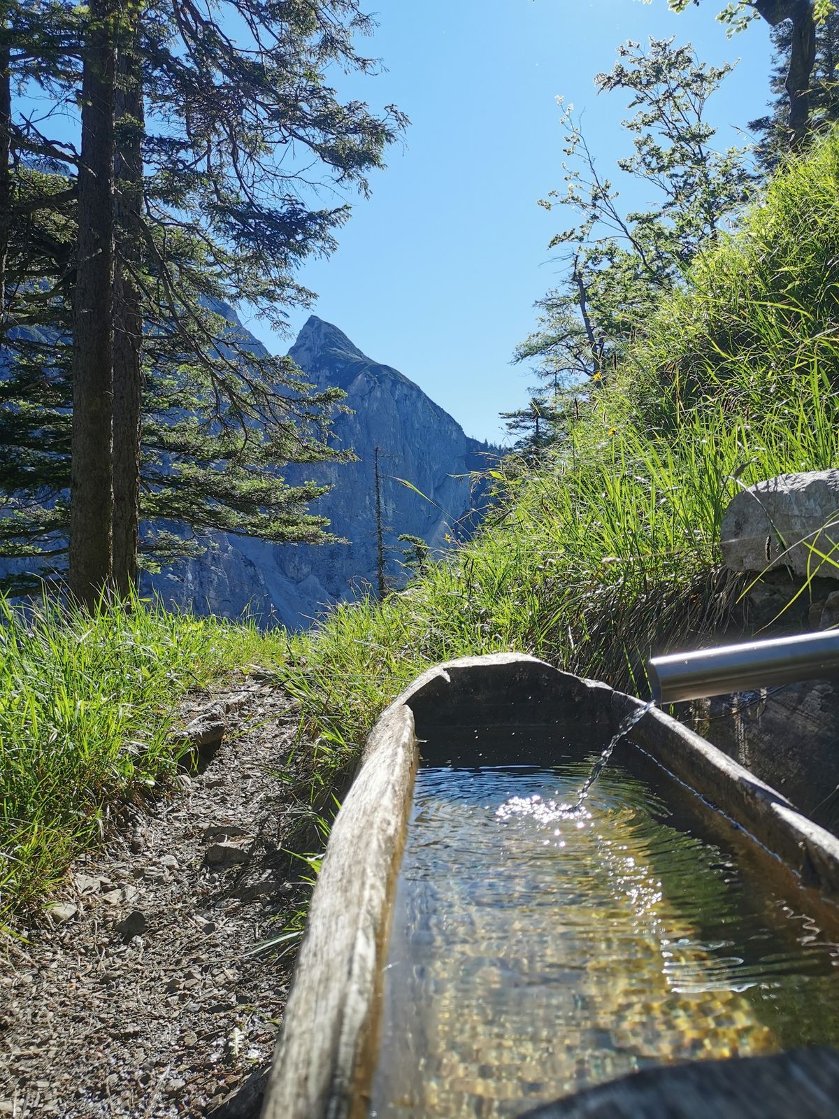
Virvokepysäkki
Sisäpiirin vinkki
Flora
Fauna
Lisää retkiä alueilla
-
Ferienregion Hall - Wattens
1491
-
Absam
347


