Retkitiedot
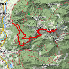
21,6km
626
- 1.737m
1.126hm
06:00h

- Lyhyt kuvaus
-
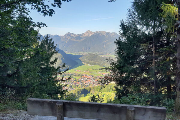
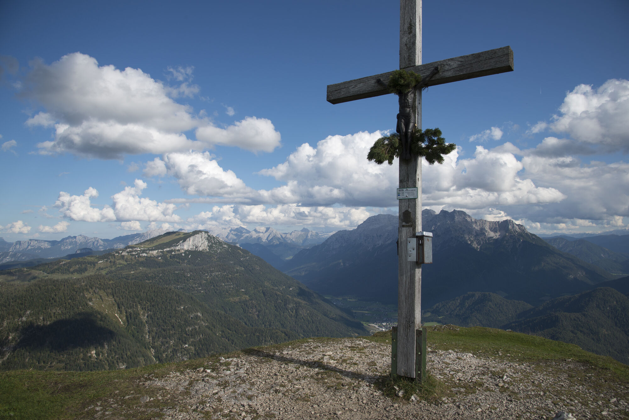
Strenger Aufstieg zum Fellhorn und fantastischer Rundblick
- Vaikeus
-
tapa
- Arviointi
-
- Lähtöpiste
-
Erpfendorf Zentrum
- Reitti
-
Filialkirche ErpfendorfErpfendorf0,0 kmFellhorn (1.765 m)8,7 kmLaufern18,1 kmErpfendorf21,5 kmFilialkirche Erpfendorf21,6 km
- Paras kausi
-
tammihelmimaalishuhtitoukokesäheinäelosyyslokamarrasjoulu
- Korkein kohta
- 1.737 m
- Lepo/Retriitti
-
Straubingerhaus
- Karttamateriaali
-
In allen Infobüros St. Johann in Tirol - Oberndorf - Kirchdorf
- Infopuhelin
-
Tourismusverband Kitzbüheler Alpen St. Johann in Tirol +43 (0)5352 63335-0
- Link
- https://www.kitzbueheler-alpen.com/de/st-johann
- Lähde
- Tourismusverband Kitzbüheler Alpen St. Johann in Tirol
GPS Downloads


Polun olosuhteet
Asfaltti
Sora
Niitty
Metsä
Kallio
Altistettu
Lisää retkiä alueilla