© TVB Wilder Kaiser - TVB Wilder Kaiser/von Felbert_Reiter

© TVB Wilder Kaiser

© TVB Wilder Kaiser - TVB Wilder Kaiser/DieWeltbelichterei

© TVB Wilder Kaiser

- Lyhyt kuvaus
-
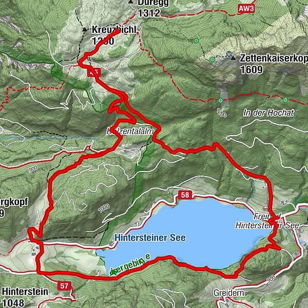
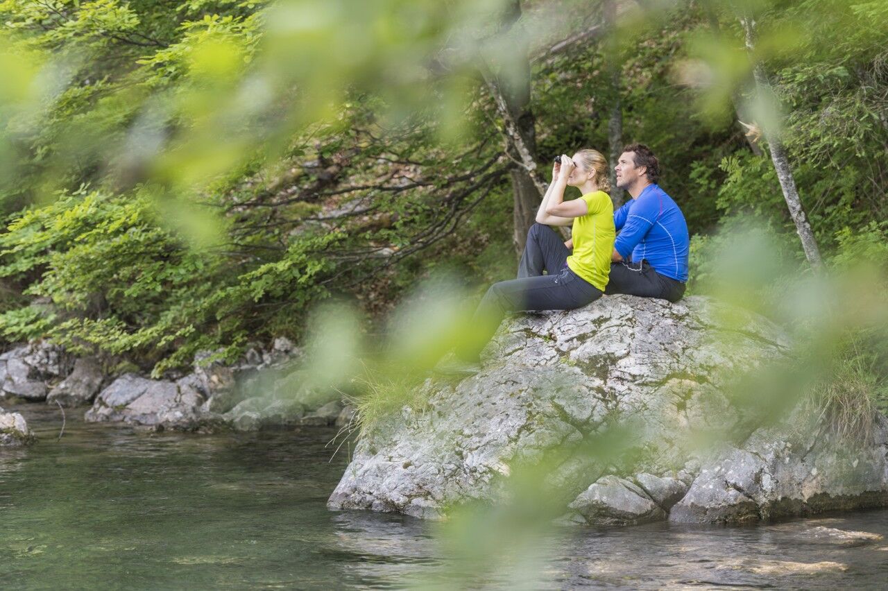
A picturesque mountain hike that leads from the turquoise waters of the most beautiful mountain lake in Tirol up to the rustic Alpine village.
- Vaikeus
-
tapa
- Arviointi
-
- Reitti
-
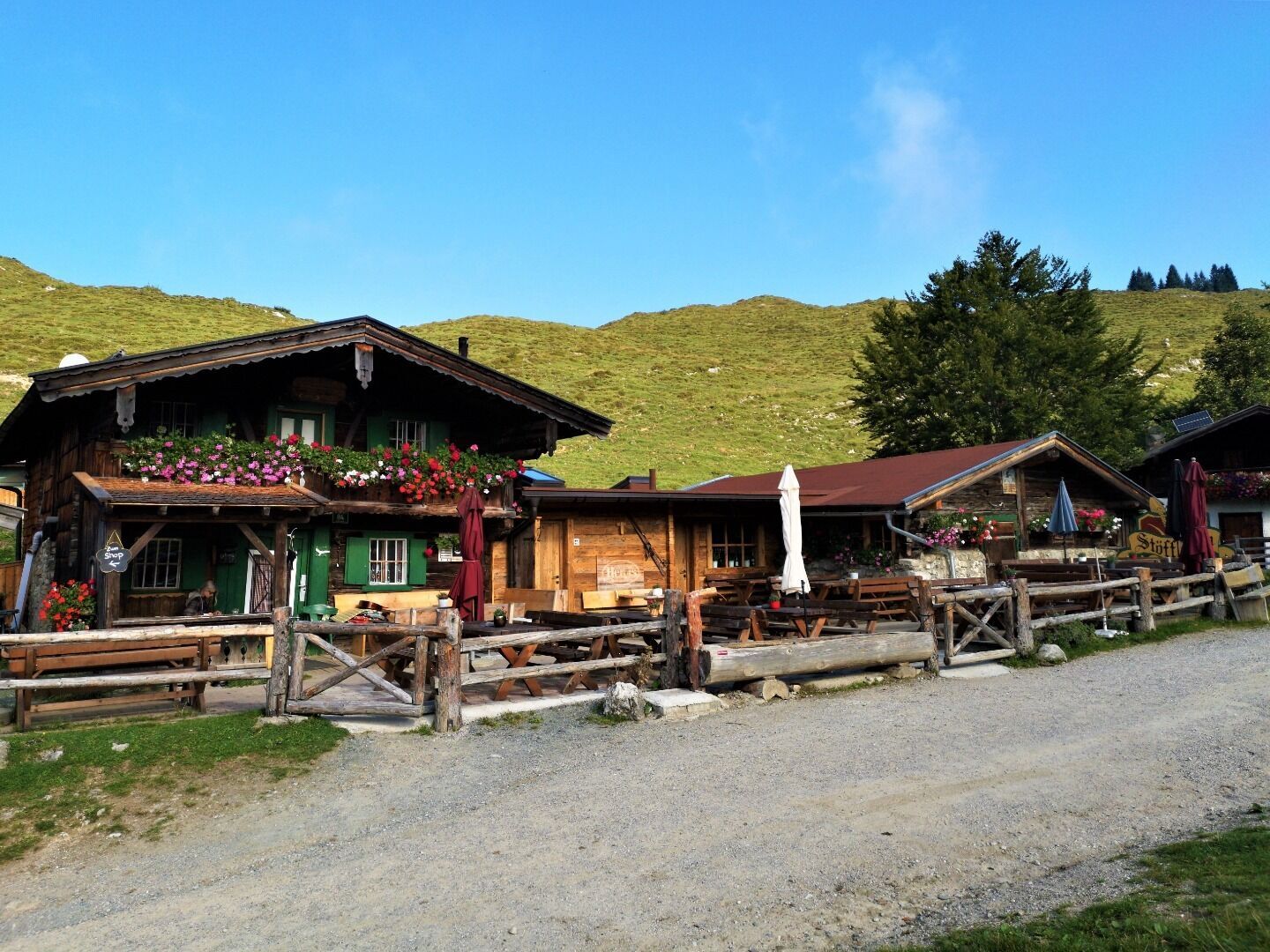
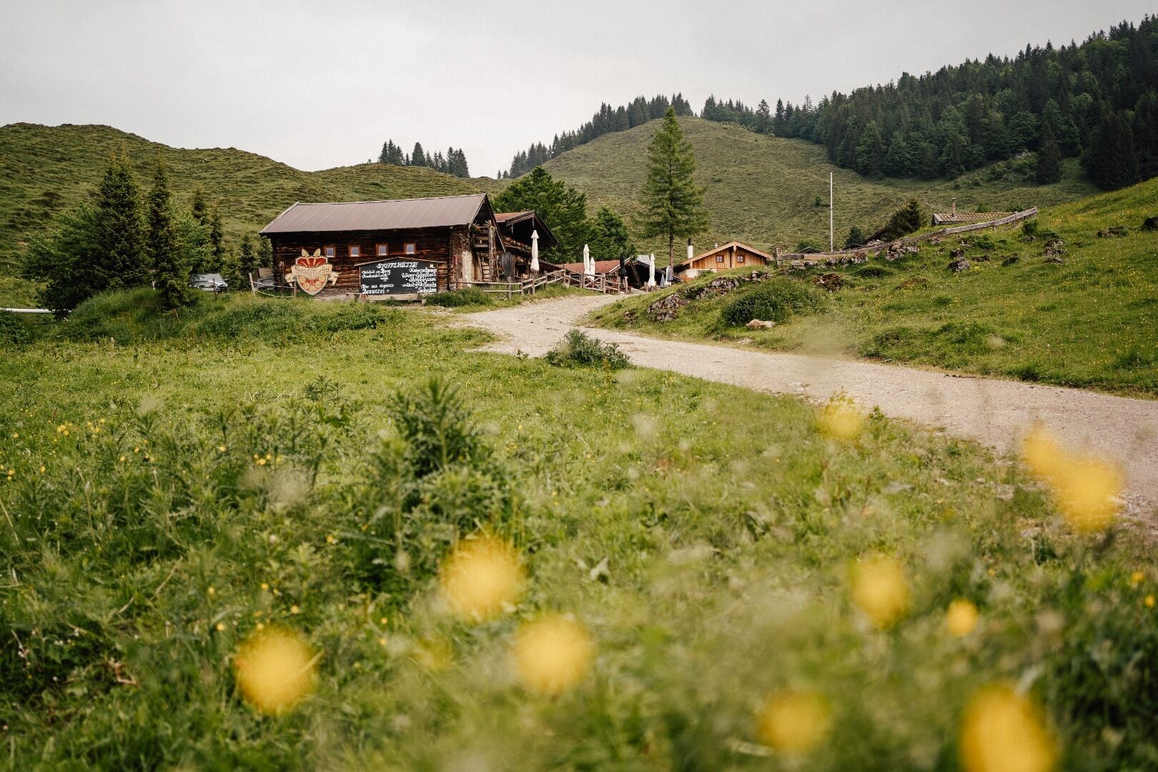
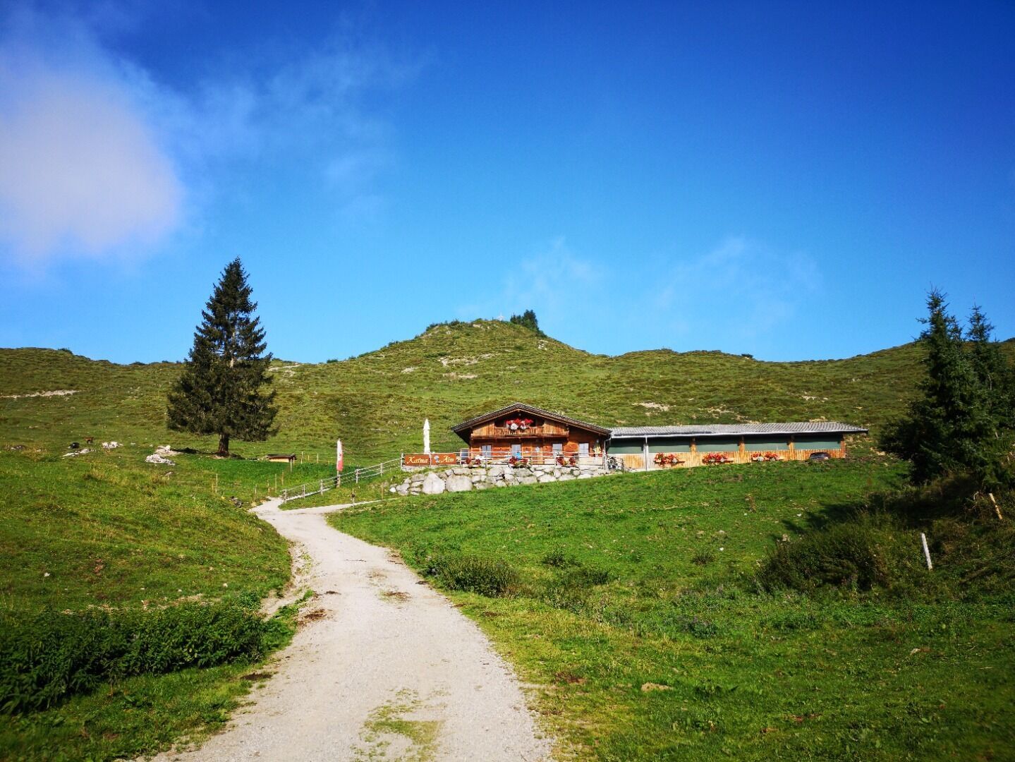
Seestüberl0,0 kmBichl0,2 kmStöfflhütte2,8 kmWalleralm3,0 kmPension Maier6,3 kmSeestüberl9,2 kmBichl9,3 km
- Paras kausi
-
tammihelmimaalishuhtitoukokesäheinäelosyyslokamarrasjoulu
- Korkein kohta
- 1.168 m
- Kohde
-
Hiking starting point Seestüberl, Scheffau (890 m)
- Korkeusprofiili
-

- Kirjoittaja
-
Kiertue From Hintersteiner See to the Walleralm käyttää outdooractive.com toimitettu.
GPS Downloads


Yleistä tietoa
Virvokepysäkki
Lupaava
Lisää retkiä alueilla
-
Kufsteinerland
2125
-
Scheffau am Wilden Kaiser
614