
Retkitiedot
6,9km
560
- 651m
366hm
01:43h
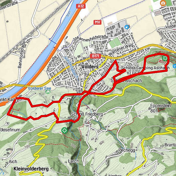
- Arviointi
-
- Reitti
-
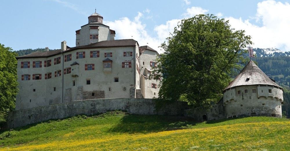
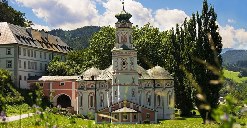
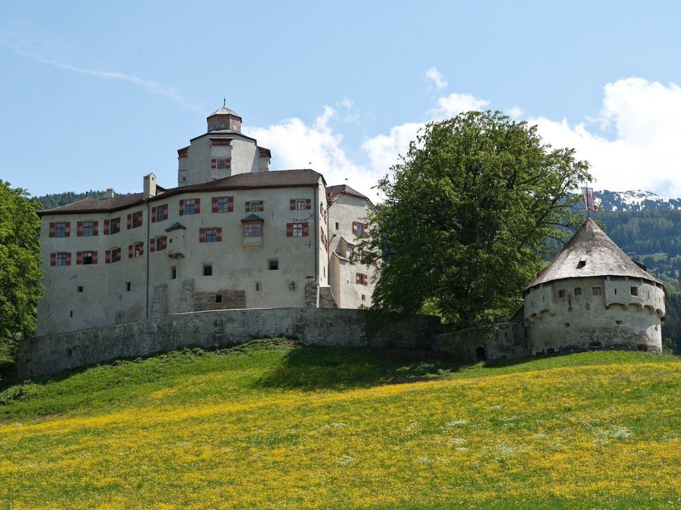
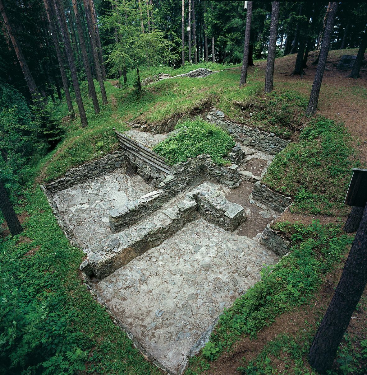
Unterberg1,4 kmWattens (564 m)3,0 kmBuggl3,7 kmPizzeria Del Sole5,0 kmVolders (558 m)5,4 kmKarlskirche6,7 km
- Korkein kohta
- 651 m

GPS Downloads

Lisää retkiä alueilla
-
Ferienregion Hall - Wattens
1479
-
Volders
321


