Retkitiedot
8,53km
708 - 1.292m
Distanz
568hm
591hm
Nousu
03:09h
 
Kesto
Lyhyt kuvaus

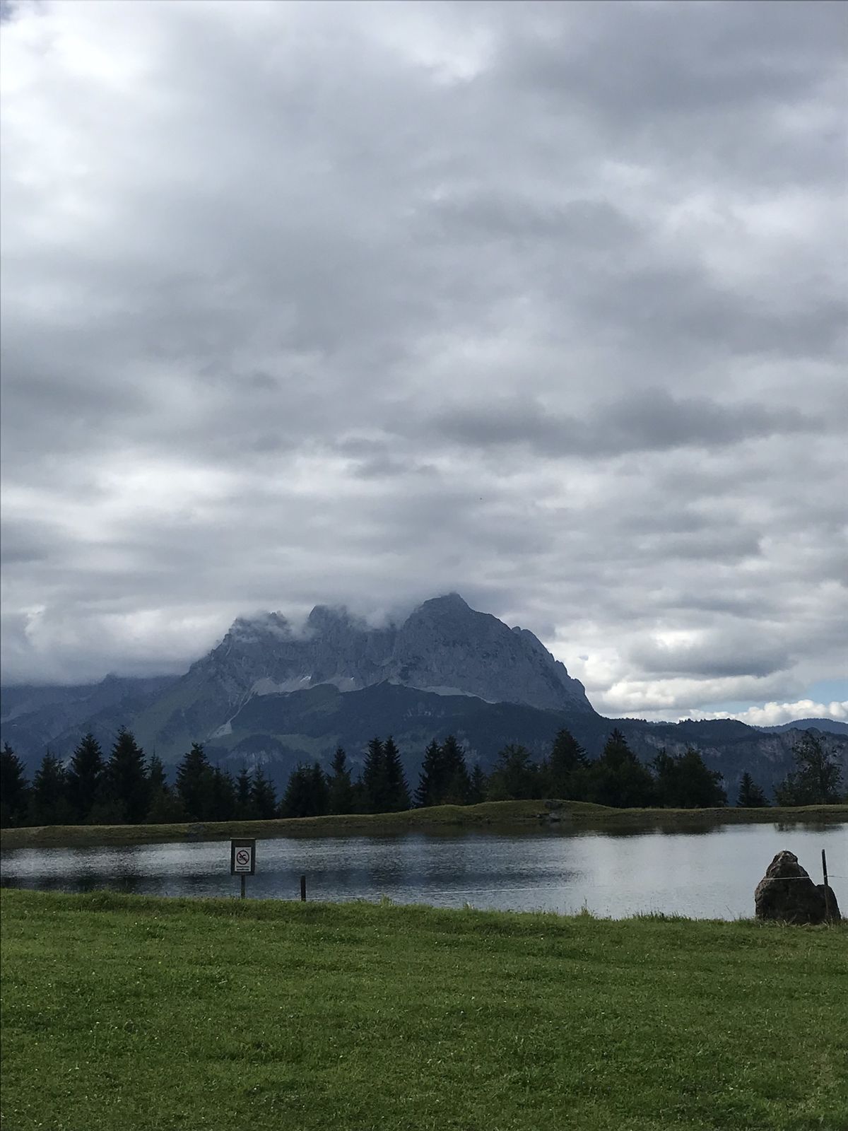
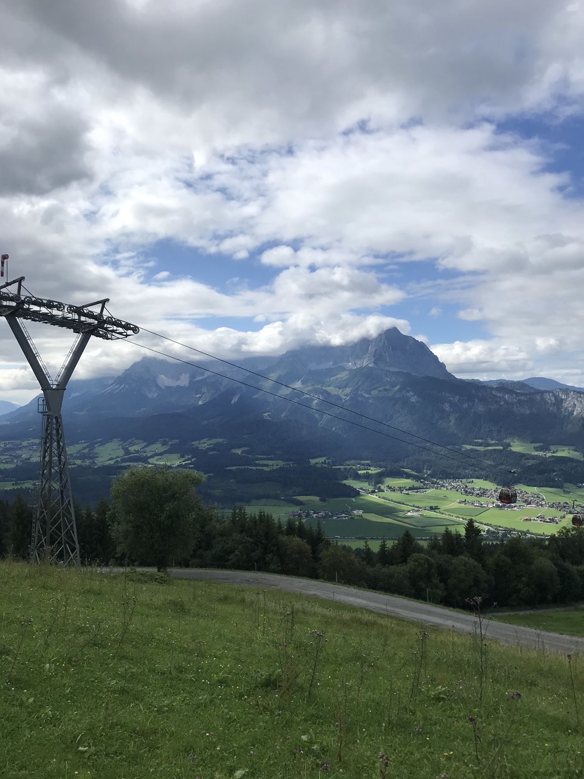
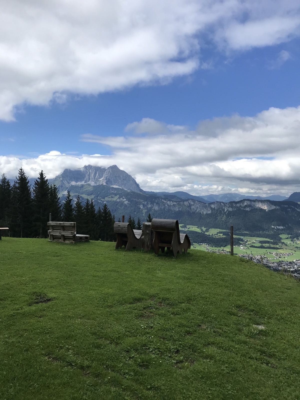
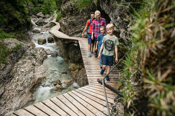
Lärchenbichl Wanderweg

Vaikeus
tapa
Arviointi
Tekniikka
Kunto
Maisema
Elämys
Reitti
Koasaburg
3,0 km
Angerer Alm
3,9 km
Sichelbuch Angereralm
4,4 km
Almen am Kitzbüheler Horn
4,6 km
Harschbichl Mittelstation
5,0 km
Pointenhof
6,5 km

Korkein kohta
1.292 m

Yleinen luokitus

5

0

%

4

0

%

3

0

%

2

0

%

1

0

%

Virhe
On tapahtunut virhe. Yritä uudelleen.
Kiitos arvostelusta

Luokitus poistettiin

GPS Downloads
  • GPX GPS Exchange Format (XML)
  • KML Google Earth, Google Maps
QR-latauskoodit matkapuhelimiin

Suosittuja retkiä alueella

Unterberghorn

tapa
7,53km | 1048hm | 06:00h

Kaisertal Rund-Wanderung

tapa
13,94km | 887hm | 03:29h

Hintersteiner See circular walk

helppo
5,24km | 93hm | 01:30h

Erpfendorf: Griesbachklamm

tapa
10km | 488hm | 04:30h