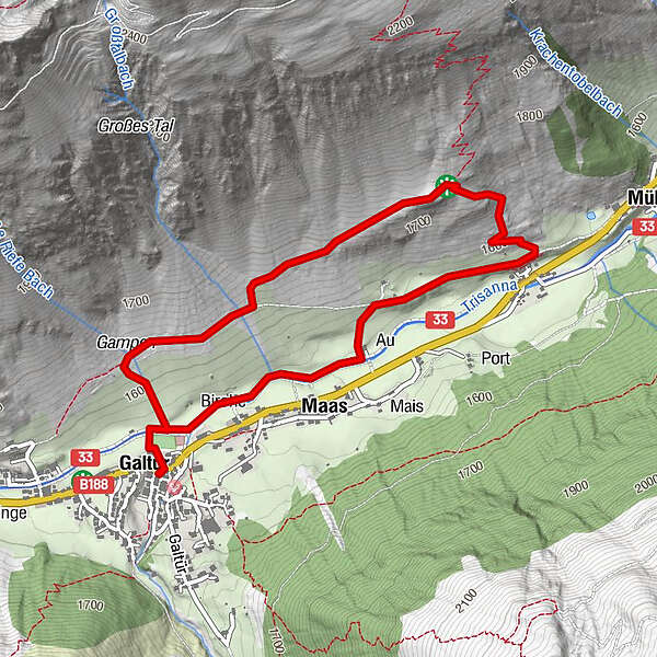
Retkitiedot
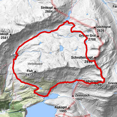
4,96km
1.549
- 1.743m
214hm
211hm
02:00h
- Vaikeus
-
helppo
- Arviointi
-
- Lähtöpiste
-
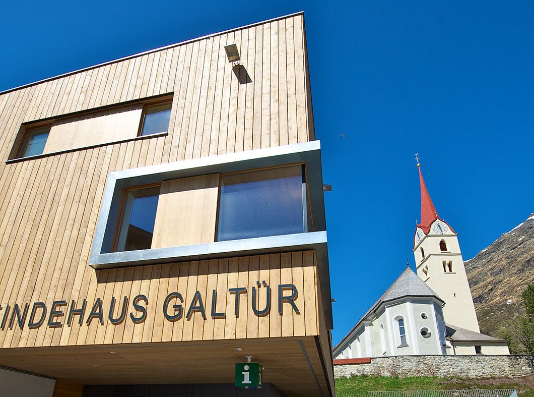
Galtür village square.
- Reitti
-
Galtür (1.582 m)EggSonnenkopf2,1 kmTschafein2,8 kmMaas3,9 kmUnterrain4,1 kmGaltür (1.582 m)4,9 kmEgg4,9 km
- Korkein kohta
- 1.743 m
- Kohde
-
Galtür village square.
- Karttamateriaali
-
TVB Paznaun-Ischgl Infobüro Galtür


GPS Downloads
Polun olosuhteet
Asfaltti
Sora
Niitty
Metsä
Kallio
Altistettu
Lisää retkiä alueilla
-
Paznaun - Ischgl
985
-
Galtür
252