Retkitiedot
5,88km
1.563
- 1.690m
161hm
187hm
01:51h

- Lyhyt kuvaus
-
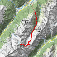
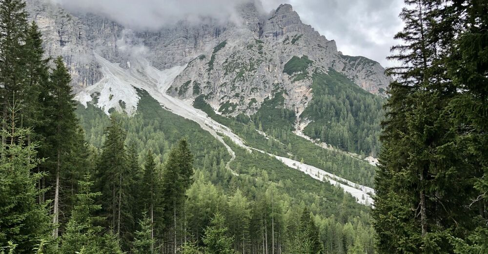
Ochsenhütte rundweg
- Vaikeus
-
helppo
- Arviointi
-
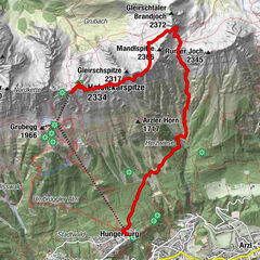
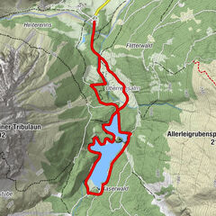
- Reitti
-
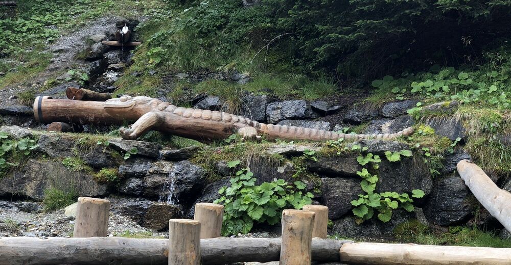
Koppeneckplattform0,1 kmAussichtsplattform Serlesblick3,1 kmAussichtsplattform Karwendelblick3,5 kmZangger Brunnen4,3 kmOchsenhütte5,0 km
- Korkein kohta
- 1.690 m


GPS Downloads


Lisää retkiä alueilla
-
Gschnitztal
1039
-
Mieders
415