

© Ötztal - Roland Grüner

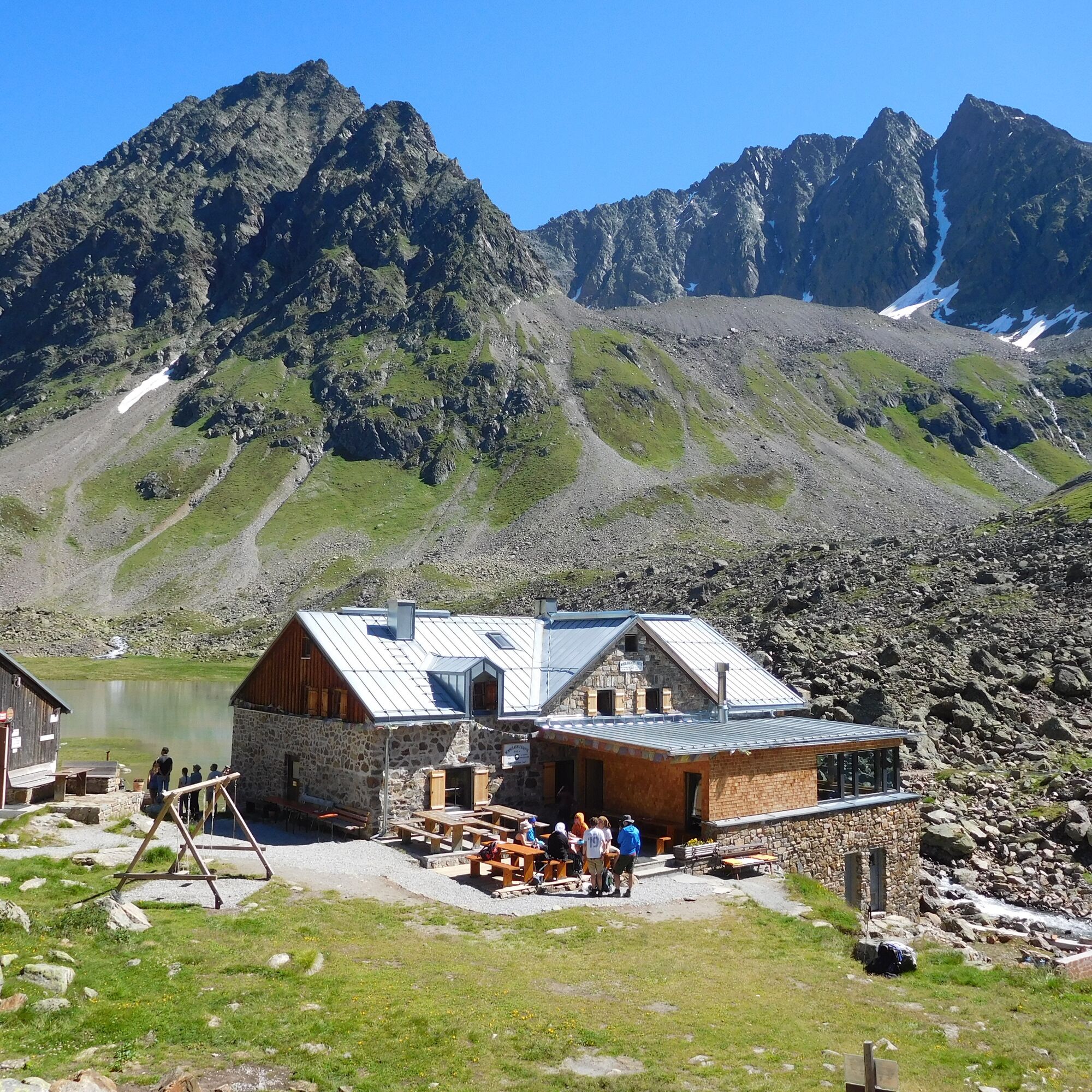
© DAV Sektion Hof - Jochen Pfaff

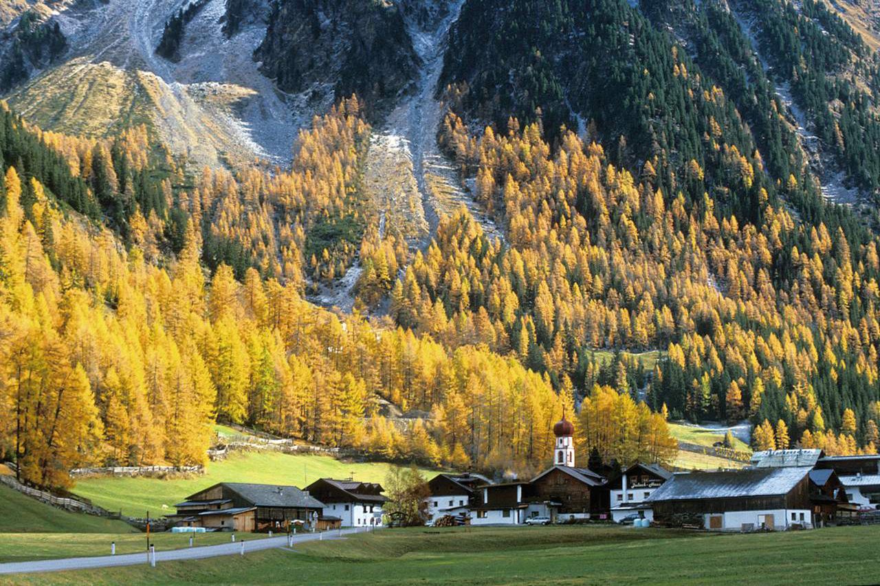
© Ötztal - Ötztal Tourismus Büro Längenfeld
- Lyhyt kuvaus
-
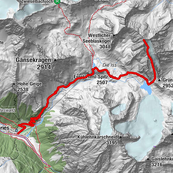
GRIES -> Winnebach -> Winnebachsee Hütte -> HOHER SEEBLASKOGEL
- Vaikeus
-
vaikea
- Arviointi
-
- Reitti
-
Gries (1.569 m)Pension Winnebach0,8 kmWinnebachseehütte4,6 kmErnst-Riml-Spitz (2.507 m)5,4 kmHoher Seeblaskogel (3.235 m)8,4 km
- Paras kausi
-
tammihelmimaalishuhtitoukokesäheinäelosyyslokamarrasjoulu
- Korkein kohta
- 3.214 m
- Kohde
-
Hoher Seeblaskogel
- Korkeusprofiili
-


- Kirjoittaja
-
Kiertue Hoher Seeblaskogel 3235m - Längenfeld/Gries käyttää outdooractive.com toimitettu.
GPS Downloads


Yleistä tietoa
Lupaava
Lisää retkiä alueilla
-
Ötztal
1111
-
Längenfeld - Huben - Gries
355


