Bike & Hike Kappl - Langesthei mit Wanderung Pezinerspitze


Retkitiedot
33,73km
1.267
- 2.267m
1.400hm
1.400hm
03:15h

- Lyhyt kuvaus
-
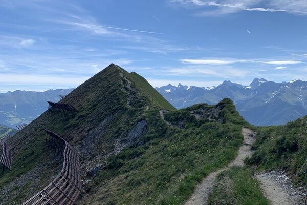
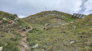
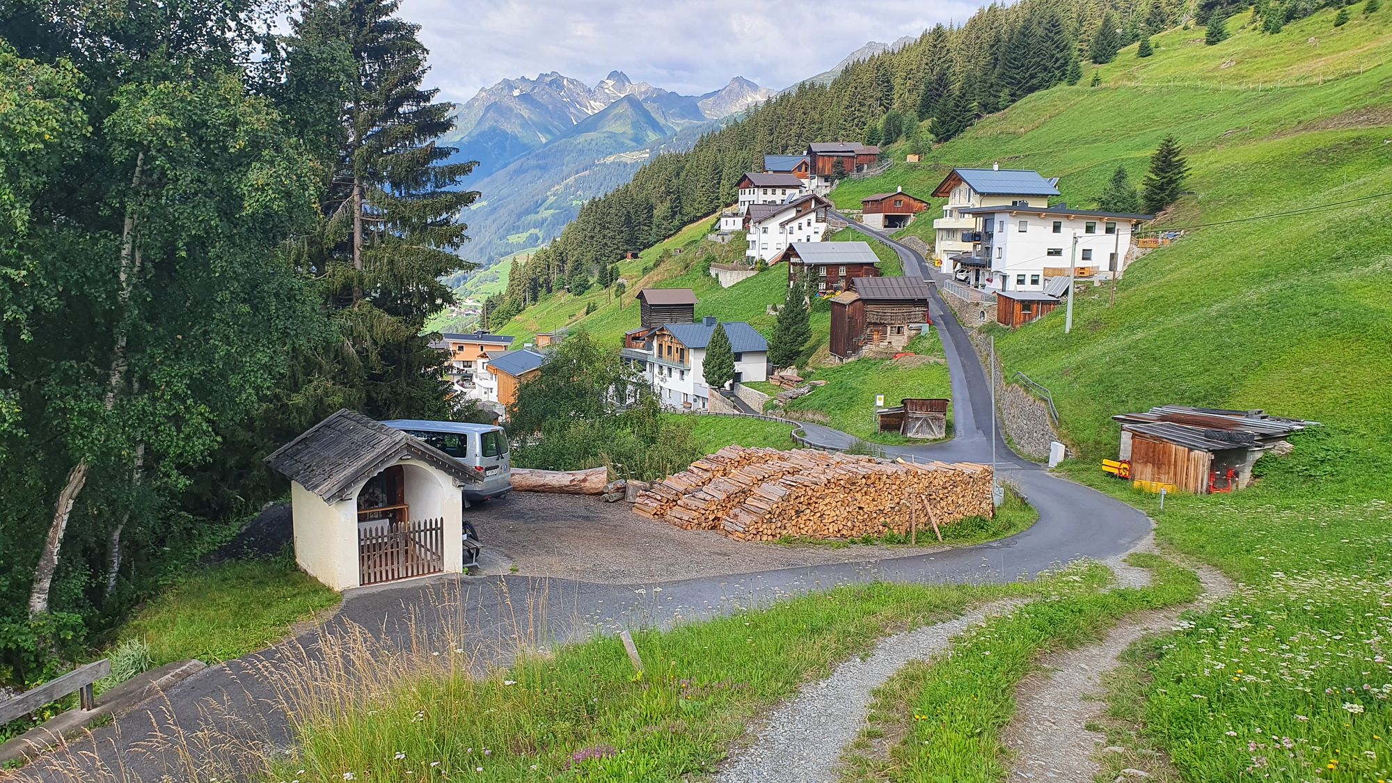
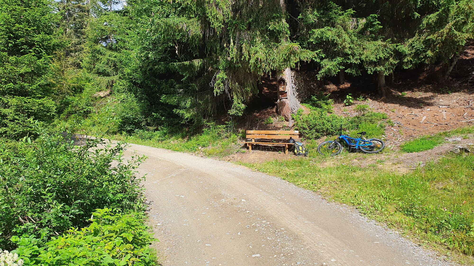
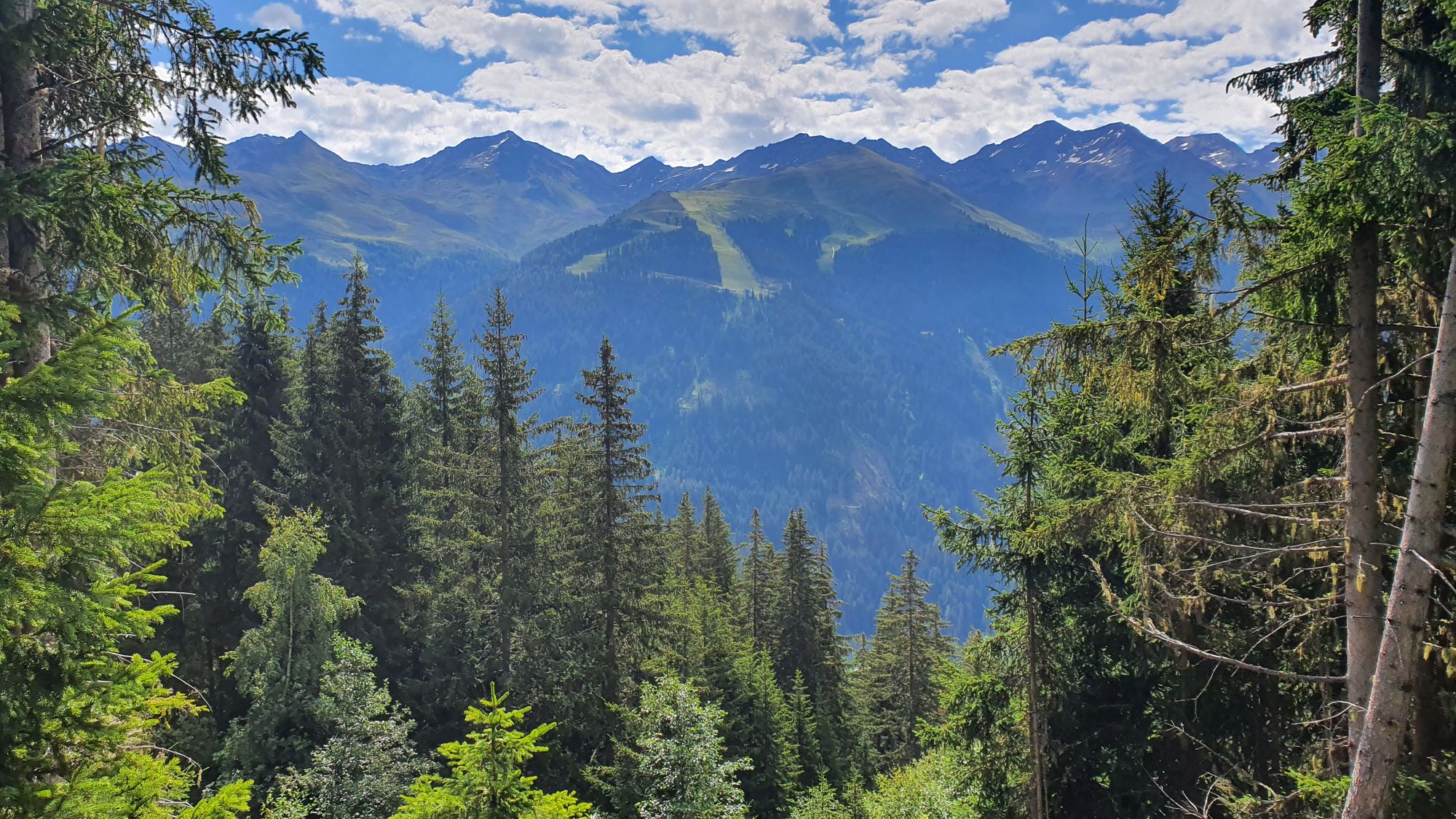
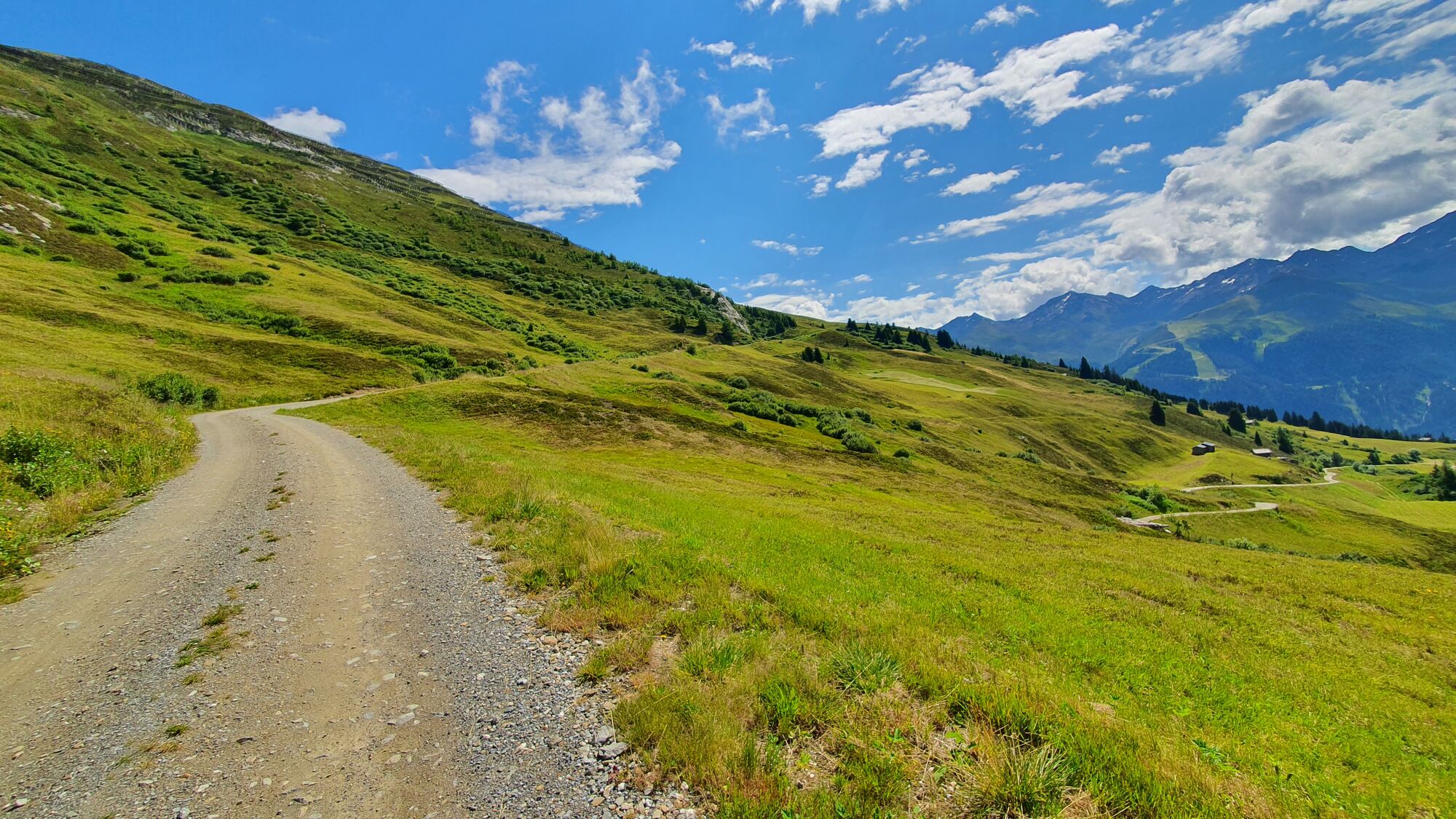
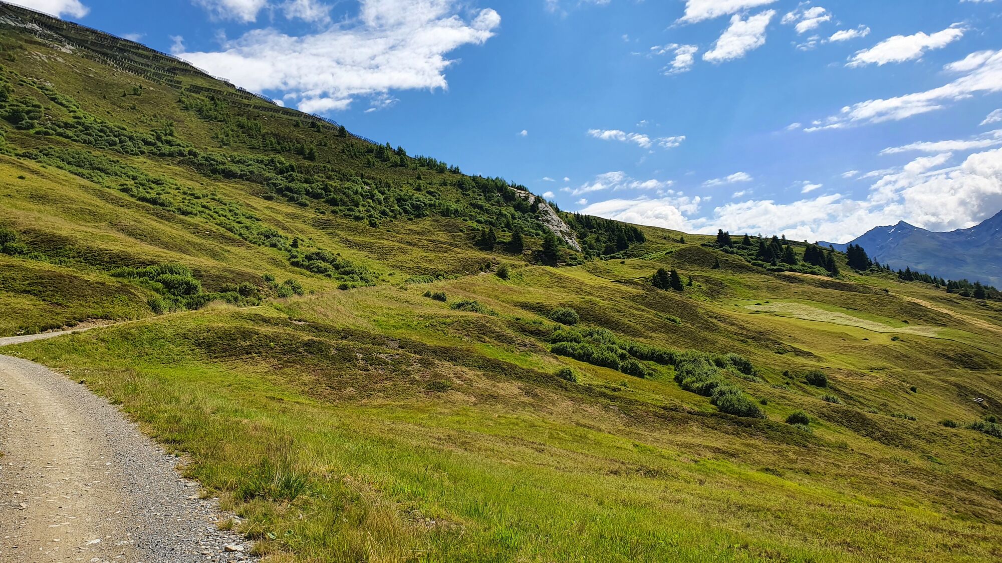
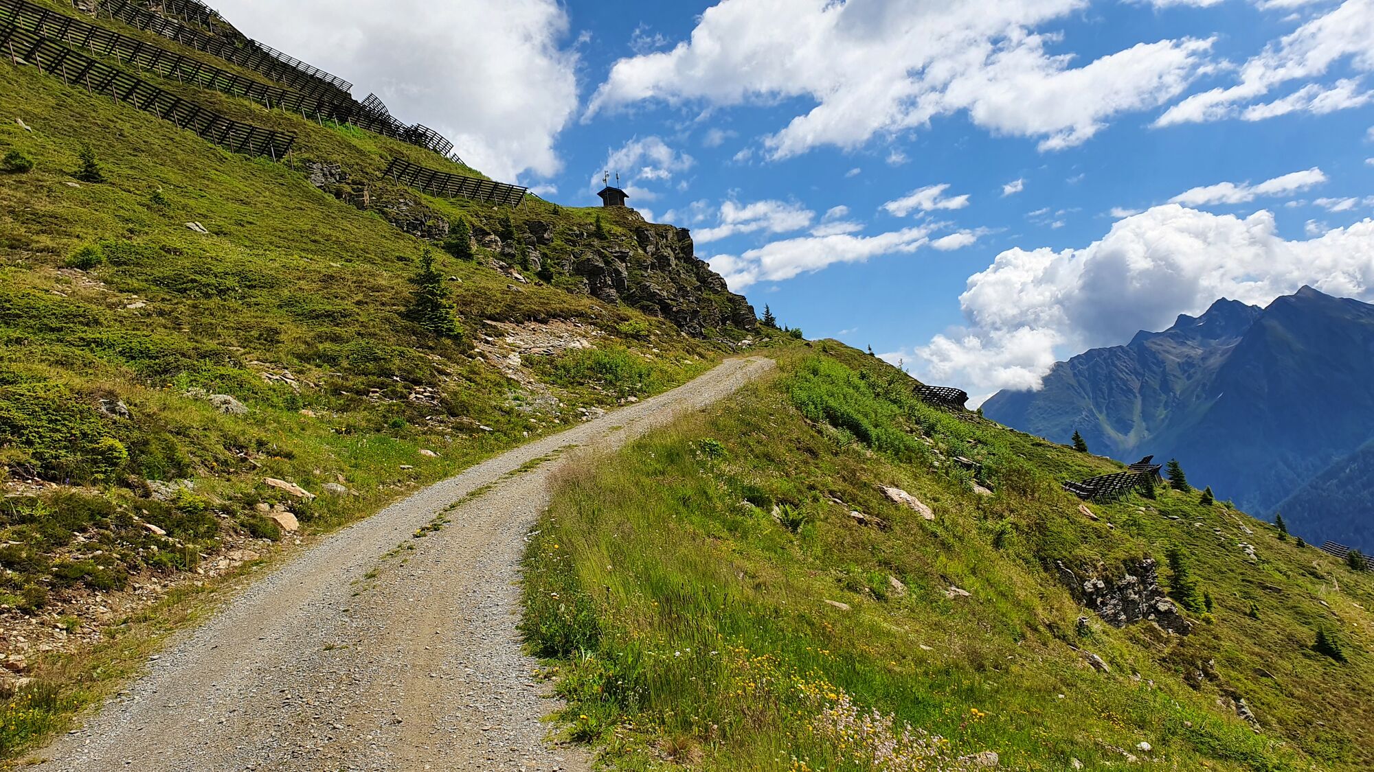
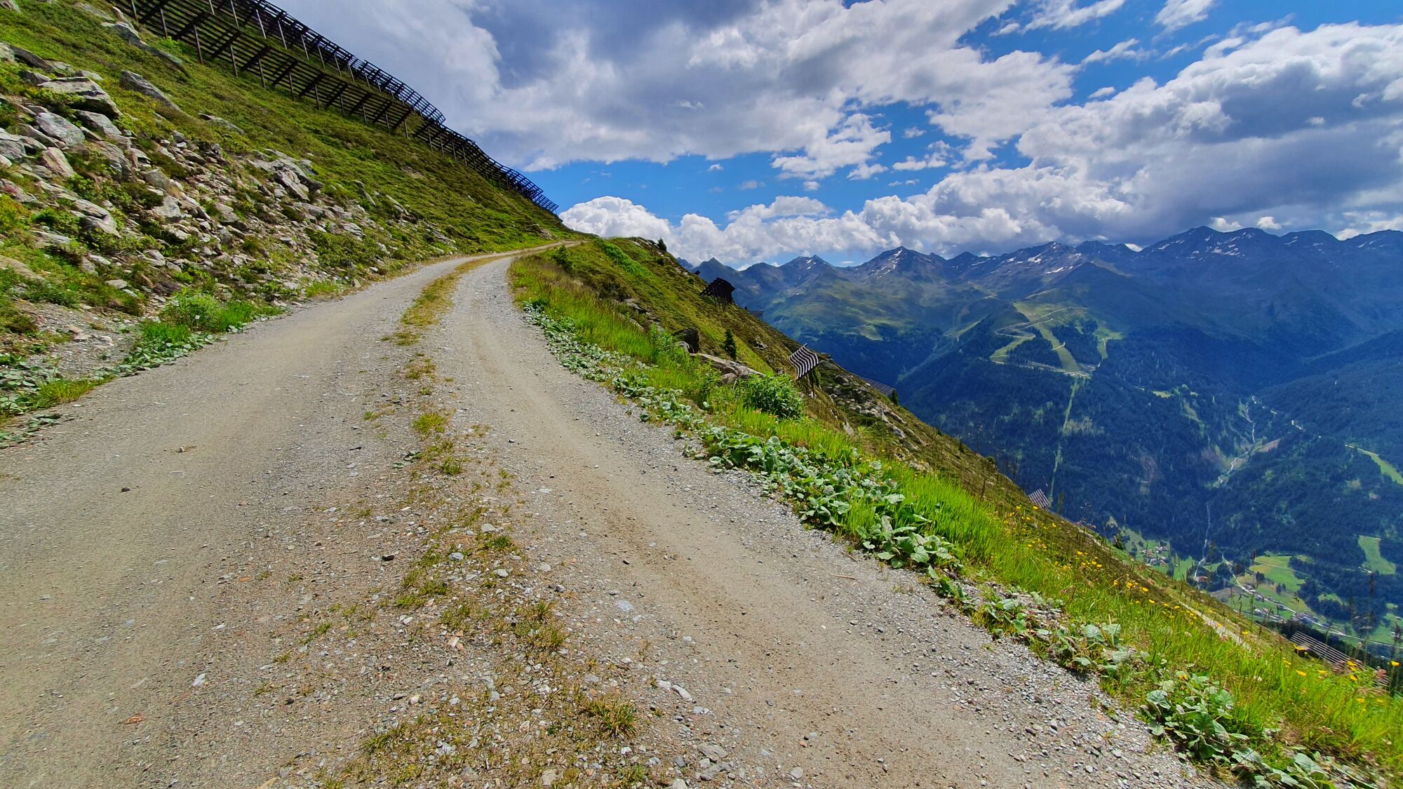
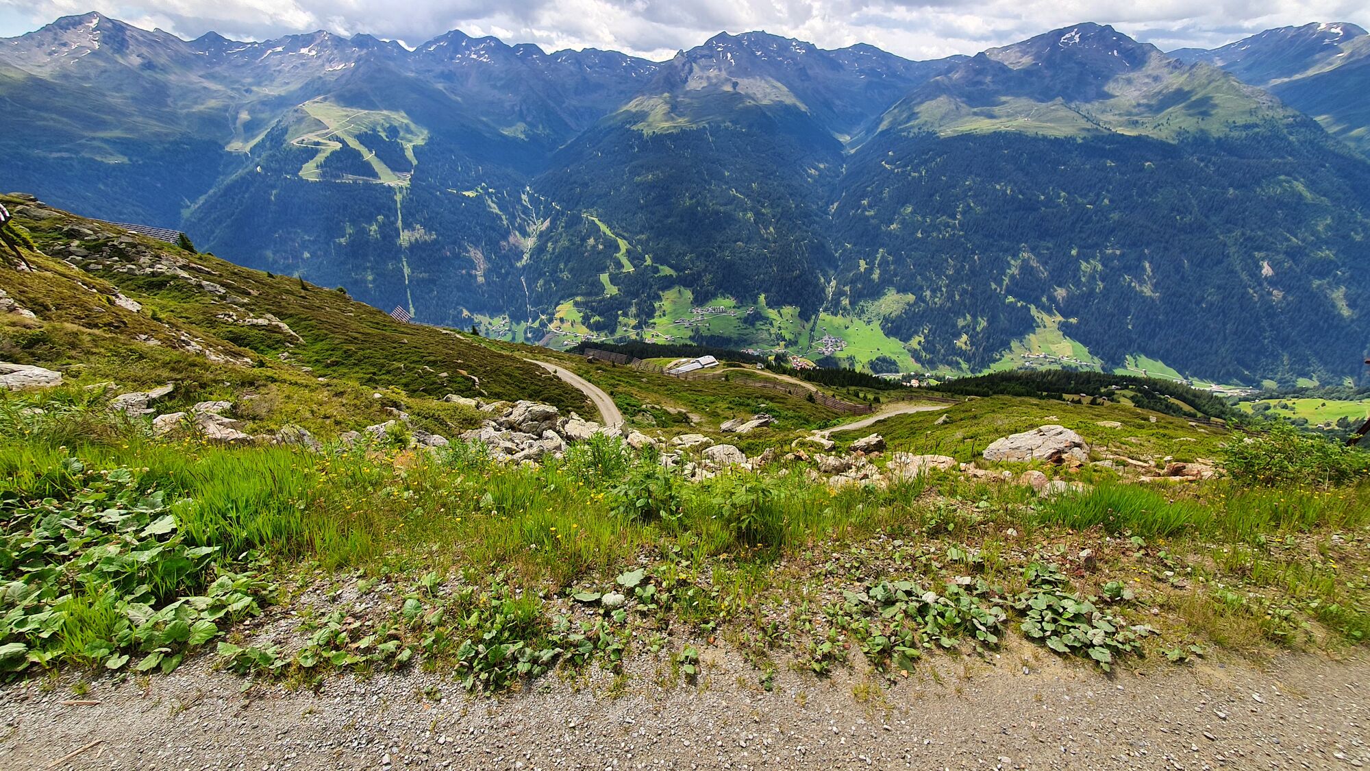
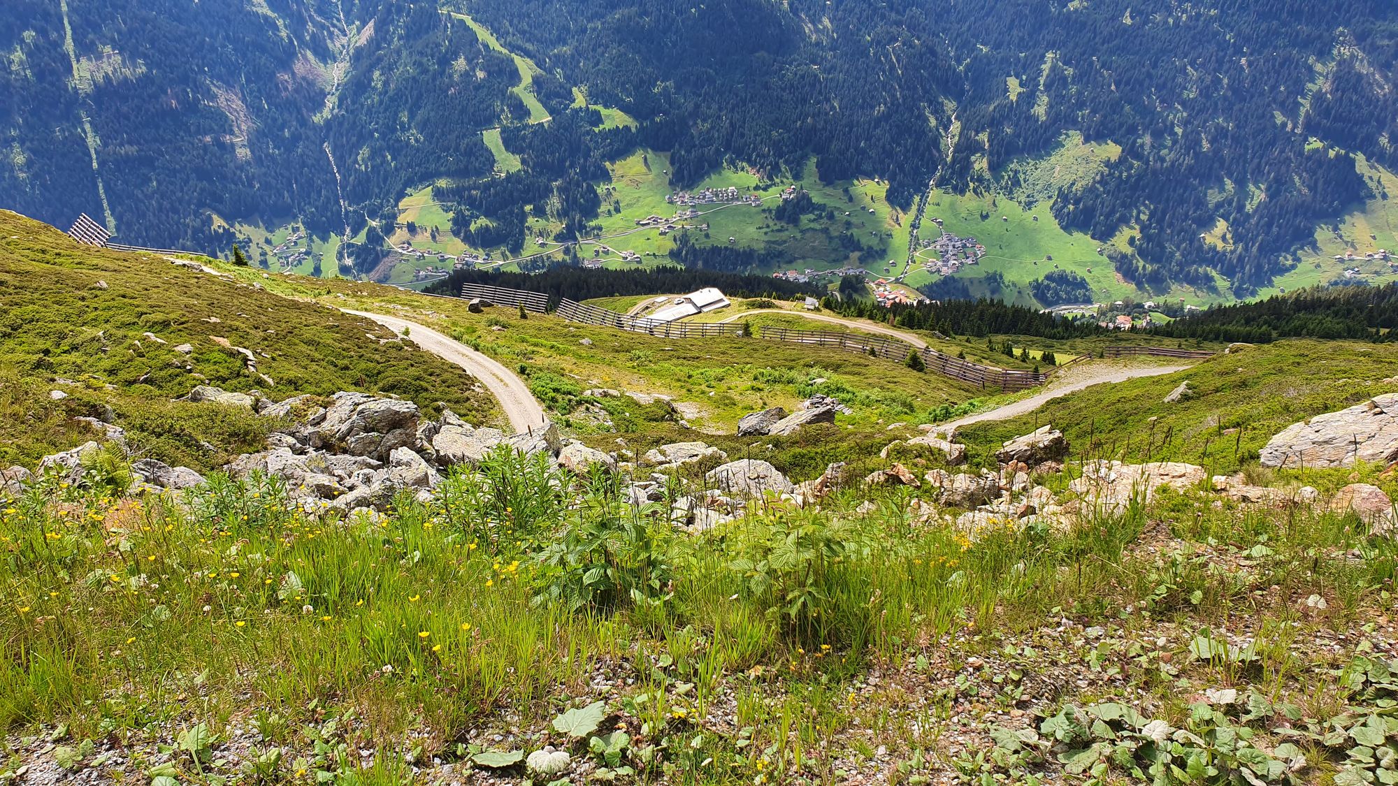
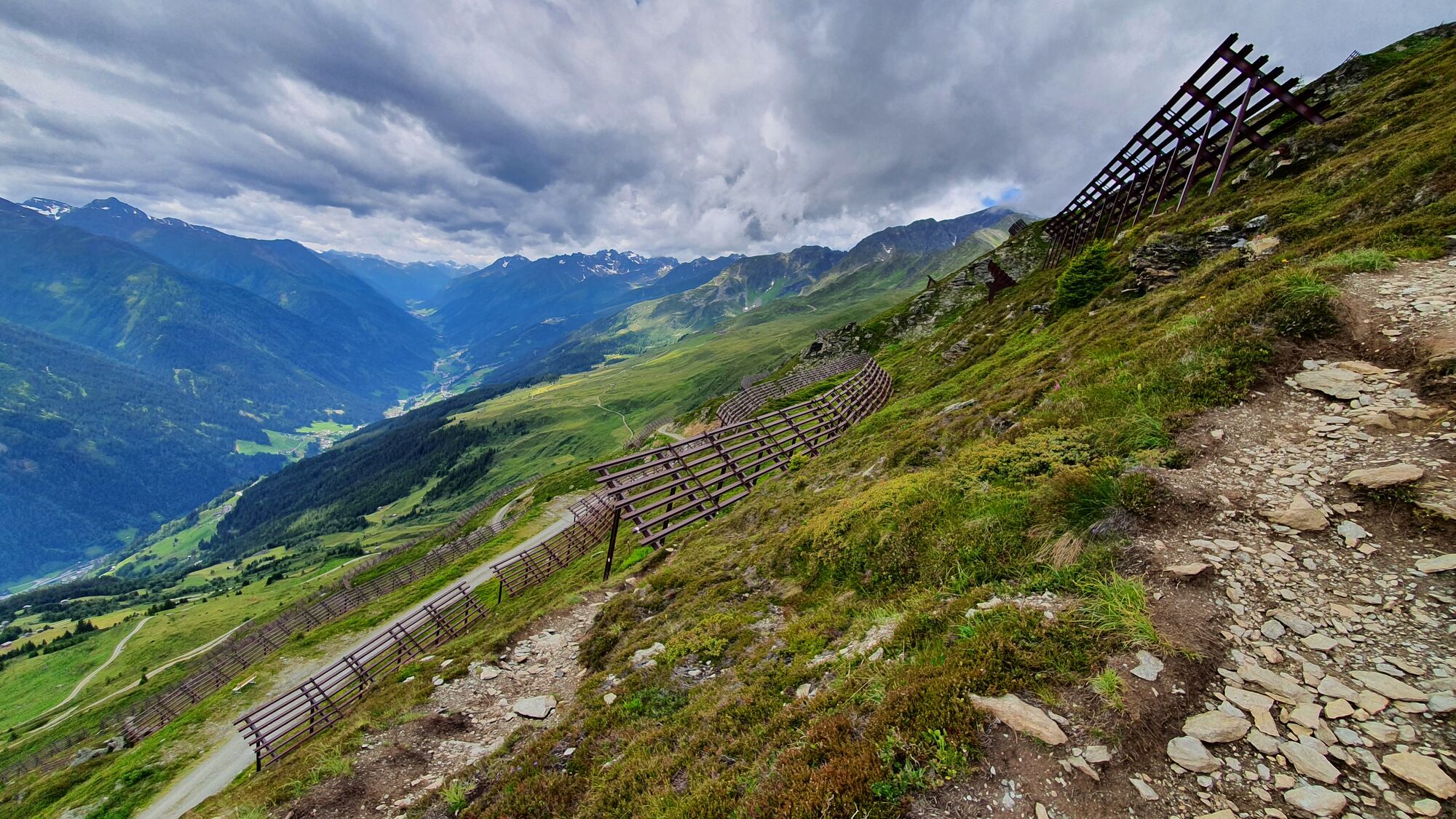
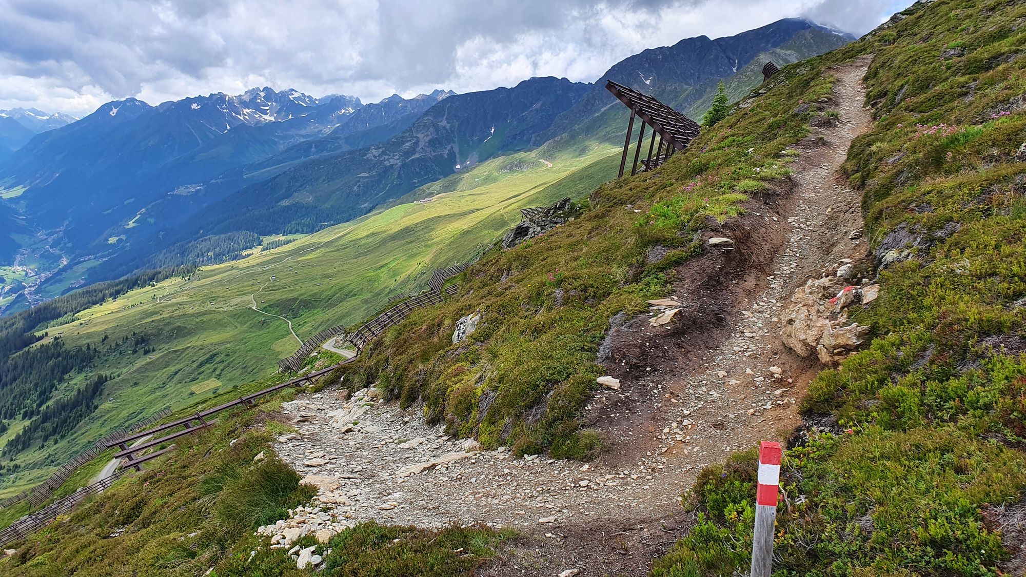
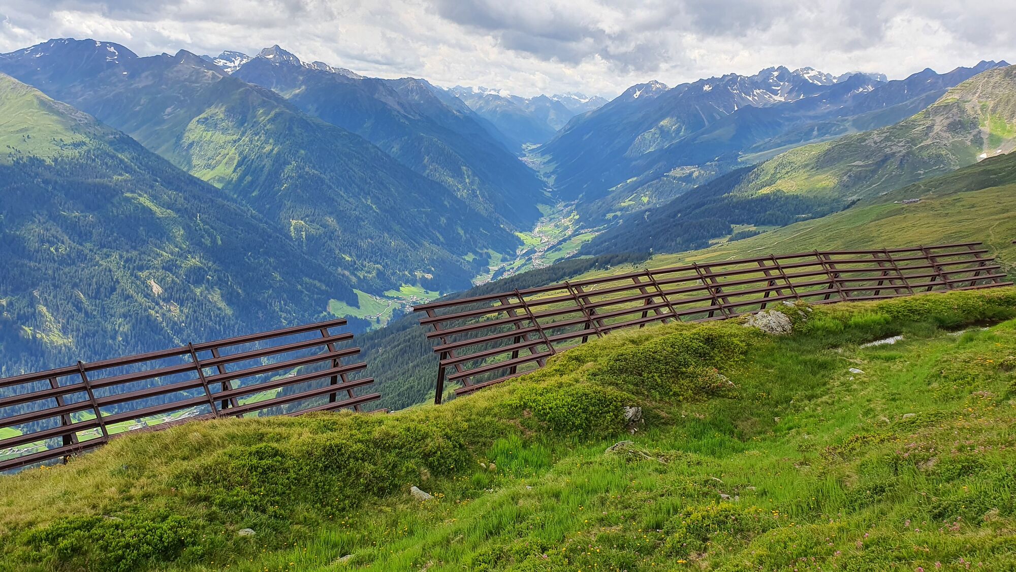
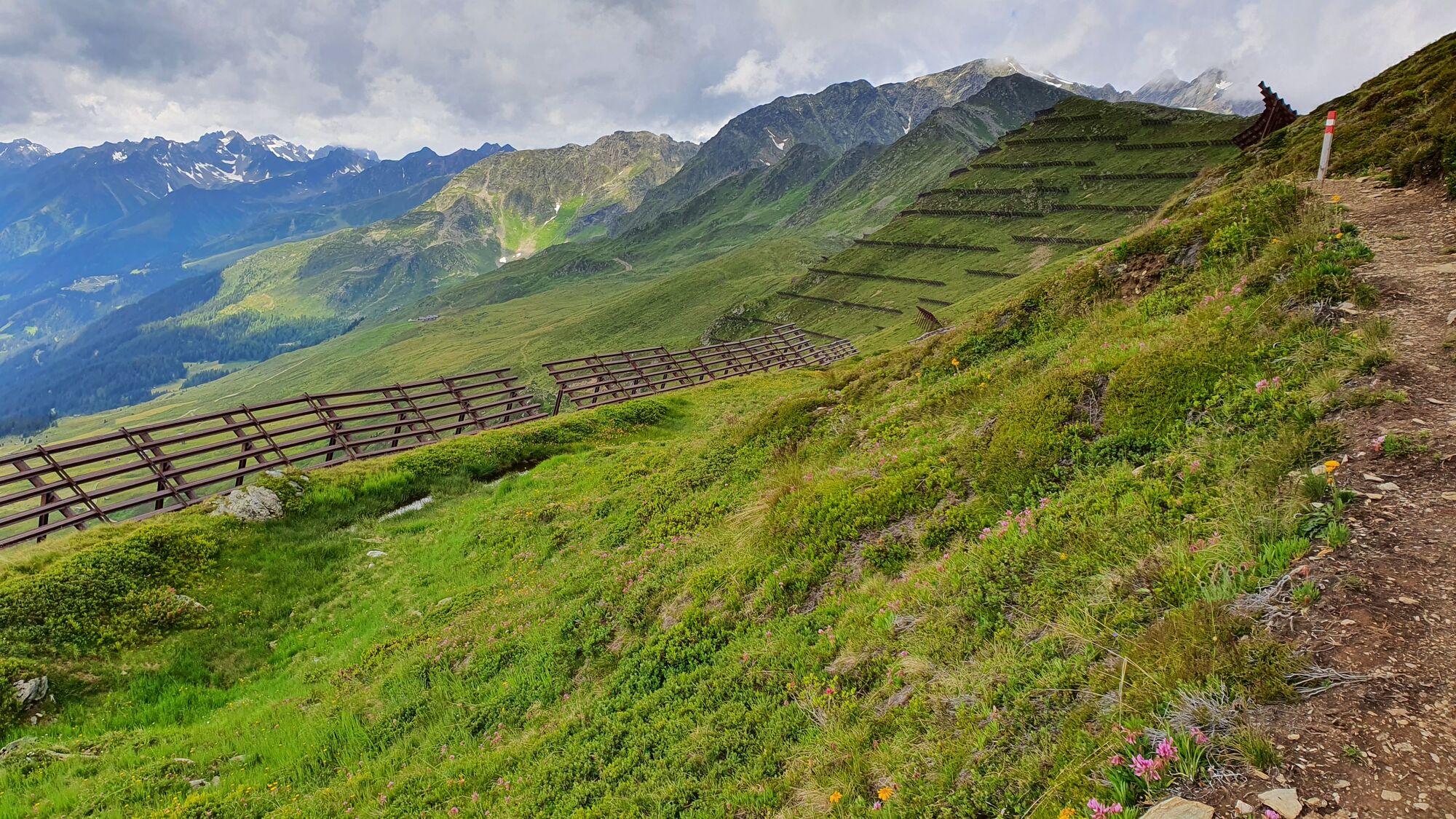
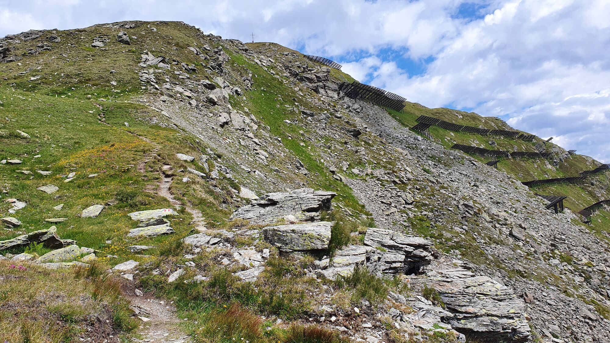
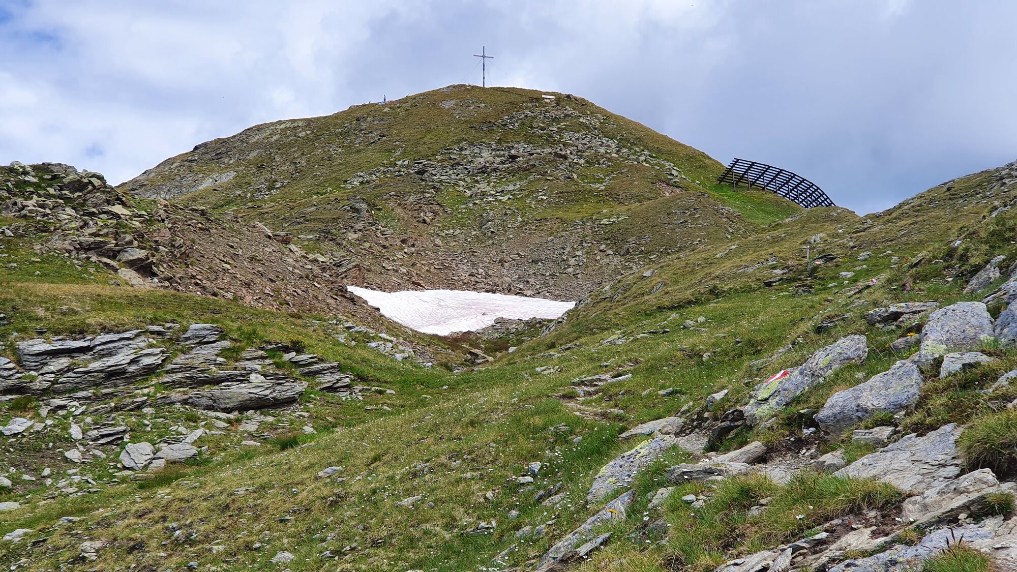
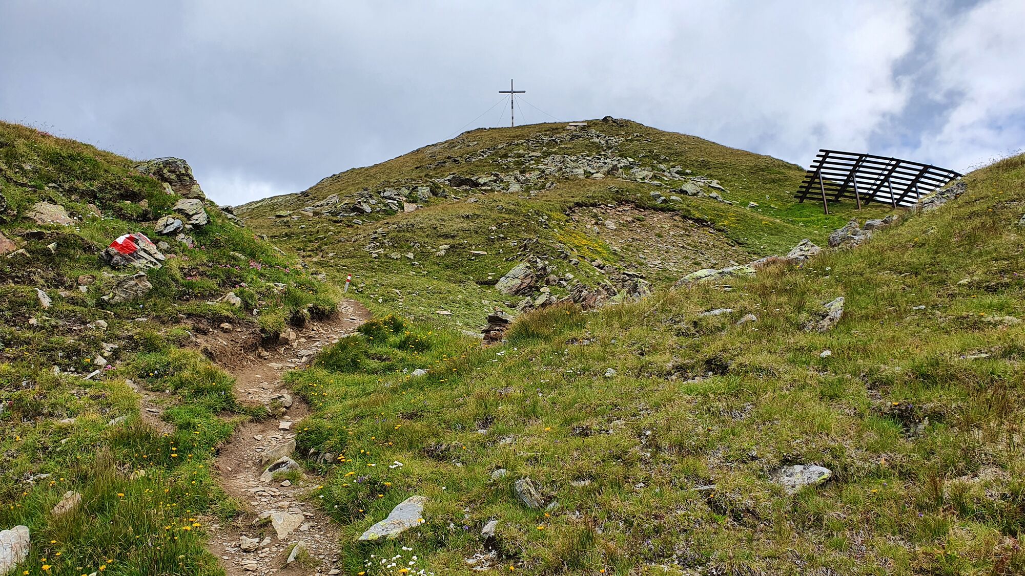
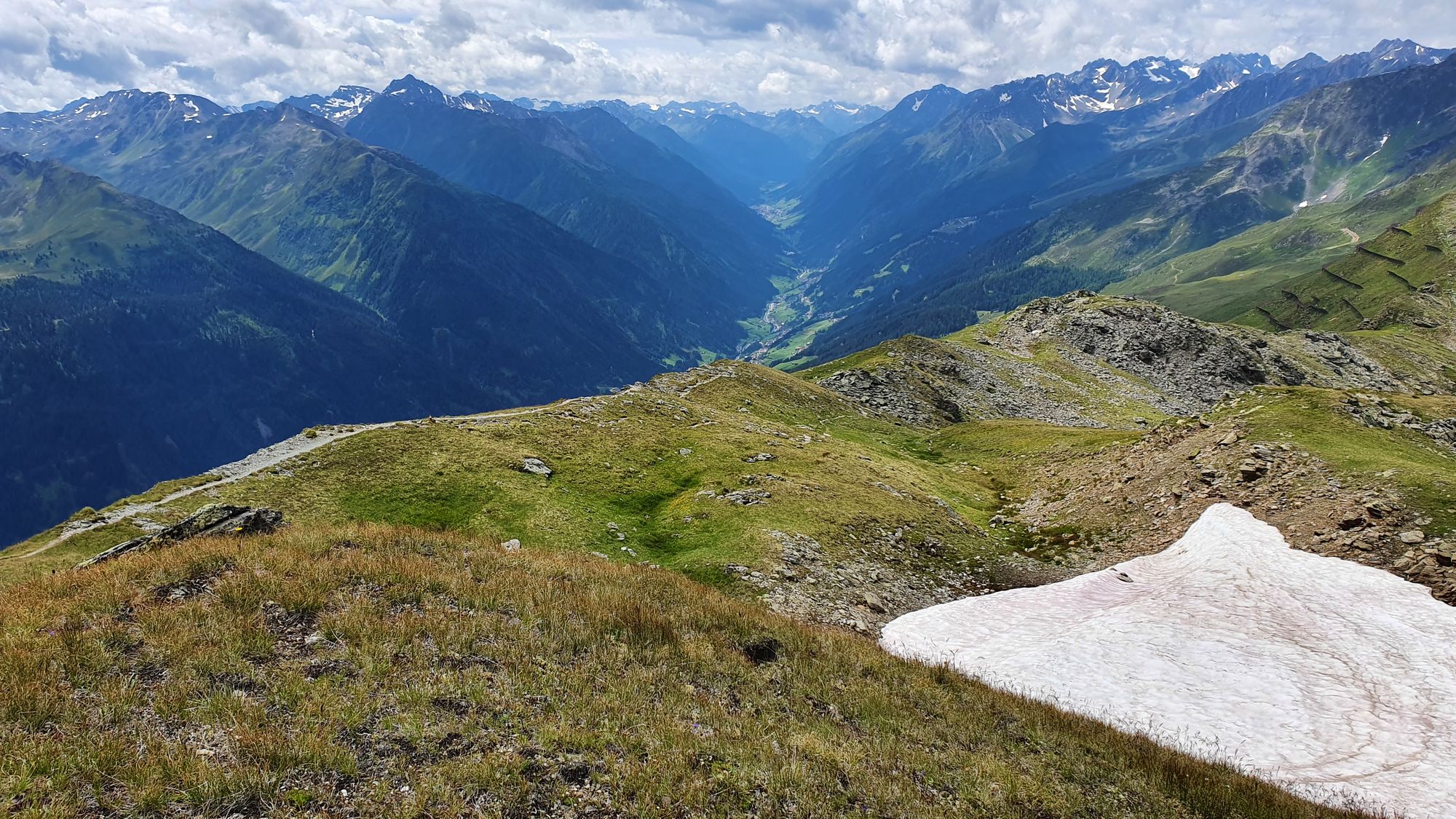
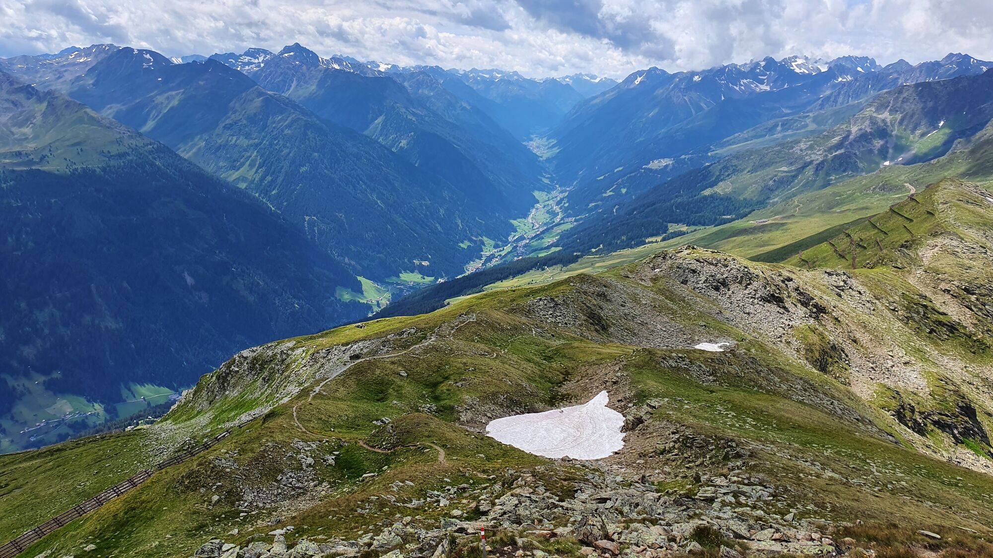
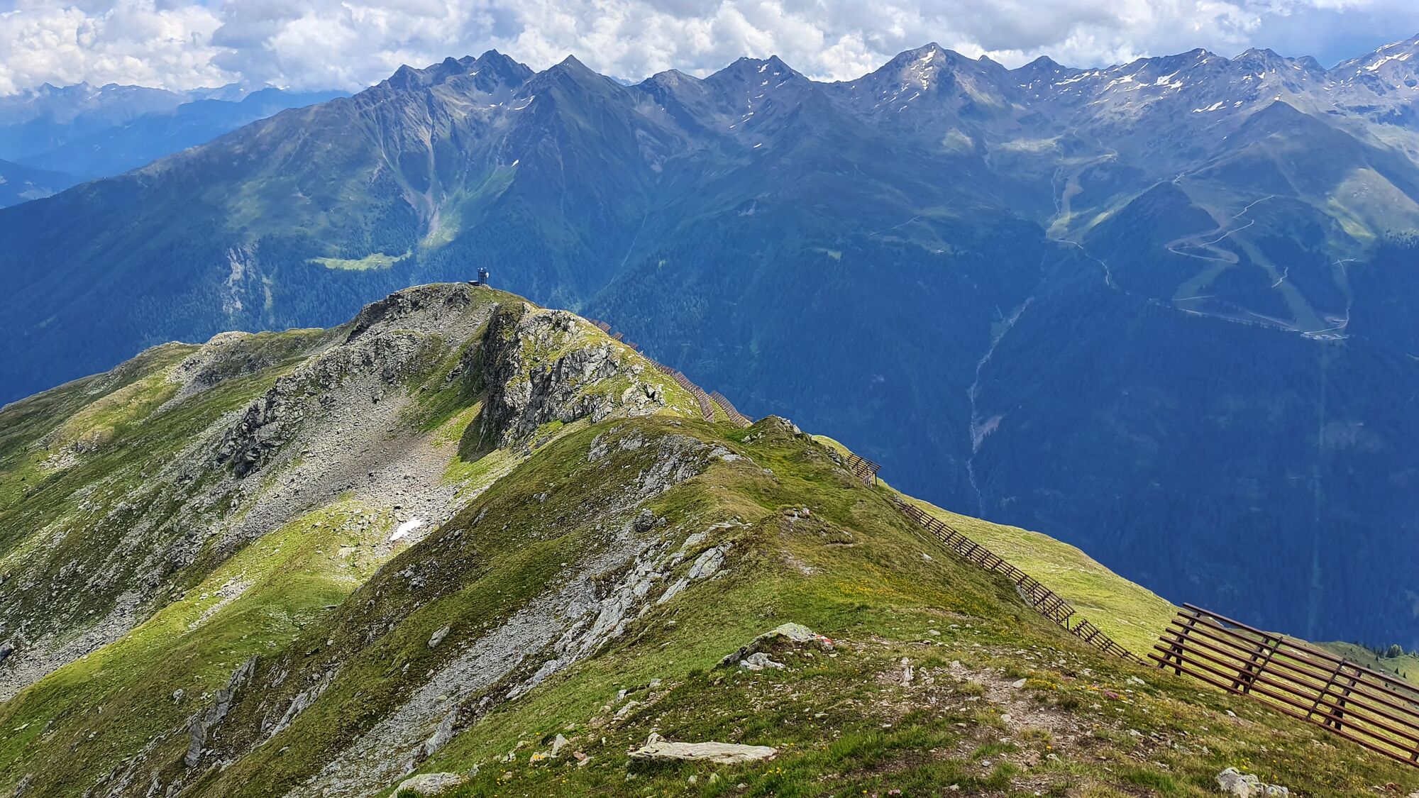
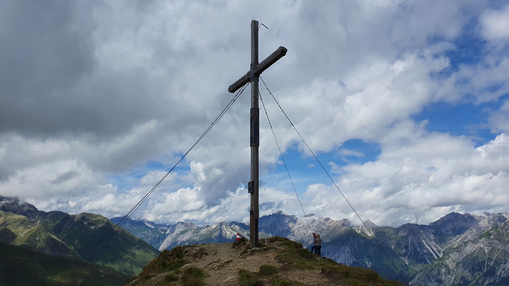
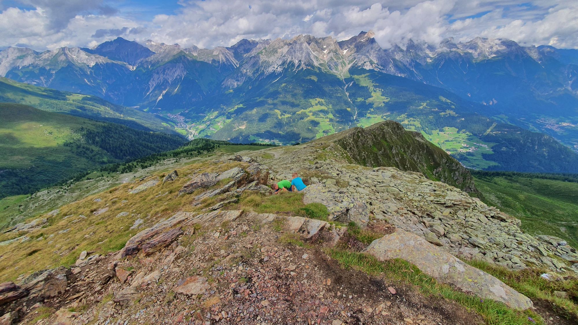
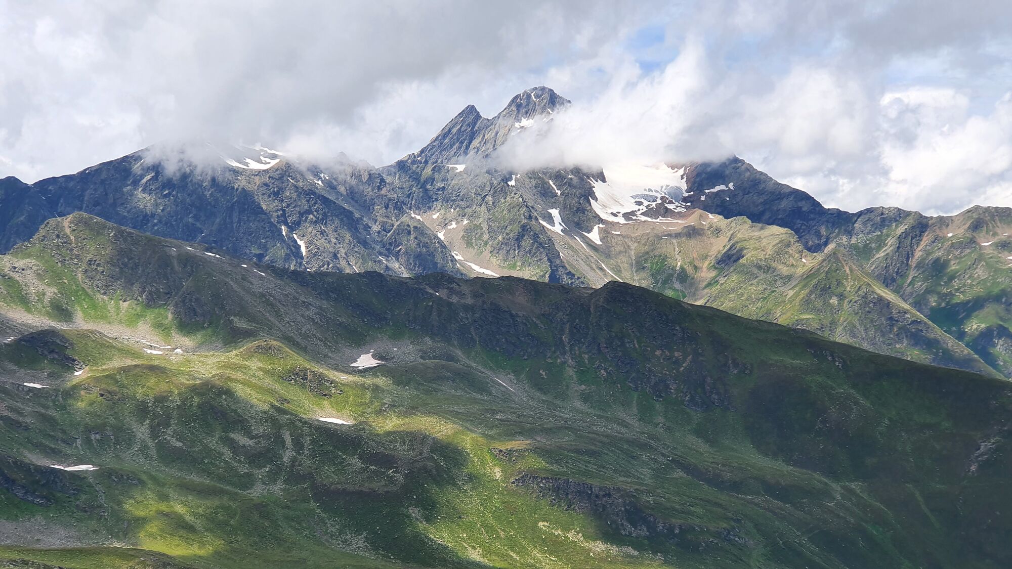
Tolle Wanderung in hochalpinen Gelände auf die Pezinerspitze. Rückfahrt über nette Almen nach Kappl.
- Vaikeus
-
tapa
- Arviointi
-
- Lähtöpiste
-
Kappl
- Reitti
-
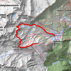
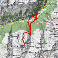
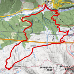
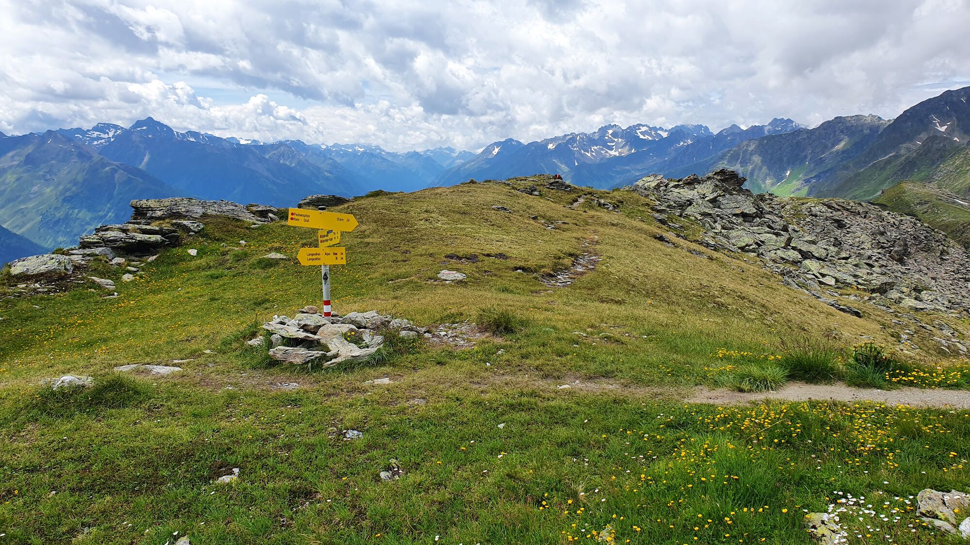
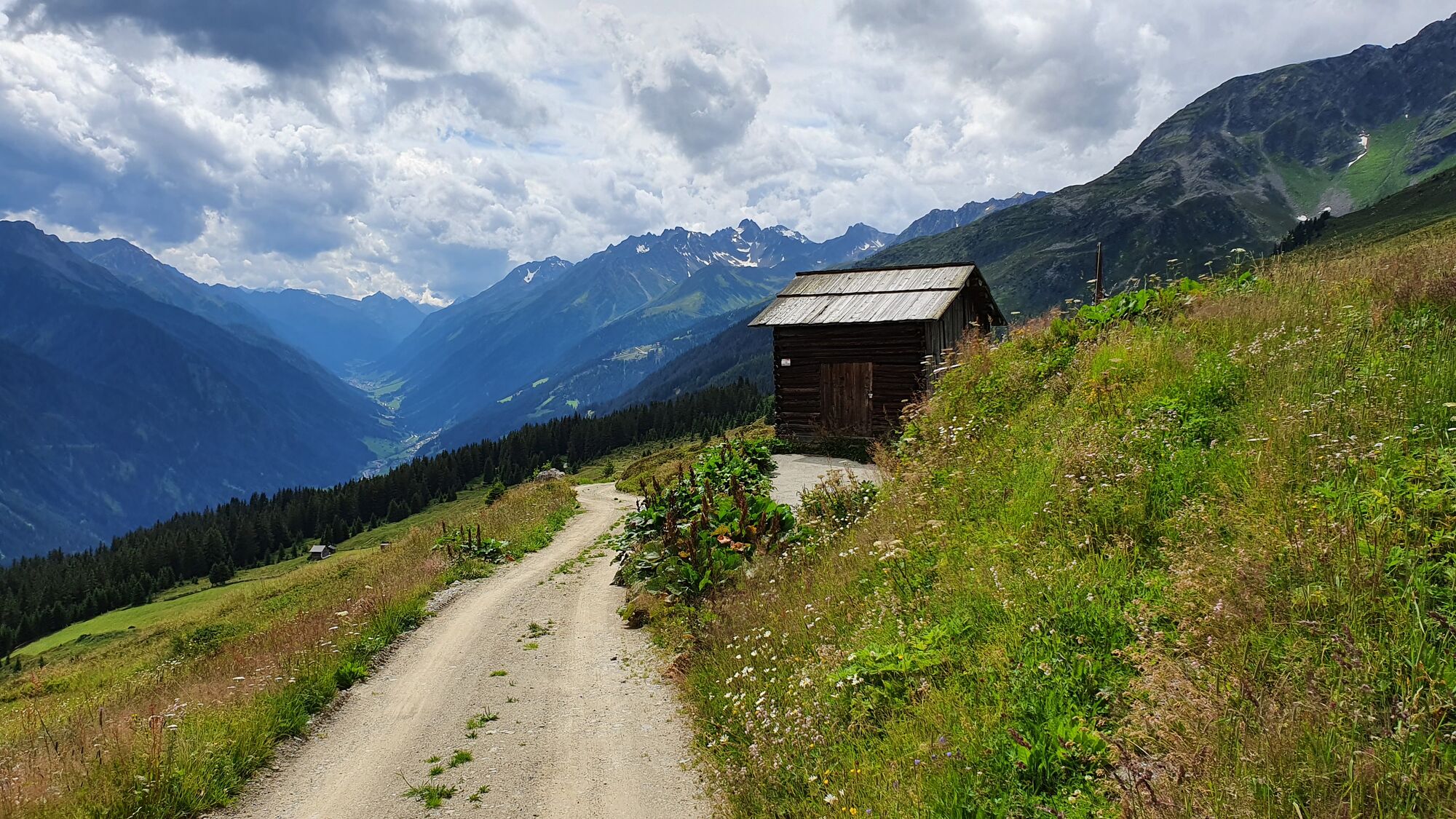
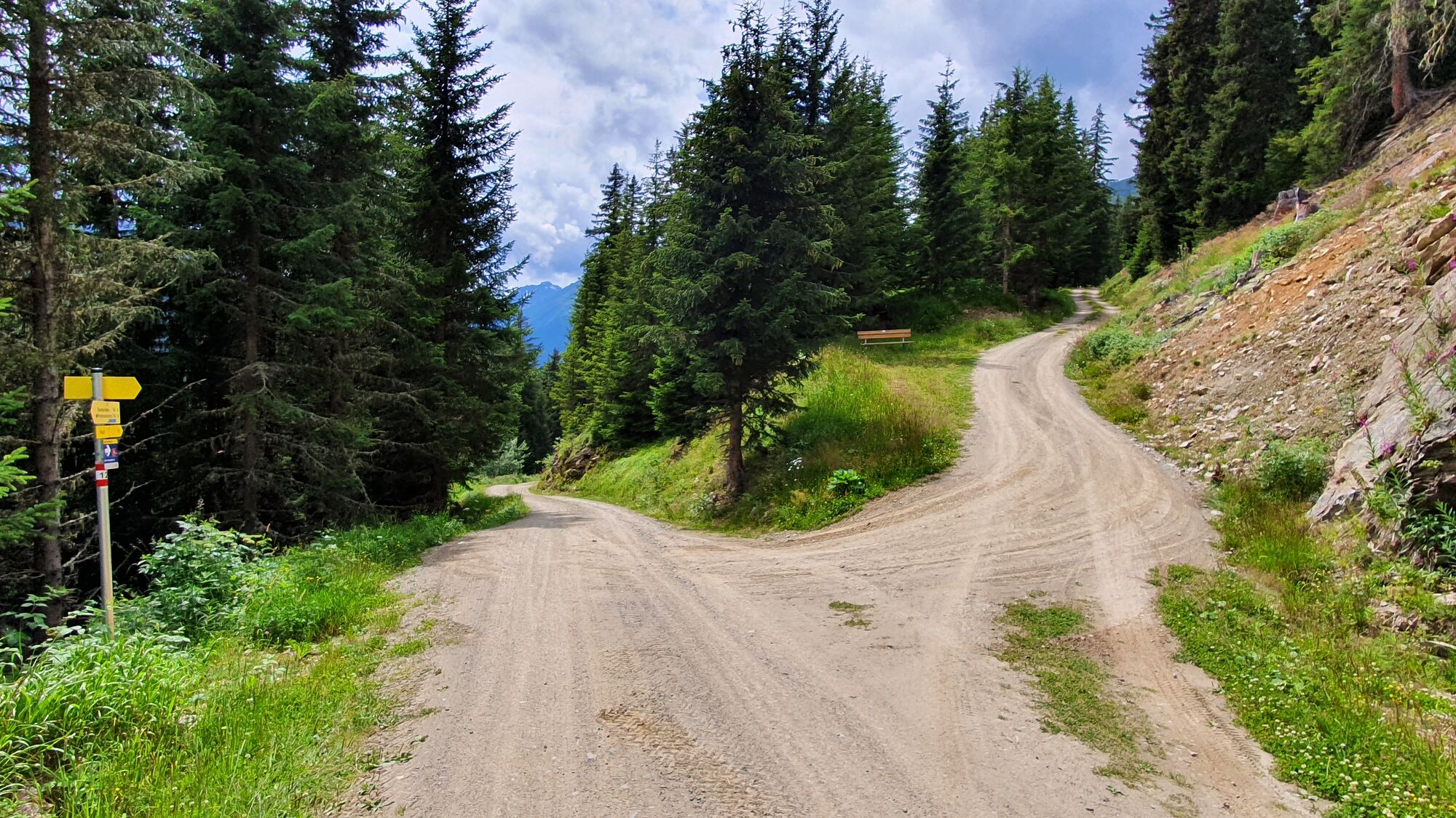
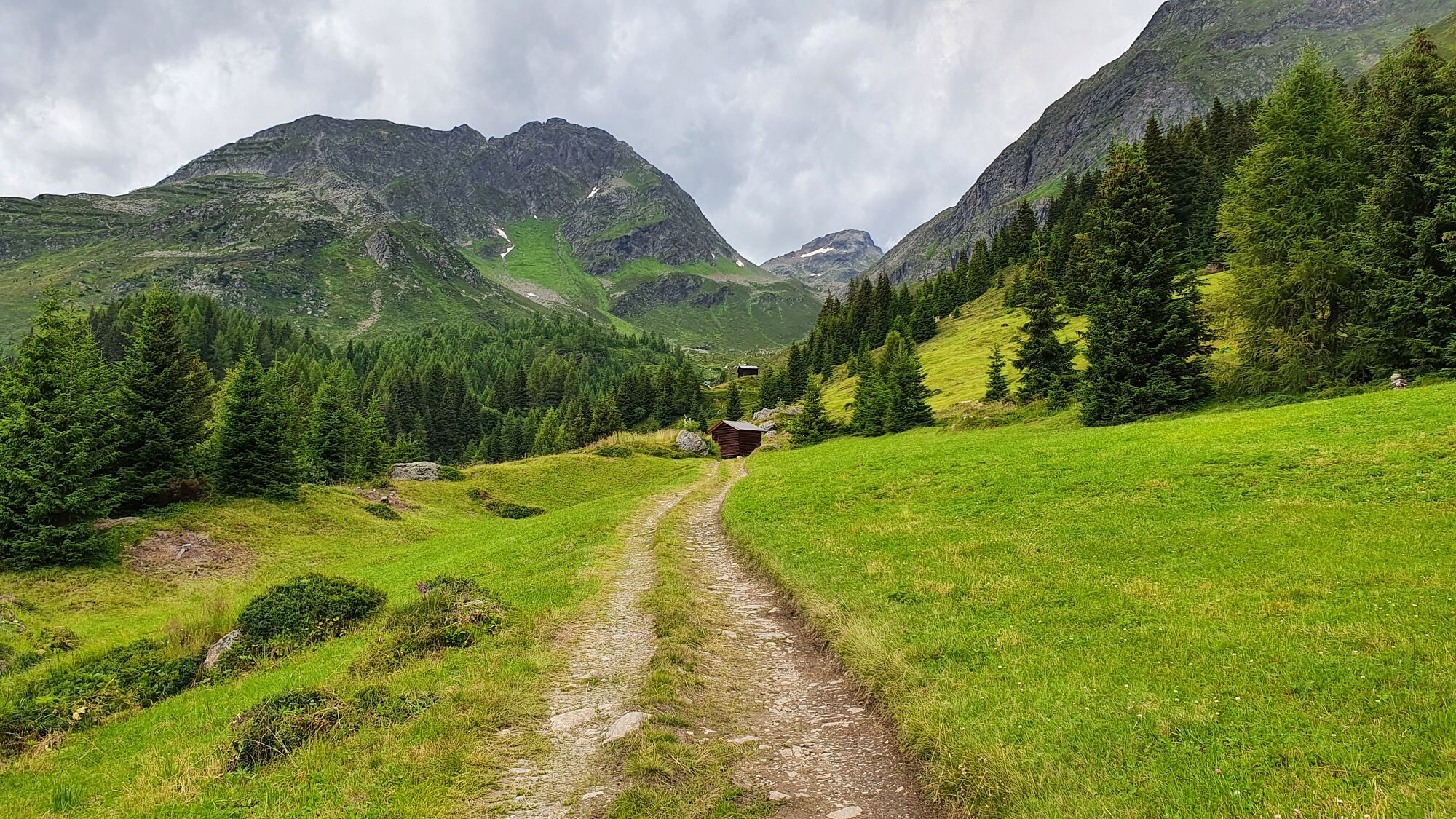
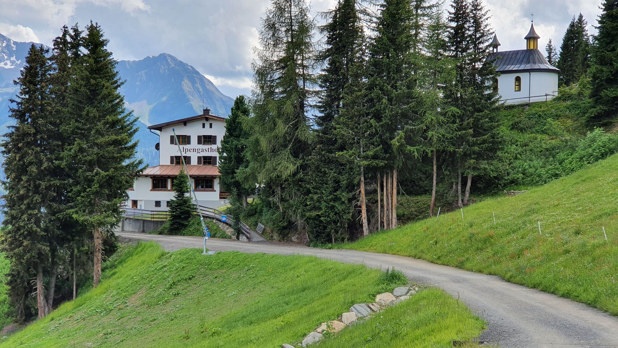
Kappl (1.258 m)Niederdorf0,5 kmObermühl0,9 kmHof1,2 kmUnterbichl1,9 kmOberbichl2,2 kmPerpat3,1 kmStädlen3,9 kmPirchegg4,3 kmInnerlangesthei5,9 kmAußerlangesthei6,3 kmPezinerspitze (2.550 m)14,9 kmDiasAlpe Kapelle28,8 kmAlpengasthof Dias29,0 kmRuhesteinkapelle32,8 kmHeiligkreuzkapelle33,9 kmHöfen34,7 kmGasthof Alpenfrieden34,8 kmMahren35,1 kmBild35,1 kmBildkapelle35,1 kmPfarrkirche zum heiligen Antonius35,5 kmKappl (1.258 m)35,6 km
- Paras kausi
-
tammihelmimaalishuhtitoukokesäheinäelosyyslokamarrasjoulu
- Korkein kohta
- Lengestheialpe (2.267 m)
- Kohde
-
Pezinerspitze
- Lepo/Retriitti
-
Alpengasthof Dias
- Videos
-
 23:033 years ago


GPS Downloads


Polun olosuhteet
Asfaltti
Sora
Niitty
Metsä
Kallio
Altistettu
Lisää retkiä alueilla
-
Paznaun - Ischgl
988
-
Kappl
231