© TVB Tiroler Oberland | Michael Veit

© TVB Tiroler Oberland | Michael Veit

© TVB Tiroler Oberland | Michael Veit
Retkitiedot
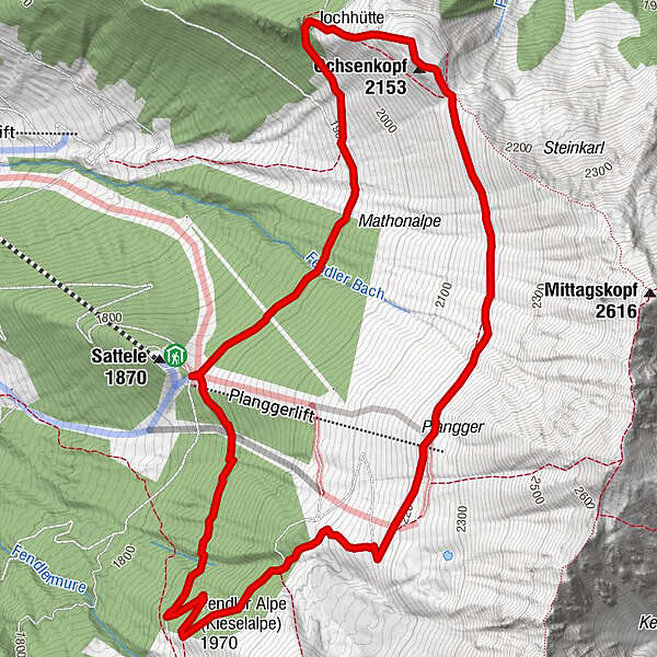
7,1km
1.869
- 2.240m
425hm
425hm
02:30h
- Lyhyt kuvaus
-
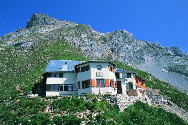
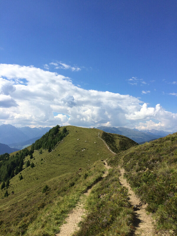
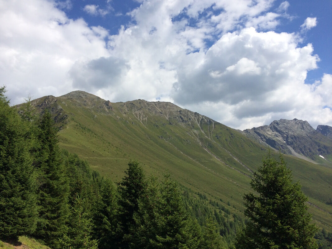
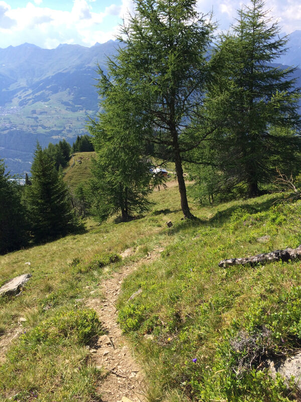
Aussichtsreiche und kurzweilige Höhen-Rundwanderung über den Ochsenkopf und durch leuchtend rote Almrosenfelder zur Fendler Alm.
- Vaikeus
-
tapa
- Arviointi
-
- Lähtöpiste
-
Sattelklause (per Lift erreichbar)
- Reitti
-
Fendler Alm5,5 km
- Paras kausi
-
tammihelmimaalishuhtitoukokesäheinäelosyyslokamarrasjoulu
- Korkein kohta
- 2.240 m
- Kohde
-
Ochsenkopf & Fendler Alm
- Lepo/Retriitti
-
Sattelklause & Fendler Alm
- Karttamateriaali
-
Wanderkarten im Infobüro Kaunertal erhältlich
- Infopuhelin
-
0043 50 225 200
- Link
- https://www.kaunertal.com/de/Ihr-Kaunertal/Tour...
- Lähde
- Kaunertal Tourismus