© Tiroler Zugspitz Arena
© Tiroler Zugspitz Arena
© Tiroler Zugspitz Arena
Retkitiedot
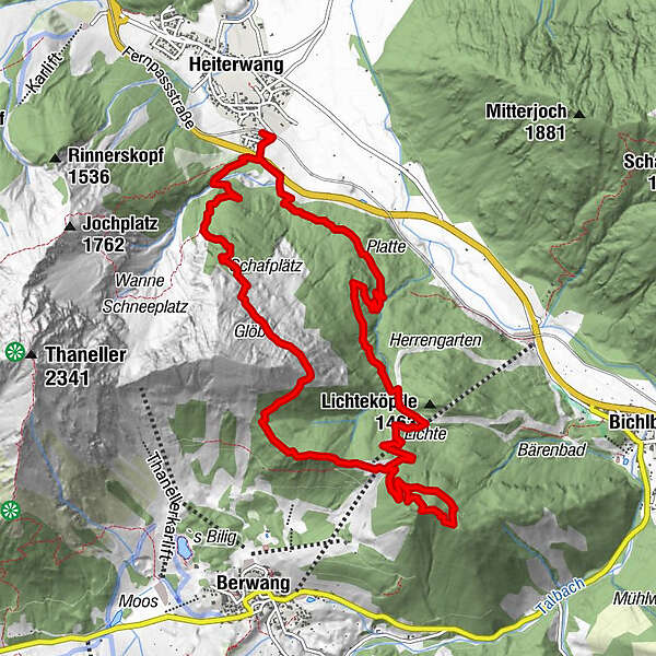
13,2km
1.011
- 1.760m
911hm
903hm
06:15h
- Lyhyt kuvaus
-
Rewarding hike with stunning panoramic views
- Vaikeus
-
tapa
- Arviointi
-
- Lähtöpiste
-
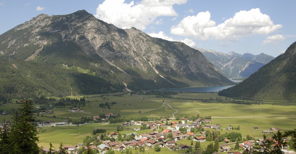
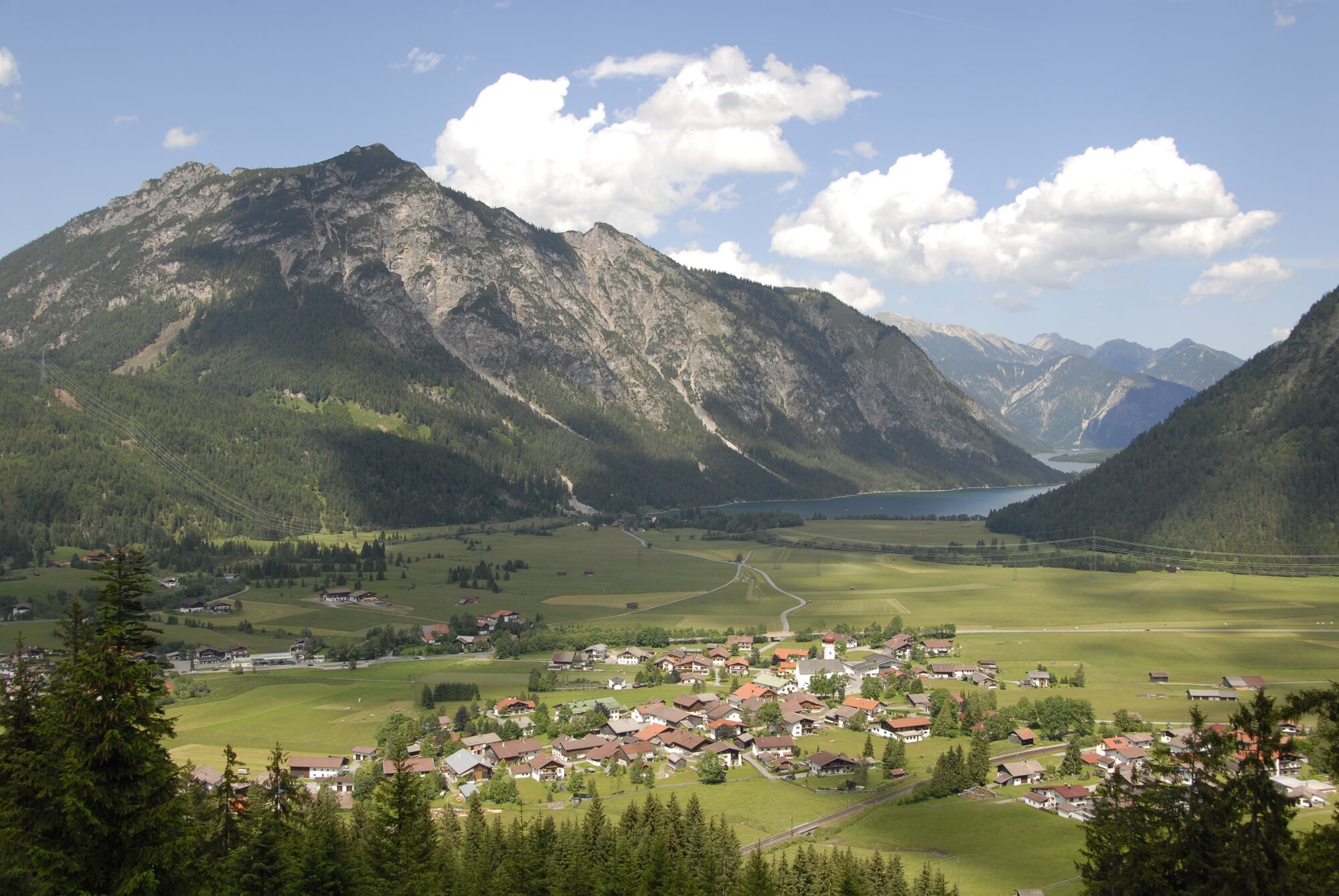
Above Heiterwang railway station
- Reitti
-
Heiterwang (994 m)Sonnalmbahn5,1 kmHeiterwanger Hochalm5,1 kmAlmkopf (1.802 m)6,2 kmHeiterwang (994 m)13,2 km
- Paras kausi
-
tammihelmimaalishuhtitoukokesäheinäelosyyslokamarrasjoulu
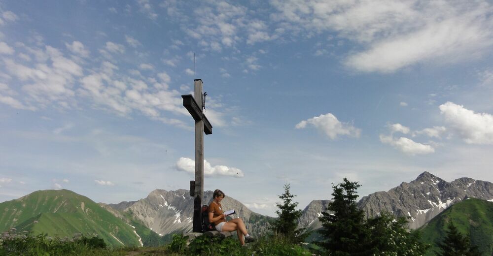
- Korkein kohta
- Almkopfgipfel (1.760 m)
- Kohde
-
Train station Heiterwang
- Lepo/Retriitti
-
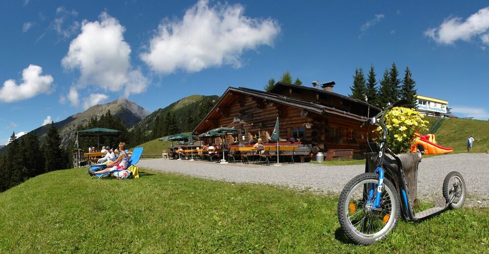
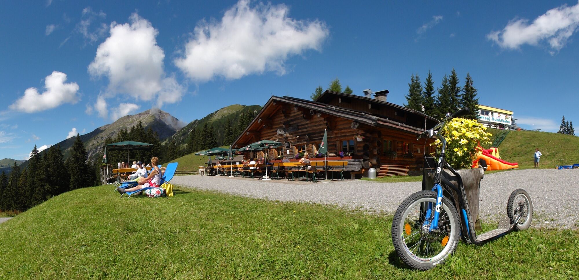
Heiterwanger Hochalm
- Karttamateriaali
-
Hiking map available in the tourist offices of the Tiroler Zugspitz Arena

- Infopuhelin
-
0043 5673 20.000
- Link
- https://zugspitzarena.com/de/Sommer-Erlebnis/Map
- Lähde
- Tiroler Zugspitz Arena
GPS Downloads


Polun olosuhteet
Asfaltti
Sora
Niitty
Metsä
Kallio
Altistettu
Lisää retkiä alueilla
-
Naturparkregion Reutte
1437
-
Berwang
307